Old Maps of Live Easy, Cumberland Township for Metal Detecting
Plan your next treasure hunt with 17 historic maps of Live Easy. Find old homesites, ghost towns, trails, and gathering spots that may be lost to time — perfect for identifying promising metal detecting locations.
- Locate forgotten sites: Uncover places like long-lost settlements, abandoned rail lines, or gathering spots.
- Plan better hunts: Use map overlays combined with LiDAR or satellite views to narrow in on historically rich areas.
- Made for detectorists: Thousands of hobbyists use these maps to discover relics, coins, and hidden history.
Use these historic maps to boost your research and find new opportunities beneath the surface of Live Easy.
Live Easy, Cumberland Township maps
(17)- 1900 Map of Masontown
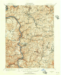
 1900 Masontown1900 Print · USGSThe Monongahela River valley was a hub of transit and industry at the turn of the century, defined by its numerous ferry crossings and coal-country junctions. Researchers can trace historic river crossings like McCanns Ferry, follow the National Pike, and locate vanished rail stops at Ache Junction.
 - 1903 Map of Masontown
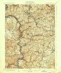
 1903 Masontown1903 Print · USGSThe Monongahela River valley at the turn of the century was a vital artery of ferries and river locks connecting Fayette and Greene Counties. Genealogists and local historians can trace family roots through riverfront landings and towns like Greensboro, Masontown, and Smithfield.4 unique versions available
 - 1931 Map of Masontown, 1957 Print
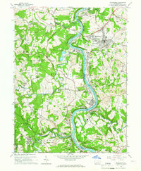
 1931 Masontown1957 Print · USGSFayette County’s industrial landscape is captured here during the 1930s, showing the high-water mark of the regional coal and coke era. Genealogists and historians can trace company towns and numbered mines like Tower Hill No 1 and Thompson No 2 alongside river crossings like Crows Ferry.
 - 1935 Map of Masontown
 1935 Masontown1935 Print · USGSFayette and Greene Counties come alive in the 1930s as the river-and-rail economy of the Monongahela Valley reaches its peak. Genealogists can trace family roots through numerous country schools like Christopher Sch and historic sites such as Friendship Hill.2 unique versions available
 - 1948 Map of Cumberland
 1948 Cumberland1948 Print · USGSMid-century Appalachia and the Shenandoah Valley are shown in detail, documenting the industrial and transportation hubs of the tri-state area. Genealogists can trace family roots through settlements like Double Tollgate and Bunker Hill or along the Baltimore & Ohio RR.3 unique versions available
 - 1952 Map of Cumberland
 1952 Cumberland1952 Print · USGSThe Potomac Highlands and the Shenandoah Valley are revealed in this early 1950s survey of the Appalachian interior. Researchers can trace the river-and-rail corridors connecting Cumberland, Winchester, and the recreational waters of Deep Creek Lake.
 - 1956 Map of Cumberland, 1966 Print
 1956 Cumberland1966 Print · USGSThe tri-state Highlands in the mid-1950s show a landscape shaped by coal, timber, and the massive presence of the Baltimore & Ohio RR. Researchers can trace the industrial corridor from Cumberland through the Allegheny Mountains to mountain retreats like Deep Creek Lake.6 unique versions available
 - 1957 Map of Cumberland
 1957 Cumberland1957 Print · USGSThe Potomac River valley and the ridges of the Allegheny Front define this mid-century landscape at the intersection of Maryland, West Virginia, and Pennsylvania. Trace the steam-era rail lines of the Baltimore and Ohio RR or locate rural landmarks like St Stephens Church and Stony River Dam.
 - 1961 Map of Cumberland
 1961 Cumberland1961 Print · USGSThe tri-state highlands of Maryland, West Virginia, and Pennsylvania are shown in the mid-twentieth century as a complex landscape of ridges and river valleys. Researchers can trace the winding Potomac River and find old rail-and-river towns like Cumberland, Keyser, and Morgantown.
 - 1962 Map of Cumberland
 1962 Cumberland1962 Print · USGSThe central Appalachians meet at the height of the mid-century industrial era, showing the rugged topography between Morgantown and Winchester. Genealogists can trace family lands near Fort Necessity or along the vital Baltimore & Ohio RR corridors.
 - 1964 Map of Masontown, 1966 Print
 1964 Masontown1966 Print · USGSThe Monongahela River valley in the early 1960s is a landscape of industrious coal towns and river-fed commerce. Researchers can trace family ties at Mundell Cemetery or locate historic industry at the Coke Ovens and Lock and Dam No 7.3 unique versions available
 - 1979 Map of Morgantown, 1983 Print
 1979 Morgantown1983 Print · USGSThe northern Appalachian borderlands are captured here in the late seventies, showing the tri-state area of West Virginia, Pennsylvania, and Maryland. Genealogists and historians can trace the Mason and Dixon Line through mountain settlements like Markleysburg and across the Youghiogheny River Lake.
 - 2010 Map of Masontown, 2010 Print
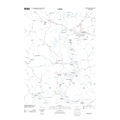
 2010 Masontown2010 Print · USGSCovers Live Easy, including Masontown, Springhill Township, and other nearby areas
 - 2013 Map of Masontown, 2013 Print
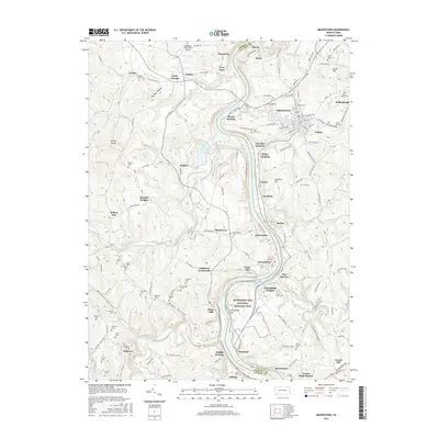
 2013 Masontown2013 Print · USGSCovers Live Easy, including Masontown, Springhill Township, and other nearby areas
 - 2016 Map of Masontown, 2016 Print
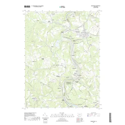
 2016 Masontown2016 Print · USGSCovers Live Easy, including Masontown, Springhill Township, and other nearby areas
 - 2019 Map of Masontown, 2019 Print
 2019 Masontown2019 Print · USGSCovers Live Easy, including Masontown, Springhill Township, and other nearby areas
 - 2023 Map of Masontown, 2023 Print
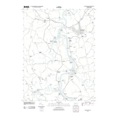
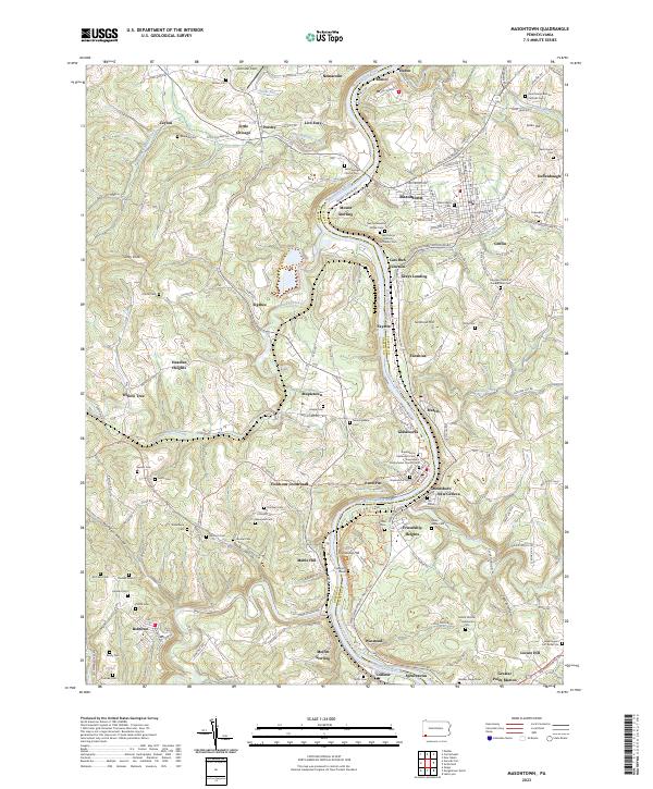 2023 Masontown2023 Print · USGSThe Monongahela River valley comes alive in this contemporary survey of the Fayette and Greene county border. Genealogists can trace family heritage through Sophia's Grave, Swearingen's Fort Burial Site, and the Friendship Hill National Historic Site.
End of results
Showing maps 1-17 of 17
Top cities near Live Easy
- Morgantown historical maps
- Uniontown historical maps
- California historical maps
- Luzerne Township historical maps
- Redstone historical maps
- Westover historical maps
See more
Frequently asked questions
- What are the different types of historical maps available for Live Easy?
- What is the oldest map of Live Easy?
- Where can I purchase historical maps of Live Easy for my home or office?
- Where can I download high-res historical maps of Live Easy?
- Are there historical topographic maps available for Live Easy?
- Is there historical aerial imagery available for Live Easy?
- Where are historical maps of Live Easy sourced from?