Old Maps of Perry Township, Pennsylvania
Explore 36 old maps of Perry Township, spanning from 1901 to today. These high-resolution historic maps reveal how streets, neighborhoods, landmarks, and natural features evolved over time — perfect for genealogy, metal detecting, research, and local history exploration.
What you can do with these maps:
- See how Perry Township changed over time: Compare historical maps to modern-day views to trace roads, homesites, rail lines & more.
- View detailed metadata: Each map includes creators, publishers, year, scale, and archive source.
- Overlay maps with satellite & LiDAR: Visualize the past alongside modern tools to explore terrain & human change.
- Trusted historical sources: Maps sourced from the USGS, Library of Congress, and other archives.
- Access maps your way: View online, download high-res files, or order prints for personal or research use.
Start exploring old maps of Perry Township to uncover forgotten places, hidden landmarks, and the deep history beneath your feet.
Perry Township, PA maps
(36)- 1901 Map of Waynesburg, 1958 Print
 1901 Waynesburg1958 Print · USGSGreene County at the start of the twentieth century shows a landscape of deep valleys and rising townships connected by the South Fork of Tenmile Creek. Genealogists can trace family names through landmarks like Rees Mill, Gump, and the dual settlement of Kirby Newtown.
 - 1904 Map of Blacksville
 1904 Blacksville1904 Print · USGSThe West Virginia and Pennsylvania border comes alive in this survey from the early twentieth century. Researchers can trace the river economy along the Monongahela at Lock No. 13 or locate rural homesteads near Fairview Amos P.O. and Blacksville.3 unique versions available
 - 1904 Map of Waynesburg
 1904 Waynesburg1904 Print · USGSGreene County was a landscape of deeply carved creek valleys and rural crossroads at the start of the twentieth century. Genealogists and local historians can trace early property settings near Waynesburg, Rees Mill, and the riverside borough of Rices Landing.5 unique versions available
 - 1923 Map of Blacksville, 1956 Print
 1923 Blacksville1956 Print · USGSMonongalia and Marion counties appear here during the early twentieth century as the coal and rail economy began to reshape the rural landscape. Researchers can find numerous family landmarks, from Town School and Olive Church to the industrial works at Montana Mines.
 - 1925 Map of Blacksville
 1925 Blacksville1925 Print · USGSMonongalia and Marion Counties are shown in the mid-1920s, a period when rural life centered on a vast network of neighborhood schools and churches. Genealogists can trace family roots through specific landmarks like Stumptown School, Montana Mines, and Monumental Church.4 unique versions available
 - 1949 Map of Clarksburg
 1949 Clarksburg1949 Print · USGSThe upper Ohio River valley and the industrial heart of West Virginia come into focus during this post-war period. Genealogists and researchers can trace the rail corridors of the Baltimore and Ohio and locate centers like Fairmont, Grafton, and Waynesburg.
 - 1956 Map of Clarksburg, 1966 Print
 1956 Clarksburg1966 Print · USGSThe Ohio River valley and the industrial heart of West Virginia are seen here in the mid-1950s as rail and river commerce thrived. Researchers can trace historic transport lines like the Baltimore and Ohio RR and locate ancestral homes in Clarksburg, Moundsville, or Parkersburg.2 unique versions available
 - 1958 Map of Osage, 1961 Print
 1958 Osage1961 Print · USGSThe West Virginia-Pennsylvania state line and the Monongahela River valley are shown in the late fifties, capturing a landscape shaped by mining and rail. Genealogists can trace family names through rural landmarks like Lemley Cem, Greeley Sch, and the community at Mount Morris.3 unique versions available
 - 1958 Map of Blacksville, 1962 Print
 1958 Blacksville1962 Print · USGSMonongalia County's rugged gas fields and rural crossroads are captured here in the late fifties. Researchers can locate family landmarks like Tennant Cem, the Drive-in Theater near Blacksville, and small settlements like Mooresville and Daybrook.4 unique versions available
 - 1961 Map of Clarksburg
 1961 Clarksburg1961 Print · USGSThe mid-century industrial and river landscapes of West Virginia and Ohio are detailed here, centered on the Ohio River. Researchers can trace the Baltimore and Ohio rail lines connecting towns like Parkersburg, Clarksburg, and Monongah.
 - 1961 Map of Oak Forest, 1963 Print
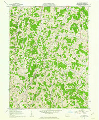 1961 Oak Forest1963 Print · USGSGreene County’s rural character is captured here in the early 1960s, showing a landscape of hollows and ridge-top settlements. Genealogists can trace family landmarks and rural hubs like Oak Forest, Spraggs, and the Shannon Run Sch.4 unique versions available
 - 1961 Map of Garards Fort, 1963 Print
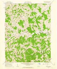 1961 Garards Fort1963 Print · USGSGreene County in the early sixties remains a patchwork of family cemeteries and coal shafts. Genealogists can trace ancestral sites like Morris Cem or the Asbury Ch, while others can find the exact locations of the Garards Fort Shaft and old Covered Bridge.4 unique versions available
 - 1976 Map of Osage, 1979 Print
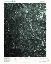 1976 Osage1979 Print · USGSThe West Virginia and Pennsylvania borderlands come into focus in the mid-seventies, showing the coal-country settlements along the valley floors. Genealogists can trace the residential layouts and road networks of Mount Morris, Cassville, and Osage.
 - 1984 Map of Moundsville
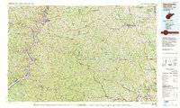 1984 Moundsville1984 Print · USGSThe Ohio River valley and the Appalachian interior meet in the mid-eighties as a hub of rail and river commerce. Genealogists and historians can trace the development of river towns like New Martinsville, inland hubs like Waynesburg, and the path of the B & O RR.
 - 1988 Map of Clarksburg, 1989 Print
 1988 Clarksburg1989 Print · USGSThe central Appalachians are documented in detail during the late eighties, showing the industrial and river-based economies of West Virginia, Ohio, and Pennsylvania. Researchers can trace historic rail routes like the B & O RR and locate river towns from St Marys to Parkersburg.
 - 1997 Map of Osage, 1999 Print
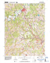 1997 Osage1999 Print · USGSCrossing the Pennsylvania and West Virginia border in the late nineties, this area showcases the transition from traditional agriculture to intensive mining. Researchers can trace family sites like Greeley Sch, Buckeye Ch, and the Cedar Grove Cem near Mount Morris.
 - 2010 Map of Oak Forest, 2010 Print
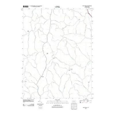 2010 Oak Forest2010 Print · USGSGreene County’s rural hollows and ridge-top settlements are captured here in the early twenty-first century. Genealogists can locate family burial sites like Phillips Cemetery and Fairview Cemetery or trace old routes near Spraggs and Gump.
 - 2010 Map of Garards Fort, 2010 Print
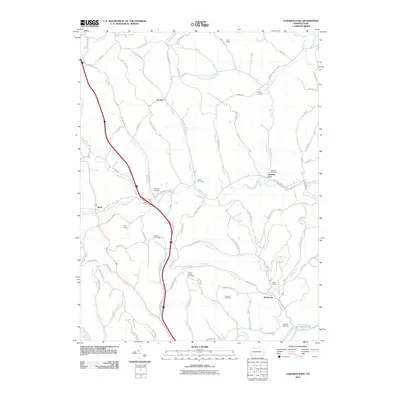 2010 Garards Fort2010 Print · USGSDunkard Township and the surrounding Greene County hills are shown here in the early twenty-first century, balancing deep coal mining roots with rural valley life. Genealogists and historians can locate numerous burial sites like Steele Cemetery and trace industrial landmarks such as the Garards Fort Shaft.
 - 2011 Map of Osage, 2011 Print
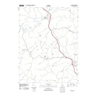 2011 Osage2011 Print · USGSThe Pennsylvania and West Virginia state line is documented here in the early twenty-first century, showing the enduring rural character of the Dunkard Creek valley. Genealogists can trace family heritage through numerous burial sites like Liming Cemetery and Simpson Cemetery or the Core Post Office.
 - 2011 Map of Blacksville, 2011 Print
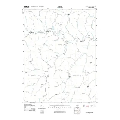 2011 Blacksville2011 Print · USGSNear the West Virginia and Pennsylvania border, this 2011 survey captures the rural character of Monongalia County and its historic family lands. Genealogists can trace family heritage through numerous burial sites including Blacksville Cemetery, Tennant Memorial Cemetery, and Eddy Chapel Cemetery.
 - 2013 Map of Garards Fort, 2013 Print
 2013 Garards Fort2013 Print · USGSDunkard Township and Greene County are mapped here in the early 2010s, showing a landscape shaped by coal mining and winding creeks. Genealogists and historians can trace local shafts like Garards Fort Shaft and Kirby Shaft or locate the Bald Hill Church.
 - 2013 Map of Oak Forest, 2013 Print
 2013 Oak Forest2013 Print · USGSGreene County’s rural highlands are captured here in the early twenty-first century, showcasing a landscape of winding stream valleys and ridge-top roads. Genealogists and local historians can trace family-named landmarks and small communities like Spraggs, Oak Forest, and Gump.
 - 2014 Map of Blacksville, 2014 Print
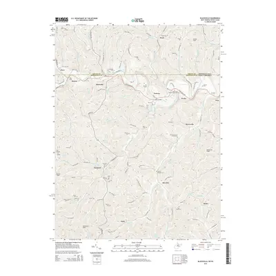 2014 Blacksville2014 Print · USGSCrossing the Pennsylvania and West Virginia border in 2014, this area along Dunkard Creek preserves a detailed view of Appalachian valley settlements. Local historians can trace family roots through dozens of sites like Olive United Methodist Church Cem, Maedale, and Brave.
 - 2014 Map of Osage, 2014 Print
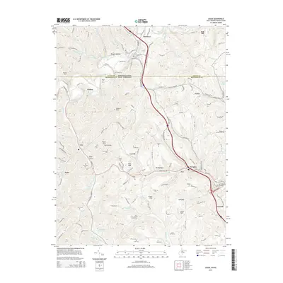 2014 Osage2014 Print · USGSThe border country between Greene and Monongalia counties comes into focus in this modern survey of the Monongahela River’s western hills. Genealogists can trace family connections through a high density of rural cemeteries like Meyers Cem and Barrackman Cem or locate the village of Cassville.
 - 2016 Map of Oak Forest, 2016 Print
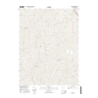 2016 Oak Forest2016 Print · USGSGreene County’s rural highlands come into focus in this recent study of the Pennsylvania landscape. Genealogists and local historians can trace family locations through several burial sites like Claughton Cem and Phillips Cem or the namesake hills of Brant Hill.
Showing maps 1-25 of 36
Top cities near Perry Township
- Morgantown historical maps
- Luzerne Township historical maps
- Waynesburg historical maps
- Westover historical maps
- Masontown historical maps
- Springhill Township historical maps
See more
Top neighborhoods of Perry Township
Frequently asked questions
- What are the different types of historical maps available for Perry Township?
- What is the oldest map of Perry Township?
- Where can I purchase historical maps of Perry Township for my home or office?
- Where can I download high-res historical maps of Perry Township?
- Are there historical topographic maps available for Perry Township?
- Is there historical aerial imagery available for Perry Township?
- Where are historical maps of Perry Township sourced from?