Old Maps of Spruce Creek Township, Pennsylvania for Academic Research
Study the evolution of Spruce Creek Township with 33 high-resolution historic maps. Whether you're teaching, researching, or modeling changes in land use, these maps provide essential visual documentation of urban, environmental, and geographic change.
- Analyze long-term change: Track patterns in development, transportation, and natural features.
- Ideal for environmental or urban studies: Support academic projects with primary historical map data.
- Use in the classroom or lab: Educators and researchers rely on these maps to bring historical context to life.
These maps are a powerful tool for teaching, research, and visualizing how Spruce Creek Township has changed over the decades.
Spruce Creek Township, PA maps
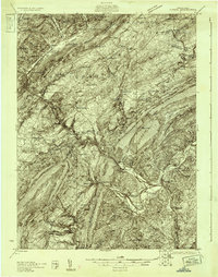
(33)- 1923 Map of Tyrone
 1923 Tyrone1923 Print · USGSThe industrial and rail corridor of the Juniata Valley is captured here in the early twenties as it winds between massive ridges. Researchers can locate early iron landmarks like Huntingdon Furnace, local schools such as Kinch School, and the rail junction at Tyrone.4 unique versions available
 - 1929 Map of Tyrone
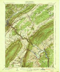
 1929 Tyrone1929 Print · USGSCentral Pennsylvania during the 1920s reveals a landscape defined by industrial rail towns and limestone valleys. Trace the route of the Pennsylvania Railroad past historic sites like Graziers Mill and Union Furnace.6 unique versions available
 - 1933 Map of Tyrone
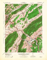
 1933 Tyrone1933 Print · USGSCentral Pennsylvania's iron and rail heritage is on full display here in the early thirties as the industrial hub of Tyrone connects the valleys. Genealogists can trace family footprints at Pennsylvania Furnace, Grazier Mill, and dozens of rural schoolhouses like Rural Choice Sch.3 unique versions available
 - 1946 Map of Tyrone
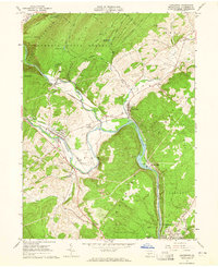
 1946 Tyrone1946 Print · USGSThe valleys of Blair and Huntingdon counties are captured here in the 1940s as rail and river corridors defined local life. Researchers can trace the Pennsylvania Canal, find family-named schoolhouses like Eyer Sch, or locate the historic Huntingdon Furnace.
 - 1953 Map of Pittsburgh
 1953 Pittsburgh1953 Print · USGSWestern Pennsylvania's industrial landscape at the start of the fifties shows the steel and rail corridors between Pittsburgh and Altoona. Trace family roots in river towns like Tarentum or follow the Pennsylvania Turnpike across Laurel Hill.
 - 1954 Map of Pittsburgh
 1954 Pittsburgh1954 Print · USGSWestern Pennsylvania in the early fifties remains a powerhouse of heavy industry and vital transit corridors. Genealogists and historians can trace the rail-and-river network connecting Pittsburgh, Johnstown, and Altoona via the Pennsylvania RR and the Lincoln Highway.2 unique versions available
 - 1958 Map of Pittsburgh
 1958 Pittsburgh1958 Print · USGSWestern Pennsylvania in the late fifties shows an industrial heartland defined by the confluence of the Allegheny River and Monongahela River. Researchers can trace the sprawling rail networks of the Pennsylvania RR and find established towns like Butler, Latrobe, and Windber.5 unique versions available
 - 1959 Map of Pittsburgh
 1959 Pittsburgh1959 Print · USGSWestern Pennsylvania in the late fifties is captured here at the height of its industrial era. Genealogists and historians can trace the riverfront growth of Pittsburgh, the rail works at Altoona, and the mountain gaps of Laurel Hill.
 - 1963 Map of Alexandria, 1965 Print
 1963 Alexandria1965 Print · USGSHuntingdon County's river valleys and ridgelines are shown here in the early sixties, as the historic rail-and-water corridors continued to shape local industry. Researchers can trace family sites at Neff Cem, explore the network of the Pennsylvania Railroad, or locate landmarks like Camp Barree and Lincoln Caverns.4 unique versions available
 - 1963 Map of Spruce Creek, 1965 Print
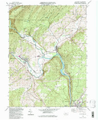
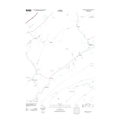
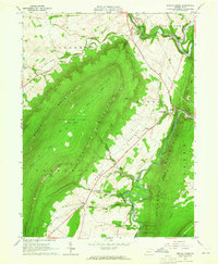 1963 Spruce Creek1965 Print · USGSBlair and Huntingdon counties in the early sixties show a landscape shaped by narrow valleys and the legacy of the iron industry. Genealogists and historians can trace the foundations of Etna Furnace, locate the St John Cem, and follow the old rail lines through Union Furnace.4 unique versions available
 - 1963 Map of Tyrone, 1965 Print
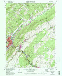
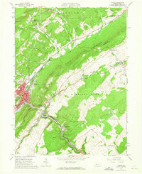 1963 Tyrone1965 Print · USGSIn the early 1960s, the industrial corridor along the Little Juniata River was a hub of transit and production. Trace the rail lines and old roads through Tyrone, Warriors Mark, and Birmingham, or locate family landmarks like Baughman Cem and Grier Sch.4 unique versions available
 - 1963 Map of Franklinville, 1965 Print
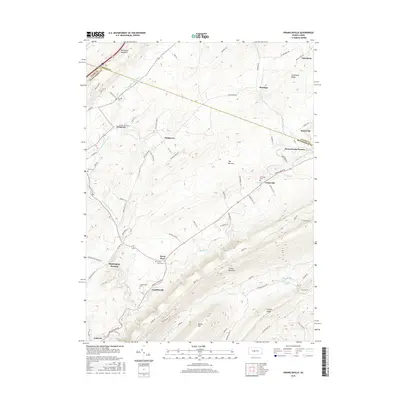
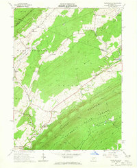 1963 Franklinville1965 Print · USGSCentral Pennsylvania’s industrial and agricultural valleys are captured here in the early sixties. Researchers can trace the heritage of Pennsylvania Furnace and locate landmark sites like Indian Caverns and Warriors Mark Airport.3 unique versions available
 - 1964 Map of Pittsburgh
 1964 Pittsburgh1964 Print · USGSWestern Pennsylvania in the late fifties and early sixties shows a landscape of powerful river industries and expanding highways. Genealogists and historians can trace the rail corridors of the Pennsylvania RR through industrial hubs like Johnstown, Altoona, and Nanty Glo.
 - 1984 Map of Tyrone, 1985 Print
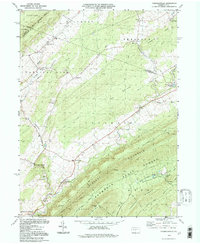
 1984 Tyrone1985 Print · USGSCentral Pennsylvania in the mid-eighties shows a rugged landscape defined by the industry of Altoona and the ridges of the Appalachians. Genealogists and historians can trace the rail corridors of CONRAIL and locate vanished family homes near Glendale Lake or within Sinking Valley.
 - 1994 Map of Franklinville, 1997 Print
 1994 Franklinville1997 Print · USGSThe valleys of Central Pennsylvania near Pennsylvania Furnace and Huntingdon Furnace are captured here in the 1990s. Genealogists and historians can trace old homesteads, rural landmarks like Indian Caverns, and the Old Halfmoon Railroad Grade.
 - 1994 Map of Tyrone, 1997 Print
 1994 Tyrone1997 Print · USGSThe rail and mountain landscape of Blair and Huntingdon counties comes alive in this mid-nineties survey of a vital Pennsylvania corridor. Researchers can trace family history at Eastlawn Cem or locate old industrial hamlets like Tyrone Forge and Ironville.
 - 1994 Map of Alexandria, 1997 Print
 1994 Alexandria1997 Print · USGSHuntingdon County at the close of the twentieth century shows a landscape shaped by the Juniata River. Genealogists can trace local landmarks like Bethel Ch and Lincoln Caverns, or explore the old river towns of Alexandria and Petersburg.
 - 2010 Map of Tyrone, 2010 Print
 2010 Tyrone2010 Print · USGSCovers Spruce Creek Township, including Tyrone, Warriors Mark Township, and other nearby areas
 - 2010 Map of Franklinville, 2010 Print
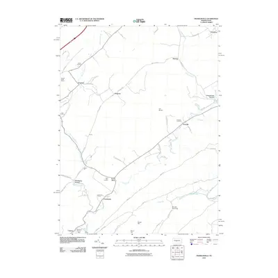 2010 Franklinville2010 Print · USGSCovers Spruce Creek Township, including Warriors Mark Township, Centre Line, and other nearby areas
 - 2010 Map of Spruce Creek, 2010 Print
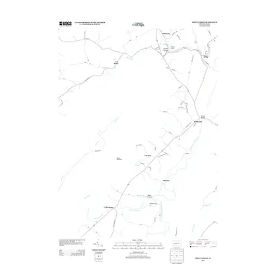
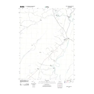 2010 Spruce Creek2010 Print · USGSCovers Spruce Creek Township, including Frankstown Township, Mount Etna, and other nearby areas
 - 2013 Map of Franklinville, 2013 Print
 2013 Franklinville2013 Print · USGSCovers Spruce Creek Township, including Warriors Mark Township, Centre Line, and other nearby areas
 - 2013 Map of Tyrone, 2013 Print
 2013 Tyrone2013 Print · USGSCovers Spruce Creek Township, including Tyrone, Warriors Mark Township, and other nearby areas
 - 2013 Map of Spruce Creek, 2013 Print
 2013 Spruce Creek2013 Print · USGSCovers Spruce Creek Township, including Frankstown Township, Mount Etna, and other nearby areas
 - 2016 Map of Tyrone, 2016 Print
 2016 Tyrone2016 Print · USGSCovers Spruce Creek Township, including Tyrone, Warriors Mark Township, and other nearby areas
 - 2016 Map of Franklinville, 2016 Print
 2016 Franklinville2016 Print · USGSCovers Spruce Creek Township, including Warriors Mark Township, Centre Line, and other nearby areas
Showing maps 1-25 of 33
Top cities near Spruce Creek Township
- Frankstown Township historical maps
- Huntingdon historical maps
- Tyrone historical maps
- Bellwood historical maps
- Warriors Mark Township historical maps
- Williamsburg historical maps
See more
Top neighborhoods of Spruce Creek Township
Frequently asked questions
- What are the different types of historical maps available for Spruce Creek Township?
- What is the oldest map of Spruce Creek Township?
- Where can I purchase historical maps of Spruce Creek Township for my home or office?
- Where can I download high-res historical maps of Spruce Creek Township?
- Are there historical topographic maps available for Spruce Creek Township?
- Is there historical aerial imagery available for Spruce Creek Township?
- Where are historical maps of Spruce Creek Township sourced from?