Old Maps of East Wheatfield Township, Pennsylvania
Explore 26 old maps of East Wheatfield Township, spanning from 1904 to today. These high-resolution historic maps reveal how streets, neighborhoods, landmarks, and natural features evolved over time — perfect for genealogy, metal detecting, research, and local history exploration.
What you can do with these maps:
- See how East Wheatfield Township changed over time: Compare historical maps to modern-day views to trace roads, homesites, rail lines & more.
- View detailed metadata: Each map includes creators, publishers, year, scale, and archive source.
- Overlay maps with satellite & LiDAR: Visualize the past alongside modern tools to explore terrain & human change.
- Trusted historical sources: Maps sourced from the USGS, Library of Congress, and other archives.
- Access maps your way: View online, download high-res files, or order prints for personal or research use.
Start exploring old maps of East Wheatfield Township to uncover forgotten places, hidden landmarks, and the deep history beneath your feet.
East Wheatfield Township, PA maps
(26)- 1904 Map of Johnstown, 1954 Print
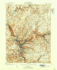 1904 Johnstown1954 Print · USGSJohnstown and the Cambria County coalfields are shown in detail during their industrial peak in the early twentieth century. Researchers can trace ancestral neighborhoods like Morrellville and Franklin, or locate historic landmarks such as the Old Portage RR Tunnel and Grandview Cemetery.2 unique versions available
 - 1907 Map of Johnstown
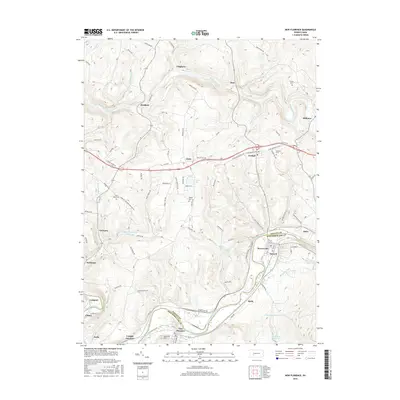
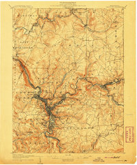 1907 Johnstown1907 Print · USGSJohnstown and the surrounding coal valleys are captured here at the height of their industrial expansion in the early twentieth century. Researchers can trace the path of the Pennsylvania RR and find vanished local landmarks like Expedit PO and the Old Portage RR Tunnel.6 unique versions available
 - 1920 Map of New Florence, 1958 Print
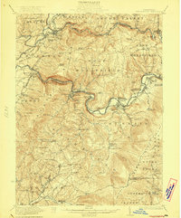
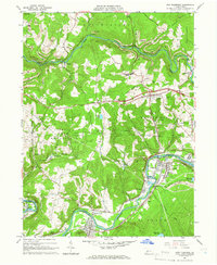
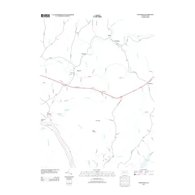
 1920 New Florence1958 Print · USGSThe Conemaugh River valley at the dawn of the 1920s shows a landscape defined by the PENNSYLVANIA RR and industrial coal towns. Genealogists can locate family homesteads near dozens of named country schools like Wallace School or trace the old Lincoln Highway through Armagh.
 - 1921 Map of New Florence
 1921 New Florence1921 Print · USGSWestmoreland and Indiana counties are captured in the early 1920s as industrial rail corridors and the Lincoln Highway begin to modernize the rural landscape. Genealogists can locate family landmarks like Campbell's Mill, the Centerville Huff PO, and several country schools including Robbs School.
 - 1922 Map of New Florence
 1922 New Florence1922 Print · USGSWestern Pennsylvania in the early 1920s shows a landscape of river-carved ridges and busy rail corridors connecting coal and quarry towns. Genealogists can trace family footprints across dozens of rural schools and stations like Lockport Station, Centerville (Huff PO), and Grafton.5 unique versions available
 - 1944 Map of New Florence
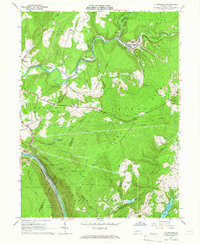
 1944 New Florence1944 Print · USGSWestmoreland and Indiana counties during the wartime years reveal a landscape shaped by coal, steam, and rail. Genealogists can trace family footprints in vanished settlements and school districts like Robindale Smokeless PO, Scottglen Sta, and Mahan Sch.
 - 1953 Map of Pittsburgh
 1953 Pittsburgh1953 Print · USGSWestern Pennsylvania's industrial landscape at the start of the fifties shows the steel and rail corridors between Pittsburgh and Altoona. Trace family roots in river towns like Tarentum or follow the Pennsylvania Turnpike across Laurel Hill.
 - 1954 Map of Pittsburgh
 1954 Pittsburgh1954 Print · USGSWestern Pennsylvania in the early fifties remains a powerhouse of heavy industry and vital transit corridors. Genealogists and historians can trace the rail-and-river network connecting Pittsburgh, Johnstown, and Altoona via the Pennsylvania RR and the Lincoln Highway.2 unique versions available
 - 1958 Map of Pittsburgh
 1958 Pittsburgh1958 Print · USGSWestern Pennsylvania in the late fifties shows an industrial heartland defined by the confluence of the Allegheny River and Monongahela River. Researchers can trace the sprawling rail networks of the Pennsylvania RR and find established towns like Butler, Latrobe, and Windber.5 unique versions available
 - 1959 Map of Pittsburgh
 1959 Pittsburgh1959 Print · USGSWestern Pennsylvania in the late fifties is captured here at the height of its industrial era. Genealogists and historians can trace the riverfront growth of Pittsburgh, the rail works at Altoona, and the mountain gaps of Laurel Hill.
 - 1964 Map of Pittsburgh
 1964 Pittsburgh1964 Print · USGSWestern Pennsylvania in the late fifties and early sixties shows a landscape of powerful river industries and expanding highways. Genealogists and historians can trace the rail corridors of the Pennsylvania RR through industrial hubs like Johnstown, Altoona, and Nanty Glo.
 - 1964 Map of New Florence, 1966 Print
 1964 New Florence1966 Print · USGSThe Indiana and Westmoreland county line was a hub of mining and rail activity in the mid-sixties. Genealogists and local researchers can trace the rail corridor from New Florence to Conpitt Junction or locate family sites near St Marys Cem and Seward.6 unique versions available
 - 1964 Map of Vintondale, 1966 Print
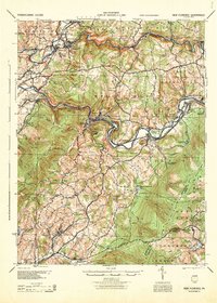
 1964 Vintondale1966 Print · USGSCambria and Indiana counties were defined by the coal and rail industries during the early sixties. Genealogists can trace family roots through the settlements of Vintondale and Dilltown, or locate landmarks like the Delano Sch and Wehrum Mine Dump.3 unique versions available
 - 1981 Map of Johnstown, 1983 Print
 1981 Johnstown1983 Print · USGSSouth Central Pennsylvania is captured here in the early eighties, from the industrial heart of the Conemaugh Valley to the ridges of the Allegheny Front. Local historians can trace the rail corridors of Conrail and the growth of mountain communities like Ebensburg, Nanty Glo, and Windber.
 - 1986 Map of Pittsburgh East
 1986 Pittsburgh East1986 Print · USGSWestern Pennsylvania in the mid-eighties shows a landscape defined by industrial rivers and rising mountain ridges. Trace the dense rail networks of CONRAIL and the Pittsburgh and Lake Erie RR connecting historic centers like Monessen, Jeannette, and Connellsville.3 unique versions available
 - 1998 Map of Vintondale, 1999 Print
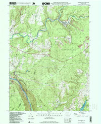 1998 Vintondale1999 Print · USGSIn the late nineties, the area around Vintondale and Wehrum remains defined by its deep mining heritage and the winding Blacklick Creek. Genealogists and historians can locate family landmarks like Memorial Ch and Delano Sch, or trace the old CONRAIL line and the Gallitzin Trail.
 - 2010 Map of Vintondale, 2010 Print
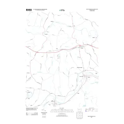
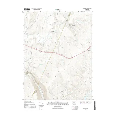
 2010 Vintondale2010 Print · USGSCovers East Wheatfield Township, including Vintondale, Cramer, and other nearby areas
 - 2010 Map of New Florence, 2010 Print
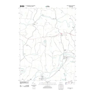 2010 New Florence2010 Print · USGSCovers East Wheatfield Township, including Brush Valley Township, New Florence, and other nearby areas
 - 2013 Map of Vintondale, 2013 Print
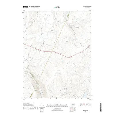
 2013 Vintondale2013 Print · USGSCovers East Wheatfield Township, including Vintondale, Cramer, and other nearby areas
 - 2013 Map of New Florence, 2013 Print
 2013 New Florence2013 Print · USGSCovers East Wheatfield Township, including Brush Valley Township, New Florence, and other nearby areas
 - 2016 Map of New Florence, 2016 Print
 2016 New Florence2016 Print · USGSCovers East Wheatfield Township, including Brush Valley Township, New Florence, and other nearby areas
 - 2016 Map of Vintondale, 2016 Print
 2016 Vintondale2016 Print · USGSCovers East Wheatfield Township, including Vintondale, Cramer, and other nearby areas
 - 2019 Map of Vintondale, 2019 Print
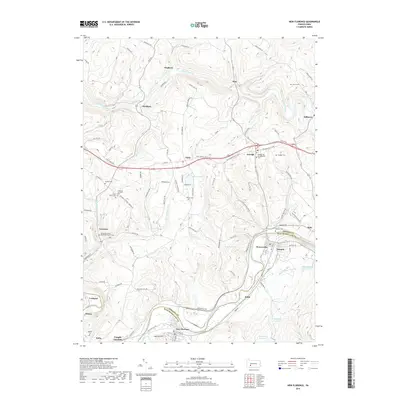
 2019 Vintondale2019 Print · USGSCovers East Wheatfield Township, including Vintondale, Cramer, and other nearby areas
 - 2019 Map of New Florence, 2019 Print
 2019 New Florence2019 Print · USGSCovers East Wheatfield Township, including Brush Valley Township, New Florence, and other nearby areas
 - 2023 Map of Vintondale, 2023 Print
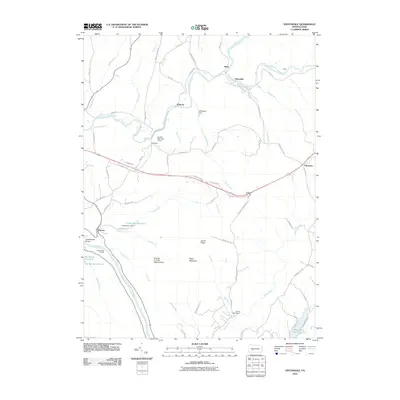
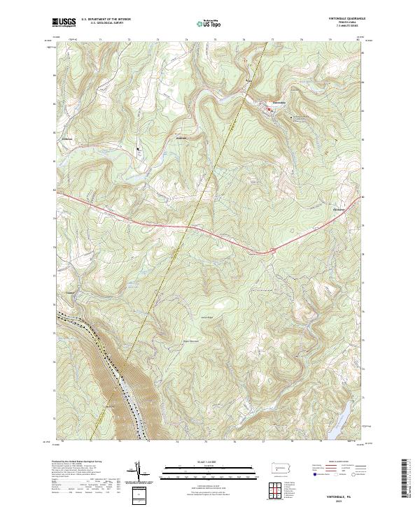 2023 Vintondale2023 Print · USGSThis survey captures the heart of Pennsylvania coal country as it appears today, spanning the intersections of Cambria, Indiana, and Westmoreland counties. Genealogists and hikers can trace the Ghost Town Trail through Vintondale or locate the Black Lick Cemetery.
Showing maps 1-25 of 26
Top cities near East Wheatfield Township
- Johnstown historical maps
- Indiana historical maps
- Franklin historical maps
- Westmont historical maps
- Windber historical maps
- Northern Cambria historical maps
See more
Top neighborhoods of East Wheatfield Township
- Boltz historical maps
- Dilltown historical maps
- Robindale Heights historical maps
- Cramer historical maps
Frequently asked questions
- What are the different types of historical maps available for East Wheatfield Township?
- What is the oldest map of East Wheatfield Township?
- Where can I purchase historical maps of East Wheatfield Township for my home or office?
- Where can I download high-res historical maps of East Wheatfield Township?
- Are there historical topographic maps available for East Wheatfield Township?
- Is there historical aerial imagery available for East Wheatfield Township?
- Where are historical maps of East Wheatfield Township sourced from?