2000s (21st Century) Maps of Beaver Township, Pennsylvania
Explore 10 historic maps of Beaver Township from the 2000s (21st Century). These maps offer a rare glimpse into what life looked like during the 2000s — showing old roads, neighborhoods, homes, and landmarks that have changed or disappeared over time.
Whether you're researching your family's past, planning a metal detecting trip, or studying how Beaver Township's landscape evolved across the 2000s, these high-resolution maps are a powerful tool for exploring the history of this region.
- Focus on a specific era: All maps on this page are from the 2000s, giving you a focused view of this time period.
- See what’s changed: Compare century-old streets, trails, and buildings to today's modern landscape using overlays and satellite layers.
- Research with precision: Use these maps for genealogy, historical research, land use analysis, or educational projects.
- View, download, or print: Maps are fully viewable online in high resolution, and can be downloaded or printed for your own records.
Start exploring Beaver Township's history through authentic maps from the 2000s. This is your window into the past.
Beaver Township, PA maps
(10)- 2010 Map of Summerville, 2010 Print
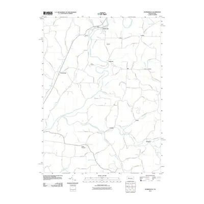 2010 Summerville2010 Print · USGSCovers Beaver Township, including Limestone Township, Ringgold Township, and other nearby areas
 - 2010 Map of Coolspring, 2010 Print
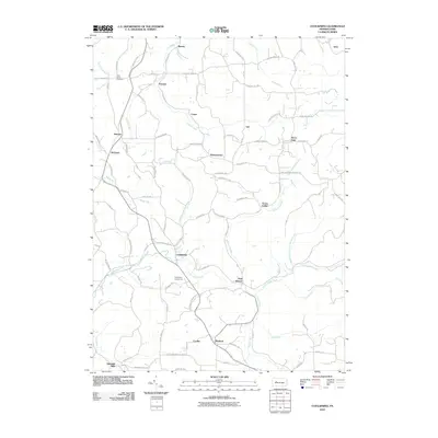 2010 Coolspring2010 Print · USGSCovers Beaver Township, including McCalmont Township, Knox Township, and other nearby areas
 - 2013 Map of Coolspring, 2013 Print
 2013 Coolspring2013 Print · USGSCovers Beaver Township, including McCalmont Township, Knox Township, and other nearby areas
 - 2013 Map of Summerville, 2013 Print
 2013 Summerville2013 Print · USGSCovers Beaver Township, including Limestone Township, Ringgold Township, and other nearby areas
 - 2016 Map of Coolspring, 2016 Print
 2016 Coolspring2016 Print · USGSCovers Beaver Township, including McCalmont Township, Knox Township, and other nearby areas
 - 2016 Map of Summerville, 2016 Print
 2016 Summerville2016 Print · USGSCovers Beaver Township, including Limestone Township, Ringgold Township, and other nearby areas
 - 2019 Map of Coolspring, 2019 Print
 2019 Coolspring2019 Print · USGSCovers Beaver Township, including McCalmont Township, Knox Township, and other nearby areas
 - 2019 Map of Summerville, 2019 Print
 2019 Summerville2019 Print · USGSCovers Beaver Township, including Limestone Township, Ringgold Township, and other nearby areas
 - 2023 Map of Coolspring, 2023 Print
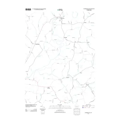
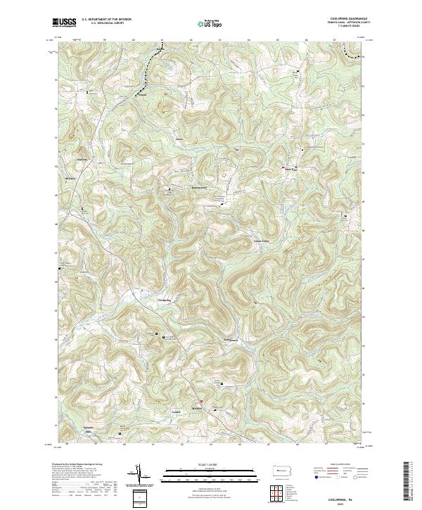 2023 Coolspring2023 Print · USGSJefferson County’s rolling plateau is documented here at the start of the 2020s, showing a landscape of small hamlets and family burial grounds. Genealogists can trace roots at Coolspring Cem, Markton Cem, and Meade Chapel Cem.
 - 2023 Map of Summerville, 2023 Print
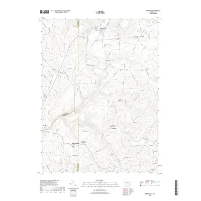
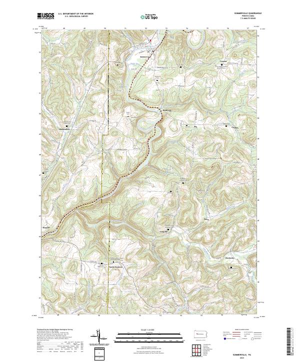 2023 Summerville2023 Print · USGSThis Jefferson County landscape is defined by the winding waters of Redbank Creek and its many tributaries during the early twenty-first century. Genealogists can trace family heritage through numerous rural burial grounds like Smith Cem, Zion Cem, and Shannondale Union Cem.
End of results
Showing maps 1-10 of 10
Top cities near Beaver Township
- Punxsutawney historical maps
- Clarion historical maps
- Brookville historical maps
- Limestone Township historical maps
- Warsaw Township historical maps
- New Bethlehem historical maps
See more
Top neighborhoods of Beaver Township
- Pansy historical maps
- Heathville historical maps
- Langville historical maps
- Ohl historical maps
- Conifer historical maps
Frequently asked questions
- What are the different types of historical maps available for Beaver Township?
- What is the oldest map of Beaver Township?
- Where can I purchase historical maps of Beaver Township for my home or office?
- Where can I download high-res historical maps of Beaver Township?
- Are there historical topographic maps available for Beaver Township?
- Is there historical aerial imagery available for Beaver Township?
- Where are historical maps of Beaver Township sourced from?