2000s (21st Century) Maps of Heath Township, Pennsylvania
Explore 15 historic maps of Heath Township from the 2000s (21st Century). These maps offer a rare glimpse into what life looked like during the 2000s — showing old roads, neighborhoods, homes, and landmarks that have changed or disappeared over time.
Whether you're researching your family's past, planning a metal detecting trip, or studying how Heath Township's landscape evolved across the 2000s, these high-resolution maps are a powerful tool for exploring the history of this region.
- Focus on a specific era: All maps on this page are from the 2000s, giving you a focused view of this time period.
- See what’s changed: Compare century-old streets, trails, and buildings to today's modern landscape using overlays and satellite layers.
- Research with precision: Use these maps for genealogy, historical research, land use analysis, or educational projects.
- View, download, or print: Maps are fully viewable online in high resolution, and can be downloaded or printed for your own records.
Start exploring Heath Township's history through authentic maps from the 2000s. This is your window into the past.
Heath Township, PA maps
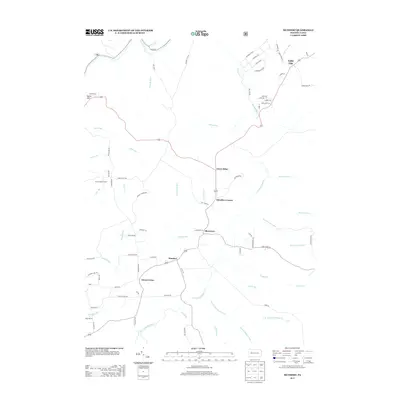
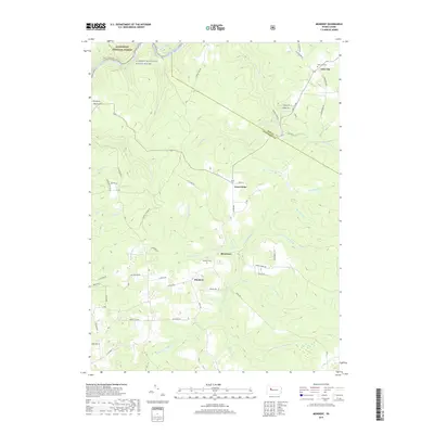
(15)- 2011 Map of Sigel, 2011 Print
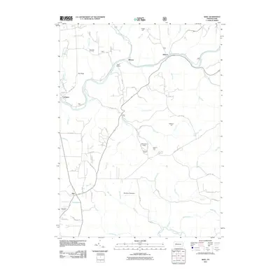 2011 Sigel2011 Print · USGSCovers Heath Township, including Warsaw Township, Millstone Township, and other nearby areas
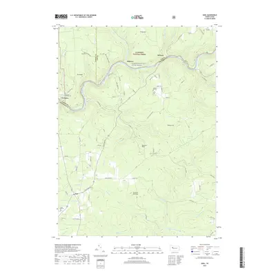
 - 2011 Map of Munderf, 2011 Print
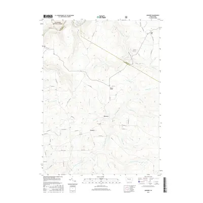
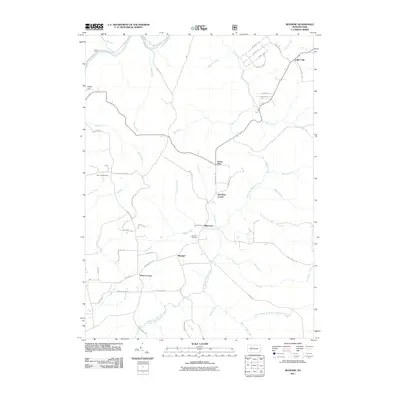 2011 Munderf2011 Print · USGSCovers Heath Township, including Warsaw Township, Millstone Township, and other nearby areas
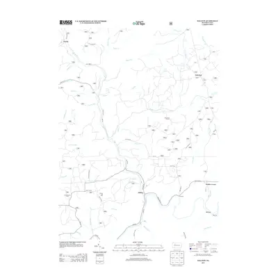
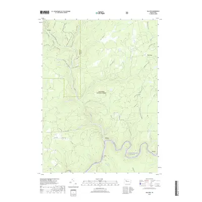
 - 2011 Map of Hallton, 2011 Print
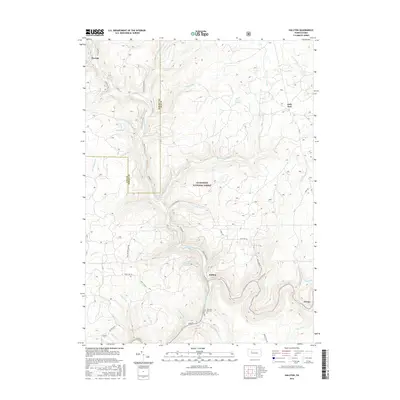
 2011 Hallton2011 Print · USGSCovers Heath Township, including Millstone Township, Spring Creek Township, and other nearby areas
 - 2013 Map of Hallton, 2013 Print
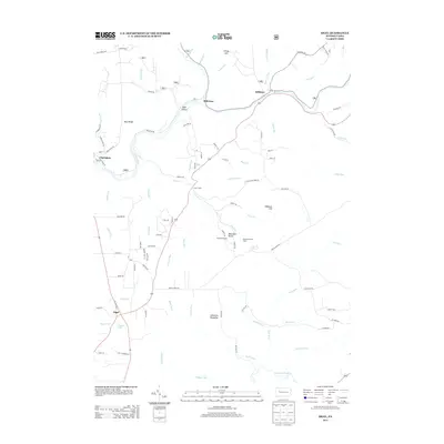
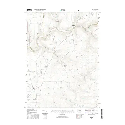
 2013 Hallton2013 Print · USGSCovers Heath Township, including Millstone Township, Spring Creek Township, and other nearby areas
 - 2013 Map of Sigel, 2013 Print
 2013 Sigel2013 Print · USGSCovers Heath Township, including Warsaw Township, Millstone Township, and other nearby areas
 - 2013 Map of Munderf, 2013 Print
 2013 Munderf2013 Print · USGSCovers Heath Township, including Warsaw Township, Millstone Township, and other nearby areas
 - 2016 Map of Munderf, 2016 Print
 2016 Munderf2016 Print · USGSCovers Heath Township, including Warsaw Township, Millstone Township, and other nearby areas
 - 2016 Map of Hallton, 2016 Print
 2016 Hallton2016 Print · USGSCovers Heath Township, including Millstone Township, Spring Creek Township, and other nearby areas
 - 2016 Map of Sigel, 2016 Print
 2016 Sigel2016 Print · USGSCovers Heath Township, including Warsaw Township, Millstone Township, and other nearby areas
 - 2019 Map of Munderf, 2019 Print
 2019 Munderf2019 Print · USGSCovers Heath Township, including Warsaw Township, Millstone Township, and other nearby areas
 - 2019 Map of Hallton, 2019 Print
 2019 Hallton2019 Print · USGSCovers Heath Township, including Millstone Township, Spring Creek Township, and other nearby areas
 - 2019 Map of Sigel, 2019 Print
 2019 Sigel2019 Print · USGSCovers Heath Township, including Warsaw Township, Millstone Township, and other nearby areas
 - 2023 Map of Sigel, 2023 Print
 2023 Sigel2023 Print · USGSJefferson and Forest Counties come together along the river-carved valleys of this modern survey. Genealogists and hikers can trace family names at Edeburn Hill Cem or explore the wooded terrain around Beartown Rocks and Sigel.
 - 2023 Map of Hallton, 2023 Print
 2023 Hallton2023 Print · USGSThe deep river valleys of Elk and Forest counties are documented in this recent survey. Local historians can trace riverside settlements like Hallton and Arroyo, or find old family sites near the Maxwell Run Cem.
 - 2023 Map of Munderf, 2023 Print
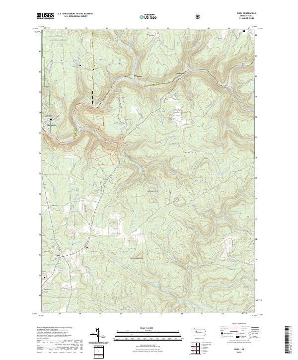
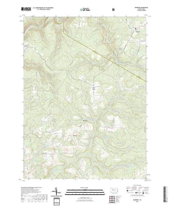 2023 Munderf2023 Print · USGSJefferson County highlands at the start of the 2020s show a landscape of deep valleys and small settlements. Researchers can locate family sites near Munderf Cem, trace the waters of North Fork Redbank Creek, or explore the rural layout of Blowtown.
End of results
Showing maps 1-15 of 15
Top cities near Heath Township
- Sandy Township historical maps
- DuBois historical maps
- Brookville historical maps
- Brockway historical maps
- Limestone Township historical maps
- Warsaw Township historical maps
See more
Frequently asked questions
- What are the different types of historical maps available for Heath Township?
- What is the oldest map of Heath Township?
- Where can I purchase historical maps of Heath Township for my home or office?
- Where can I download high-res historical maps of Heath Township?
- Are there historical topographic maps available for Heath Township?
- Is there historical aerial imagery available for Heath Township?
- Where are historical maps of Heath Township sourced from?