2020s Maps of Oliver Township, Pennsylvania
Explore 4 historic maps of Oliver Township from the 2020s. These maps offer a rare glimpse into what life looked like during the 2020s — showing old roads, neighborhoods, homes, and landmarks that have changed or disappeared over time.
Whether you're researching your family's past, planning a metal detecting trip, or studying how Oliver Township's landscape evolved across the 2020s, these high-resolution maps are a powerful tool for exploring the history of this region.
- Focus on a specific era: All maps on this page are from the 2020s, giving you a focused view of this time period.
- See what’s changed: Compare century-old streets, trails, and buildings to today's modern landscape using overlays and satellite layers.
- Research with precision: Use these maps for genealogy, historical research, land use analysis, or educational projects.
- View, download, or print: Maps are fully viewable online in high resolution, and can be downloaded or printed for your own records.
Start exploring Oliver Township's history through authentic maps from the 2020s. This is your window into the past.
Oliver Township, PA maps
(4)- 2023 Map of Coolspring, 2023 Print
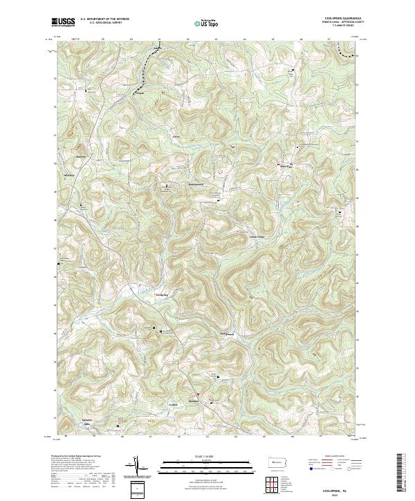 2023 Coolspring2023 Print · USGSJefferson County’s rolling plateau is documented here at the start of the 2020s, showing a landscape of small hamlets and family burial grounds. Genealogists can trace roots at Coolspring Cem, Markton Cem, and Meade Chapel Cem.
 - 2023 Map of Summerville, 2023 Print
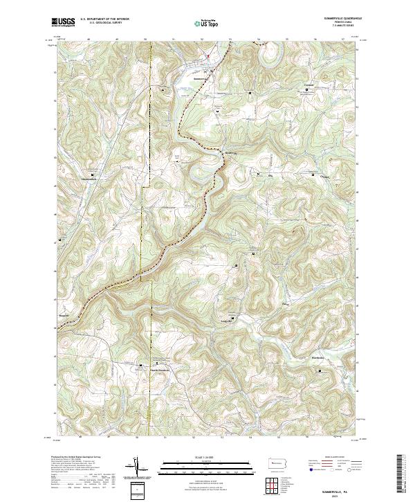 2023 Summerville2023 Print · USGSThis Jefferson County landscape is defined by the winding waters of Redbank Creek and its many tributaries during the early twenty-first century. Genealogists can trace family heritage through numerous rural burial grounds like Smith Cem, Zion Cem, and Shannondale Union Cem.
 - 2023 Map of Dayton, 2023 Print
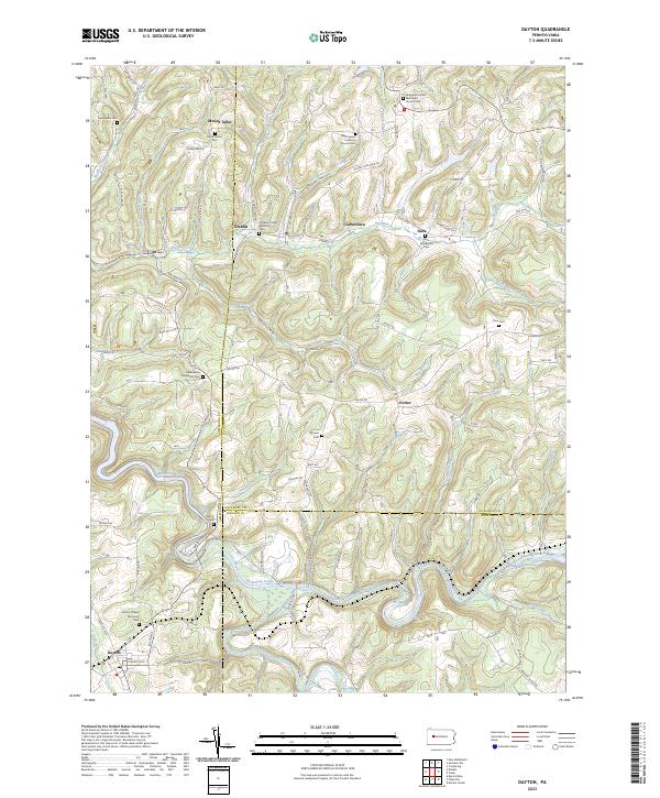 2023 Dayton2023 Print · USGSThe rural borderlands of Armstrong and Jefferson counties are captured here in a detailed contemporary study. Genealogists can trace family legacies at Timblin United Methodist Cem, Zion Cem, and the settlement of Corbettown.
 - 2023 Map of Valier, 2023 Print
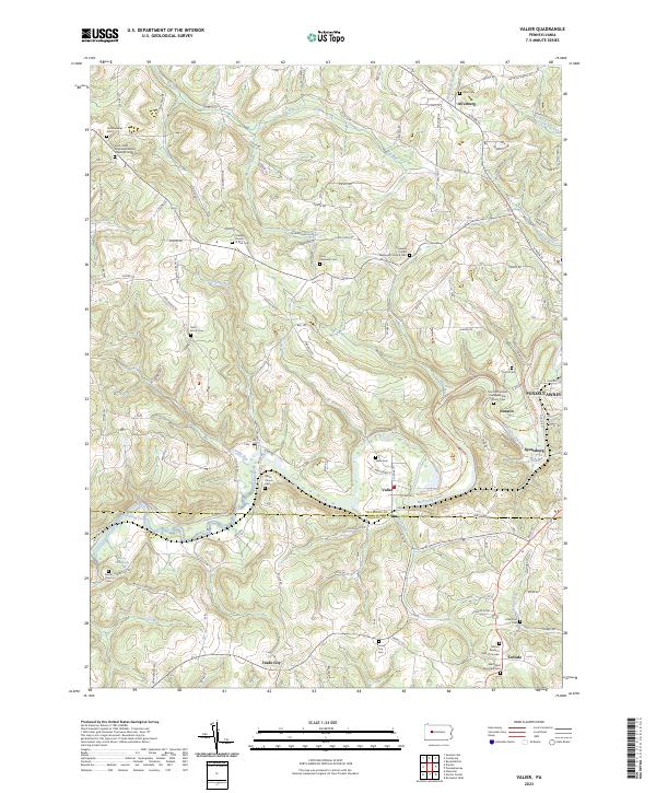 2023 Valier2023 Print · USGSJefferson and Indiana counties meet along the waters of the Mahoning Creek in this contemporary record of Pennsylvania's coal and farming country. Genealogists can trace family names and burial sites at the White Church Cem or the Mount Pleasant Cem of Covode.
End of results
Showing maps 1-4 of 4
Top cities near Oliver Township
- Punxsutawney historical maps
- Brookville historical maps
- Winslow historical maps
- Reynoldsville historical maps
- Limestone Township historical maps
- Warsaw Township historical maps
See more
Top neighborhoods of Oliver Township
- Coolspring historical maps
- Oliveburg historical maps
- Coulter historical maps
- East Branch historical maps
- Markton historical maps
- Sprankle Mills historical maps
Frequently asked questions
- What are the different types of historical maps available for Oliver Township?
- What is the oldest map of Oliver Township?
- Where can I purchase historical maps of Oliver Township for my home or office?
- Where can I download high-res historical maps of Oliver Township?
- Are there historical topographic maps available for Oliver Township?
- Is there historical aerial imagery available for Oliver Township?
- Where are historical maps of Oliver Township sourced from?