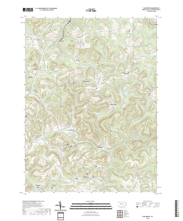
2023 Map of Coolspring
USGS Topo · Published 2023About this map
Coolspring and the surrounding rural uplands of Jefferson County are characterized by a dense network of country cemeteries and small settlements. The landscape is defined by the winding course of Little Sandy Creek and its tributaries, including Middle Branch Little Sandy Creek and Hickok Run. This area preserves the spatial layout of 19th-century church-centered communities, such as Saint Matthews Evangelical Lutheran Cem and Saint Pauls Lutheran Cem, which served the local farming and mining families. To the south, Markton and Sprankle Mills sit at the edge of the plateau, while the northern terrain is marked by prominent elevations like Baughman Hill. The map provides a clear record of the rural road network, with corridors like Pump Station Rd and Ramsaytown Rd connecting the scattered hamlets of Knox Dale, Tait, and Norman.
Find a feature on this map
75 named features on this map. Tap any name to fly to it.
Don’t see what you’re looking for? This feature index may not catch every label — zoom into the map to look around manually.
Map Details
Editions of this 2023 Coolspring Map
This is the sole edition of this map. No revisions or reprints were ever made.
Other maps of this area

1906 · Punxsutawney
USGS Topo · 1:62,500

1909 · Smicksburg
USGS Topo · 1:62,500

1922 · Du Bois
USGS Topo · 1:62,500

1924 · Du Bois
USGS Topo · 1:62,500

1924 · Brookville
USGS Topo · 1:62,500

1926 · Brookville
USGS Topo · 1:62,500

1938 · Smicksburg
USGS Topo · 1:62,500

1939 · Smicksburg
USGS Topo · 1:62,500

1939 · Punxsutawney
USGS Topo · 1:62,500

1942 · Punxsutawney
USGS Topo · 1:62,500
Featured Places
- McCalmont Township, PA
- Sprankle Mills, Oliver Township
- Beaver Township, PA
- Knox Township, PA
- Pine Creek Township, PA