Old Maps of Winslow Township, Pennsylvania
Explore 32 old maps of Winslow Township, spanning from 1922 to today. These high-resolution historic maps reveal how streets, neighborhoods, landmarks, and natural features evolved over time — perfect for genealogy, metal detecting, research, and local history exploration.
What you can do with these maps:
- See how Winslow Township changed over time: Compare historical maps to modern-day views to trace roads, homesites, rail lines & more.
- View detailed metadata: Each map includes creators, publishers, year, scale, and archive source.
- Overlay maps with satellite & LiDAR: Visualize the past alongside modern tools to explore terrain & human change.
- Trusted historical sources: Maps sourced from the USGS, Library of Congress, and other archives.
- Access maps your way: View online, download high-res files, or order prints for personal or research use.
Start exploring old maps of Winslow Township to uncover forgotten places, hidden landmarks, and the deep history beneath your feet.
Winslow Township, PA maps
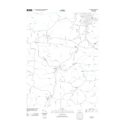
(32)- 1922 Map of Du Bois, 1957 Print
 1922 Du Bois1957 Print · USGSJefferson and Clearfield Counties are shown during the height of the region's mining and rail era in the early twenties. Genealogists and researchers can trace family lands near Eleanora Mines, rural schools like Mason School, and stops along the Pittsburg and Shawmut railroad.2 unique versions available
 - 1924 Map of Du Bois
 1924 Du Bois1924 Print · USGSJefferson and Clearfield Counties were at the heart of the Pennsylvania coal and rail economy in the early twenties. Genealogists and historians can trace dozens of small settlements and local schoolhouses like Allens Mills, Soldier PO, and the Beechwoods School.5 unique versions available
 - 1944 Map of Du Bois
 1944 Du Bois1944 Print · USGSJefferson and Clearfield counties are shown during the height of their industrial era in the 1940s. Genealogists can locate family-named landmarks like Groves Sch or McAninch Sch and trace the operations at Eleanora Mines.
 - 1957 Map of Warren, 1964 Print
 1957 Warren1964 Print · USGSThe northern Pennsylvania oil and timber country comes into focus in the mid-fifties, showing the region before modern highway expansions. Trace the industrial rail networks of the Pennsylvania RR and the early Allegheny River Reservoir near Warren and Oil City.4 unique versions available
 - 1958 Map of Warren
 1958 Warren1958 Print · USGSNorthern Pennsylvania’s timber and oil country is captured here during the late fifties, showing the interplay of industrial valleys and vast state forests. Genealogists can trace family connections across the Cornplanter Indian Reservation or through rail hubs like Oil City and Saint Marys.
 - 1959 Map of Warren
 1959 Warren1959 Print · USGSNorthern Pennsylvania's oil and timber country comes alive in this late-fifties study of the forest-clad plateaus. Trace the historic Cornplanter (Indian Reservation), the sprawling Oil Field, and the rail lines of the Pennsylvania RR.2 unique versions available
 - 1966 Map of Falls Creek, 1968 Print
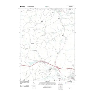
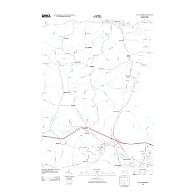
 1966 Falls Creek1968 Print · USGSThe northern Pennsylvania coalfields and rail corridors are captured in the mid-1960s as industry shaped the landscape. Trace local heritage at Wildwood Cem, the old Adrian Furnace, and rail junctions like Erie Junction.5 unique versions available
 - 1966 Map of Hazen, 1968 Print
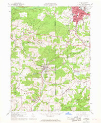
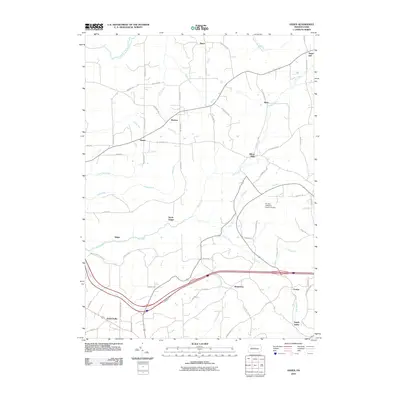
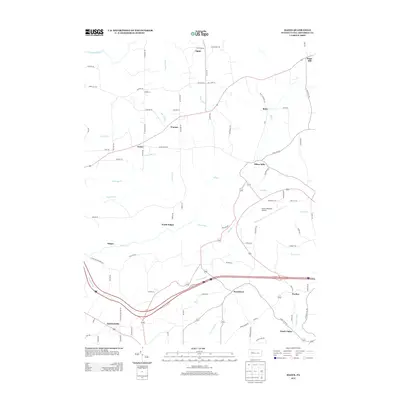
 1966 Hazen1968 Print · USGSJefferson County’s coal and rail landscape is captured here in the mid-1960s, showing a region defined by industrial extraction and small rural hamlets. Genealogists and local historians can trace family roots through sites like Warsaw Sch, Sugar Hill Station, and the rural community of Hormtown.4 unique versions available
 - 1966 Map of Du Bois, 1968 Print
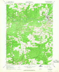
 1966 Du Bois1968 Print · USGSThe Jefferson County coalfields are captured in the mid-1960s, showing a landscape defined by surface mining and rail transit. Researchers can trace the legacy of mining towns from Sykesville to Rathmel and locate family burial sites at Rumbarger Cem or Prospect Cem.6 unique versions available
 - 1966 Map of Reynoldsville, 1968 Print
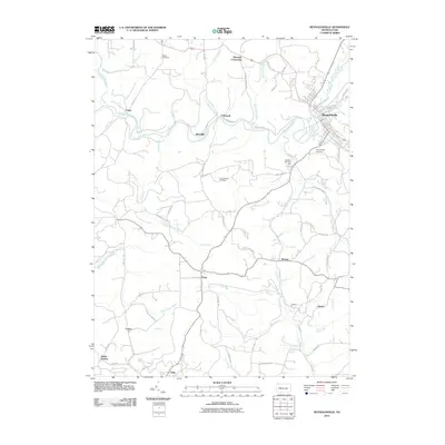
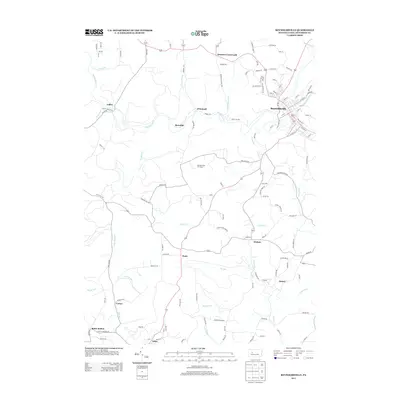
 1966 Reynoldsville1968 Print · USGSJefferson County mining communities thrive during the late sixties as rail lines connect rural outposts. Genealogists can trace family names at St Marys Cem, identify the streets of Reynoldsville, or locate the Tipple Mine near Panic.4 unique versions available
 - 1971 Map of Warren
 1971 Warren1971 Print · USGSNorth Central Pennsylvania is captured here in the early seventies, showing a landscape defined by industrial centers and massive state forests. Genealogists and historians can trace the rail lines of the Penn Central and Erie Lackawanna connecting towns like Warren, Kane, and Du Bois.
 - 1983 Map of Clearfield, 1984 Print
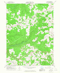
 1983 Clearfield1984 Print · USGSPennsylvania's coal and timber heartland is captured in the early eighties as industrial hubs like Du Bois and Saint Marys thrived among the state forests. Genealogists can locate family landmarks like Morningside Cemetery, the old works at Dagus Mines, and the rural community of Byrnedale.
 - 2010 Map of Du Bois, 2010 Print
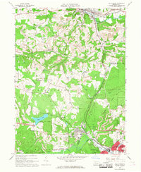
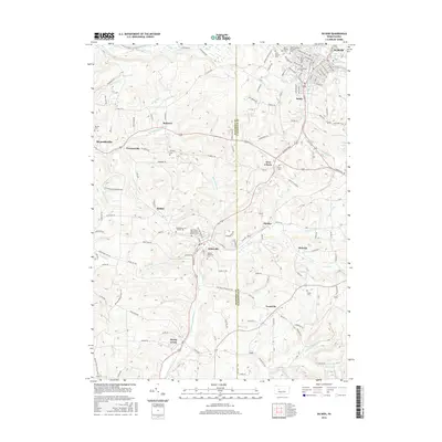
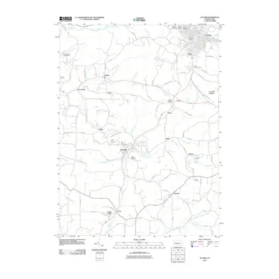 2010 Du Bois2010 Print · USGSCovers Winslow Township, including Sandy Township, DuBois, and other nearby areas
 - 2010 Map of Reynoldsville, 2010 Print
 2010 Reynoldsville2010 Print · USGSCovers Winslow Township, including Reynoldsville, McCalmont Township, and other nearby areas
 - 2010 Map of Falls Creek, 2010 Print
 2010 Falls Creek2010 Print · USGSCovers Winslow Township, including Sandy Township, DuBois, and other nearby areas
 - 2010 Map of Hazen, 2010 Print
 2010 Hazen2010 Print · USGSCovers Winslow Township, including Warsaw Township, Pine Creek Township, and other nearby areas
 - 2013 Map of Du Bois, 2013 Print
 2013 Du Bois2013 Print · USGSCovers Winslow Township, including Sandy Township, DuBois, and other nearby areas
 - 2013 Map of Hazen, 2013 Print
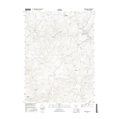
 2013 Hazen2013 Print · USGSCovers Winslow Township, including Warsaw Township, Pine Creek Township, and other nearby areas
 - 2013 Map of Falls Creek, 2013 Print
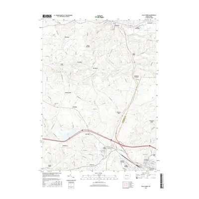
 2013 Falls Creek2013 Print · USGSCovers Winslow Township, including Sandy Township, DuBois, and other nearby areas
 - 2013 Map of Reynoldsville, 2013 Print
 2013 Reynoldsville2013 Print · USGSCovers Winslow Township, including Reynoldsville, McCalmont Township, and other nearby areas
 - 2016 Map of Du Bois, 2016 Print
 2016 Du Bois2016 Print · USGSCovers Winslow Township, including Sandy Township, DuBois, and other nearby areas
 - 2016 Map of Reynoldsville, 2016 Print
 2016 Reynoldsville2016 Print · USGSCovers Winslow Township, including Reynoldsville, McCalmont Township, and other nearby areas
 - 2016 Map of Hazen, 2016 Print
 2016 Hazen2016 Print · USGSCovers Winslow Township, including Warsaw Township, Pine Creek Township, and other nearby areas
 - 2016 Map of Falls Creek, 2016 Print
 2016 Falls Creek2016 Print · USGSCovers Winslow Township, including Sandy Township, DuBois, and other nearby areas
 - 2019 Map of Hazen, 2019 Print
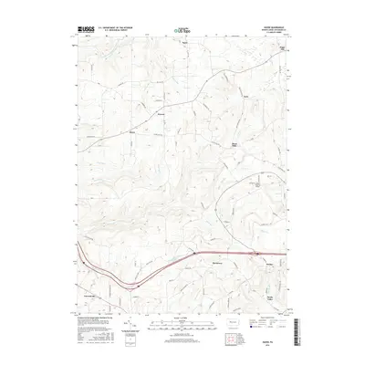
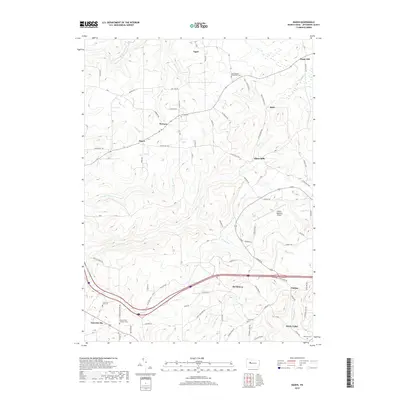 2019 Hazen2019 Print · USGSCovers Winslow Township, including Warsaw Township, Pine Creek Township, and other nearby areas
Showing maps 1-25 of 32
Top cities near Winslow Township
- Sandy Township historical maps
- DuBois historical maps
- Punxsutawney historical maps
- Brookville historical maps
- Winslow historical maps
- Reynoldsville historical maps
See more
Top neighborhoods of Winslow Township
- Sandy Valley historical maps
- Murray Summit historical maps
- O'Donnell historical maps
- Rathmel historical maps
- Prescottville historical maps
- Soldier historical maps
See more
Frequently asked questions
- What are the different types of historical maps available for Winslow Township?
- What is the oldest map of Winslow Township?
- Where can I purchase historical maps of Winslow Township for my home or office?
- Where can I download high-res historical maps of Winslow Township?
- Are there historical topographic maps available for Winslow Township?
- Is there historical aerial imagery available for Winslow Township?
- Where are historical maps of Winslow Township sourced from?