2000s (21st Century) Maps of Winslow Township, Pennsylvania
Explore 20 historic maps of Winslow Township from the 2000s (21st Century). These maps offer a rare glimpse into what life looked like during the 2000s — showing old roads, neighborhoods, homes, and landmarks that have changed or disappeared over time.
Whether you're researching your family's past, planning a metal detecting trip, or studying how Winslow Township's landscape evolved across the 2000s, these high-resolution maps are a powerful tool for exploring the history of this region.
- Focus on a specific era: All maps on this page are from the 2000s, giving you a focused view of this time period.
- See what’s changed: Compare century-old streets, trails, and buildings to today's modern landscape using overlays and satellite layers.
- Research with precision: Use these maps for genealogy, historical research, land use analysis, or educational projects.
- View, download, or print: Maps are fully viewable online in high resolution, and can be downloaded or printed for your own records.
Start exploring Winslow Township's history through authentic maps from the 2000s. This is your window into the past.
Winslow Township, PA maps
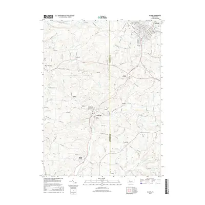
(20)- 2010 Map of Du Bois, 2010 Print
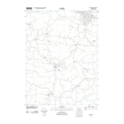 2010 Du Bois2010 Print · USGSCovers Winslow Township, including Sandy Township, DuBois, and other nearby areas
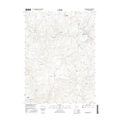
 - 2010 Map of Reynoldsville, 2010 Print
 2010 Reynoldsville2010 Print · USGSCovers Winslow Township, including Reynoldsville, McCalmont Township, and other nearby areas
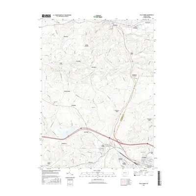
 - 2010 Map of Falls Creek, 2010 Print
 2010 Falls Creek2010 Print · USGSCovers Winslow Township, including Sandy Township, DuBois, and other nearby areas
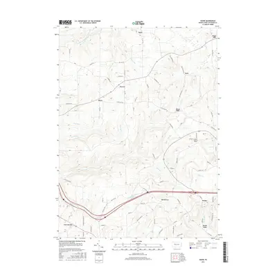
 - 2010 Map of Hazen, 2010 Print
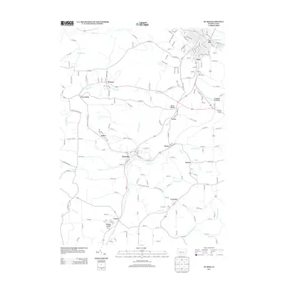
 2010 Hazen2010 Print · USGSCovers Winslow Township, including Warsaw Township, Pine Creek Township, and other nearby areas
 - 2013 Map of Du Bois, 2013 Print
 2013 Du Bois2013 Print · USGSCovers Winslow Township, including Sandy Township, DuBois, and other nearby areas
 - 2013 Map of Hazen, 2013 Print
 2013 Hazen2013 Print · USGSCovers Winslow Township, including Warsaw Township, Pine Creek Township, and other nearby areas
 - 2013 Map of Falls Creek, 2013 Print
 2013 Falls Creek2013 Print · USGSCovers Winslow Township, including Sandy Township, DuBois, and other nearby areas
 - 2013 Map of Reynoldsville, 2013 Print
 2013 Reynoldsville2013 Print · USGSCovers Winslow Township, including Reynoldsville, McCalmont Township, and other nearby areas
 - 2016 Map of Du Bois, 2016 Print
 2016 Du Bois2016 Print · USGSCovers Winslow Township, including Sandy Township, DuBois, and other nearby areas
 - 2016 Map of Reynoldsville, 2016 Print
 2016 Reynoldsville2016 Print · USGSCovers Winslow Township, including Reynoldsville, McCalmont Township, and other nearby areas
 - 2016 Map of Hazen, 2016 Print
 2016 Hazen2016 Print · USGSCovers Winslow Township, including Warsaw Township, Pine Creek Township, and other nearby areas
 - 2016 Map of Falls Creek, 2016 Print
 2016 Falls Creek2016 Print · USGSCovers Winslow Township, including Sandy Township, DuBois, and other nearby areas
 - 2019 Map of Hazen, 2019 Print
 2019 Hazen2019 Print · USGSCovers Winslow Township, including Warsaw Township, Pine Creek Township, and other nearby areas
 - 2019 Map of Reynoldsville, 2019 Print
 2019 Reynoldsville2019 Print · USGSCovers Winslow Township, including Reynoldsville, McCalmont Township, and other nearby areas
 - 2019 Map of Du Bois, 2019 Print
 2019 Du Bois2019 Print · USGSCovers Winslow Township, including Sandy Township, DuBois, and other nearby areas
 - 2019 Map of Falls Creek, 2019 Print
 2019 Falls Creek2019 Print · USGSCovers Winslow Township, including Sandy Township, DuBois, and other nearby areas
 - 2023 Map of Reynoldsville, 2023 Print
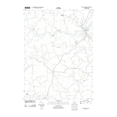
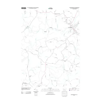
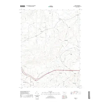
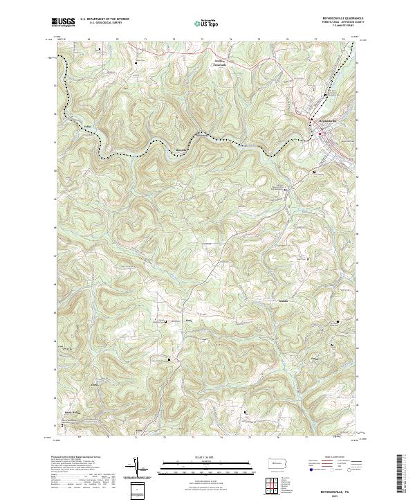 2023 Reynoldsville2023 Print · USGSReynoldsville and its surrounding Jefferson County uplands are documented here in the early twenty-first century. Researchers can locate numerous rural burial sites and hamlets like Desire, Panic, and Fuller, or trace the winding course of Sandy Lick Creek.
 - 2023 Map of Du Bois, 2023 Print
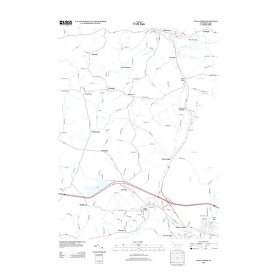
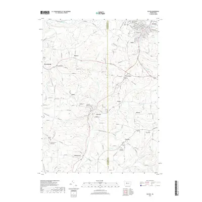
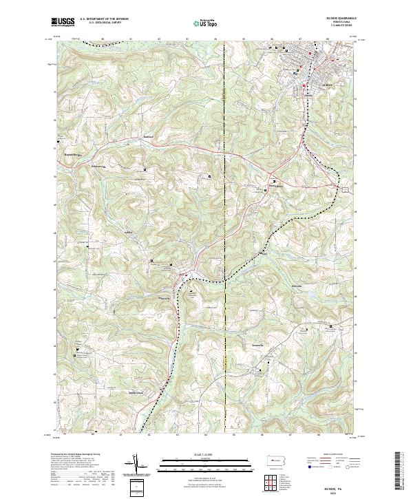 2023 Du Bois2023 Print · USGSJefferson and Clearfield counties meet in this detailed survey of the DuBois area and its surrounding coal-country hamlets. Genealogists can trace family roots through numerous sites like Sykesville Memorial Cem, Soldier Hill, and the historic streets of DuBois.
 - 2023 Map of Falls Creek, 2023 Print
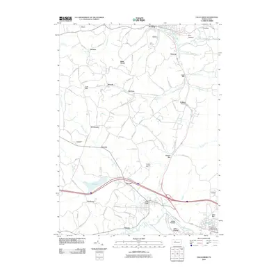
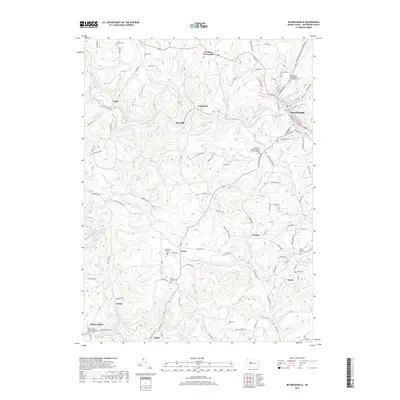
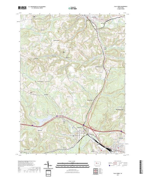 2023 Falls Creek2023 Print · USGSThe Jefferson and Clearfield County border comes alive in this contemporary survey of the high plateau and valley floors. Genealogists and historians can trace the legacy of industrial sites like Adrian Furnace and quiet burial grounds such as Beechtree Cem.
 - 2023 Map of Hazen, 2023 Print
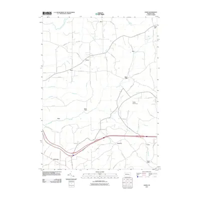
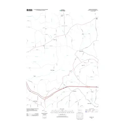
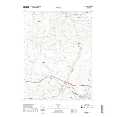
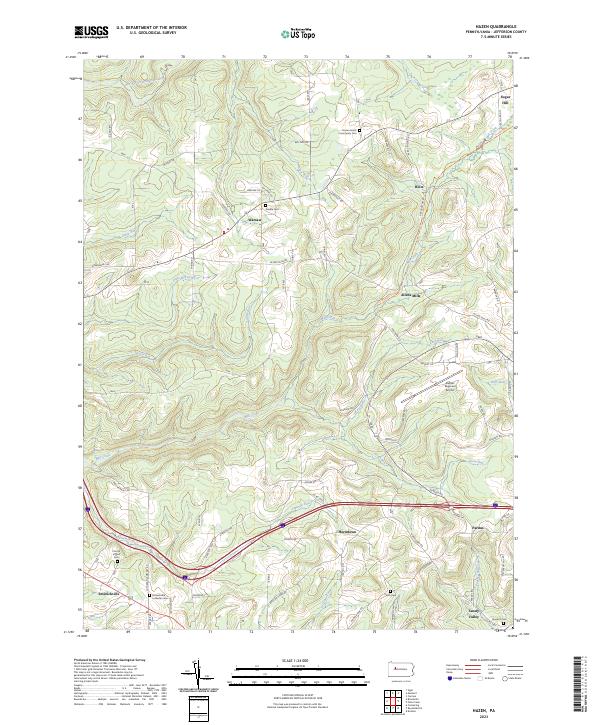 2023 Hazen2023 Print · USGSJefferson County’s rural highlands come into focus in this contemporary survey, where long-standing family settlements meet modern regional infrastructure. You can trace early burial grounds like Smith Cem and Epworth Cem or follow the path of Fivemile Run as it winds past Emerickville.
End of results
Showing maps 1-20 of 20
Top cities near Winslow Township
- Sandy Township historical maps
- DuBois historical maps
- Punxsutawney historical maps
- Brookville historical maps
- Winslow historical maps
- Reynoldsville historical maps
See more
Top neighborhoods of Winslow Township
- Sandy Valley historical maps
- Murray Summit historical maps
- O'Donnell historical maps
- Rathmel historical maps
- Prescottville historical maps
- Soldier historical maps
See more
Frequently asked questions
- What are the different types of historical maps available for Winslow Township?
- What is the oldest map of Winslow Township?
- Where can I purchase historical maps of Winslow Township for my home or office?
- Where can I download high-res historical maps of Winslow Township?
- Are there historical topographic maps available for Winslow Township?
- Is there historical aerial imagery available for Winslow Township?
- Where are historical maps of Winslow Township sourced from?