2000s (21st Century) Maps of Susquehanna Township, Pennsylvania
Explore 20 historic maps of Susquehanna Township from the 2000s (21st Century). These maps offer a rare glimpse into what life looked like during the 2000s — showing old roads, neighborhoods, homes, and landmarks that have changed or disappeared over time.
Whether you're researching your family's past, planning a metal detecting trip, or studying how Susquehanna Township's landscape evolved across the 2000s, these high-resolution maps are a powerful tool for exploring the history of this region.
- Focus on a specific era: All maps on this page are from the 2000s, giving you a focused view of this time period.
- See what’s changed: Compare century-old streets, trails, and buildings to today's modern landscape using overlays and satellite layers.
- Research with precision: Use these maps for genealogy, historical research, land use analysis, or educational projects.
- View, download, or print: Maps are fully viewable online in high resolution, and can be downloaded or printed for your own records.
Start exploring Susquehanna Township's history through authentic maps from the 2000s. This is your window into the past.
Susquehanna Township, PA maps
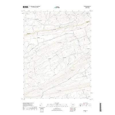
(20)- 2010 Map of Reward, 2010 Print
 2010 Reward2010 Print · USGSCovers Susquehanna Township, including Seven Stars, Reward, and other nearby areas
 - 2010 Map of Richfield, 2010 Print
 2010 Richfield2010 Print · USGSCovers Susquehanna Township, including West Perry Township, Perry Township, and other nearby areas
 - 2010 Map of Dalmatia, 2010 Print
 2010 Dalmatia2010 Print · USGSCovers Susquehanna Township, including Chapman, Perry Township, and other nearby areas
 - 2010 Map of Millersburg, 2010 Print
 2010 Millersburg2010 Print · USGSCovers Susquehanna Township, including Malta, Lenkerville, and other nearby areas
 - 2013 Map of Dalmatia, 2013 Print
 2013 Dalmatia2013 Print · USGSCovers Susquehanna Township, including Chapman, Perry Township, and other nearby areas
 - 2013 Map of Richfield, 2013 Print
 2013 Richfield2013 Print · USGSCovers Susquehanna Township, including West Perry Township, Perry Township, and other nearby areas
 - 2013 Map of Reward, 2013 Print
 2013 Reward2013 Print · USGSCovers Susquehanna Township, including Seven Stars, Reward, and other nearby areas
 - 2013 Map of Millersburg, 2013 Print
 2013 Millersburg2013 Print · USGSCovers Susquehanna Township, including Malta, Lenkerville, and other nearby areas
 - 2016 Map of Millersburg, 2016 Print
 2016 Millersburg2016 Print · USGSCovers Susquehanna Township, including Malta, Lenkerville, and other nearby areas
 - 2016 Map of Dalmatia, 2016 Print
 2016 Dalmatia2016 Print · USGSCovers Susquehanna Township, including Chapman, Perry Township, and other nearby areas
 - 2016 Map of Reward, 2016 Print
 2016 Reward2016 Print · USGSCovers Susquehanna Township, including Seven Stars, Reward, and other nearby areas
 - 2016 Map of Richfield, 2016 Print
 2016 Richfield2016 Print · USGSCovers Susquehanna Township, including West Perry Township, Perry Township, and other nearby areas
 - 2019 Map of Dalmatia, 2019 Print
 2019 Dalmatia2019 Print · USGSCovers Susquehanna Township, including Chapman, Perry Township, and other nearby areas
 - 2019 Map of Richfield, 2019 Print
 2019 Richfield2019 Print · USGSCovers Susquehanna Township, including West Perry Township, Perry Township, and other nearby areas
 - 2019 Map of Reward, 2019 Print
 2019 Reward2019 Print · USGSCovers Susquehanna Township, including Seven Stars, Reward, and other nearby areas
 - 2019 Map of Millersburg, 2019 Print
 2019 Millersburg2019 Print · USGSCovers Susquehanna Township, including Malta, Lenkerville, and other nearby areas
 - 2023 Map of Reward, 2023 Print
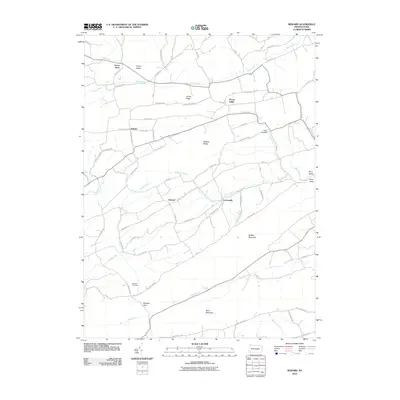
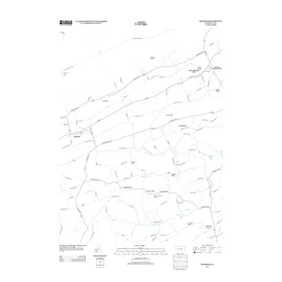
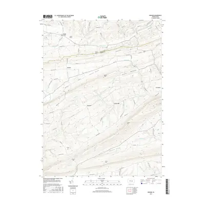
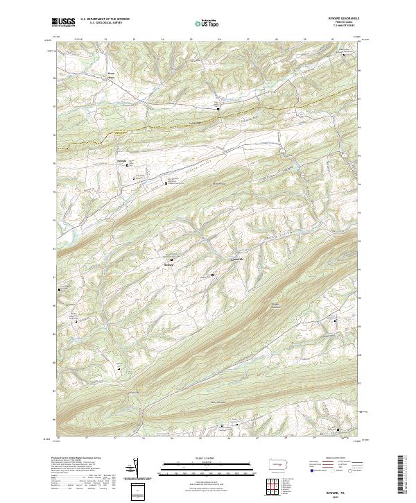 2023 Reward2023 Print · USGSThe rural borderlands of Juniata and Perry Counties are mapped here in the early twenty-first century, showcasing a landscape of ridges and deep agricultural valleys. Genealogists can locate numerous historic burial sites, including the Long Family Graveyard and Hetrick Burial Grounds.
 - 2023 Map of Richfield, 2023 Print
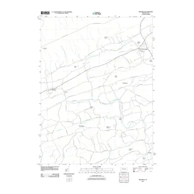
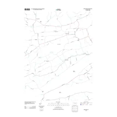
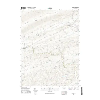
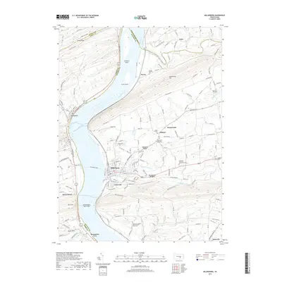
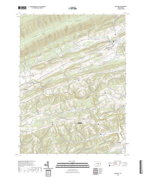 2023 Richfield2023 Print · USGSSpanning the rural border of Juniata and Snyder counties, this recent survey shows the deeply etched valleys and ridges of central Pennsylvania. Genealogists can trace family names through landmarks like Richfield-Union Cem, Saint Peters Cem, and the village of Mount Pleasant Mills.
 - 2023 Map of Dalmatia, 2023 Print
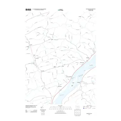
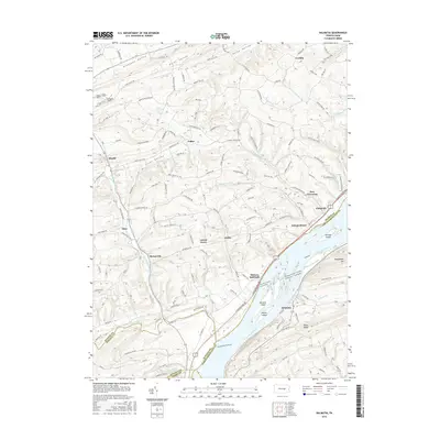
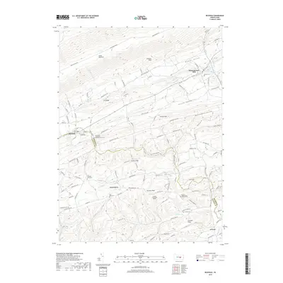
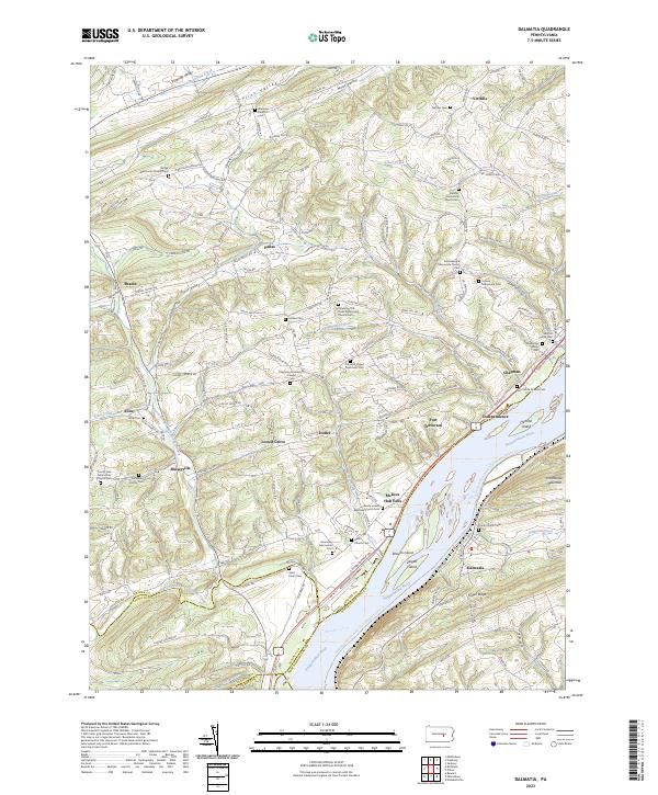 2023 Dalmatia2023 Print · USGSThe river valley at the border of Snyder and Northumberland counties retains its deep-rooted agricultural and spiritual character. Genealogists can trace family heritage through the Portzline Family Cem, while researchers will find numerous rural congregations like the Susquehanna Mennonite Church.
 - 2023 Map of Millersburg, 2023 Print
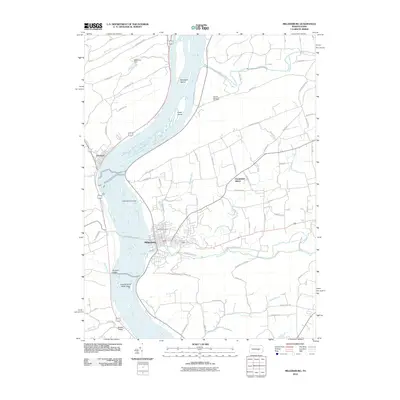
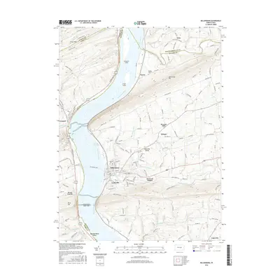
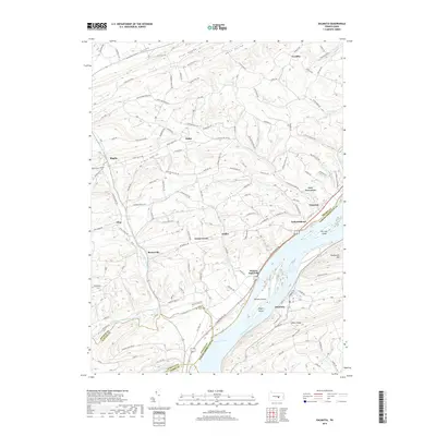
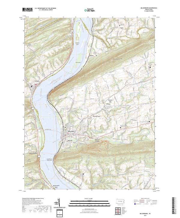 2023 Millersburg2023 Print · USGSThe Susquehanna River valley and its dramatic water gaps come into sharp focus in this recent survey. Researchers can trace historic river crossings like the Millersburg Ferry and Montgomery Ferry or locate ancestral sites at Old Irish Cem and Saint Lukes Parish Cem.
End of results
Showing maps 1-20 of 20
Top cities near Susquehanna Township
- Sunbury historical maps
- Selinsgrove historical maps
- Newport historical maps
- Shamokin Dam historical maps
- Chapman historical maps
- Middleburg historical maps
See more
Top neighborhoods of Susquehanna Township
Frequently asked questions
- What are the different types of historical maps available for Susquehanna Township?
- What is the oldest map of Susquehanna Township?
- Where can I purchase historical maps of Susquehanna Township for my home or office?
- Where can I download high-res historical maps of Susquehanna Township?
- Are there historical topographic maps available for Susquehanna Township?
- Is there historical aerial imagery available for Susquehanna Township?
- Where are historical maps of Susquehanna Township sourced from?