2000s (21st Century) Maps of Moosic, Pennsylvania
Explore 10 historic maps of Moosic from the 2000s (21st Century). These maps offer a rare glimpse into what life looked like during the 2000s — showing old roads, neighborhoods, homes, and landmarks that have changed or disappeared over time.
Whether you're researching your family's past, planning a metal detecting trip, or studying how Moosic's landscape evolved across the 2000s, these high-resolution maps are a powerful tool for exploring the history of this region.
- Focus on a specific era: All maps on this page are from the 2000s, giving you a focused view of this time period.
- See what’s changed: Compare century-old streets, trails, and buildings to today's modern landscape using overlays and satellite layers.
- Research with precision: Use these maps for genealogy, historical research, land use analysis, or educational projects.
- View, download, or print: Maps are fully viewable online in high resolution, and can be downloaded or printed for your own records.
Start exploring Moosic's history through authentic maps from the 2000s. This is your window into the past.
Moosic, PA maps
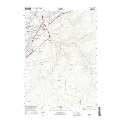
(10)- 2010 Map of Avoca, 2010 Print
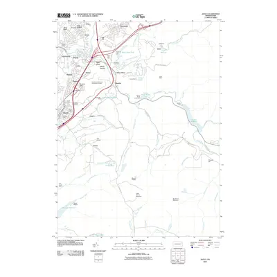 2010 Avoca2010 Print · USGSCovers Moosic, including Scranton, Plains Township, and other nearby areas
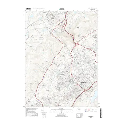
 - 2010 Map of Scranton, 2010 Print
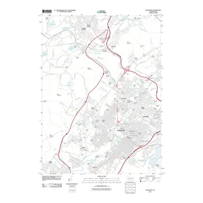 2010 Scranton2010 Print · USGSCovers Moosic, including Scranton, Dunmore, and other nearby areas
 - 2013 Map of Avoca, 2013 Print
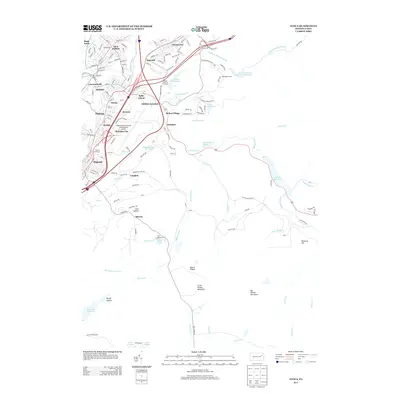 2013 Avoca2013 Print · USGSCovers Moosic, including Scranton, Plains Township, and other nearby areas
 - 2013 Map of Scranton, 2013 Print
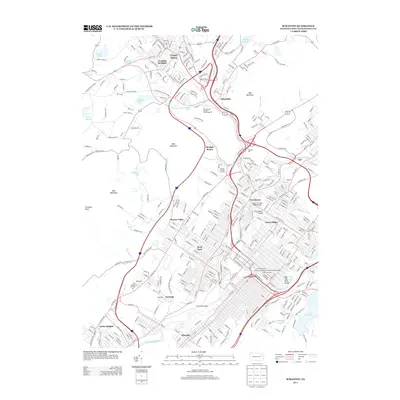 2013 Scranton2013 Print · USGSCovers Moosic, including Scranton, Dunmore, and other nearby areas
 - 2016 Map of Avoca, 2016 Print
 2016 Avoca2016 Print · USGSCovers Moosic, including Scranton, Plains Township, and other nearby areas
 - 2016 Map of Scranton, 2016 Print
 2016 Scranton2016 Print · USGSCovers Moosic, including Scranton, Dunmore, and other nearby areas
 - 2019 Map of Scranton, 2019 Print
 2019 Scranton2019 Print · USGSCovers Moosic, including Scranton, Dunmore, and other nearby areas
 - 2019 Map of Avoca, 2019 Print
 2019 Avoca2019 Print · USGSCovers Moosic, including Scranton, Plains Township, and other nearby areas
 - 2023 Map of Avoca, 2023 Print
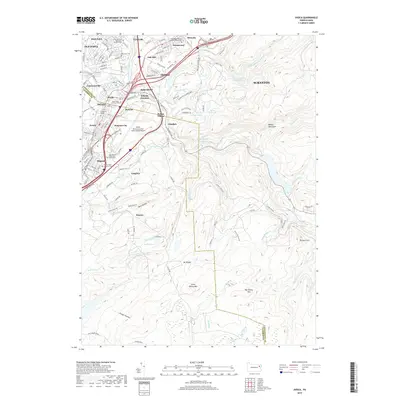
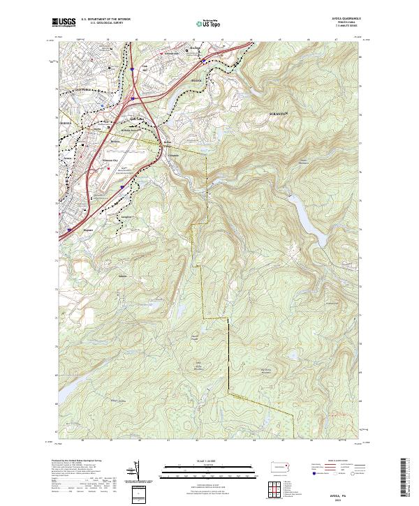 2023 Avoca2023 Print · USGSThe industrial corridor between Scranton and Wilkes-Barre comes into sharp focus during this modern era of development. Trace local family history through numerous churchyards like Saints Peter and Paul Cem or explore the rail-and-river geography of Spike Island and Hillside Junction.
 - 2023 Map of Scranton, 2023 Print
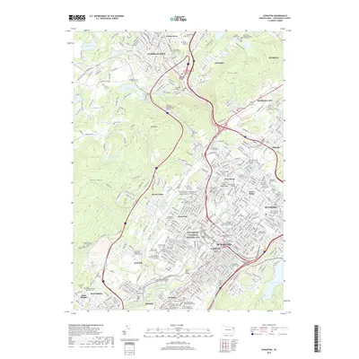
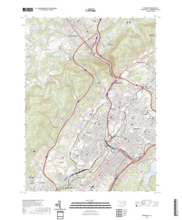 2023 Scranton2023 Print · USGSScranton and the Lackawanna River valley appear here in their modern form, balancing deep industrial roots with contemporary growth. Genealogists can trace family heritage through dozens of named sites like the Dunmore Cemetery, Saint Vladimir Cem, and Evergreen Cem.
End of results
Showing maps 1-10 of 10
Top cities near Moosic
- Scranton historical maps
- Wilkes-Barre historical maps
- Dunmore historical maps
- Kingston historical maps
- Plains Township historical maps
- Carbondale historical maps
See more
Top neighborhoods of Moosic
- Oak Hill historical maps
- Spike Island historical maps
- Starks historical maps
- Belin Village historical maps
- Glenmaura historical maps
- Greenwood historical maps
See more
Frequently asked questions
- What are the different types of historical maps available for Moosic?
- What is the oldest map of Moosic?
- Where can I purchase historical maps of Moosic for my home or office?
- Where can I download high-res historical maps of Moosic?
- Are there historical topographic maps available for Moosic?
- Is there historical aerial imagery available for Moosic?
- Where are historical maps of Moosic sourced from?