Old Maps of Vandling, Pennsylvania for Hiking & Exploration
Hike through history with 25 historic maps of Vandling. Explore old trails, ghost towns, and forgotten backroads — perfect for outdoor adventurers and local explorers.
- Rediscover forgotten places: Map out old mining camps, roads, and footpaths that no longer exist on modern maps.
- Layer with modern tools: Combine with LiDAR or satellite views to plan hikes through historical terrain.
- Made for exploration: Popular among hikers, overlanders, and local history lovers.
Use these maps to find adventure and explore the hidden past of Vandling.
Vandling, PA maps
(25)- 1892 Map of Honesdale
 1892 Honesdale1892 Print · USGSWayne County was at its industrial peak in the 1890s, when gravity railroads and standard steam lines converged to move anthracite coal. You can trace the unique route of the Delaware and Hudson Canal Co Gravity Railroad and find early village layouts in Honesdale, Bethany, and Waymart.7 unique versions available
 - 1943 Map of Honesdale
 1943 Honesdale1943 Print · USGSThe northern Poconos and the Upper Delaware River valley appear here during the early war years, showing a network of mountain hamlets and riverfront rail towns. Genealogists can trace family roots through numerous remote institutions like Kingsbury Hill Church, Peakville P O, and the Hiawatha School.
 - 1946 Map of Forest City, 1966 Print
 1946 Forest City1966 Print · USGSPost-war Susquehanna County is captured here as the coal and rail era transitions into a new chapter. Genealogists can trace family lines through Forest City and find rural landmarks like the Curtis Valley Sch or Maple Grove Cem.3 unique versions available
 - 1946 Map of Waymart, 1968 Print
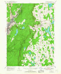 1946 Waymart1968 Print · USGSWayne and Lackawanna counties showcase a mix of industrial coal valley life and rural highland settlements in the mid-1940s. Genealogists and historians can trace family roots through the Russian Monastery, Old Canaan Cem, and the Fairview State Hospital.4 unique versions available
 - 1948 Map of Waymart
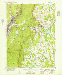 1948 Waymart1948 Print · USGSThe Lackawanna River valley and the eastern plateaus are shown in the late 1940s, just as the regional rail network remained at its peak. Researchers can trace the Erie Railroad through Carbondale and locate landmarks like the Russian Monastery or South Clinton Sch.2 unique versions available
 - 1949 Map of Forest City
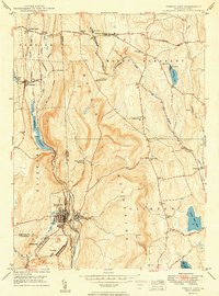 1949 Forest City1949 Print · USGSIn the decade following the war, this Pennsylvania landscape shows the enduring rail-and-river network of the Moosic Mountains. Genealogists and historians can trace family-named landmarks and rural hubs such as Pleasant Mount, Uniondale, and the St Peter and Paul Ch.2 unique versions available
 - 1950 Map of Scranton, 1952 Print
 1950 Scranton1952 Print · USGSMid-century Northeast Pennsylvania and the Hudson Valley come alive in this survey of the tri-state region. Genealogists and historians can trace the dense rail networks of the Erie RR and DL&W RR between industrial hubs like Scranton and Wilkes-Barre.
 - 1953 Map of Scranton
 1953 Scranton1953 Print · USGSNortheastern Pennsylvania and the Catskills are shown in great detail during the early fifties, a time when rail lines and river valleys dictated the region's growth. Genealogists and historians can trace the industrial hearts of Scranton and Wilkes-Barre or locate remote landmarks like High Point and Lake Wallenpaupack.
 - 1959 Map of Scranton
 1959 Scranton1959 Print · USGSThe northern coalfields and the Hudson Valley meet in this mid-century survey of the Pennsylvania and New York borderlands. Genealogists and historians can trace the intricate rail networks of the Erie Railroad and the vast waters of Lake Wallenpaupack.2 unique versions available
 - 1962 Map of Scranton, 1977 Print
 1962 Scranton1977 Print · USGSThe industrial heart of eastern Pennsylvania and the New York Catskills are captured here in the early sixties. Genealogists and historians can trace the dense valley settlements from Scranton to Wilkes-Barre and the rail lines of the Erie Lackawanna Railroad.2 unique versions available
 - 1965 Map of Scranton
 1965 Scranton1965 Print · USGSThe tri-state highlands of Pennsylvania, New York, and New Jersey come alive in the mid-sixties as industry and recreation converge. Trace the intricate rail lines of the Erie Lackawanna RR or locate landmarks like the U S Military Academy.2 unique versions available
 - 1986 Map of Honesdale
 1986 Honesdale1986 Print · USGSNortheastern Pennsylvania and the New York borderlands appear here in the mid-1980s, during a period of transition for the region's industrial river valleys. Genealogists can trace family connections across the Moosic Mountains between the coal towns of Carbondale and the canal-era heritage of Honesdale.2 unique versions available
 - 1994 Map of Waymart, 1996 Print
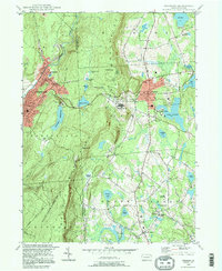 1994 Waymart1996 Print · USGSThe Moosic Mountains divide the industrial Lackawanna valley from the rural plateaus of Wayne County in the mid-1990s. Researchers can trace the anthracite heritage of Carbondale or find local landmarks like St Nicholas Seminary and Keen Lake.
 - 1994 Map of Forest City, 1996 Print
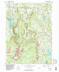 1994 Forest City1996 Print · USGSNortheastern Pennsylvania’s high country near the turn of the millennium shows a landscape defined by the Lackawanna River and its upland reservoirs. Trace the historic Old Newburgh Turnpike and locate old family cemeteries like Maple Grove Cem and Sherwood Cem.
 - 1999 Map of Waymart, 2001 Print
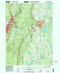 1999 Waymart2001 Print · USGSWayne and Lackawanna counties appear here at the turn of the millennium, showing the transition from industrial valleys to mountain plateaus. Genealogists and historians can locate St Tikhons Seminary, the Russian Monastery, and several graveyards including South Canaan Cem.
 - 2010 Map of Waymart, 2010 Print
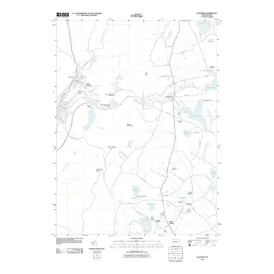 2010 Waymart2010 Print · USGSThe Moosic Mountains divide the Lackawanna River valley from the highland lakes of Wayne County in the early twenty-first century. Genealogists and historians can locate Old Canaan Cemetery or trace landmarks like the Salem Firetower and Machell Mill Dam.
 - 2010 Map of Forest City, 2010 Print
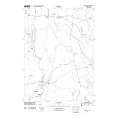 2010 Forest City2010 Print · USGSForest City and its surrounding boroughs are shown at the start of the 21st century, revealing a landscape shaped by coal mining and river travel. Researchers can trace industrial footprints like the Old Forest City Shaft or find local heritage sites at Saint James Cemetery and the Pleasant Mount Fish Hatchery.
 - 2013 Map of Waymart, 2013 Print
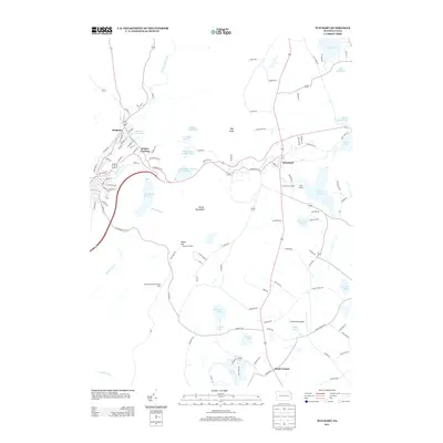 2013 Waymart2013 Print · USGSThe Moosic Mountains overlook a landscape of industrial river valleys and recreational lakes in the 2010s. Trace old borough streets in Simpson or locate rural landmarks like Kellachows Airport and Lake Quinn.
 - 2013 Map of Forest City, 2013 Print
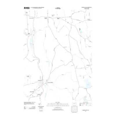 2013 Forest City2013 Print · USGSThe northern Lackawanna Valley comes into focus in the early twenty-first century, showing the corridor from Forest City to Union Dale. Genealogists can trace property locations and local landmarks like the Pleasant Mount Fish Hatchery and Stahl's Mountain Airport.
 - 2016 Map of Waymart, 2016 Print
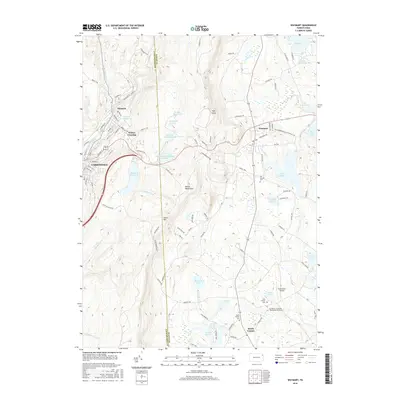 2016 Waymart2016 Print · USGSThe northern Lackawanna Valley meets the Wayne County plateau in this mid-2010s study of the Moosic Mountains and the upper Lackawanna River. Trace local heritage through St Tikhon's Seminary and historic sites like Old Canaan Cem and Simpson.
 - 2016 Map of Forest City, 2016 Print
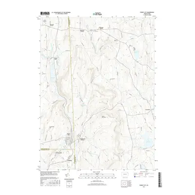 2016 Forest City2016 Print · USGSThe Upper Lackawanna Valley settlements of Forest City and Vandling are shown in 2016 at the intersection of three counties. Local historians can trace cemetery locations like Saint James Cem and map the drainage of the Lackawanna River and Brace Brook Reservoir.
 - 2019 Map of Forest City, 2019 Print
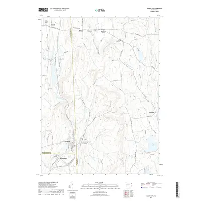 2019 Forest City2019 Print · USGSThe tri-county borderlands of Susquehanna, Wayne, and Lackawanna counties are captured here in the late twenty-tens. Researchers can trace the path of the Old Newburg Tpke through historic settlements like Union Dale, Pleasant Mount, and Forest City.
 - 2019 Map of Waymart, 2019 Print
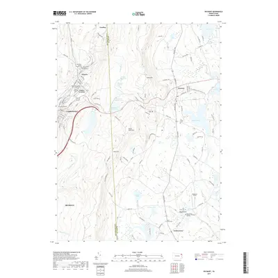 2019 Waymart2019 Print · USGSThe Lackawanna River valley and Moosic Mountains meet in this recent survey, capturing the dense settlement of the coal region and the rural plateau of Wayne County. Family historians can locate several denominational cemeteries like Holy Trinity Cem and landmarks such as Kellachows Airport.
 - 2023 Map of Waymart, 2023 Print
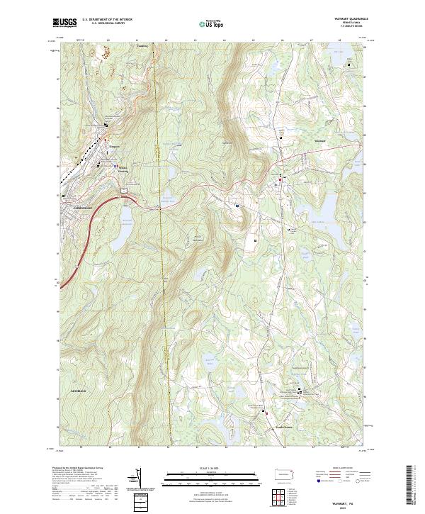 2023 Waymart2023 Print · USGSThe Moosic Mountains and the upper Lackawanna Valley appear here during the early twenty-first century, showing a landscape defined by deep religious heritage and rail history. Trace local lineages at Saint Tikhons or explore the D&H Rail Trl and Lake Ladore.
 - 2023 Map of Forest City, 2023 Print
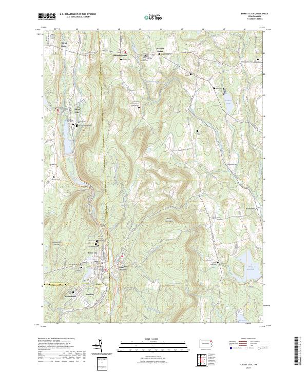 2023 Forest City2023 Print · USGSThe northern Moosic Mountains come into focus on the Susquehanna and Wayne County borders in this modern survey. Genealogists can trace family lines through the Meredith Family Cem, Wheeler Hill Cem, and the distinctive Old Colonial Mausoleum.
End of results
Showing maps 1-25 of 25
Frequently asked questions
- What are the different types of historical maps available for Vandling?
- What is the oldest map of Vandling?
- Where can I purchase historical maps of Vandling for my home or office?
- Where can I download high-res historical maps of Vandling?
- Are there historical topographic maps available for Vandling?
- Is there historical aerial imagery available for Vandling?
- Where are historical maps of Vandling sourced from?