Old Maps of Adamstown, Pennsylvania for Academic Research
Study the evolution of Adamstown with 26 high-resolution historic maps. Whether you're teaching, researching, or modeling changes in land use, these maps provide essential visual documentation of urban, environmental, and geographic change.
- Analyze long-term change: Track patterns in development, transportation, and natural features.
- Ideal for environmental or urban studies: Support academic projects with primary historical map data.
- Use in the classroom or lab: Educators and researchers rely on these maps to bring historical context to life.
These maps are a powerful tool for teaching, research, and visualizing how Adamstown has changed over the decades.
Adamstown, PA maps
(26)- 1902 Map of Wernersville
 1902 Wernersville1902 Print · USGSBerks and Lebanon counties at the start of the twentieth century show a landscape defined by industrial rail lines and agricultural valleys. Trace family roots at the Orphans Home or locate landmarks like Krick's Mill and Eagle Peak.8 unique versions available
 - 1906 Map of New Holland, 1962 Print
 1906 New Holland1962 Print · USGSLancaster County at the start of the twentieth century shows a landscape transitioning from turnpikes to electric railways. Genealogists can trace family roots through an extensive network of rural landmarks, including Heller Church, Red Well School, and the early Waterworks at Ephrata.
 - 1908 Map of New Holland
 1908 New Holland1908 Print · USGSLancaster County at the turn of the century shows a thriving landscape of rural schoolhouses and turnpike villages. Genealogists can locate family landmarks like Middle Creek Church, Heller Church, and dozens of local schools from Stony Hill School to Clay School.6 unique versions available
 - 1941 Map of New Holland
 1941 New Holland1941 Print · USGSLancaster County’s agricultural heartland is documented here just as the modern highway era arrived. Genealogists and local historians can trace family locations through dozens of named rural landmarks like Heller Church, Fetter School, and the Pennsylvania RR corridor.
 - 1943 Map of Wernersville
 1943 Wernersville1943 Print · USGSSoutheastern Pennsylvania farmland and rail towns are captured here during the wartime era, showing the intersection of Berks, Lebanon, and Lancaster counties. Genealogists and local researchers can trace historic institutions like Bethany Orphans Home or the Blue Meeting House.2 unique versions available
 - 1950 Map of Harrisburg, 1952 Print
 1950 Harrisburg1952 Print · USGSMid-century Central Pennsylvania comes alive through its dense rail networks and river valley settlements during the post-war industrial era. Genealogists and historians can trace family roots through hubs like Harrisburg, locate Carlisle Barracks, or follow the Pennsylvania RR through the Lebanon Valley.
 - 1953 Map of Wernersville
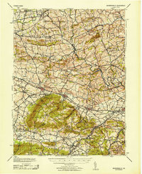 1953 Wernersville1953 Print · USGSBerks and Lebanon counties are shown in detail during the early 1950s, highlighting a landscape of institutional growth and deep-rooted rural settlements. Genealogists can locate family landmarks like the Bethany Orphans Home, Kricks Mill, and the Blue Meeting House.
 - 1955 Map of Sinking Spring, 1956 Print
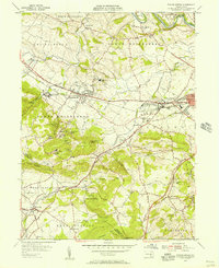 1955 Sinking Spring1956 Print · USGSBerks and Lancaster counties are shown during a period of steady mid-century growth along the Reading railroad line. Researchers can trace the layout of the Wernersville State Hospital or locate historic local churches like Hains Ch and Olive Leaf Chapel.6 unique versions available
 - 1956 Map of Terre Hill, 1957 Print
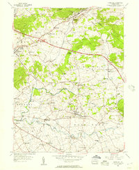 1956 Terre Hill1957 Print · USGSMid-century Lancaster County is captured here at the meeting of tradition and transit, just as the turnpike began reshaping the countryside. Genealogists can trace family roots through numerous local landmarks like Wide Hollow Sch, Red Run Ch, and the many small crossroads settlements like Fivepointville.6 unique versions available
 - 1957 Map of Harrisburg
 1957 Harrisburg1957 Print · USGSMid-century Central Pennsylvania comes into focus as a bustling network of rail, river, and mountain ridges. Genealogists and historians can trace the development of the State Capitol and surrounding hubs like Middletown, Columbia, and Pottsville.7 unique versions available
 - 1961 Map of Harrisburg
 1961 Harrisburg1961 Print · USGSCentral Pennsylvania is shown at a mid-century peak of industrial and military activity, from the Susquehanna water gaps to the fertile Dutch Country. Genealogists and historians can trace the rail corridors of the Pennsylvania RR and find landmarks like Carlisle Barracks or the Anthracite Coal Fields.2 unique versions available
 - 1963 Map of Wernersville
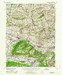 1963 Wernersville1963 Print · USGSBerks County and Lebanon County are captured here in the early 1960s, showing a landscape defined by ridgelines and Pennsylvania Dutch heritage. Researchers can trace historic local institutions like the Bethany Orphans Home, the Jesuit College, and the winding Reading RR.
 - 1964 Map of Harrisburg
 1964 Harrisburg1964 Print · USGSCentral Pennsylvania in the mid-fifties reveals a landscape shaped by ridge-and-valley geology and critical Cold War infrastructure. Researchers can trace the massive Indiantown Gap Military Reservation or the rail corridors of the Pennsylvania RR and Reading RR.
 - 1984 Map of Harrisburg, 1985 Print
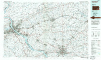 1984 Harrisburg1985 Print · USGSCentral Pennsylvania in the mid-eighties shows a landscape defined by the winding Susquehanna River and the industrial growth of its river towns. Researchers can trace the rail corridors of Amtrak and Conrail or explore the bounds of Fort Indiantown Gap Military Reservation.2 unique versions available
 - 1999 Map of Terre Hill, 2001 Print
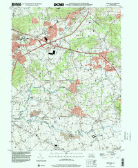 1999 Terre Hill2001 Print · USGSNortheastern Lancaster County at the end of the century retains its traditional rural layout despite the path of the Pennsylvania Turnpike. Genealogists and historians can trace numerous local landmarks including Salem Cem, Reddenbach Ch, and the many schools of East Earl.
 - 1999 Map of Sinking Spring, 2001 Print
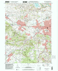 1999 Sinking Spring2001 Print · USGSSinking Spring and the South Mountain slopes are shown at the turn of the millennium, as suburban expansion meets historic institutions. Researchers can trace the grounds of the Wernersville State Hospital, old burial sites like Pleasant View Cem, and the path of the CONRAIL line.
 - 2010 Map of Terre Hill, 2010 Print
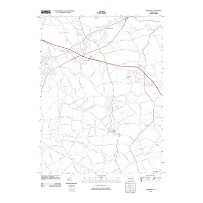 2010 Terre Hill2010 Print · USGSNortheastern Lancaster County in the early 2000s remains a landscape of rolling hills and traditional settlements. Genealogists and local historians can trace family locations near Salem Cemetery, the borough of Terre Hill, and the historic banks of the Conestoga River.
 - 2010 Map of Sinking Spring, 2010 Print
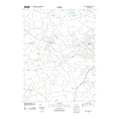 2010 Sinking Spring2010 Print · USGSSinking Spring and Wernersville are captured here during a period of steady suburban integration with the Berks County countryside. Genealogists and local historians can locate several burial grounds, such as Pleasant View Cemetery, and historic sites like Old Dry Road Farm.
 - 2013 Map of Sinking Spring, 2013 Print
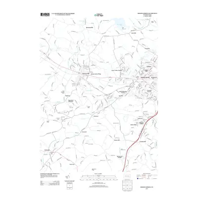 2013 Sinking Spring2013 Print · USGSBerks County's suburban and ridge landscapes are captured here during a period of significant residential expansion west of Reading. Genealogists and local researchers can trace established neighborhoods and landmarks like Villa Maria Infirmary, Fritztown, and the West Cloister Garden.
 - 2013 Map of Terre Hill, 2013 Print
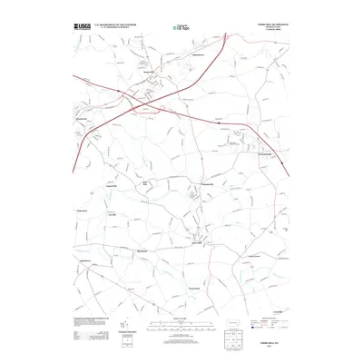 2013 Terre Hill2013 Print · USGSLancaster County's patchwork of colonial-era villages and fertile valleys is captured here in the early twenty-first century. Genealogists and local historians can trace family-named landmarks and historic settlements from Terre Hill and Reamstown to the banks of the Conestoga River.
 - 2016 Map of Sinking Spring, 2016 Print
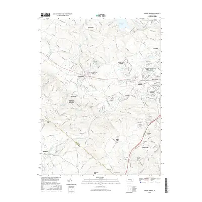 2016 Sinking Spring2016 Print · USGSBerks County's suburban and wooded landscapes meet at the Lancaster County line in this modern survey. Genealogists can trace family names through numerous burial sites like Sinking Spring Cem or locate local landmarks like Boyer Airport.
 - 2016 Map of Terre Hill, 2016 Print
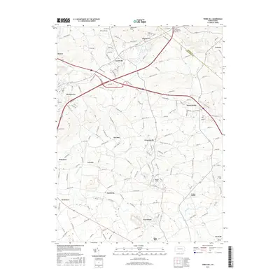 2016 Terre Hill2016 Print · USGSLancaster and Berks Counties are shown in the mid-2010s, where traditional Pennsylvania Dutch Country settlements meet the rising terrain of Adamstown Ridge. Genealogists can locate family landmarks such as Gehmans Mennonite Ch, Salem Cem, and the village of Terre Hill.
 - 2019 Map of Sinking Spring, 2019 Print
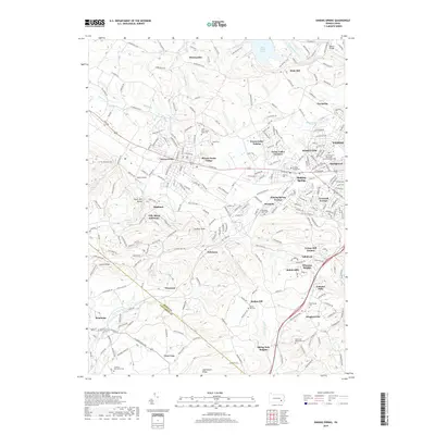 2019 Sinking Spring2019 Print · USGSSinking Spring and the western Berks County suburbs are shown in late-decade detail as residential growth extends toward the ridge lands. Researchers can locate numerous historic burial sites and landmarks like Sinking Spring Cem, Boyer Airport, and the Union Canal Trail.
 - 2019 Map of Terre Hill, 2019 Print
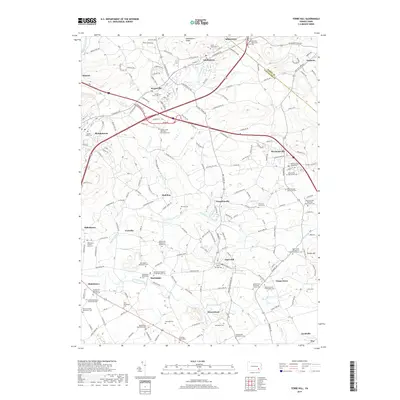 2019 Terre Hill2019 Print · USGSThe Pennsylvania Dutch Country landscape is revealed in this modern survey of the Berks and Lancaster County border. Genealogists and historians can locate numerous faith-based landmarks like the Weaverland Mennonite Cem, Old Welsh Cem, and Messner's Grave Yard.
 - 2023 Map of Sinking Spring, 2023 Print
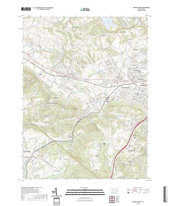 2023 Sinking Spring2023 Print · USGSBerks County and the Lancaster County border are captured here in the early twenty-first century. Researchers can trace local heritage through numerous sites like Saint John's Hains Cem, Villa Maria Infirmary, and Fritztown.
Showing maps 1-25 of 26
Frequently asked questions
- What are the different types of historical maps available for Adamstown?
- What is the oldest map of Adamstown?
- Where can I purchase historical maps of Adamstown for my home or office?
- Where can I download high-res historical maps of Adamstown?
- Are there historical topographic maps available for Adamstown?
- Is there historical aerial imagery available for Adamstown?
- Where are historical maps of Adamstown sourced from?