2000s (21st Century) Maps of South Whitehall Township, Pennsylvania
Explore 7 historic maps of South Whitehall Township from the 2000s (21st Century). These maps offer a rare glimpse into what life looked like during the 2000s — showing old roads, neighborhoods, homes, and landmarks that have changed or disappeared over time.
Whether you're researching your family's past, planning a metal detecting trip, or studying how South Whitehall Township's landscape evolved across the 2000s, these high-resolution maps are a powerful tool for exploring the history of this region.
- Focus on a specific era: All maps on this page are from the 2000s, giving you a focused view of this time period.
- See what’s changed: Compare century-old streets, trails, and buildings to today's modern landscape using overlays and satellite layers.
- Research with precision: Use these maps for genealogy, historical research, land use analysis, or educational projects.
- View, download, or print: Maps are fully viewable online in high resolution, and can be downloaded or printed for your own records.
Start exploring South Whitehall Township's history through authentic maps from the 2000s. This is your window into the past.
South Whitehall Township, PA maps
(7)- 2010 Map of Cementon, 2010 Print
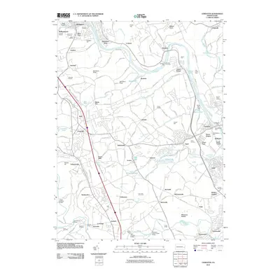 2010 Cementon2010 Print · USGSCovers South Whitehall Township, including Slatington, Egypt, and other nearby areas
 - 2013 Map of Cementon, 2013 Print
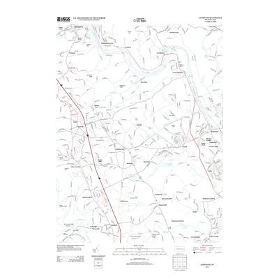 2013 Cementon2013 Print · USGSCovers South Whitehall Township, including Slatington, Egypt, and other nearby areas
 - 2016 Map of Cementon, 2016 Print
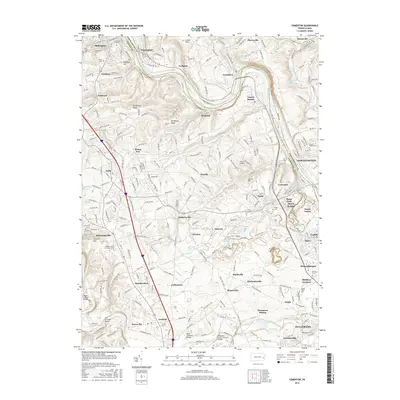 2016 Cementon2016 Print · USGSCovers South Whitehall Township, including Slatington, Egypt, and other nearby areas
 - 2019 Map of Cementon, 2019 Print
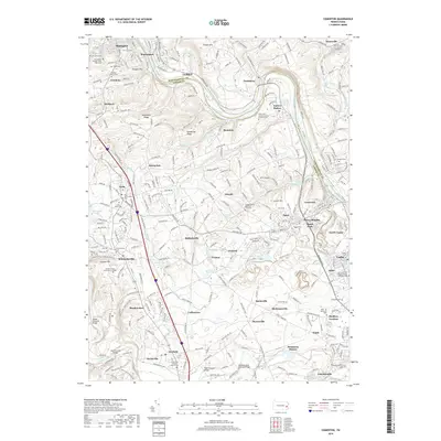 2019 Cementon2019 Print · USGSCovers South Whitehall Township, including Slatington, Egypt, and other nearby areas
 - 2023 Map of Cementon, 2023 Print
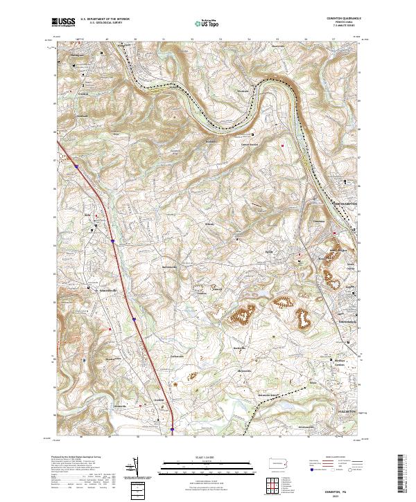 2023 Cementon2023 Print · USGSThe Lehigh River valley comes to life here at the dawn of the 2020s, showcasing a dense network of river-towns and industrial rail corridors. Genealogists and historians can locate numerous family burial sites and historical markers, including the Lehigh County Massacre Gravesite and Neffs Union Cem.
 - 2023 Map of Allentown East, 2023 Print
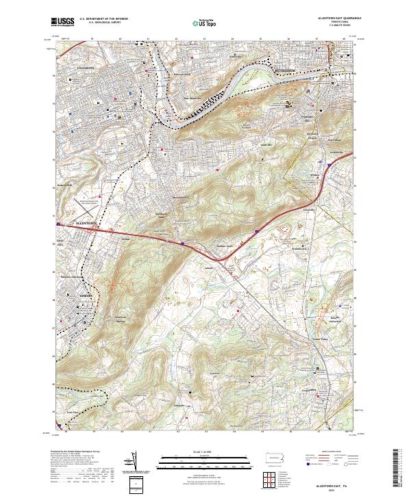 2023 Allentown East2023 Print · USGSThe Lehigh River corridor near Bethlehem and Allentown comes into focus in this recent study of the Lehigh Valley. Genealogists can trace family plots at Gods Acre Cem and Emmaus Moravian Cem or locate historic settlements like Friedensville and Seidersville.
 - 2023 Map of Allentown West, 2023 Print
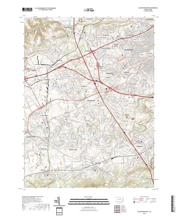 2023 Allentown West2023 Print · USGSThe western suburbs of Allentown and the surrounding Lehigh Valley are captured here in the early twenty-first century. Researchers can trace family sites at Greenwood Cem, locate Muhlenberg College, or explore the reaches of Little Lehigh Creek.
End of results
Showing maps 1-7 of 7
Top cities near South Whitehall Township
- Allentown historical maps
- Bethlehem historical maps
- Fullerton historical maps
- Emmaus historical maps
- Lower Saucon Township historical maps
- Hanover Township historical maps
See more
Top neighborhoods of South Whitehall Township
- Greenawalds historical maps
- Guthsville historical maps
- Westwood Heights historical maps
- Crackersport historical maps
- Metamora Station historical maps
- Guth historical maps
See more
Frequently asked questions
- What are the different types of historical maps available for South Whitehall Township?
- What is the oldest map of South Whitehall Township?
- Where can I purchase historical maps of South Whitehall Township for my home or office?
- Where can I download high-res historical maps of South Whitehall Township?
- Are there historical topographic maps available for South Whitehall Township?
- Is there historical aerial imagery available for South Whitehall Township?
- Where are historical maps of South Whitehall Township sourced from?