2000s (21st Century) Maps of Hollenback Township, Pennsylvania
Explore 10 historic maps of Hollenback Township from the 2000s (21st Century). These maps offer a rare glimpse into what life looked like during the 2000s — showing old roads, neighborhoods, homes, and landmarks that have changed or disappeared over time.
Whether you're researching your family's past, planning a metal detecting trip, or studying how Hollenback Township's landscape evolved across the 2000s, these high-resolution maps are a powerful tool for exploring the history of this region.
- Focus on a specific era: All maps on this page are from the 2000s, giving you a focused view of this time period.
- See what’s changed: Compare century-old streets, trails, and buildings to today's modern landscape using overlays and satellite layers.
- Research with precision: Use these maps for genealogy, historical research, land use analysis, or educational projects.
- View, download, or print: Maps are fully viewable online in high resolution, and can be downloaded or printed for your own records.
Start exploring Hollenback Township's history through authentic maps from the 2000s. This is your window into the past.
Hollenback Township, PA maps
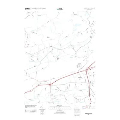
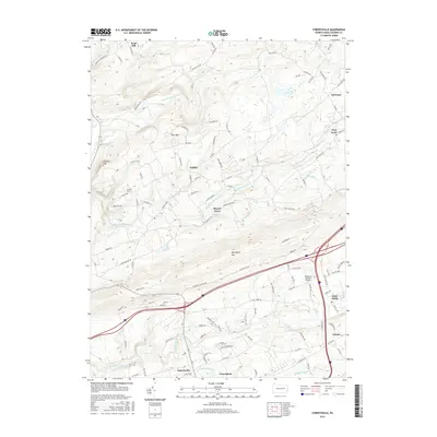
(10)- 2010 Map of Sybertsville, 2010 Print
 2010 Sybertsville2010 Print · USGSCovers Hollenback Township, including Dorrance Township, Conyngham Township, and other nearby areas
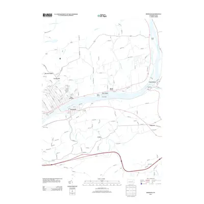
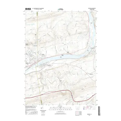
 - 2010 Map of Berwick, 2010 Print
 2010 Berwick2010 Print · USGSCovers Hollenback Township, including Berwick, Nescopeck, and other nearby areas
 - 2013 Map of Sybertsville, 2013 Print
 2013 Sybertsville2013 Print · USGSCovers Hollenback Township, including Dorrance Township, Conyngham Township, and other nearby areas
 - 2013 Map of Berwick, 2013 Print
 2013 Berwick2013 Print · USGSCovers Hollenback Township, including Berwick, Nescopeck, and other nearby areas
 - 2016 Map of Sybertsville, 2016 Print
 2016 Sybertsville2016 Print · USGSCovers Hollenback Township, including Dorrance Township, Conyngham Township, and other nearby areas
 - 2016 Map of Berwick, 2016 Print
 2016 Berwick2016 Print · USGSCovers Hollenback Township, including Berwick, Nescopeck, and other nearby areas
 - 2019 Map of Sybertsville, 2019 Print
 2019 Sybertsville2019 Print · USGSCovers Hollenback Township, including Dorrance Township, Conyngham Township, and other nearby areas
 - 2019 Map of Berwick, 2019 Print
 2019 Berwick2019 Print · USGSCovers Hollenback Township, including Berwick, Nescopeck, and other nearby areas
 - 2023 Map of Sybertsville, 2023 Print
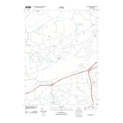
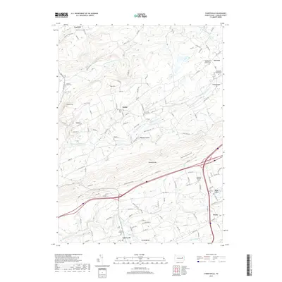
 2023 Sybertsville2023 Print · USGSLuzerne County's ridge-and-valley landscape is documented here in the early twenty-first century, showing traditional crossroads settlements between the mountains. Genealogists and local historians can trace family sites at the Everard Family Cem, Old Mount Zion Cem, and the old church grounds at Hobbie.
 - 2023 Map of Berwick, 2023 Print
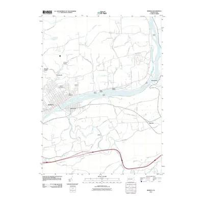
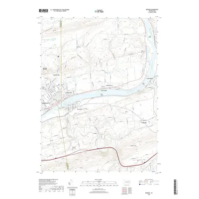
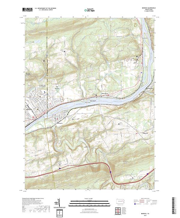 2023 Berwick2023 Print · USGSThe industrial corridor of the Susquehanna River comes into sharp focus in this recent survey of Berwick and Nescopeck. Genealogists can trace family plots at Garrison Memorial Cem and Mount Zion Cem, or explore rural reaches like Foundryville and Wapwallopen.
End of results
Showing maps 1-10 of 10
Top cities near Hollenback Township
- Wilkes-Barre historical maps
- Hazleton historical maps
- Kingston historical maps
- Nanticoke historical maps
- Berwick historical maps
- Plains Township historical maps
See more
Top neighborhoods of Hollenback Township
Frequently asked questions
- What are the different types of historical maps available for Hollenback Township?
- What is the oldest map of Hollenback Township?
- Where can I purchase historical maps of Hollenback Township for my home or office?
- Where can I download high-res historical maps of Hollenback Township?
- Are there historical topographic maps available for Hollenback Township?
- Is there historical aerial imagery available for Hollenback Township?
- Where are historical maps of Hollenback Township sourced from?