2000s (21st Century) Maps of Annin Township, Pennsylvania
Explore 30 historic maps of Annin Township from the 2000s (21st Century). These maps offer a rare glimpse into what life looked like during the 2000s — showing old roads, neighborhoods, homes, and landmarks that have changed or disappeared over time.
Whether you're researching your family's past, planning a metal detecting trip, or studying how Annin Township's landscape evolved across the 2000s, these high-resolution maps are a powerful tool for exploring the history of this region.
- Focus on a specific era: All maps on this page are from the 2000s, giving you a focused view of this time period.
- See what’s changed: Compare century-old streets, trails, and buildings to today's modern landscape using overlays and satellite layers.
- Research with precision: Use these maps for genealogy, historical research, land use analysis, or educational projects.
- View, download, or print: Maps are fully viewable online in high resolution, and can be downloaded or printed for your own records.
Start exploring Annin Township's history through authentic maps from the 2000s. This is your window into the past.
Annin Township, PA maps
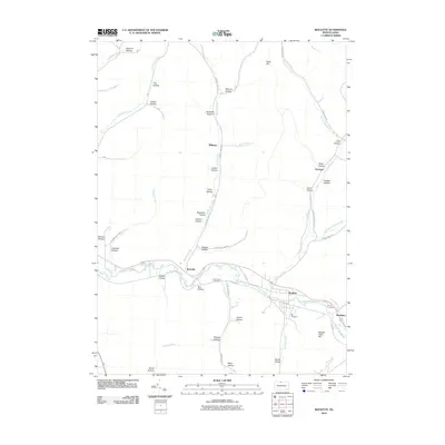
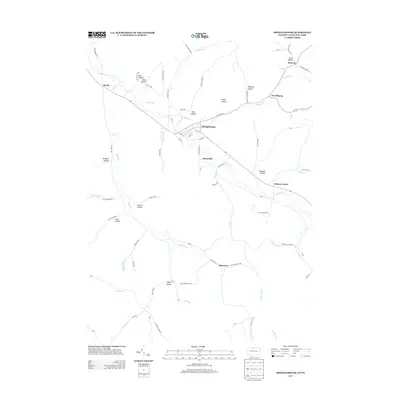
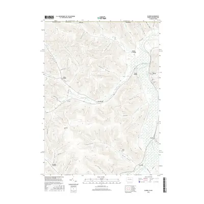
(30)- 2010 Map of Shinglehouse, 2010 Print
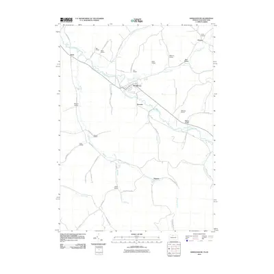 2010 Shinglehouse2010 Print · USGSCovers Annin Township, including Bolivar, Liberty Township, and other nearby areas
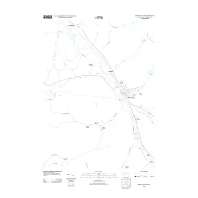
 - 2010 Map of Smethport, 2010 Print
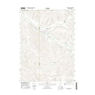
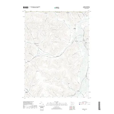
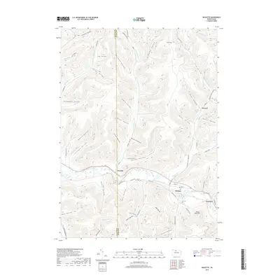
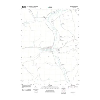 2010 Smethport2010 Print · USGSCovers Annin Township, including Liberty Township, Smethport, and other nearby areas
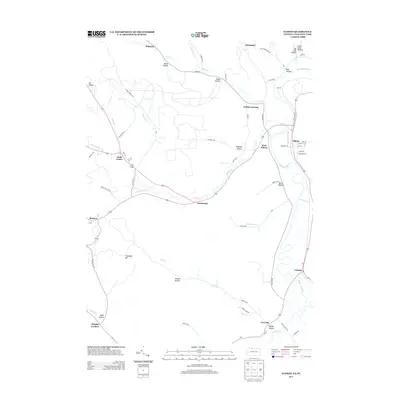
 - 2010 Map of Port Allegany, 2010 Print
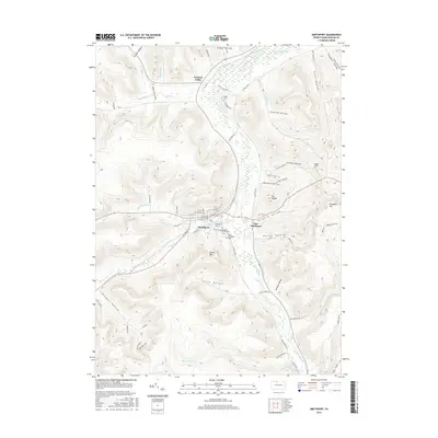
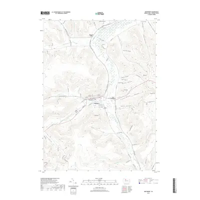
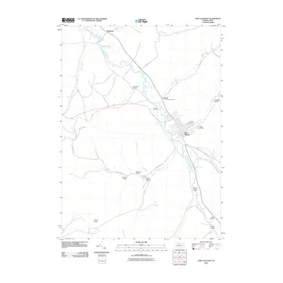 2010 Port Allegany2010 Print · USGSCovers Annin Township, including Port Allegany, Liberty Township, and other nearby areas
 - 2010 Map of Eldred, 2010 Print
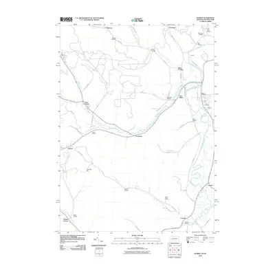 2010 Eldred2010 Print · USGSCovers Annin Township, including Allegany, Portville, and other nearby areas
 - 2010 Map of Roulette, 2010 Print
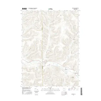
 2010 Roulette2010 Print · USGSCovers Annin Township, including Liberty Township, Roulette Township, and other nearby areas
 - 2010 Map of Bullis Mills, 2010 Print
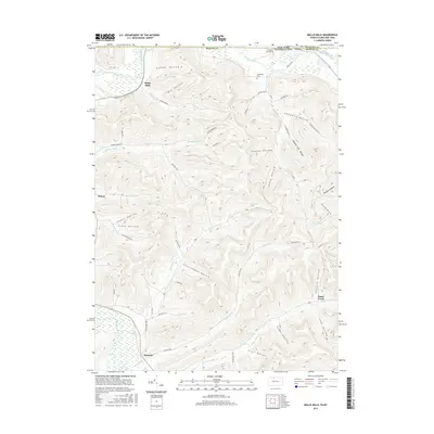
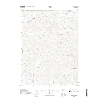
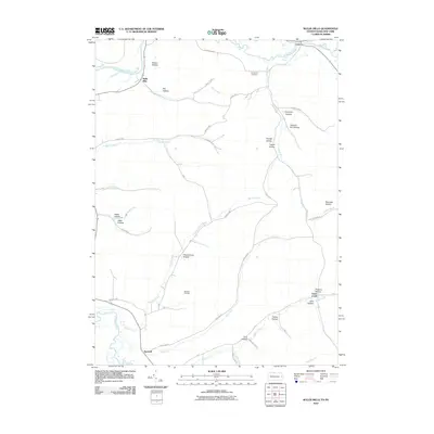 2010 Bullis Mills2010 Print · USGSCovers Annin Township, including Portville, Genesee, and other nearby areas
 - 2013 Map of Bullis Mills, 2013 Print
 2013 Bullis Mills2013 Print · USGSCovers Annin Township, including Portville, Genesee, and other nearby areas
 - 2013 Map of Roulette, 2013 Print
 2013 Roulette2013 Print · USGSCovers Annin Township, including Liberty Township, Roulette Township, and other nearby areas
 - 2013 Map of Shinglehouse, 2013 Print
 2013 Shinglehouse2013 Print · USGSCovers Annin Township, including Bolivar, Liberty Township, and other nearby areas
 - 2013 Map of Port Allegany, 2013 Print
 2013 Port Allegany2013 Print · USGSCovers Annin Township, including Port Allegany, Liberty Township, and other nearby areas
 - 2013 Map of Eldred, 2013 Print
 2013 Eldred2013 Print · USGSCovers Annin Township, including Allegany, Portville, and other nearby areas
 - 2013 Map of Smethport, 2013 Print
 2013 Smethport2013 Print · USGSCovers Annin Township, including Liberty Township, Smethport, and other nearby areas
 - 2016 Map of Eldred, 2016 Print
 2016 Eldred2016 Print · USGSCovers Annin Township, including Allegany, Portville, and other nearby areas
 - 2016 Map of Port Allegany, 2016 Print
 2016 Port Allegany2016 Print · USGSCovers Annin Township, including Port Allegany, Liberty Township, and other nearby areas
 - 2016 Map of Shinglehouse, 2016 Print
 2016 Shinglehouse2016 Print · USGSCovers Annin Township, including Bolivar, Liberty Township, and other nearby areas
 - 2016 Map of Roulette, 2016 Print
 2016 Roulette2016 Print · USGSCovers Annin Township, including Liberty Township, Roulette Township, and other nearby areas
 - 2016 Map of Smethport, 2016 Print
 2016 Smethport2016 Print · USGSCovers Annin Township, including Liberty Township, Smethport, and other nearby areas
 - 2016 Map of Bullis Mills, 2016 Print
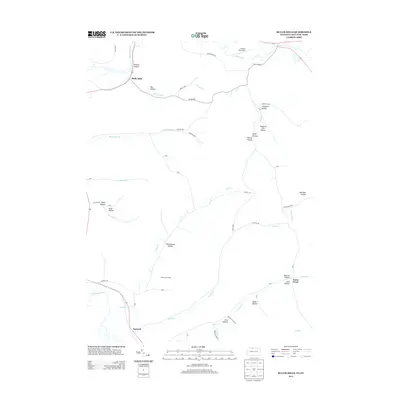
 2016 Bullis Mills2016 Print · USGSCovers Annin Township, including Portville, Genesee, and other nearby areas
 - 2019 Map of Port Allegany, 2019 Print
 2019 Port Allegany2019 Print · USGSCovers Annin Township, including Port Allegany, Liberty Township, and other nearby areas
 - 2019 Map of Eldred, 2019 Print
 2019 Eldred2019 Print · USGSCovers Annin Township, including Allegany, Portville, and other nearby areas
 - 2019 Map of Smethport, 2019 Print
 2019 Smethport2019 Print · USGSCovers Annin Township, including Liberty Township, Smethport, and other nearby areas
 - 2019 Map of Roulette, 2019 Print
 2019 Roulette2019 Print · USGSCovers Annin Township, including Liberty Township, Roulette Township, and other nearby areas
 - 2019 Map of Bullis Mills, 2019 Print
 2019 Bullis Mills2019 Print · USGSCovers Annin Township, including Portville, Genesee, and other nearby areas
 - 2019 Map of Shinglehouse, 2019 Print
 2019 Shinglehouse2019 Print · USGSCovers Annin Township, including Bolivar, Liberty Township, and other nearby areas
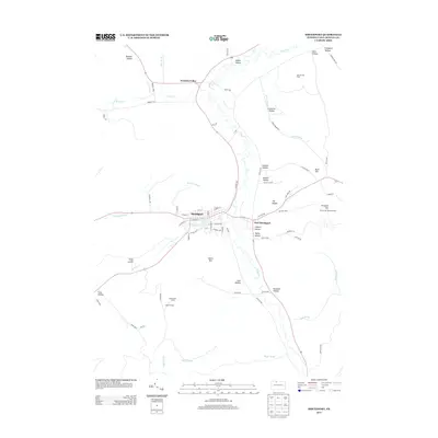
 - 2023 Map of Port Allegany, 2023 Print
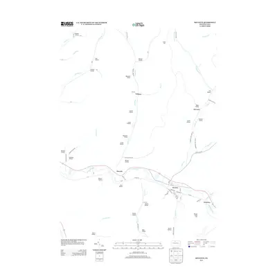
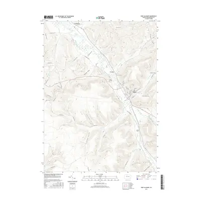
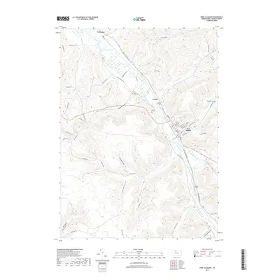
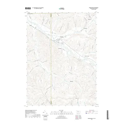
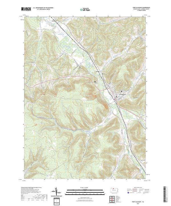 2023 Port Allegany2023 Print · USGSThe Allegheny River valley and the town of Port Allegany are shown in detail as they appeared in the early 2020s. Researchers can locate family landmarks like Port Allegany Cem, Grimes District Cem, and the rural settlement at Turtlepoint.
Showing maps 1-25 of 30
Top cities near Annin Township
- Olean historical maps
- Allegany historical maps
- Portville historical maps
- Port Allegany historical maps
- Bolivar historical maps
- Saint Bonaventure historical maps
See more
Top neighborhoods of Annin Township
Frequently asked questions
- What are the different types of historical maps available for Annin Township?
- What is the oldest map of Annin Township?
- Where can I purchase historical maps of Annin Township for my home or office?
- Where can I download high-res historical maps of Annin Township?
- Are there historical topographic maps available for Annin Township?
- Is there historical aerial imagery available for Annin Township?
- Where are historical maps of Annin Township sourced from?