2000s (21st Century) Maps of Mill Creek Township, Pennsylvania
Explore 15 historic maps of Mill Creek Township from the 2000s (21st Century). These maps offer a rare glimpse into what life looked like during the 2000s — showing old roads, neighborhoods, homes, and landmarks that have changed or disappeared over time.
Whether you're researching your family's past, planning a metal detecting trip, or studying how Mill Creek Township's landscape evolved across the 2000s, these high-resolution maps are a powerful tool for exploring the history of this region.
- Focus on a specific era: All maps on this page are from the 2000s, giving you a focused view of this time period.
- See what’s changed: Compare century-old streets, trails, and buildings to today's modern landscape using overlays and satellite layers.
- Research with precision: Use these maps for genealogy, historical research, land use analysis, or educational projects.
- View, download, or print: Maps are fully viewable online in high resolution, and can be downloaded or printed for your own records.
Start exploring Mill Creek Township's history through authentic maps from the 2000s. This is your window into the past.
Mill Creek Township, PA maps
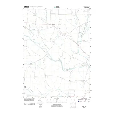
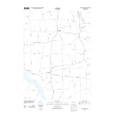
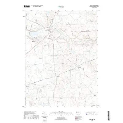
(15)- 2010 Map of New Lebanon, 2010 Print
 2010 New Lebanon2010 Print · USGSCovers Mill Creek Township, including New Vernon Township, New Lebanon, and other nearby areas
 - 2010 Map of Sandy Lake, 2010 Print
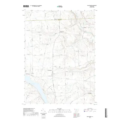
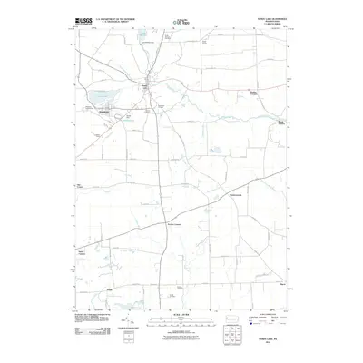 2010 Sandy Lake2010 Print · USGSCovers Mill Creek Township, including Sandy Lake, New Vernon Township, and other nearby areas
 - 2010 Map of Utica, 2010 Print
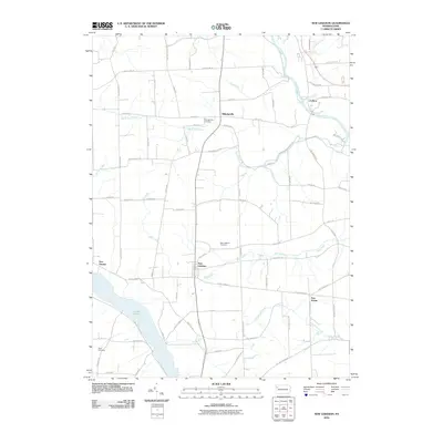
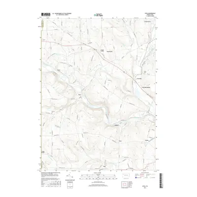
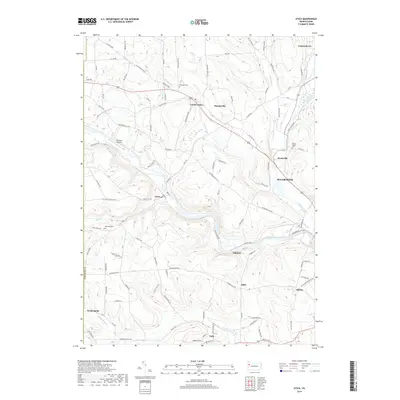
 2010 Utica2010 Print · USGSCovers Mill Creek Township, including Sugarcreek, Polk, and other nearby areas
 - 2013 Map of Utica, 2013 Print
 2013 Utica2013 Print · USGSCovers Mill Creek Township, including Sugarcreek, Polk, and other nearby areas
 - 2013 Map of New Lebanon, 2013 Print
 2013 New Lebanon2013 Print · USGSCovers Mill Creek Township, including New Vernon Township, New Lebanon, and other nearby areas
 - 2013 Map of Sandy Lake, 2013 Print
 2013 Sandy Lake2013 Print · USGSCovers Mill Creek Township, including Sandy Lake, New Vernon Township, and other nearby areas
 - 2016 Map of Sandy Lake, 2016 Print
 2016 Sandy Lake2016 Print · USGSCovers Mill Creek Township, including Sandy Lake, New Vernon Township, and other nearby areas
 - 2016 Map of New Lebanon, 2016 Print
 2016 New Lebanon2016 Print · USGSCovers Mill Creek Township, including New Vernon Township, New Lebanon, and other nearby areas
 - 2016 Map of Utica, 2016 Print
 2016 Utica2016 Print · USGSCovers Mill Creek Township, including Sugarcreek, Polk, and other nearby areas
 - 2019 Map of Sandy Lake, 2019 Print
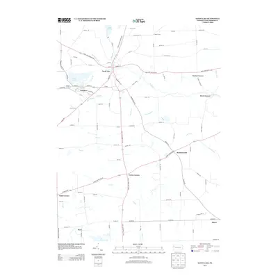
 2019 Sandy Lake2019 Print · USGSCovers Mill Creek Township, including Sandy Lake, New Vernon Township, and other nearby areas
 - 2019 Map of New Lebanon, 2019 Print
 2019 New Lebanon2019 Print · USGSCovers Mill Creek Township, including New Vernon Township, New Lebanon, and other nearby areas
 - 2019 Map of Utica, 2019 Print
 2019 Utica2019 Print · USGSCovers Mill Creek Township, including Sugarcreek, Polk, and other nearby areas
 - 2023 Map of Sandy Lake, 2023 Print
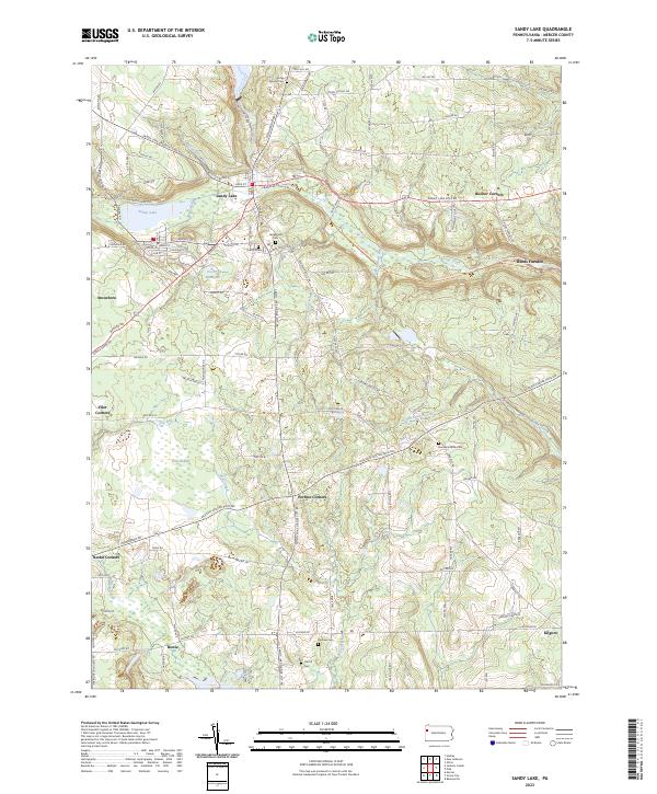 2023 Sandy Lake2023 Print · USGSThe boroughs of Sandy Lake and Stoneboro are shown in this contemporary study of Mercer County's landscape. Researchers can trace rural cemeteries and crossroads like Perrine Corners, Oak Hill Cem, and the path of the Norfolk Southern railroad.
 - 2023 Map of New Lebanon, 2023 Print
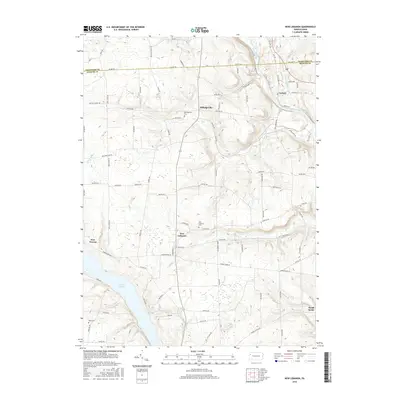
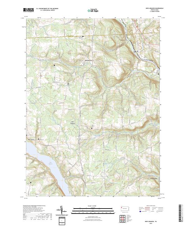 2023 New Lebanon2023 Print · USGSThe rural countryside of Mercer and Crawford counties comes into focus in the early 2020s, revealing a landscape of established family farms and quiet crossroads. Researchers can trace the layout of local burial grounds and settlements from Milledgeville to the banks of Lake Wilhelm and French Creek.
 - 2023 Map of Utica, 2023 Print
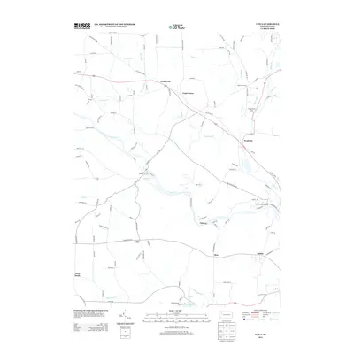
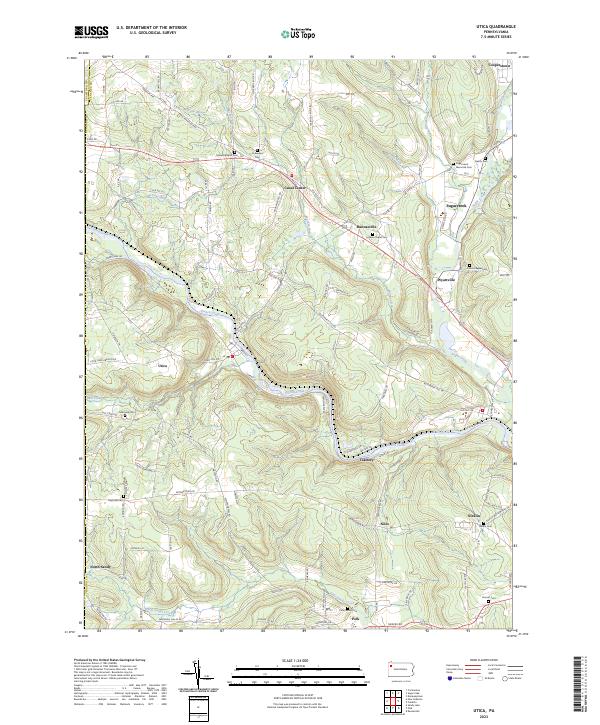 2023 Utica2023 Print · USGSVenango County's river valleys and ridgelines are shown here in modern detail, centered on the historic winding course of French Creek. Genealogists can locate numerous local burial sites like Lupher Chapel Cem and Nicklin Cem among settlements such as Utica and Polk.
End of results
Showing maps 1-15 of 15
Top cities near Mill Creek Township
- Meadville historical maps
- Franklin historical maps
- Sugarcreek historical maps
- Mercer historical maps
- Rockland Township historical maps
- Cochranton historical maps
See more
Top neighborhoods of Mill Creek Township
Frequently asked questions
- What are the different types of historical maps available for Mill Creek Township?
- What is the oldest map of Mill Creek Township?
- Where can I purchase historical maps of Mill Creek Township for my home or office?
- Where can I download high-res historical maps of Mill Creek Township?
- Are there historical topographic maps available for Mill Creek Township?
- Is there historical aerial imagery available for Mill Creek Township?
- Where are historical maps of Mill Creek Township sourced from?