Old Maps of Derry Township, Pennsylvania for Hiking & Exploration
Hike through history with 36 historic maps of Derry Township. Explore old trails, ghost towns, and forgotten backroads — perfect for outdoor adventurers and local explorers.
- Rediscover forgotten places: Map out old mining camps, roads, and footpaths that no longer exist on modern maps.
- Layer with modern tools: Combine with LiDAR or satellite views to plan hikes through historical terrain.
- Made for exploration: Popular among hikers, overlanders, and local history lovers.
Use these maps to find adventure and explore the hidden past of Derry Township.
Derry Township, PA maps
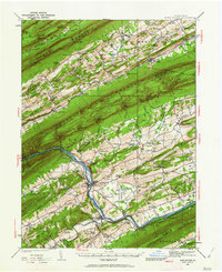
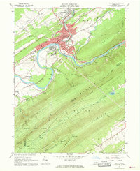
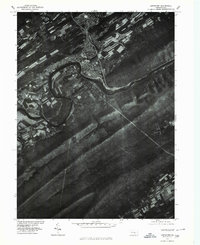
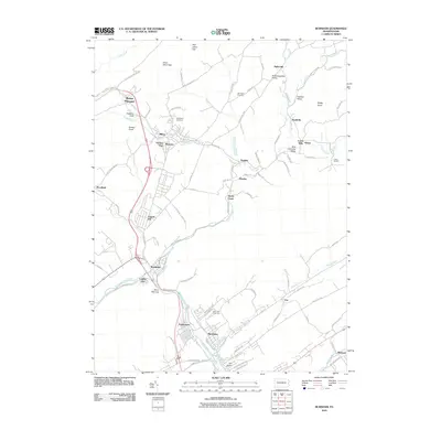
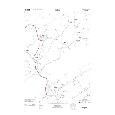
(36)- 1924 Map of Lewistown, 1958 Print
 1924 Lewistown1958 Print · USGSMifflin County settlements line the river and valley floor during the mid-1920s, showing the region's transition from agrarian mills to industrial rail hubs. Researchers can locate vanished rural landmarks such as Union Mills, Emma Chapel, and numerous family-named sites like Strodes Mills.2 unique versions available
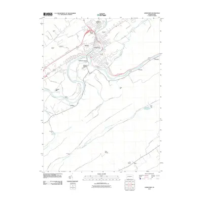
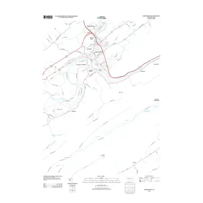
 - 1925 Map of Mifflintown
 1925 Mifflintown1925 Print · USGSJuniata County in the mid-1920s is a landscape of river-oriented towns and remote mountain gaps. Genealogists and historians can trace family roots through numerous local landmarks like Peach Blossom School, Jericho Mills, and the village of Mifflintown.
 - 1927 Map of Lewisburg
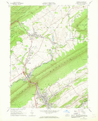
 1927 Lewisburg1927 Print · USGSThe central Pennsylvania landscape in the 1920s is defined here by the winding Juniata River and the industrial hubs of Lewistown and Burnham. Local historians can trace old river crossings like Lafolds Ford or the many rural schoolhouses like Yoder School and Brice School.5 unique versions available
 - 1934 Map of Mifflintown, 1962 Print
 1934 Mifflintown1962 Print · USGSThe Juniata River valley and the ridges of the Pennsylvania heartland appear here in the mid-1930s. Researchers can trace the path of the Pennsylvania RR through Mifflintown or locate family landmarks like Raubs Mills, Seawra Cave, and Church Hill Sch.
 - 1937 Map of Mifflintown
 1937 Mifflintown1937 Print · USGSJuniata County in the mid-1930s shows a landscape of tight-knit valley communities and mountain gaps along the Juniata River. Genealogists and historians can trace family locations near dozens of rural landmarks, including Oakland Mills, Port Royal, and the Old Port Sch.3 unique versions available
 - 1943 Map of Lewistown
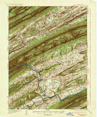
 1943 Lewistown1943 Print · USGSCentral Pennsylvania's rugged ridge-and-valley landscape is documented here during the mid-forties, showing the deep integration of rail lines and mountain gaps. Genealogists can trace family footprints through numerous rural landmarks like Emma Chapel, Mattern Junction, and the McNitt School.
 - 1950 Map of Harrisburg, 1952 Print
 1950 Harrisburg1952 Print · USGSMid-century Central Pennsylvania comes alive through its dense rail networks and river valley settlements during the post-war industrial era. Genealogists and historians can trace family roots through hubs like Harrisburg, locate Carlisle Barracks, or follow the Pennsylvania RR through the Lebanon Valley.
 - 1957 Map of Harrisburg
 1957 Harrisburg1957 Print · USGSMid-century Central Pennsylvania comes into focus as a bustling network of rail, river, and mountain ridges. Genealogists and historians can trace the development of the State Capitol and surrounding hubs like Middletown, Columbia, and Pottsville.7 unique versions available
 - 1959 Map of Mifflintown, 1960 Print
 1959 Mifflintown1960 Print · USGSJuniata County boroughs and riverfront settlements are captured here in the late fifties as modern highways began to parallel the historic rail lines. Researchers can trace family sites at Church Hill Cem, locate the old Drive-in Theater, and explore the layout of Mifflintown and Port Royal.5 unique versions available
 - 1959 Map of Alfarata, 1960 Print
 1959 Alfarata1960 Print · USGSThe central Pennsylvania ridges near the Mifflin-Juniata border are shown here during the late fifties, revealing a landscape of isolated valley settlements and upland state forests. Genealogists and researchers can locate family-named landmarks like Lawyers Ch, Paintersville, and the Old Railroad Grade.4 unique versions available
 - 1961 Map of Harrisburg
 1961 Harrisburg1961 Print · USGSCentral Pennsylvania is shown at a mid-century peak of industrial and military activity, from the Susquehanna water gaps to the fertile Dutch Country. Genealogists and historians can trace the rail corridors of the Pennsylvania RR and find landmarks like Carlisle Barracks or the Anthracite Coal Fields.2 unique versions available
 - 1964 Map of Harrisburg
 1964 Harrisburg1964 Print · USGSCentral Pennsylvania in the mid-fifties reveals a landscape shaped by ridge-and-valley geology and critical Cold War infrastructure. Researchers can trace the massive Indiantown Gap Military Reservation or the rail corridors of the Pennsylvania RR and Reading RR.
 - 1966 Map of Lewistown, 1968 Print
 1966 Lewistown1968 Print · USGSMid-century Mifflin County life is anchored by the rail and river corridors of the Junita River and Penn Central line. Researchers can locate community landmarks such as Black Hospital, Millers Tomb, and the Lind Memorial Cem.3 unique versions available
 - 1966 Map of Burnham, 1968 Print
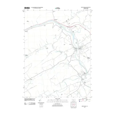
 1966 Burnham1968 Print · USGSThe industrial and agricultural heart of Mifflin County is captured here during the mid-sixties, from the mills of Burnham to the northern reaches of Milroy. Researchers can trace the Penn Central rail network through Mann Narrows or locate family landmarks like Alexander Cavern and Birch Hill Cem.3 unique versions available
 - 1977 Map of Burnham, 1979 Print
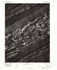
 1977 Burnham1979 Print · USGSMifflin County agriculture and the steep slopes of the Appalachians are captured in high detail in the late seventies. Researchers can trace land use patterns near Kishcoquillas and the wooded banks of Honey Creek beneath Front Mountain.
 - 1977 Map of Mifflintown, 1979 Print
 1977 Mifflintown1979 Print · USGSThe Juniata River valley in the late seventies reveals the tight-knit settlement of Mifflintown and neighboring Mifflin. Genealogists and historians can trace property boundaries along Lost Creek or follow the agricultural strips rising toward Shade Mountain.
 - 1977 Map of Lewistown, 1979 Print
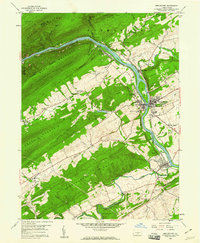
 1977 Lewistown1979 Print · USGSLewistown and the surrounding ridges of Mifflin County are shown in remarkable detail in the late seventies. Researchers can trace the riverfront development along the Juniata River and identify localized landmarks like Fairview and Shade Mountain.
 - 1977 Map of Alfarata, 1979 Print
 1977 Alfarata1979 Print · USGSAlfarata and its surrounding valley floor are captured here during the late seventies, showing the traditional strip-farming patterns of central Pennsylvania. Genealogists and local historians can trace the rural landscape around Alfarata and the path of Jacks Creek between the ridges of Jacks Mountain and Shade Mountain.
 - 1984 Map of State College, 1985 Print
 1984 State College1985 Print · USGSCentral Pennsylvania’s Ridge-and-Valley province is captured here in the mid-eighties, showing the deep connection between the mountain terrain and the region's historic settlements. Researchers can trace the layout of Pennsylvania State University and follow old rail corridors like the Bellefonte Historical RR and Conrail.
 - 1988 Map of State College, 1989 Print
 1988 State College1989 Print · USGSCentral Pennsylvania in the late eighties shows the sprawling influence of Pennsylvania State University against a backdrop of ancient ridges. Genealogists can trace family landmarks like Church Hill Church and the Bellefonte Cemetery across the deep valleys.
 - 2010 Map of Lewistown, 2010 Print
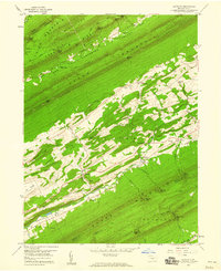
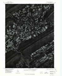
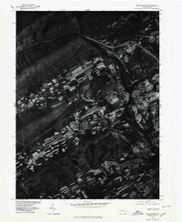
 2010 Lewistown2010 Print · USGSCovers Derry Township, including Lewistown, Granville Township, and other nearby areas
 - 2010 Map of Mifflintown, 2010 Print
 2010 Mifflintown2010 Print · USGSCovers Derry Township, including Granville Township, Decatur Township, and other nearby areas
 - 2010 Map of Burnham, 2010 Print
 2010 Burnham2010 Print · USGSCovers Derry Township, including Granville Township, Decatur Township, and other nearby areas
 - 2013 Map of Burnham, 2013 Print
 2013 Burnham2013 Print · USGSCovers Derry Township, including Granville Township, Decatur Township, and other nearby areas
 - 2013 Map of Lewistown, 2013 Print
 2013 Lewistown2013 Print · USGSCovers Derry Township, including Lewistown, Granville Township, and other nearby areas
Showing maps 1-25 of 36
Top cities near Derry Township
- Lewistown historical maps
- Granville Township historical maps
- Decatur Township historical maps
- Pleasant Gap historical maps
- Saville Township historical maps
- Burnham historical maps
See more
Top neighborhoods of Derry Township
- Vira historical maps
- Maitland historical maps
- Mount Rock historical maps
- Highland Park historical maps
- Yeagertown historical maps
- Blossom Hill historical maps
Frequently asked questions
- What are the different types of historical maps available for Derry Township?
- What is the oldest map of Derry Township?
- Where can I purchase historical maps of Derry Township for my home or office?
- Where can I download high-res historical maps of Derry Township?
- Are there historical topographic maps available for Derry Township?
- Is there historical aerial imagery available for Derry Township?
- Where are historical maps of Derry Township sourced from?