2000s (21st Century) Maps of Barrett Township, Pennsylvania
Explore 15 historic maps of Barrett Township from the 2000s (21st Century). These maps offer a rare glimpse into what life looked like during the 2000s — showing old roads, neighborhoods, homes, and landmarks that have changed or disappeared over time.
Whether you're researching your family's past, planning a metal detecting trip, or studying how Barrett Township's landscape evolved across the 2000s, these high-resolution maps are a powerful tool for exploring the history of this region.
- Focus on a specific era: All maps on this page are from the 2000s, giving you a focused view of this time period.
- See what’s changed: Compare century-old streets, trails, and buildings to today's modern landscape using overlays and satellite layers.
- Research with precision: Use these maps for genealogy, historical research, land use analysis, or educational projects.
- View, download, or print: Maps are fully viewable online in high resolution, and can be downloaded or printed for your own records.
Start exploring Barrett Township's history through authentic maps from the 2000s. This is your window into the past.
Barrett Township, PA maps
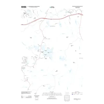
(15)- 2010 Map of Promised Land, 2010 Print
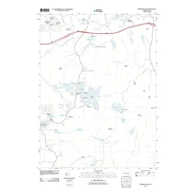 2010 Promised Land2010 Print · USGSCovers Barrett Township, including Blooming Grove Township, Greene Township, and other nearby areas
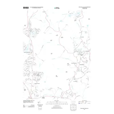
 - 2010 Map of Buck Hill Falls, 2010 Print
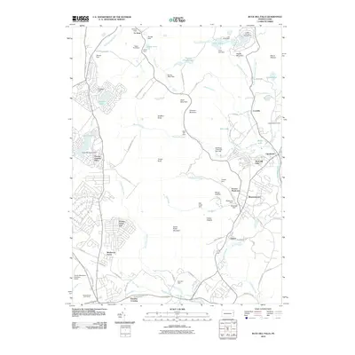 2010 Buck Hill Falls2010 Print · USGSCovers Barrett Township, including Greene Township, Dreher Township, and other nearby areas
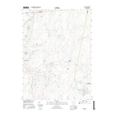
 - 2010 Map of Skytop, 2010 Print
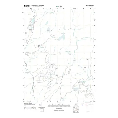 2010 Skytop2010 Print · USGSCovers Barrett Township, including Greene Township, Middle Smithfield Township, and other nearby areas
 - 2013 Map of Skytop, 2013 Print
 2013 Skytop2013 Print · USGSCovers Barrett Township, including Greene Township, Middle Smithfield Township, and other nearby areas
 - 2013 Map of Promised Land, 2013 Print
 2013 Promised Land2013 Print · USGSCovers Barrett Township, including Blooming Grove Township, Greene Township, and other nearby areas
 - 2013 Map of Buck Hill Falls, 2013 Print
 2013 Buck Hill Falls2013 Print · USGSCovers Barrett Township, including Greene Township, Dreher Township, and other nearby areas
 - 2016 Map of Skytop, 2016 Print
 2016 Skytop2016 Print · USGSCovers Barrett Township, including Greene Township, Middle Smithfield Township, and other nearby areas
 - 2016 Map of Promised Land, 2016 Print
 2016 Promised Land2016 Print · USGSCovers Barrett Township, including Blooming Grove Township, Greene Township, and other nearby areas
 - 2016 Map of Buck Hill Falls, 2016 Print
 2016 Buck Hill Falls2016 Print · USGSCovers Barrett Township, including Greene Township, Dreher Township, and other nearby areas
 - 2019 Map of Promised Land, 2019 Print
 2019 Promised Land2019 Print · USGSCovers Barrett Township, including Blooming Grove Township, Greene Township, and other nearby areas
 - 2019 Map of Skytop, 2019 Print
 2019 Skytop2019 Print · USGSCovers Barrett Township, including Greene Township, Middle Smithfield Township, and other nearby areas
 - 2019 Map of Buck Hill Falls, 2019 Print
 2019 Buck Hill Falls2019 Print · USGSCovers Barrett Township, including Greene Township, Dreher Township, and other nearby areas
 - 2023 Map of Promised Land, 2023 Print
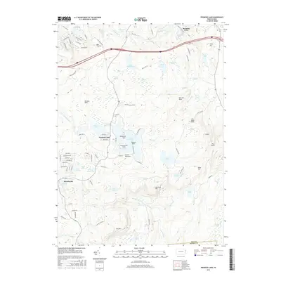
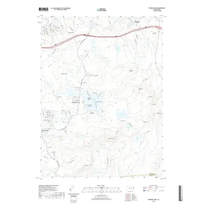
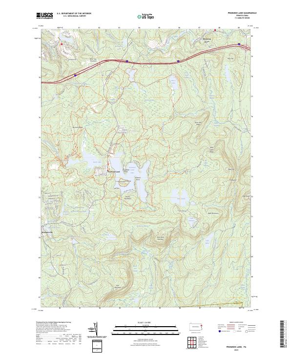 2023 Promised Land2023 Print · USGSThe Pocono Mountains high country comes into focus in this contemporary survey of the lake-rich terrain surrounding Promised Land. Researchers can trace the modern boundaries and trails around Bruce Lake, Lake Laura, and the headwaters of Shohola Creek.
 - 2023 Map of Buck Hill Falls, 2023 Print
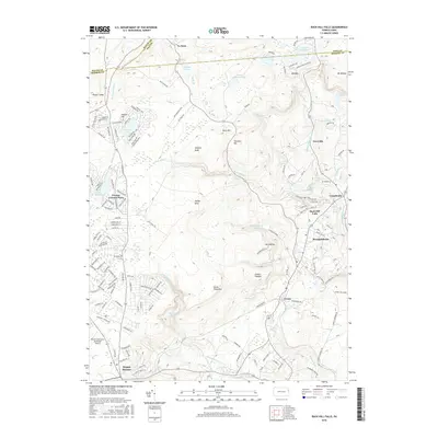
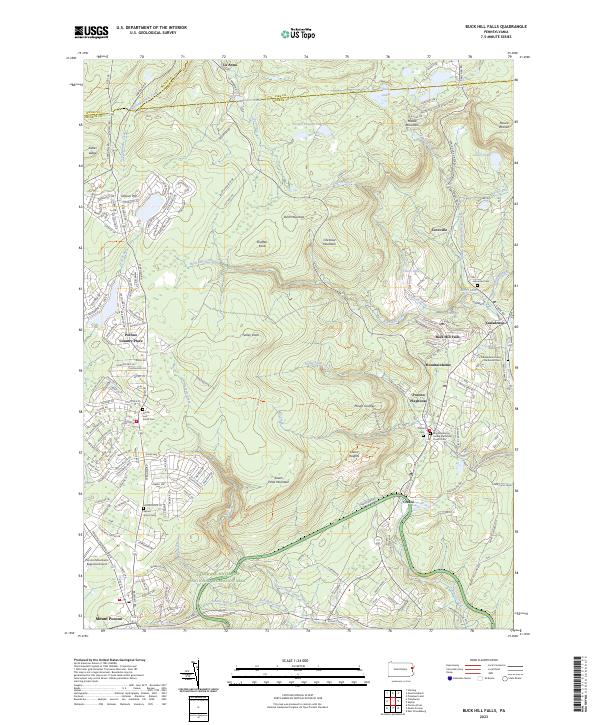 2023 Buck Hill Falls2023 Print · USGSMonroe County enters the twenty-first century as a blend of recreational retreats and deep-rooted Poconos history. Researchers can locate family sites at the Moravian Cem or trace the early resort era through the Pocono Playhouse and Buck Hill Falls.
 - 2023 Map of Skytop, 2023 Print
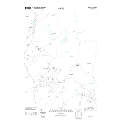
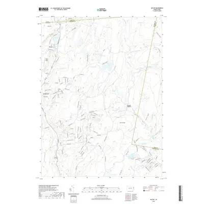
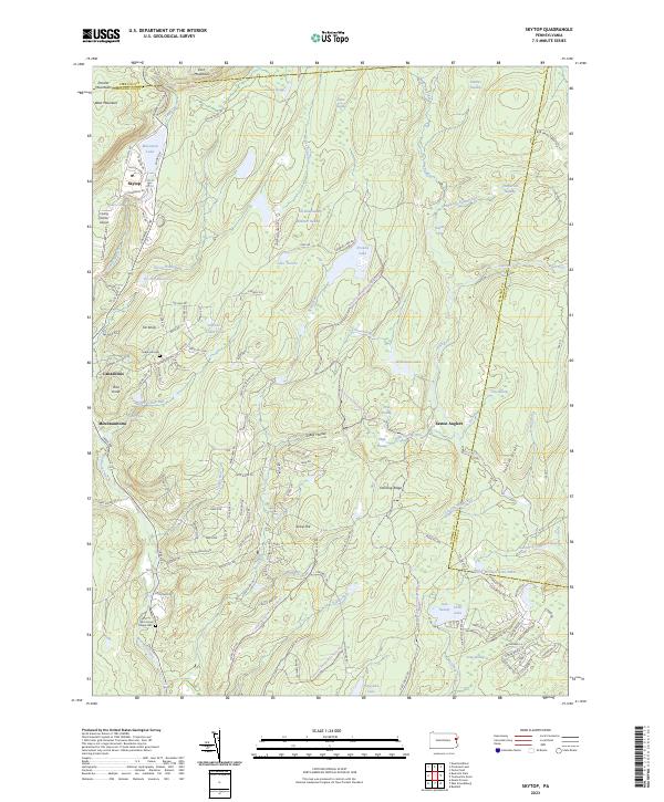 2023 Skytop2023 Print · USGSThe Pocono Mountains plateau near the Monroe and Pike county line is captured here in detail, showing a landscape defined by high-altitude wetlands and resorts. Genealogists and hikers can trace old family burial grounds at Seese Hill Cem or locate landmarks like Flying Dollar Airport and Mountain Lake.
End of results
Showing maps 1-15 of 15
Top cities near Barrett Township
- East Stroudsburg historical maps
- Tobyhanna historical maps
- Blairstown historical maps
- Stroudsburg historical maps
- Lackawaxen Township historical maps
- Blooming Grove Township historical maps
See more
Top neighborhoods of Barrett Township
- Cresco historical maps
- Mountainhome historical maps
- Skytop historical maps
- Canadensis historical maps
- Coveville historical maps
Frequently asked questions
- What are the different types of historical maps available for Barrett Township?
- What is the oldest map of Barrett Township?
- Where can I purchase historical maps of Barrett Township for my home or office?
- Where can I download high-res historical maps of Barrett Township?
- Are there historical topographic maps available for Barrett Township?
- Is there historical aerial imagery available for Barrett Township?
- Where are historical maps of Barrett Township sourced from?