2000s (21st Century) Maps of West Norriton Township, Pennsylvania
Explore 20 historic maps of West Norriton Township from the 2000s (21st Century). These maps offer a rare glimpse into what life looked like during the 2000s — showing old roads, neighborhoods, homes, and landmarks that have changed or disappeared over time.
Whether you're researching your family's past, planning a metal detecting trip, or studying how West Norriton Township's landscape evolved across the 2000s, these high-resolution maps are a powerful tool for exploring the history of this region.
- Focus on a specific era: All maps on this page are from the 2000s, giving you a focused view of this time period.
- See what’s changed: Compare century-old streets, trails, and buildings to today's modern landscape using overlays and satellite layers.
- Research with precision: Use these maps for genealogy, historical research, land use analysis, or educational projects.
- View, download, or print: Maps are fully viewable online in high resolution, and can be downloaded or printed for your own records.
Start exploring West Norriton Township's history through authentic maps from the 2000s. This is your window into the past.
West Norriton Township, PA maps
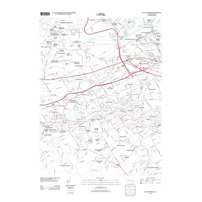
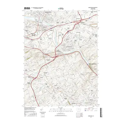
(20)- 2010 Map of Norristown, 2010 Print
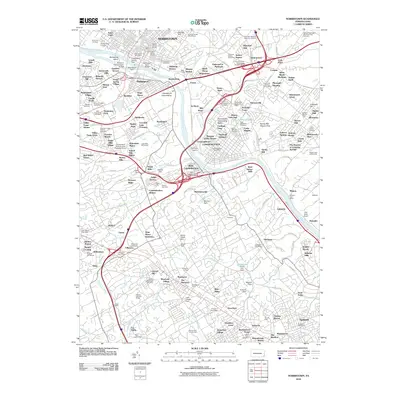 2010 Norristown2010 Print · USGSCovers West Norriton Township, including Philadelphia, Norristown, and other nearby areas
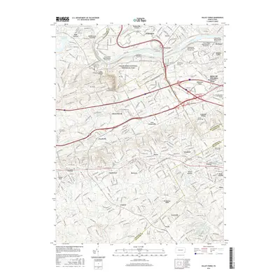
 - 2010 Map of Valley Forge, 2010 Print
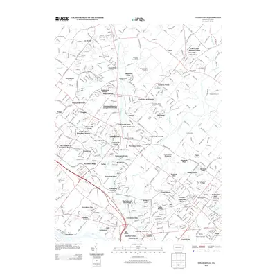
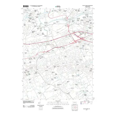 2010 Valley Forge2010 Print · USGSCovers West Norriton Township, including Radnor Township, King of Prussia, and other nearby areas
 - 2010 Map of Lansdale, 2010 Print
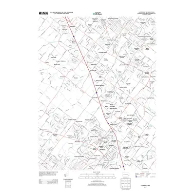
 2010 Lansdale2010 Print · USGSCovers West Norriton Township, including Whitemarsh Township, Lansdale, and other nearby areas
 - 2010 Map of Collegeville, 2010 Print
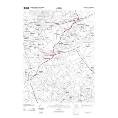
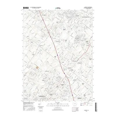
 2010 Collegeville2010 Print · USGSCovers West Norriton Township, including Limerick Township, Phoenixville, and other nearby areas
 - 2013 Map of Lansdale, 2013 Print
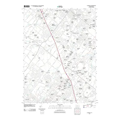
 2013 Lansdale2013 Print · USGSCovers West Norriton Township, including Whitemarsh Township, Lansdale, and other nearby areas
 - 2013 Map of Valley Forge, 2013 Print
 2013 Valley Forge2013 Print · USGSCovers West Norriton Township, including Radnor Township, King of Prussia, and other nearby areas
 - 2013 Map of Collegeville, 2013 Print
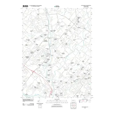
 2013 Collegeville2013 Print · USGSCovers West Norriton Township, including Limerick Township, Phoenixville, and other nearby areas
 - 2013 Map of Norristown, 2013 Print
 2013 Norristown2013 Print · USGSCovers West Norriton Township, including Philadelphia, Norristown, and other nearby areas
 - 2016 Map of Lansdale, 2016 Print
 2016 Lansdale2016 Print · USGSCovers West Norriton Township, including Whitemarsh Township, Lansdale, and other nearby areas
 - 2016 Map of Collegeville, 2016 Print
 2016 Collegeville2016 Print · USGSCovers West Norriton Township, including Limerick Township, Phoenixville, and other nearby areas
 - 2016 Map of Norristown, 2016 Print
 2016 Norristown2016 Print · USGSCovers West Norriton Township, including Philadelphia, Norristown, and other nearby areas
 - 2016 Map of Valley Forge, 2016 Print
 2016 Valley Forge2016 Print · USGSCovers West Norriton Township, including Radnor Township, King of Prussia, and other nearby areas
 - 2019 Map of Collegeville, 2019 Print
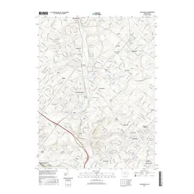
 2019 Collegeville2019 Print · USGSCovers West Norriton Township, including Limerick Township, Phoenixville, and other nearby areas
 - 2019 Map of Norristown, 2019 Print
 2019 Norristown2019 Print · USGSCovers West Norriton Township, including Philadelphia, Norristown, and other nearby areas
 - 2019 Map of Lansdale, 2019 Print
 2019 Lansdale2019 Print · USGSCovers West Norriton Township, including Whitemarsh Township, Lansdale, and other nearby areas
 - 2019 Map of Valley Forge, 2019 Print
 2019 Valley Forge2019 Print · USGSCovers West Norriton Township, including Radnor Township, King of Prussia, and other nearby areas
 - 2023 Map of Valley Forge, 2023 Print
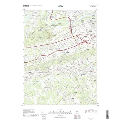
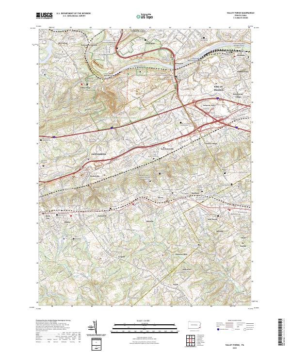 2023 Valley Forge2023 Print · USGSThe Main Line and Valley Forge area are documented here in the early twenty-first century, showing a dense landscape of historic burial grounds and modern suburbs. Genealogists can trace family sites like the Norris Family Burial Ground and Old Eagle Burying Ground near Wayne and Paoli.
 - 2023 Map of Norristown, 2023 Print
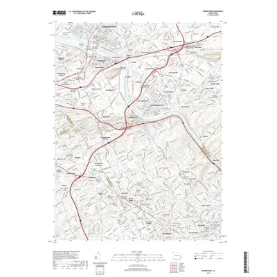
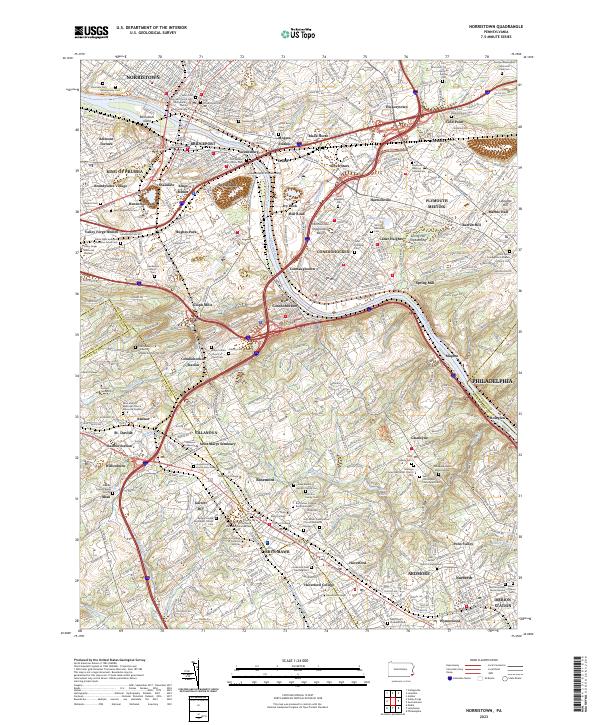 2023 Norristown2023 Print · USGSThe Schuylkill River corridor thrives in this contemporary look at Montgomery County's historic river towns. Researchers can trace family roots at Montgomery Cem or explore the campuses of Villanova University and Bryn Mawr College.
 - 2023 Map of Lansdale, 2023 Print
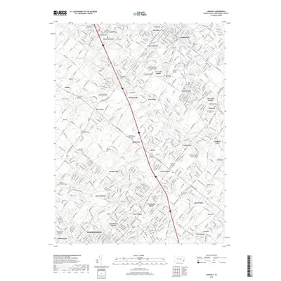
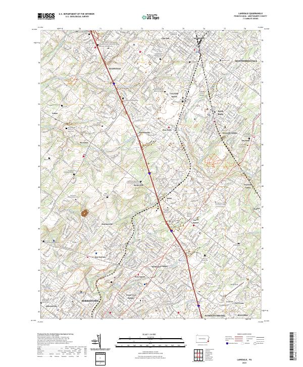 2023 Lansdale2023 Print · USGSLansdale and the Montgomery County suburbs are shown in extensive detail as they appeared in the early 2020s. Genealogists and local historians can trace family ties through dozens of landmarks like Saint Stanislaus Cem, Gwynedd Heights, and the Union Meeting House Cem.
 - 2023 Map of Collegeville, 2023 Print
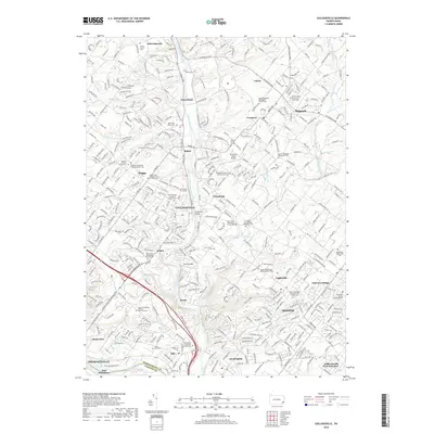
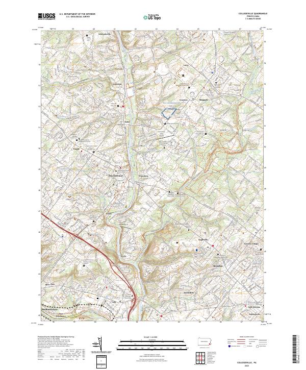 2023 Collegeville2023 Print · USGSThe Perkiomen Valley comes alive in this detailed look at modern Montgomery County, where suburban growth meets centuries of religious heritage. Trace the grounds of Ursinus College or locate ancestral sites like the Keelys Church Cem and Graterford Prison.
End of results
Showing maps 1-20 of 20
Top cities near West Norriton Township
- Philadelphia historical maps
- Upper Darby historical maps
- Abington Township historical maps
- Cheltenham Township historical maps
- Norristown historical maps
- Radnor Township historical maps
See more
Top neighborhoods of West Norriton Township
Frequently asked questions
- What are the different types of historical maps available for West Norriton Township?
- What is the oldest map of West Norriton Township?
- Where can I purchase historical maps of West Norriton Township for my home or office?
- Where can I download high-res historical maps of West Norriton Township?
- Are there historical topographic maps available for West Norriton Township?
- Is there historical aerial imagery available for West Norriton Township?
- Where are historical maps of West Norriton Township sourced from?