2000s (21st Century) Maps of Forks Township, Pennsylvania
Explore 20 historic maps of Forks Township from the 2000s (21st Century). These maps offer a rare glimpse into what life looked like during the 2000s — showing old roads, neighborhoods, homes, and landmarks that have changed or disappeared over time.
Whether you're researching your family's past, planning a metal detecting trip, or studying how Forks Township's landscape evolved across the 2000s, these high-resolution maps are a powerful tool for exploring the history of this region.
- Focus on a specific era: All maps on this page are from the 2000s, giving you a focused view of this time period.
- See what’s changed: Compare century-old streets, trails, and buildings to today's modern landscape using overlays and satellite layers.
- Research with precision: Use these maps for genealogy, historical research, land use analysis, or educational projects.
- View, download, or print: Maps are fully viewable online in high resolution, and can be downloaded or printed for your own records.
Start exploring Forks Township's history through authentic maps from the 2000s. This is your window into the past.
Forks Township, PA maps
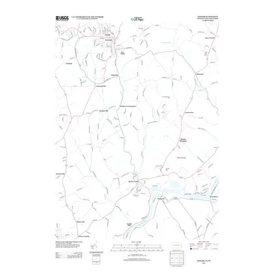
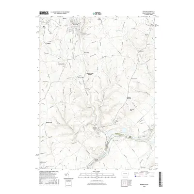
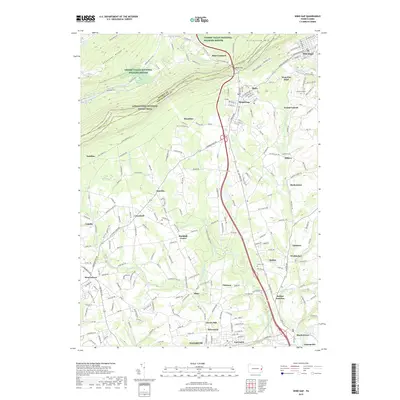
(20)- 2010 Map of Wind Gap, 2010 Print
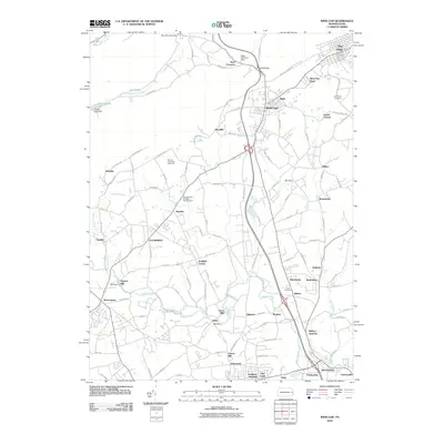 2010 Wind Gap2010 Print · USGSCovers Forks Township, including Pen Argyl, Wind Gap, and other nearby areas
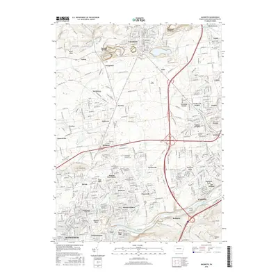
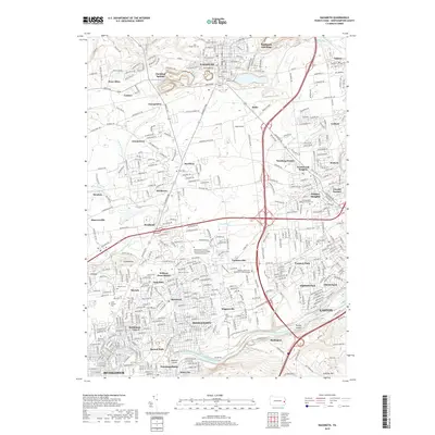
 - 2010 Map of Nazareth, 2010 Print
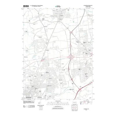 2010 Nazareth2010 Print · USGSCovers Forks Township, including Bethlehem, Easton, and other nearby areas
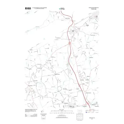
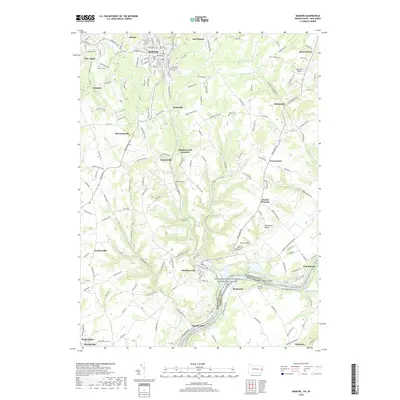
 - 2011 Map of Bangor, 2011 Print
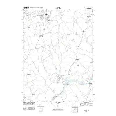 2011 Bangor2011 Print · USGSCovers Forks Township, including Bangor, Harmony Township, and other nearby areas
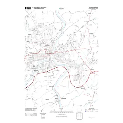
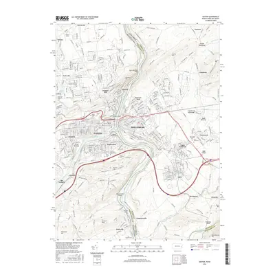
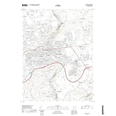
 - 2011 Map of Easton, 2011 Print
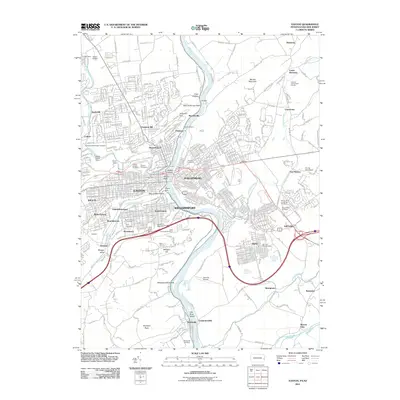 2011 Easton2011 Print · USGSCovers Forks Township, including Easton, Phillipsburg, and other nearby areas
 - 2013 Map of Bangor, 2013 Print
 2013 Bangor2013 Print · USGSCovers Forks Township, including Bangor, Harmony Township, and other nearby areas
 - 2013 Map of Wind Gap, 2013 Print
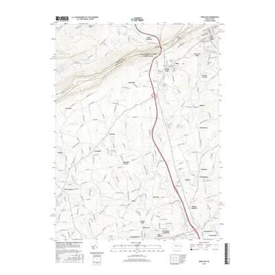
 2013 Wind Gap2013 Print · USGSCovers Forks Township, including Pen Argyl, Wind Gap, and other nearby areas
 - 2013 Map of Easton, 2013 Print
 2013 Easton2013 Print · USGSCovers Forks Township, including Easton, Phillipsburg, and other nearby areas
 - 2013 Map of Nazareth, 2013 Print
 2013 Nazareth2013 Print · USGSCovers Forks Township, including Bethlehem, Easton, and other nearby areas
 - 2016 Map of Nazareth, 2016 Print
 2016 Nazareth2016 Print · USGSCovers Forks Township, including Bethlehem, Easton, and other nearby areas
 - 2016 Map of Bangor, 2016 Print
 2016 Bangor2016 Print · USGSCovers Forks Township, including Bangor, Harmony Township, and other nearby areas
 - 2016 Map of Easton, 2016 Print
 2016 Easton2016 Print · USGSCovers Forks Township, including Easton, Phillipsburg, and other nearby areas
 - 2016 Map of Wind Gap, 2016 Print
 2016 Wind Gap2016 Print · USGSCovers Forks Township, including Pen Argyl, Wind Gap, and other nearby areas
 - 2019 Map of Bangor, 2019 Print
 2019 Bangor2019 Print · USGSCovers Forks Township, including Bangor, Harmony Township, and other nearby areas
 - 2019 Map of Nazareth, 2019 Print
 2019 Nazareth2019 Print · USGSCovers Forks Township, including Bethlehem, Easton, and other nearby areas
 - 2019 Map of Easton, 2019 Print
 2019 Easton2019 Print · USGSCovers Forks Township, including Easton, Phillipsburg, and other nearby areas
 - 2019 Map of Wind Gap, 2019 Print
 2019 Wind Gap2019 Print · USGSCovers Forks Township, including Pen Argyl, Wind Gap, and other nearby areas
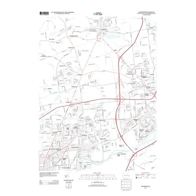
 - 2023 Map of Easton, 2023 Print
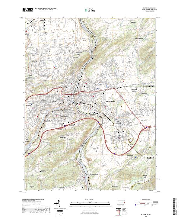 2023 Easton2023 Print · USGSEaston and Phillipsburg stand at the river's edge in this contemporary survey of the Lehigh Valley border. Genealogists and local researchers can trace numerous family and religious landmarks, including Saint Bernards Roman Catholic Cem, Lafayette College, and the sprawling Easton Cem.
 - 2023 Map of Bangor, 2023 Print
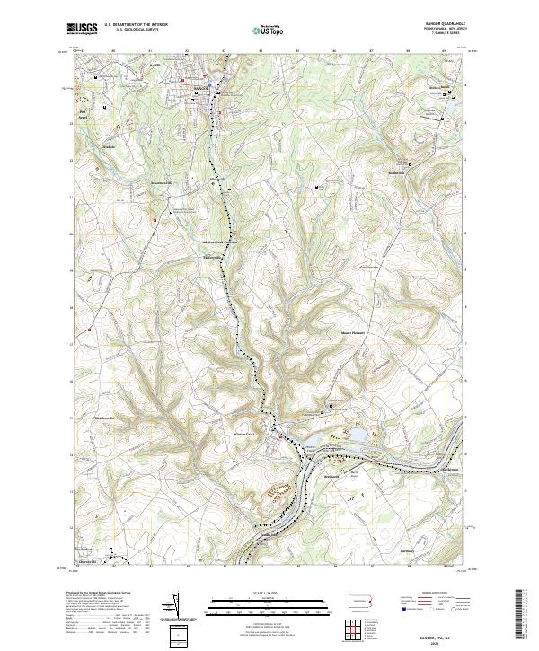 2023 Bangor2023 Print · USGSThe Slate Belt and Delaware River valley come into sharp focus in this recent survey of the Pennsylvania-New Jersey border. Local historians can trace the legacy of river crossings and religious life through landmarks like Martins Creek Ferry, Church Hill Cem, and Sandts Eddy.
 - 2023 Map of Nazareth, 2023 Print
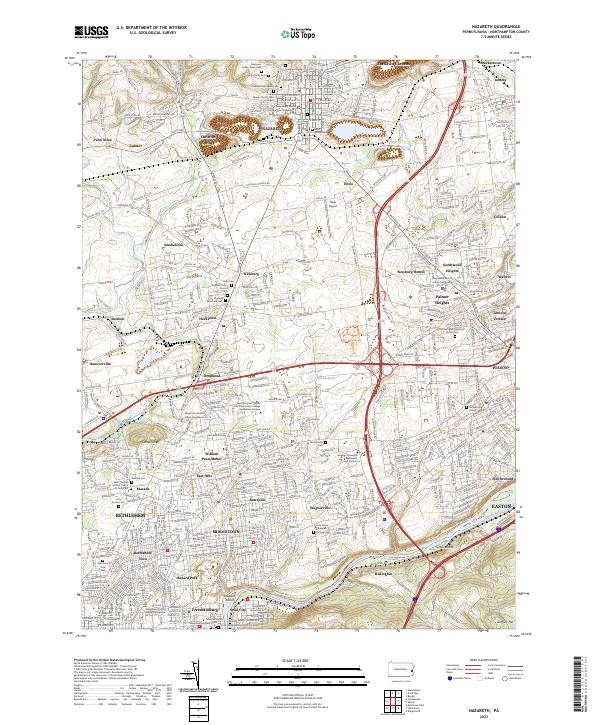 2023 Nazareth2023 Print · USGSNorthampton County appears in high detail during its twenty-first-century expansion, from the streets of Nazareth to the banks of the Lehigh River. Trace the local history of communities like Christian Springs, Hecktown, and Butztown alongside the Nazareth Moravian Cemetery.
 - 2023 Map of Wind Gap, 2023 Print
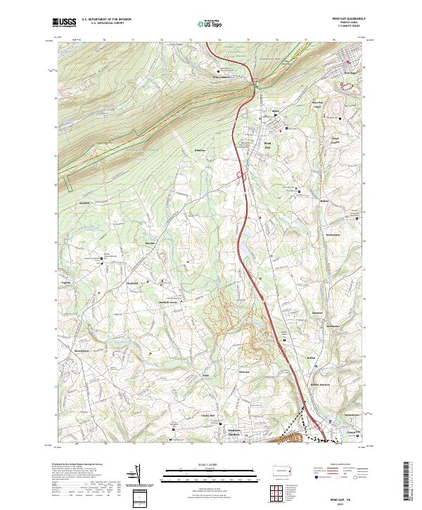 2023 Wind Gap2023 Print · USGSThe Lehigh Valley gap and surrounding townships are shown here as they appear in the early 2020s. Genealogists and historians can locate dozens of burial sites and churches, including Ross Common Manor Graveyard and Belfast Union Cem.
End of results
Showing maps 1-20 of 20
Top cities near Forks Township
- Allentown historical maps
- Bethlehem historical maps
- Easton historical maps
- Phillipsburg historical maps
- Lower Saucon Township historical maps
- Hanover Township historical maps
See more
Top neighborhoods of Forks Township
- Shimerville historical maps
- Uhlers Crossing historical maps
- Walters historical maps
- Shernerville historical maps
- Coilton historical maps
- Churchville historical maps
See more
Frequently asked questions
- What are the different types of historical maps available for Forks Township?
- What is the oldest map of Forks Township?
- Where can I purchase historical maps of Forks Township for my home or office?
- Where can I download high-res historical maps of Forks Township?
- Are there historical topographic maps available for Forks Township?
- Is there historical aerial imagery available for Forks Township?
- Where are historical maps of Forks Township sourced from?