2000s (21st Century) Maps of Northeast Madison Township, Pennsylvania
Explore 16 historic maps of Northeast Madison Township from the 2000s (21st Century). These maps offer a rare glimpse into what life looked like during the 2000s — showing old roads, neighborhoods, homes, and landmarks that have changed or disappeared over time.
Whether you're researching your family's past, planning a metal detecting trip, or studying how Northeast Madison Township's landscape evolved across the 2000s, these high-resolution maps are a powerful tool for exploring the history of this region.
- Focus on a specific era: All maps on this page are from the 2000s, giving you a focused view of this time period.
- See what’s changed: Compare century-old streets, trails, and buildings to today's modern landscape using overlays and satellite layers.
- Research with precision: Use these maps for genealogy, historical research, land use analysis, or educational projects.
- View, download, or print: Maps are fully viewable online in high resolution, and can be downloaded or printed for your own records.
Start exploring Northeast Madison Township's history through authentic maps from the 2000s. This is your window into the past.
Northeast Madison Township, PA maps
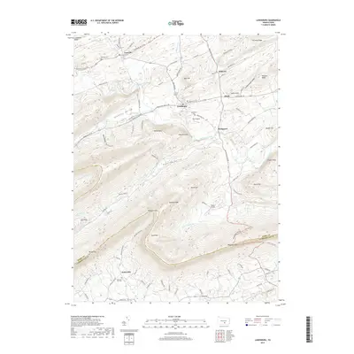
(16)- 2010 Map of Landisburg, 2010 Print
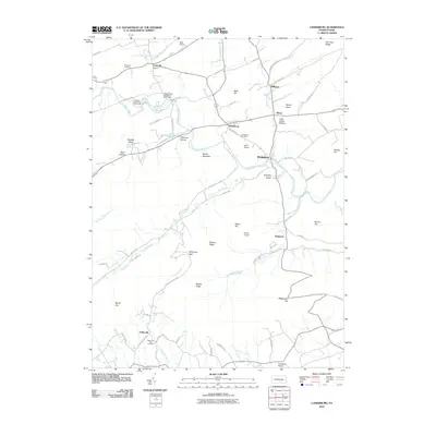 2010 Landisburg2010 Print · USGSCovers Northeast Madison Township, including Saville Township, Landisburg, and other nearby areas
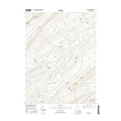
 - 2010 Map of McCoysville, 2010 Print
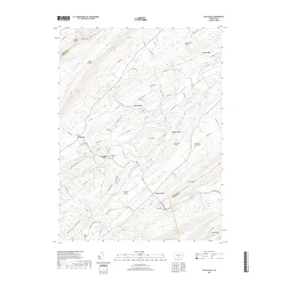
 2010 McCoysville2010 Print · USGSCovers Northeast Madison Township, including Spruce Hill Township, Jackson Township, and other nearby areas
 - 2010 Map of Spruce Hill, 2010 Print
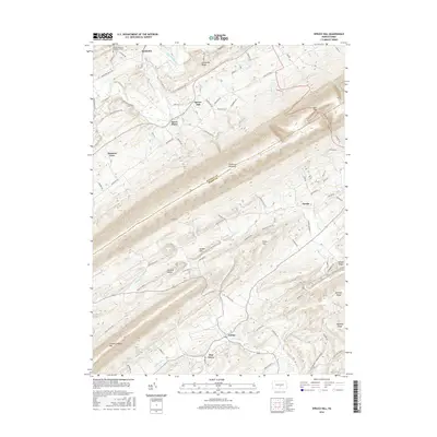
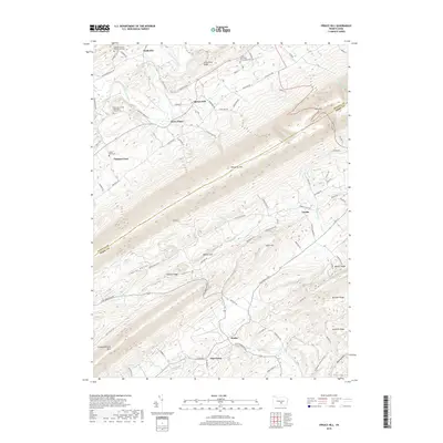
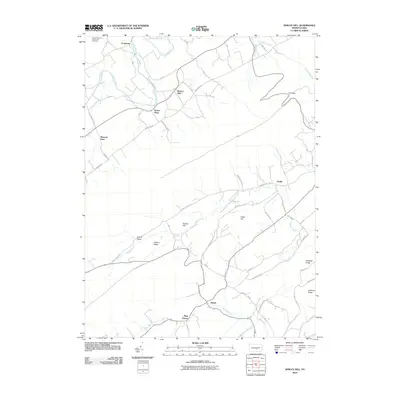 2010 Spruce Hill2010 Print · USGSCovers Northeast Madison Township, including Saville Township, Spruce Hill Township, and other nearby areas
 - 2013 Map of Spruce Hill, 2013 Print
 2013 Spruce Hill2013 Print · USGSCovers Northeast Madison Township, including Saville Township, Spruce Hill Township, and other nearby areas
 - 2013 Map of McCoysville, 2013 Print
 2013 McCoysville2013 Print · USGSCovers Northeast Madison Township, including Spruce Hill Township, Jackson Township, and other nearby areas
 - 2013 Map of Landisburg, 2013 Print
 2013 Landisburg2013 Print · USGSCovers Northeast Madison Township, including Saville Township, Landisburg, and other nearby areas
 - 2016 Map of Landisburg, 2016 Print
 2016 Landisburg2016 Print · USGSCovers Northeast Madison Township, including Saville Township, Landisburg, and other nearby areas
 - 2016 Map of Spruce Hill, 2016 Print
 2016 Spruce Hill2016 Print · USGSCovers Northeast Madison Township, including Saville Township, Spruce Hill Township, and other nearby areas
 - 2016 Map of McCoysville, 2016 Print
 2016 McCoysville2016 Print · USGSCovers Northeast Madison Township, including Spruce Hill Township, Jackson Township, and other nearby areas
 - 2019 Map of Spruce Hill, 2019 Print
 2019 Spruce Hill2019 Print · USGSCovers Northeast Madison Township, including Saville Township, Spruce Hill Township, and other nearby areas
 - 2019 Map of Landisburg, 2019 Print
 2019 Landisburg2019 Print · USGSCovers Northeast Madison Township, including Saville Township, Landisburg, and other nearby areas
 - 2019 Map of McCoysville, 2019 Print
 2019 McCoysville2019 Print · USGSCovers Northeast Madison Township, including Spruce Hill Township, Jackson Township, and other nearby areas
 - 2023 Map of Spruce Hill, 2023 Print
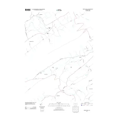
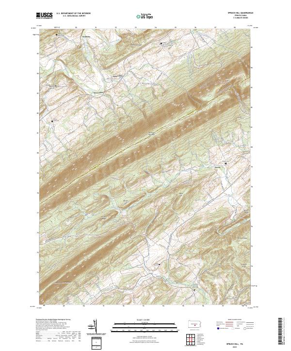 2023 Spruce Hill2023 Print · USGSThe Juniata and Perry County borderlands are defined here by high ridges and fertile valleys in the early 2020s. Genealogists can trace family roots at the Lower Tuscarora Church and Cem, McKee Graveyard, and the settlement of Academia.
 - 2023 Map of Andersonburg, 2023 Print
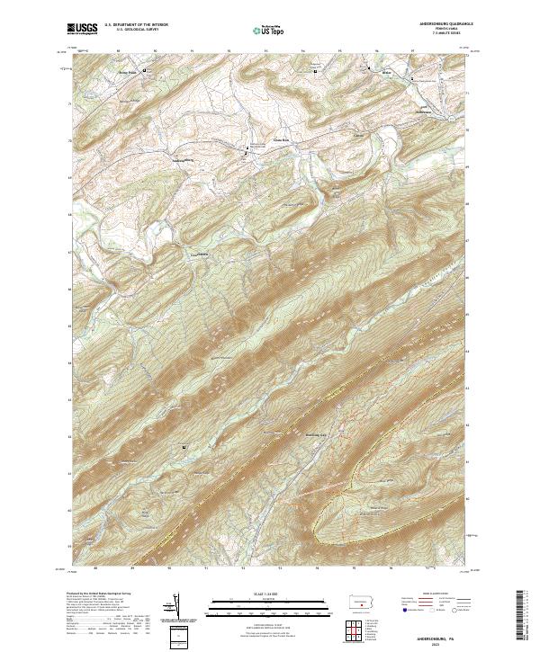 2023 Andersonburg2023 Print · USGSPerry County's rural ridges and creek valleys are documented here in the modern era, showing the enduring settlement patterns of these central Pennsylvania gaps. Researchers can locate several family and church landmarks including Fort Robertson, Saint Paul Cem, and the Ridgeview Amish Cem.
 - 2023 Map of Landisburg, 2023 Print
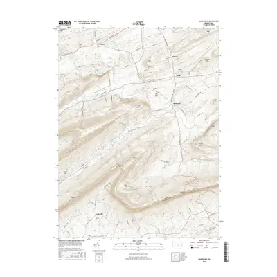
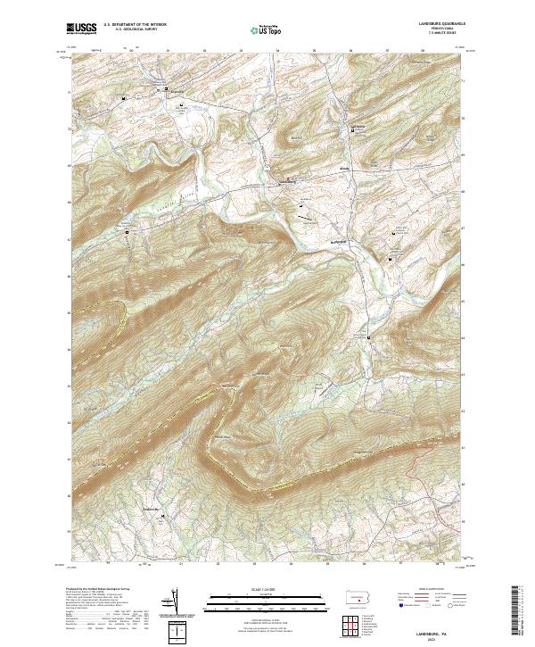 2023 Landisburg2023 Print · USGSThe valleys and ridges of Perry County are revealed here in recent detail, centered on the historic borough of Landisburg. Researchers can trace local lineage through numerous sites like Lebanon Lutheran and Reformed Churchyard Cem and the Perry County Home Cem.
 - 2023 Map of McCoysville, 2023 Print
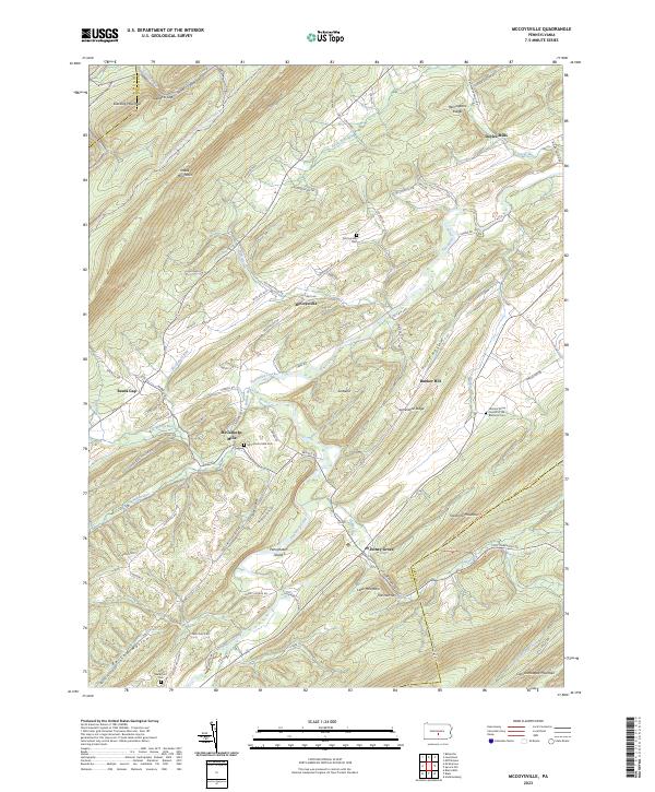 2023 McCoysville2023 Print · USGSJuniata County in the 2020s remains a landscape of traditional mountain valleys and rural crossroads. Local researchers can locate family sites at the McCullochs Mills Cem, trace the waters of Tuscarora Creek, or explore the heights of Tuscarora Mountain.
End of results
Showing maps 1-16 of 16
Top cities near Northeast Madison Township
- Carlisle historical maps
- Lewistown historical maps
- Granville Township historical maps
- Decatur Township historical maps
- Saville Township historical maps
- Centre historical maps
See more
Top neighborhoods of Northeast Madison Township
- Kistler historical maps
- Pine Grove historical maps
- Fort Robinson historical maps
- Bixler historical maps
Frequently asked questions
- What are the different types of historical maps available for Northeast Madison Township?
- What is the oldest map of Northeast Madison Township?
- Where can I purchase historical maps of Northeast Madison Township for my home or office?
- Where can I download high-res historical maps of Northeast Madison Township?
- Are there historical topographic maps available for Northeast Madison Township?
- Is there historical aerial imagery available for Northeast Madison Township?
- Where are historical maps of Northeast Madison Township sourced from?