Old Maps of East Oak Lane, Philadelphia for Genealogy
Trace your family roots with 28 historic maps of East Oak Lane. These high-res maps reveal old neighborhoods, homesites, landmarks, and streets — helping you uncover where your ancestors lived and how the area evolved over time.
- Explore historic neighborhoods: Identify where your relatives may have lived in the 1800s or 1900s.
- Compare maps over time: Trace the changes in streets, buildings, and landmarks for multi-generational research.
- Perfect for genealogy & ancestry research: Used by family historians and researchers to map out lineage and migration.
These maps are an incredible resource for exploring your personal connection to East Oak Lane's past.
East Oak Lane, Philadelphia maps
(28)- 1893 Map of Germantown
 1893 Germantown1893 Print · USGSThe outskirts of Philadelphia and Montgomery County are shown in the late nineteenth century as rail lines transformed rural townships. Genealogists and historians can trace old property lines and depots from Warminster P.O. to the U.S. Arsenal.
 - 1894 Map of Germantown, 1961 Print
 1894 Germantown1961 Print · USGSThe northern Philadelphia suburbs and rural Montgomery County are captured here just as the railroad was transforming local life. Genealogists can trace family names and old property lines across Germantown, Hatboro, and the historic U.S. Arsenal.
 - 1896 Map of Germantown
 1896 Germantown1896 Print · USGSThe northern reaches of Philadelphia and lower Bucks County are shown in the late nineteenth century as rail lines transformed rural villages into bustling suburbs. Trace early transport routes along Street Road or locate family landmarks near Hatboro, Ambler, and the U. S. Arsenal.
 - 1899 Map of Germantown
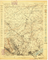 1899 Germantown1899 Print · USGSPhiladelphia and its northern townships are documented in the late nineteenth century as the suburban rail network expanded. Genealogists can trace family roots through historic settlements like Hatboro, Ambler, and the neighborhood of Chestnut Hill.9 unique versions available
 - 1942 Map of Norristown
 1942 Norristown1942 Print · USGSSoutheastern Pennsylvania at the onset of World War II shows a landscape of busy industrial river towns and expanding rail suburbs. Genealogists and historians can trace the early transit networks connecting Norristown, Doylestown, and the riverfront at New Hope.
 - 1944 Map of Newark, 1971 Print
 1944 Newark1971 Print · USGSThe industrial corridor from Philadelphia to New York was in a period of massive transition during the mid-forties. Genealogists and researchers can trace the rail lines of the Lehigh Valley RR, locate military installations like Picatinny Arsenal, and explore the early sprawl near Levittown.5 unique versions available
 - 1949 Map of Newark
 1949 Newark1949 Print · USGSThe industrial corridor between Philadelphia and New York comes alive in this post-war survey. Genealogists and historians can trace the massive rail networks of the Reading Railroad and locate major installations like Fort Dix or Picatinny Arsenal.2 unique versions available
 - 1950 Map of Frankford, 1953 Print
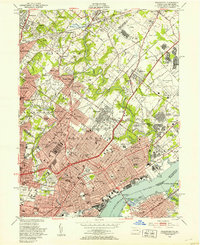 1950 Frankford1953 Print · USGSPhiladelphia in the mid-twentieth century shows a bustling industrial and institutional corridor along the Delaware River. Genealogists and historians can trace neighborhood growth through local landmarks like Montefiore Cemetery, Frankford High Sch, and the historic Frankford Arsenal.2 unique versions available
 - 1952 Map of Germantown, 1954 Print
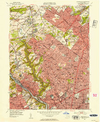 1952 Germantown1954 Print · USGSNorthwest Philadelphia and its Montgomery County suburbs are shown here in the early fifties as the region's rail-and-park network reached its peak maturity. Genealogists and local historians can locate neighborhood landmarks like Wayne Junction, Beaver College, and the many historic burial grounds including Holy Sepulchre Cemetery.2 unique versions available
 - 1956 Map of Newark
 1956 Newark1956 Print · USGSThe industrial heart of the Mid-Atlantic is captured here at the dawn of the highway era, tracing the dense corridors between Newark and Philadelphia. Genealogists and local historians can map the rail networks of the Reading RR or locate mid-century military life at Fort Dix Military Reservation.2 unique versions available
 - 1957 Map of Newark
 1957 Newark1957 Print · USGSThe industrial and military heart of the Mid-Atlantic is mapped during its post-war suburban boom. Genealogists and historians can trace the intricate rail corridors of the Reading Railroad and locate key landmarks from Princeton University to Fort Hancock.
 - 1960 Map of Newark
 1960 Newark1960 Print · USGSThe industrial heart of the Mid-Atlantic is shown at mid-century, stretching from the dense urban centers of Newark and Philadelphia to the Blue Mountain ridges. Researchers can trace historic rail lines, coastal defenses at Fort Hancock, and the riverfront growth of Trenton and Easton.3 unique versions available
 - 1964 Map of Newark
 1964 Newark1964 Print · USGSGreater New Jersey and eastern Pennsylvania appear at the peak of their industrial and rail-centered development in the mid-sixties. Genealogists and historians can trace the paths of the Pennsylvania RR, identify mid-century landmarks like CAMP KILMER, or follow the Schuylkill River through READING.2 unique versions available
 - 1967 Map of Germantown, 1969 Print
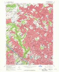 1967 Germantown1969 Print · USGSPhiladelphia's northern neighborhoods and the adjacent Montgomery County suburbs are shown in detail during the late sixties. Genealogists and historians can trace family locations near Germantown, locate burials in Holy Sepulchre Cemetery, or follow the rail lines through Chestnut Hill.4 unique versions available
 - 1967 Map of Frankford, 1970 Print
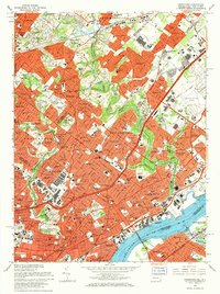 1967 Frankford1970 Print · USGSPhiladelphia's northeast reaches and the riverfront are captured here in the late sixties as urban density met heavy industry. Researchers can trace the massive Frankford Arsenal site, family plots in William Penn Cemetery, and the busy Reading Railroad corridor.5 unique versions available
 - 1984 Map of Reading, 1986 Print
 1984 Reading1986 Print · USGSSoutheastern Pennsylvania in the mid-eighties shows a landscape of established industrial hubs and rapid suburban expansion. Trace local history through landmarks like Valley Forge National Historical Park, the Willow Grove Naval Air Station, and Kutztown University.2 unique versions available
 - 1997 Map of Germantown, 1998 Print
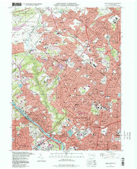 1997 Germantown1998 Print · USGSNorthwest Philadelphia and its Montgomery County suburbs are shown in the late twentieth century as a dense network of rail-linked neighborhoods. Researchers can trace family history through massive burial grounds like West Laurel Hill Cemetery or locate local landmarks such as Germantown Hospital.
 - 1997 Map of Frankford, 1998 Print
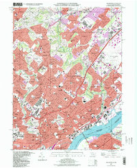 1997 Frankford1998 Print · USGSNortheast Philadelphia and its bordering Montgomery County suburbs are shown in high detail during the late nineties. Genealogists and local historians can trace legacy sites like Montefiore Cemetery, the Aviation Supply Office, and neighborhoods from Rockledge to Torresdale.
 - 2010 Map of Germantown, 2010 Print
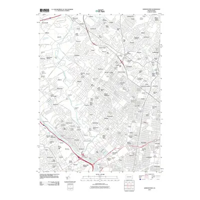 2010 Germantown2010 Print · USGSNorthwest Philadelphia and its storied suburbs are shown here in the early twenty-first century as a landscape of dense neighborhoods and sprawling parklands. Researchers can trace family sites at West Laurel Hill Cemetery, visit La Salle University, or locate the historic Tastykake landmark.
 - 2011 Map of Frankford, 2011 Print
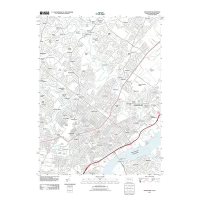 2011 Frankford2011 Print · USGSNortheast Philadelphia and its bordering suburbs are shown here just after the turn of the millennium. Genealogists can trace family sites at Lawnview Memorial Park and Oakland Cemetery, while historians can locate the Tacony-Palmyra Bridge and North Philadelphia Airport.
 - 2013 Map of Germantown, 2013 Print
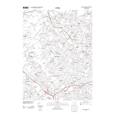 2013 Germantown2013 Print · USGSPhiladelphia's northern suburbs and the Schuylkill waterfront are shown here in the early twenty-first century as a mature landscape of rail lines and reservoirs. You can trace the SEPTA corridors through Wyncote or locate historic sites like the West Laurel Hill Cem and Manayunk Canal.
 - 2013 Map of Frankford, 2013 Print
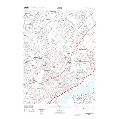 2013 Frankford2013 Print · USGSNortheast Philadelphia and its bordering suburbs are shown here in the early twenty-first century, spanning from the Delaware riverfront to the Montgomery County line. Researchers can locate the Holmesburg Junction rail hub and landmarks like Frankford Stadium or Eightmile Point.
 - 2016 Map of Germantown, 2016 Print
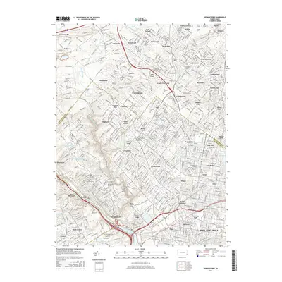 2016 Germantown2016 Print · USGSThe northwestern Philadelphia suburbs and the Wissahickon valley are shown here in the mid-2010s, capturing a landscape of historic neighborhoods and massive green spaces. Researchers can trace the grounds of West Laurel Hill Cem, the Philadelphia National Cem, and the campus of Arcadia University.
 - 2016 Map of Frankford, 2016 Print
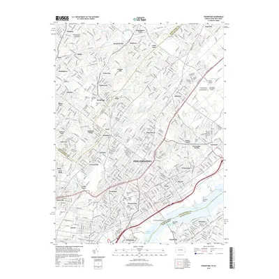 2016 Frankford2016 Print · USGSPhiladelphia and its northeastern suburbs are shown here in the mid-2010s, capturing the dense residential and industrial fabric of the region. Genealogists and historians can trace numerous legacy sites, from Abington Friends Cem to the modern terminals of Northeast Philadelphia Airport.
 - 2019 Map of Frankford, 2019 Print
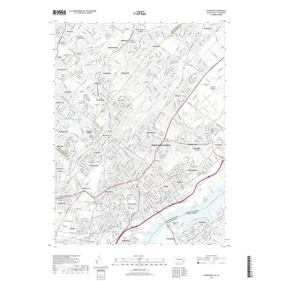 2019 Frankford2019 Print · USGSNortheast Philadelphia and Montgomery County neighborhoods are shown in extensive detail during the late 2010s. Researchers can locate numerous historic burial grounds like Abington Friends Cem or trace the riparian borders of Pennypack Woods.
Showing maps 1-25 of 28
Frequently asked questions
- What are the different types of historical maps available for East Oak Lane?
- What is the oldest map of East Oak Lane?
- Where can I purchase historical maps of East Oak Lane for my home or office?
- Where can I download high-res historical maps of East Oak Lane?
- Are there historical topographic maps available for East Oak Lane?
- Is there historical aerial imagery available for East Oak Lane?
- Where are historical maps of East Oak Lane sourced from?