Old Maps of Dingman Township, Pennsylvania for Academic Research
Study the evolution of Dingman Township with 43 high-resolution historic maps. Whether you're teaching, researching, or modeling changes in land use, these maps provide essential visual documentation of urban, environmental, and geographic change.
- Analyze long-term change: Track patterns in development, transportation, and natural features.
- Ideal for environmental or urban studies: Support academic projects with primary historical map data.
- Use in the classroom or lab: Educators and researchers rely on these maps to bring historical context to life.
These maps are a powerful tool for teaching, research, and visualizing how Dingman Township has changed over the decades.
Dingman Township, PA maps
(43)- 1913 Map of Milford, 1958 Print
 1913 Milford1958 Print · USGSBefore the Tri-State area was suburbanized, this early twentieth-century survey captures the rugged river economy of the Delaware valley. Genealogists can trace family roots at McCartys Corner or locate vanished rural schoolhouses like the McCain School and Woodtown School.
 - 1915 Map of Milford
 1915 Milford1915 Print · USGSThe Delaware River valley at the tri-state border comes alive in this pre-war survey, capturing a world of riverside rail stations and remote mountain schoolhouses. Genealogists can locate family landmarks like McCarthys Corner or trace rural education at the Yale Forest School and Quicktown School.7 unique versions available
 - 1935 Map of Hawley, 1955 Print
 1935 Hawley1955 Print · USGSThe Pocono Mountains and the massive shoreline of Lake Wallenpaupack dominate this mid-century survey of northeastern Pennsylvania. Local historians can trace the Erie rail line through Hawley and Rowland or locate the High Knob Fire Tower and rural Blooming Grove School.2 unique versions available
 - 1938 Map of Hawley
 1938 Hawley1938 Print · USGSThe Pocono Mountains and the southern reaches of the Lackawaxen River appear here in the late thirties. Genealogists and local historians can trace the rural communities of Blooming Grove and Greeley or locate the Paupack Ch and numerous family-named swamps.3 unique versions available
 - 1944 Map of Milford
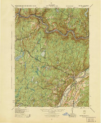 1944 Milford1944 Print · USGSThe tri-state Delaware River valley was a network of river-bound hamlets and upland schools during the 1940s. Genealogists and local historians can trace family locations through named sites like Dark Swamp Sch, Mongaup Sta, and Quicktown.
 - 1950 Map of Scranton, 1952 Print
 1950 Scranton1952 Print · USGSMid-century Northeast Pennsylvania and the Hudson Valley come alive in this survey of the tri-state region. Genealogists and historians can trace the dense rail networks of the Erie RR and DL&W RR between industrial hubs like Scranton and Wilkes-Barre.
 - 1953 Map of Scranton
 1953 Scranton1953 Print · USGSNortheastern Pennsylvania and the Catskills are shown in great detail during the early fifties, a time when rail lines and river valleys dictated the region's growth. Genealogists and historians can trace the industrial hearts of Scranton and Wilkes-Barre or locate remote landmarks like High Point and Lake Wallenpaupack.
 - 1958 Map of Milford, 1959 Print
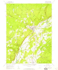 1958 Milford1959 Print · USGSThe river valley at Milford and Montague is captured here in the late fifties, showcasing a landscape of fertile islands and steep bluffs. Genealogists and local historians can locate early cemeteries like Travis Cemetery, rural school sites such as Township School, and the grounds of Minisink Church.6 unique versions available
 - 1959 Map of Scranton
 1959 Scranton1959 Print · USGSThe northern coalfields and the Hudson Valley meet in this mid-century survey of the Pennsylvania and New York borderlands. Genealogists and historians can trace the intricate rail networks of the Erie Railroad and the vast waters of Lake Wallenpaupack.2 unique versions available
 - 1959 Map of Pocono
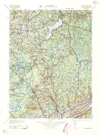 1959 Pocono1959 Print · USGSThe Pocono Mountains region is captured here in the late fifties, showcasing its evolution from a railway-dependent timber and ice landscape to a premier resort destination. Researchers can locate dozens of country schoolhouses like Maplewood Sch and trace the paths of the Erie RR through Hawley and Kimbles.
 - 1962 Map of Scranton, 1977 Print
 1962 Scranton1977 Print · USGSThe industrial heart of eastern Pennsylvania and the New York Catskills are captured here in the early sixties. Genealogists and historians can trace the dense valley settlements from Scranton to Wilkes-Barre and the rail lines of the Erie Lackawanna Railroad.2 unique versions available
 - 1965 Map of Scranton
 1965 Scranton1965 Print · USGSThe tri-state highlands of Pennsylvania, New York, and New Jersey come alive in the mid-sixties as industry and recreation converge. Trace the intricate rail lines of the Erie Lackawanna RR or locate landmarks like the U S Military Academy.2 unique versions available
 - 1965 Map of Shohola, 1967 Print
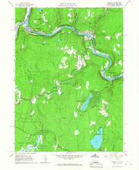 1965 Shohola1967 Print · USGSThe Delaware River valley in the mid-sixties shows the rugged meeting of river and rail along the Erie Lackawanna. Trace local history at Minisink Battlefield Memorial or find family sites at German Hill Cem and Shohola Sch.5 unique versions available
 - 1965 Map of Edgemere, 1967 Print
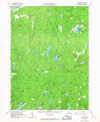 1965 Edgemere1967 Print · USGSThe Poconos highlands in the 1960s reveal a landscape of summer camps and residential estates tucked between glacial lakes and dense woods. Trace the development of Sagamore Estates, find remote outposts like Camp Speers, and follow old trails through Dark Swamp.4 unique versions available
 - 1966 Map of Pecks Pond, 1968 Print
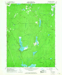 1966 Pecks Pond1968 Print · USGSThe Pocono plateau in the mid-1960s is defined here by its dense network of glacial lakes and growing recreation communities. Researchers can trace local landmarks like Pecks Pond, the early development at Hemlock Farms, and family-named features like Madden Hill.3 unique versions available
 - 1986 Map of Middletown
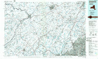 1986 Middletown1986 Print · USGSThe Tri-State region comes alive in the mid-1980s, documenting the corridor from the Hudson River to the Delaware Water Gap. Researchers can trace the sprawling grounds of West Point, the extensive Conrail rail network, and early suburban growth around Middletown and Suffern.2 unique versions available
 - 1986 Map of Scranton
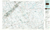 1986 Scranton1986 Print · USGSNortheastern Pennsylvania in the mid-eighties shows an era of transition between its deep-rooted mining history and modern transit growth. Researchers can trace the industrial footprint of a Strip Mine, locate the Tobyhanna Army Depot, or find family sites near St Marys Cem and Wilkes College.2 unique versions available
 - 1992 Map of Pecks Pond, 1995 Print
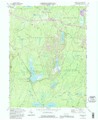 1992 Pecks Pond1995 Print · USGSThe Pocono Mountains in the early nineties reveal a landscape of dense state forests and growing residential enclaves. Genealogists and researchers can trace the development of Hemlock Farms and find landmarks like Pecks Pond, Lords Valley, and the Rock Hill Camp.
 - 1992 Map of Edgemere, 1995 Print
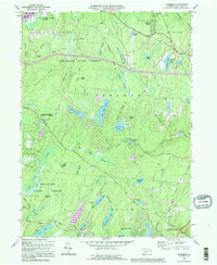 1992 Edgemere1995 Print · USGSPike County in the early 1990s was a landscape of dense state forests and growing residential lake communities. Genealogists and researchers can trace the development of summer retreats like Sagamore Estates and find local landmarks such as Silver Lake and the Cem near Gin Brook.
 - 1994 Map of Shohola, 1995 Print
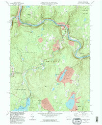 1994 Shohola1995 Print · USGSPike County and the Delaware River valley are captured here in the mid-1990s, showing a landscape shaped by river recreation and highland game lands. Researchers can trace local heritage at St Anns Ch, locate the historic Roebling Bridge, or explore family sites near German Hill Cem.
 - 1995 Map of Milford, 1999 Print
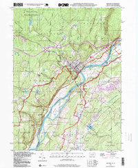 1995 Milford1999 Print · USGSThe Delaware River valley at the turn of the millennium shows a landscape defined by historic river towns and expansive national recreation lands. Genealogists and local historians can trace family sites from Milford to Hainesville, locating old landmarks like Minisink Ch and Township Sch.
 - 1997 Map of Pecks Pond, 1999 Print
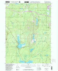 1997 Pecks Pond1999 Print · USGSThe Pocono plateau of the late nineties is revealed here as a landscape of forest conservation and growing woodland communities. Researchers can trace the layout of Hemlock Farms, locate the namesake Pecks Pond, and find recreation sites like Rock Hill Camp.
 - 1997 Map of Shohola, 2000 Print
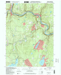 1997 Shohola2000 Print · USGSThe Delaware River valley in the late nineties preserved a balance between historic settlements and emerging recreation areas. Researchers can trace the legacy of the region through the Roebling Bridge, German Hill Cem, and the Minisink Battlefield County Park Monument.
 - 2010 Map of Pecks Pond, 2010 Print
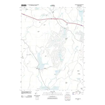 2010 Pecks Pond2010 Print · USGSThe Pocono plateau comes alive in the early twenty-first century, showing a mix of established conservation lands and growing lakeside communities. Trace the reach of Shohola Creek past landmarks like the High Knob Fire Tower and the sprawling lanes of Hemlock Farms.
 - 2010 Map of Shohola, 2010 Print
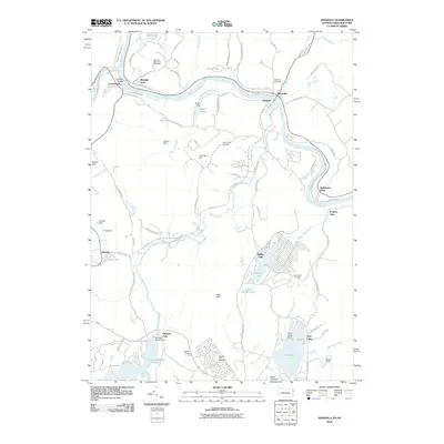 2010 Shohola2010 Print · USGSThe Delaware River borderlands are shown in detail during the early 21st century as the river winds past Lackawaxen and Shohola. Genealogists and historians can locate the Minisink Battlefield Memorial, the iconic Roebling Bridge, and local burial sites like Woodtown Cemetery.
Showing maps 1-25 of 43
Top cities near Dingman Township
- Wantage historical maps
- Port Jervis historical maps
- Delaware historical maps
- Deerpark historical maps
- Lackawaxen Township historical maps
- Hampton Township historical maps
See more
Top neighborhoods of Dingman Township
- Sunrise Lake historical maps
- Conashaugh Lakes historical maps
- Frenchtown historical maps
- Gold Key Lake historical maps
- Pocono Mountain Woodland Lakes historical maps
- Silver Spring historical maps
See more
Frequently asked questions
- What are the different types of historical maps available for Dingman Township?
- What is the oldest map of Dingman Township?
- Where can I purchase historical maps of Dingman Township for my home or office?
- Where can I download high-res historical maps of Dingman Township?
- Are there historical topographic maps available for Dingman Township?
- Is there historical aerial imagery available for Dingman Township?
- Where are historical maps of Dingman Township sourced from?