2000s (21st Century) Maps of Milford Township, Pennsylvania
Explore 20 historic maps of Milford Township from the 2000s (21st Century). These maps offer a rare glimpse into what life looked like during the 2000s — showing old roads, neighborhoods, homes, and landmarks that have changed or disappeared over time.
Whether you're researching your family's past, planning a metal detecting trip, or studying how Milford Township's landscape evolved across the 2000s, these high-resolution maps are a powerful tool for exploring the history of this region.
- Focus on a specific era: All maps on this page are from the 2000s, giving you a focused view of this time period.
- See what’s changed: Compare century-old streets, trails, and buildings to today's modern landscape using overlays and satellite layers.
- Research with precision: Use these maps for genealogy, historical research, land use analysis, or educational projects.
- View, download, or print: Maps are fully viewable online in high resolution, and can be downloaded or printed for your own records.
Start exploring Milford Township's history through authentic maps from the 2000s. This is your window into the past.
Milford Township, PA maps
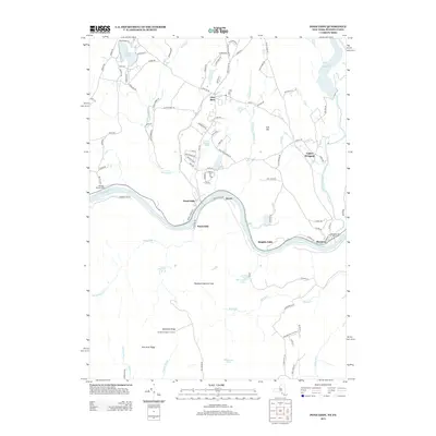
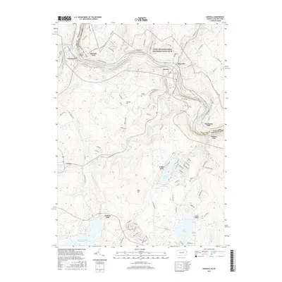
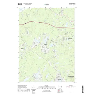
(20)- 2010 Map of Shohola, 2010 Print
 2010 Shohola2010 Print · USGSCovers Milford Township, including Lackawaxen Township, Blooming Grove Township, and other nearby areas
 - 2010 Map of Pond Eddy, 2010 Print
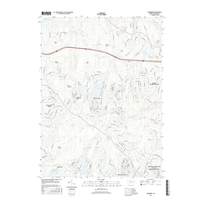
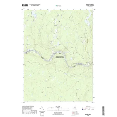
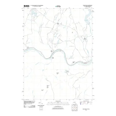 2010 Pond Eddy2010 Print · USGSCovers Milford Township, including Deerpark, Shohola Township, and other nearby areas
 - 2010 Map of Edgemere, 2010 Print
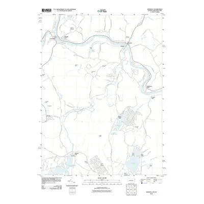
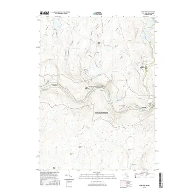
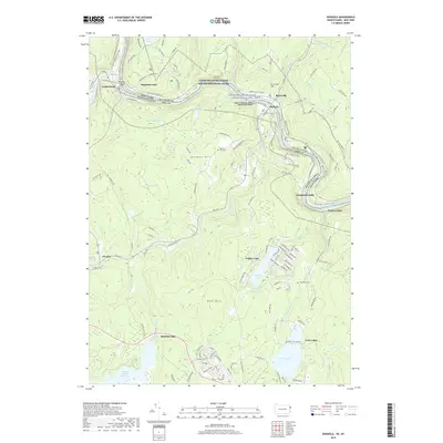
 2010 Edgemere2010 Print · USGSCovers Milford Township, including Blooming Grove Township, Shohola Township, and other nearby areas
 - 2011 Map of Milford, 2011 Print
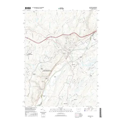
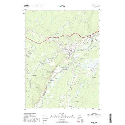
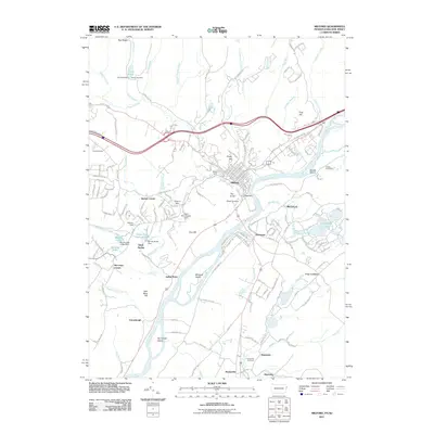 2011 Milford2011 Print · USGSCovers Milford Township, including Montague Township, Westfall Township, and other nearby areas
 - 2013 Map of Pond Eddy, 2013 Print
 2013 Pond Eddy2013 Print · USGSCovers Milford Township, including Deerpark, Shohola Township, and other nearby areas
 - 2013 Map of Edgemere, 2013 Print
 2013 Edgemere2013 Print · USGSCovers Milford Township, including Blooming Grove Township, Shohola Township, and other nearby areas
 - 2013 Map of Milford, 2013 Print
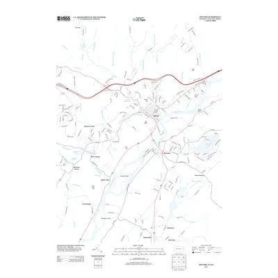 2013 Milford2013 Print · USGSCovers Milford Township, including Montague Township, Westfall Township, and other nearby areas
 - 2013 Map of Shohola, 2013 Print
 2013 Shohola2013 Print · USGSCovers Milford Township, including Lackawaxen Township, Blooming Grove Township, and other nearby areas
 - 2016 Map of Shohola, 2016 Print
 2016 Shohola2016 Print · USGSCovers Milford Township, including Lackawaxen Township, Blooming Grove Township, and other nearby areas
 - 2016 Map of Edgemere, 2016 Print
 2016 Edgemere2016 Print · USGSCovers Milford Township, including Blooming Grove Township, Shohola Township, and other nearby areas
 - 2016 Map of Milford, 2016 Print
 2016 Milford2016 Print · USGSCovers Milford Township, including Montague Township, Westfall Township, and other nearby areas
 - 2016 Map of Pond Eddy, 2016 Print
 2016 Pond Eddy2016 Print · USGSCovers Milford Township, including Deerpark, Shohola Township, and other nearby areas
 - 2019 Map of Milford, 2019 Print
 2019 Milford2019 Print · USGSCovers Milford Township, including Montague Township, Westfall Township, and other nearby areas
 - 2019 Map of Shohola, 2019 Print
 2019 Shohola2019 Print · USGSCovers Milford Township, including Lackawaxen Township, Blooming Grove Township, and other nearby areas
 - 2019 Map of Edgemere, 2019 Print
 2019 Edgemere2019 Print · USGSCovers Milford Township, including Blooming Grove Township, Shohola Township, and other nearby areas
 - 2019 Map of Pond Eddy, 2019 Print
 2019 Pond Eddy2019 Print · USGSCovers Milford Township, including Deerpark, Shohola Township, and other nearby areas
 - 2023 Map of Milford, 2023 Print
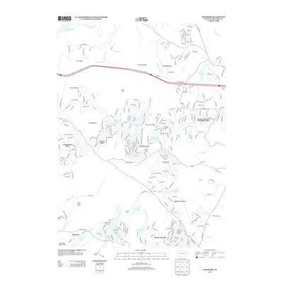
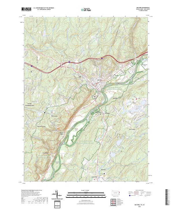 2023 Milford2023 Print · USGSThe Delaware River borderlands between Pennsylvania and New Jersey are shown here in the 2020s, anchored by the seat of Pike County. Researchers can locate family landmarks like Grey Towers, the Old Union Schoolhouse, and the Decker Cem.
 - 2023 Map of Edgemere, 2023 Print
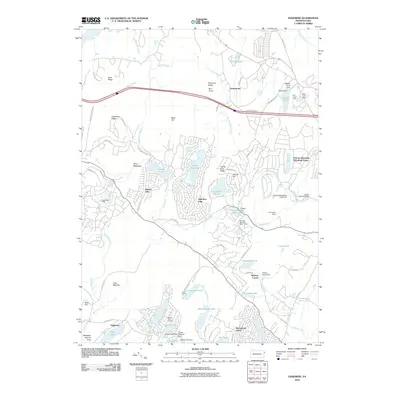
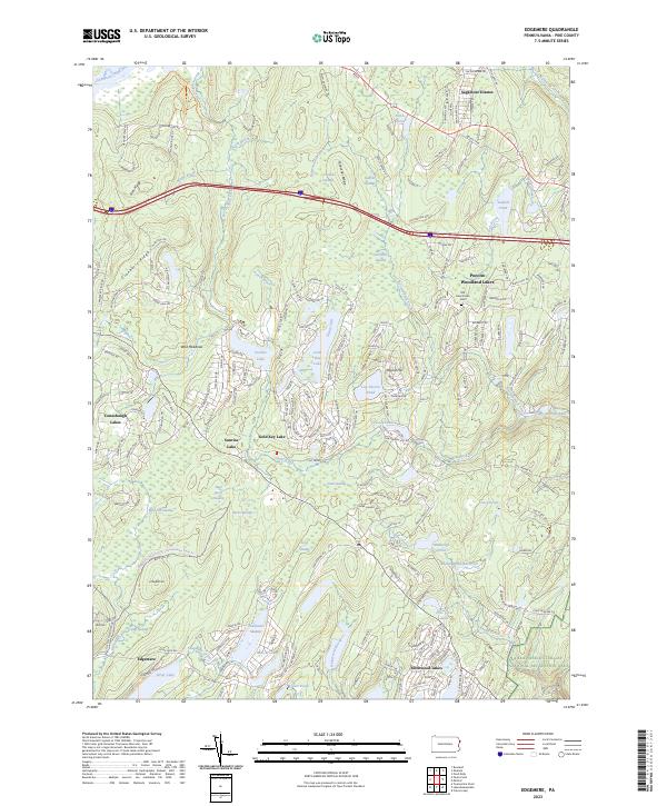 2023 Edgemere2023 Print · USGSPike County's lake communities and mountain ridges are shown here in detail during the early 2020s. Researchers can trace the Old Frenchtown Cem or explore the developments at Conashaugh Lakes and Gold Key Lake.
 - 2023 Map of Shohola, 2023 Print
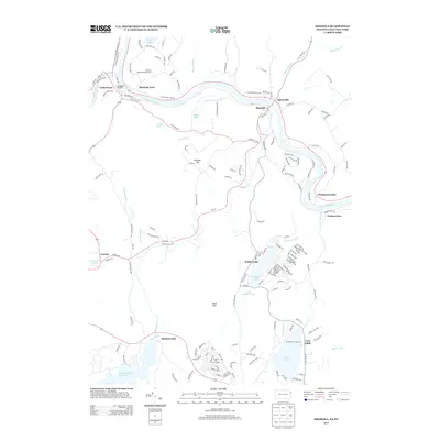
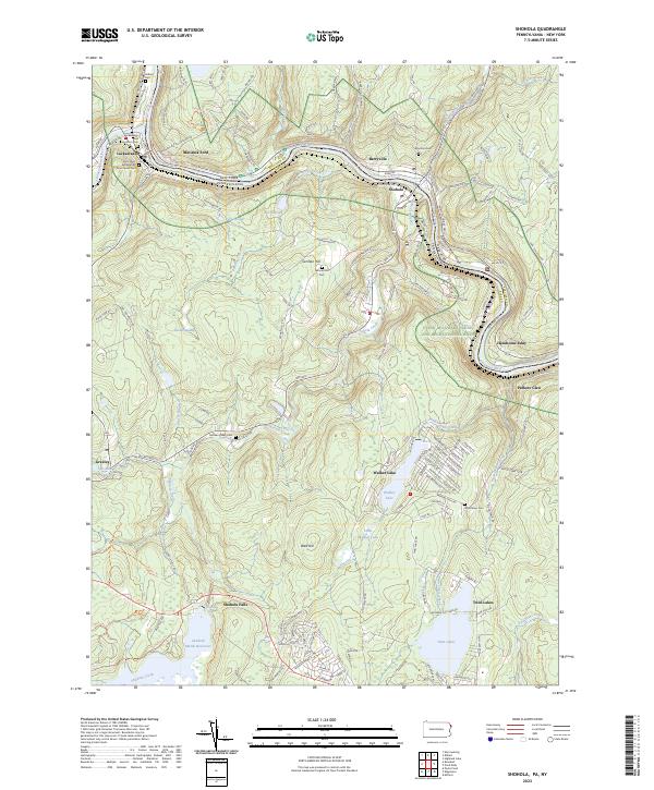 2023 Shohola2023 Print · USGSThe Delaware River corridor near the New York and Pennsylvania border comes alive in this contemporary record of its river-town heritage. Genealogists and local historians can trace family roots through the Saint Mary Assumption Churchyard Cem, Union Cem, and the historic Minisink Ford crossing.
 - 2023 Map of Pond Eddy, 2023 Print
 2023 Pond Eddy2023 Print · USGSThe Delaware River corridor near the New York and Pennsylvania border is captured here during the 2020s. Genealogists can locate family landmarks like Van Tuyl Cem and Lower Mongaup Cem alongside the waters of the Rio Reservoir.
End of results
Showing maps 1-20 of 20
Top cities near Milford Township
- Thompson historical maps
- Mamakating historical maps
- Wantage historical maps
- Port Jervis historical maps
- Delaware historical maps
- Deerpark historical maps
See more
Top neighborhoods of Milford Township
Frequently asked questions
- What are the different types of historical maps available for Milford Township?
- What is the oldest map of Milford Township?
- Where can I purchase historical maps of Milford Township for my home or office?
- Where can I download high-res historical maps of Milford Township?
- Are there historical topographic maps available for Milford Township?
- Is there historical aerial imagery available for Milford Township?
- Where are historical maps of Milford Township sourced from?