2000s (21st Century) Maps of Shohola Township, Pennsylvania
Explore 15 historic maps of Shohola Township from the 2000s (21st Century). These maps offer a rare glimpse into what life looked like during the 2000s — showing old roads, neighborhoods, homes, and landmarks that have changed or disappeared over time.
Whether you're researching your family's past, planning a metal detecting trip, or studying how Shohola Township's landscape evolved across the 2000s, these high-resolution maps are a powerful tool for exploring the history of this region.
- Focus on a specific era: All maps on this page are from the 2000s, giving you a focused view of this time period.
- See what’s changed: Compare century-old streets, trails, and buildings to today's modern landscape using overlays and satellite layers.
- Research with precision: Use these maps for genealogy, historical research, land use analysis, or educational projects.
- View, download, or print: Maps are fully viewable online in high resolution, and can be downloaded or printed for your own records.
Start exploring Shohola Township's history through authentic maps from the 2000s. This is your window into the past.
Shohola Township, PA maps
(15)- 2010 Map of Shohola, 2010 Print
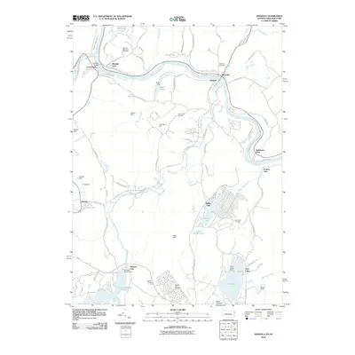 2010 Shohola2010 Print · USGSThe Delaware River borderlands are shown in detail during the early 21st century as the river winds past Lackawaxen and Shohola. Genealogists and historians can locate the Minisink Battlefield Memorial, the iconic Roebling Bridge, and local burial sites like Woodtown Cemetery.
 - 2010 Map of Pond Eddy, 2010 Print
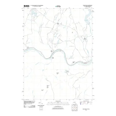 2010 Pond Eddy2010 Print · USGSThe Delaware River valley and the forested uplands of Orange County are captured here just after the turn of the millennium. Researchers can trace riverside settlements like Pond Eddy and Knights Eddy or locate upland landmarks such as the Buckhorn Ridge Fire Tower.
 - 2010 Map of Edgemere, 2010 Print
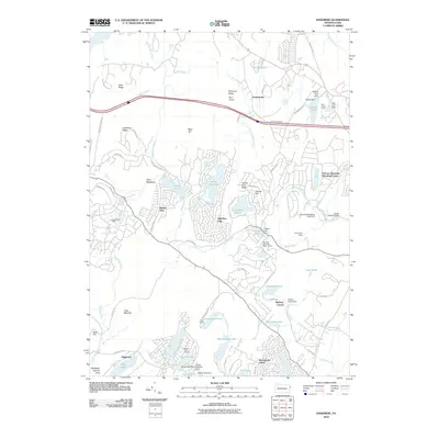 2010 Edgemere2010 Print · USGSThe Pocono plateau in the early 21st century shows a dense network of managed lakes and residential estates. You can trace the development of private communities like Marcel Lake Estate and Birchwood Lakes alongside landmarks such as Myer Airport.
 - 2013 Map of Pond Eddy, 2013 Print
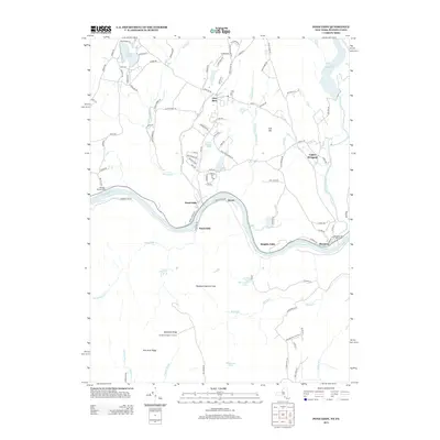 2013 Pond Eddy2013 Print · USGSThe Delaware River valley and the southern Catskill foothills come alive in the early twenty-first century as rural communities and state lands converge. Researchers can trace family sites like the Van Tuyl Hillside Cem or landmarks including the Buckhorn Ridge Fire Tower and the Rio Reservoir.
 - 2013 Map of Edgemere, 2013 Print
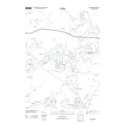 2013 Edgemere2013 Print · USGSPike County's wooded lake communities and mountain retreats are shown here in the early 21st century. Researchers can trace the development of residential enclaves like Gold Key Lake and Sunrise Lake or locate landmarks like Myer Airport.
 - 2013 Map of Shohola, 2013 Print
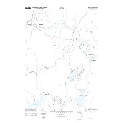 2013 Shohola2013 Print · USGSPike County and Sullivan County meet at the Delaware River in this recent survey of the river-valley borderlands. Researchers can locate historic sites like the Roebling Bridge and Minisink Battlefield Memorial alongside the communities of Shohola and Lackawaxen.
 - 2016 Map of Shohola, 2016 Print
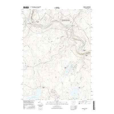 2016 Shohola2016 Print · USGSThe Delaware River borderlands between Pennsylvania and New York are captured here in the early twenty-first century. Researchers can trace historic river crossings and upland cemeteries such as the Roebling Bridge, German Hill Cem, and Minisink Ford.
 - 2016 Map of Edgemere, 2016 Print
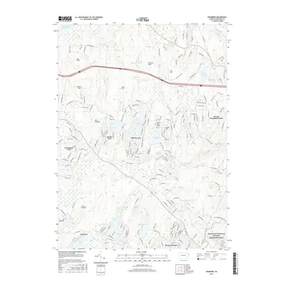 2016 Edgemere2016 Print · USGSPike County lakefront communities are well established by the mid-2010s, showing a landscape defined by private developments and conservation. Genealogists and hikers can trace the boundaries of Edgemere and Conashaugh Lakes or explore the Delaware Water Gap.
 - 2016 Map of Pond Eddy, 2016 Print
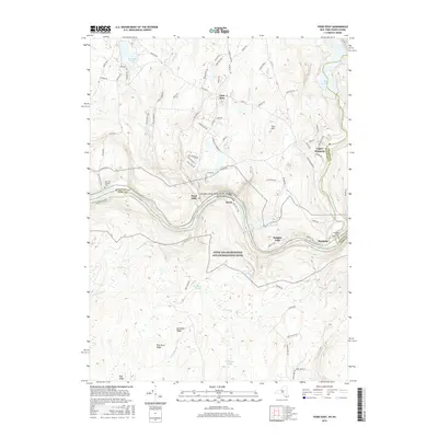 2016 Pond Eddy2016 Print · USGSThe Delaware River valley in the mid-2010s shows a landscape of river-bottom hamlets and high-ridge forests at the New York border. Researchers can trace local lineage at Van Tuyl Hillside Cem or locate the riverside settlements of Pond Eddy and Knights Eddy.
 - 2019 Map of Shohola, 2019 Print
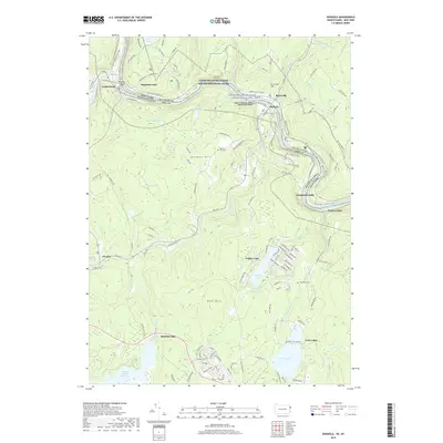 2019 Shohola2019 Print · USGSThe Upper Delaware riverfront is captured here in the late twenty-teens, showing the border towns of Shohola and Barryville. Researchers can trace local history through the Roebling Bridge, the Minisink Battle Ground, and family burial sites like German Hill Cem.
 - 2019 Map of Edgemere, 2019 Print
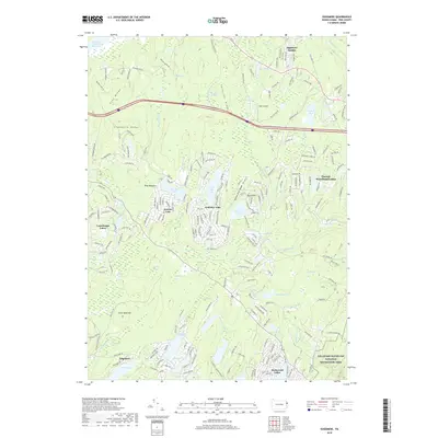 2019 Edgemere2019 Print · USGSPike County lake communities and protected parklands are shown in detail during the late twenty-first century. Researchers can trace the development of residential enclaves like Gold Key Lake and Edgemere or locate landmarks such as Myer Airport and Dwarfs Kill.
 - 2019 Map of Pond Eddy, 2019 Print
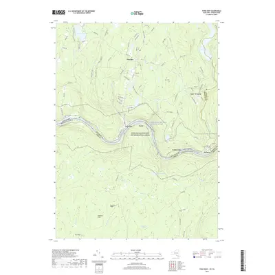 2019 Pond Eddy2019 Print · USGSThe Delaware River valley serves as a focal point for this borderland geography in 2019, tracing the intersections of New York and Pennsylvania. Genealogists and local historians can locate several family landmarks, including Van Tuyl Cem, Lower Mongaup Cem, and the hamlet of Glen Spey.
 - 2023 Map of Edgemere, 2023 Print
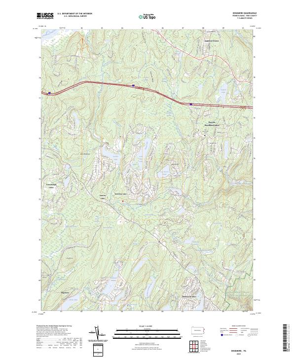 2023 Edgemere2023 Print · USGSPike County's lake communities and mountain ridges are shown here in detail during the early 2020s. Researchers can trace the Old Frenchtown Cem or explore the developments at Conashaugh Lakes and Gold Key Lake.
 - 2023 Map of Shohola, 2023 Print
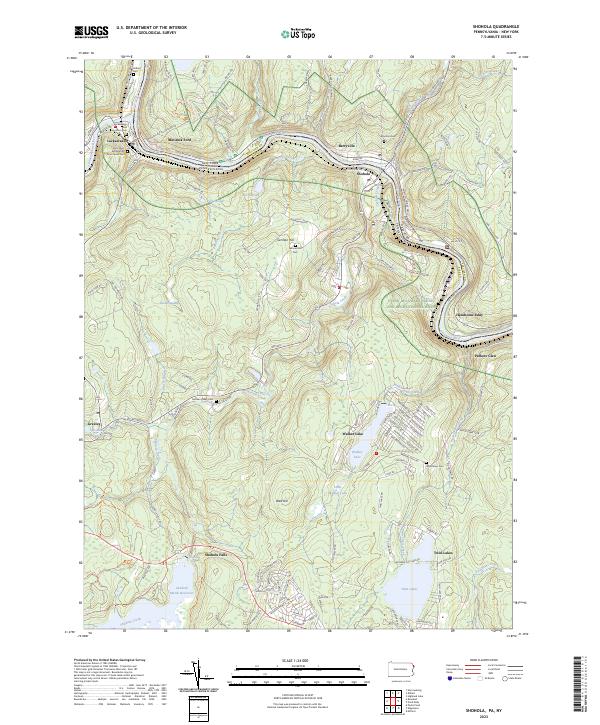 2023 Shohola2023 Print · USGSThe Delaware River corridor near the New York and Pennsylvania border comes alive in this contemporary record of its river-town heritage. Genealogists and local historians can trace family roots through the Saint Mary Assumption Churchyard Cem, Union Cem, and the historic Minisink Ford crossing.
 - 2023 Map of Pond Eddy, 2023 Print
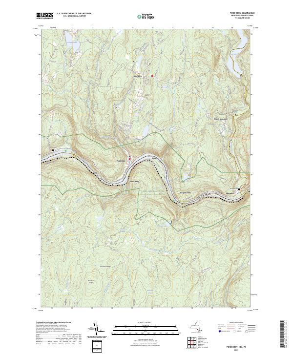 2023 Pond Eddy2023 Print · USGSThe Delaware River corridor near the New York and Pennsylvania border is captured here during the 2020s. Genealogists can locate family landmarks like Van Tuyl Cem and Lower Mongaup Cem alongside the waters of the Rio Reservoir.
End of results
Showing maps 1-15 of 15
Top cities near Shohola Township
- Thompson historical maps
- Fallsburg historical maps
- Wantage historical maps
- Port Jervis historical maps
- Deerpark historical maps
- Monticello historical maps
See more
Top neighborhoods of Shohola Township
- Shohola Falls historical maps
- Sagamore Estates historical maps
- Twin Lakes historical maps
- Walker Lake historical maps
- Parkers Glen historical maps
- Pond Eddy historical maps
See more
Frequently asked questions
- What are the different types of historical maps available for Shohola Township?
- What is the oldest map of Shohola Township?
- Where can I purchase historical maps of Shohola Township for my home or office?
- Where can I download high-res historical maps of Shohola Township?
- Are there historical topographic maps available for Shohola Township?
- Is there historical aerial imagery available for Shohola Township?
- Where are historical maps of Shohola Township sourced from?