Old Maps of Ulysses, Pennsylvania
Explore 22 old maps of Ulysses, spanning from 1899 to today. These high-resolution historic maps reveal how streets, neighborhoods, landmarks, and natural features evolved over time — perfect for genealogy, metal detecting, research, and local history exploration.
What you can do with these maps:
- See how Ulysses changed over time: Compare historical maps to modern-day views to trace roads, homesites, rail lines & more.
- View detailed metadata: Each map includes creators, publishers, year, scale, and archive source.
- Overlay maps with satellite & LiDAR: Visualize the past alongside modern tools to explore terrain & human change.
- Trusted historical sources: Maps sourced from the USGS, Library of Congress, and other archives.
- Access maps your way: View online, download high-res files, or order prints for personal or research use.
Start exploring old maps of Ulysses to uncover forgotten places, hidden landmarks, and the deep history beneath your feet.
Ulysses, PA maps
(22)- 1899 Map of Gaines, 1960 Print
 1899 Gaines1960 Print · USGSPotter and Tioga Counties are seen here at the end of the nineteenth century, as the logging and rail industries reached into every deep hollow. Genealogists and historians can trace family lands near Harrison Valley, Sabinsville, and the remote Loucks Mills.2 unique versions available
 - 1900 Map of Gaines
 1900 Gaines1900 Print · USGSThe Cowanesque River valley at the turn of the century shows a landscape defined by new rail lines and remote timbering settlements. Genealogists can trace family holdings near Sunderlinville, Harrison Valley, and the rural crossroads of Mixtown and Lansing.5 unique versions available
 - 1932 Map of Genesee, 1961 Print
 1932 Genesee1961 Print · USGSNorthern Pennsylvania’s high plateau is captured here in the early thirties, showing the transition from timber-hauling rail lines to mountain highways. Genealogists can locate family names at Andrews Settlement, the Sweden Hill Cem, or the Ice Mine.
 - 1937 Map of Genesee
 1937 Genesee1937 Print · USGSPotter County’s high plateau is captured in the 1930s when the headwaters of the Allegheny River and Genesee River met a complex network of mountain railroads. Genealogists can locate family landmarks like Sweden Hill Cem, the Ice Mine, and numerous district schools including Judd Sch.3 unique versions available
 - 1954 Map of Williamsport
 1954 Williamsport1954 Print · USGSNorth-central Pennsylvania in the mid-fifties is defined by the winding West Branch Susquehanna River and its industrial valley. Local historians can trace the massive Susquehanna Ordnance Depot and the extensive rail networks of the Pennsylvania Railroad.
 - 1957 Map of Harrison Valley, 1958 Print
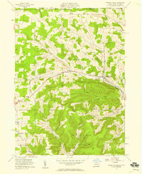 1957 Harrison Valley1958 Print · USGSPotter County communities along the Cowanesque River are documented here in the late fifties as the regional landscape transitioned from its rail-heavy past. Local researchers can trace family landmarks like Schofield Cem, the Northern Tier Childrens Home, and the OLD RAILROAD GRADE.3 unique versions available
 - 1960 Map of Williamsport
 1960 Williamsport1960 Print · USGSNorth-central Pennsylvania in the mid-twentieth century was a vital corridor of rail and river industry stretching from the New York line to the coal regions. Genealogists can trace the rail networks of the Pennsylvania RR and Lehigh Valley RR connecting towns like Williamsport, Towanda, and Lock Haven.
 - 1962 Map of Williamsport, 1966 Print
 1962 Williamsport1966 Print · USGSNorth-central Pennsylvania was a landscape of industrial river hubs and vast state woodlands in the early sixties. Researchers can trace the path of the Pennsylvania Railroad through Williamsport and explore the remote reaches of Bucktail State Park.5 unique versions available
 - 1965 Map of Williamsport
 1965 Williamsport1965 Print · USGSNorth-central Pennsylvania in the mid-1960s is defined by the industrial river towns and vast timberlands of the Allegheny Plateau. Researchers can trace historic rail lines like the Erie Lackawanna and Reading as they thread through Williamsport, Lock Haven, and Jersey Shore.
 - 1966 Map of Williamsport
 1966 Williamsport1966 Print · USGSThe Susquehanna Valley was a hub of transit and industry in the mid-seventies, where the river's West Branch connected major college towns and timberlands. Researchers can trace historical rail lines like the Reading or locate regional landmarks from Jersey Shore to Ricketts Glen State Park.
 - 1969 Map of Ulysses, 1972 Print
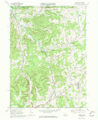 1969 Ulysses1972 Print · USGSPotter County at the end of the sixties shows a landscape of river-fed valleys and energy infrastructure. Trace local history through North Bingham Cem, the Hickox Landing Field, and old transport routes like Pusher Siding.2 unique versions available
 - 1981 Map of Wellsboro, 1982 Print
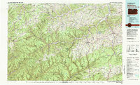 1981 Wellsboro1982 Print · USGSNorthern Pennsylvania in the early eighties shows a landscape of deep river gorges and vast state forests. Trace the rail lines of Conrail and explore old settlements from Coudersport to the Pine Creek Gorge.
 - 2010 Map of Ulysses, 2010 Print
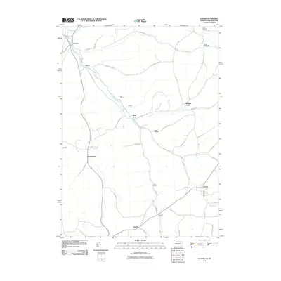 2010 Ulysses2010 Print · USGSThe upper Genesee River valley in the early twenty-first century is a landscape of valley-bottom hamlets and upland hollows. Genealogists and local historians can trace family locations through North Bingham Cemetery and established centers like Ulysses and Kibbeville Corners.
 - 2010 Map of Harrison Valley, 2010 Print
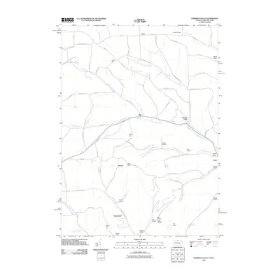 2010 Harrison Valley2010 Print · USGSThe rural borderlands of northern Pennsylvania and New York appear here in the early twenty-first century, showing a landscape of deep valleys and creek-side hamlets. Researchers can trace family-named landmarks like Dennis Hill and Swartz Hollow or locate the small air strip at Ulysses Airport.
 - 2013 Map of Ulysses, 2013 Print
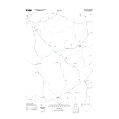 2013 Ulysses2013 Print · USGSThe upper reaches of the Genesee River define this rural landscape during the early 21st century. Researchers can trace historic crossroad hamlets and family-named landmarks including Kibbeville Corners, Pusher Siding, and the clusters of West Bingham and North Bingham.
 - 2013 Map of Harrison Valley, 2013 Print
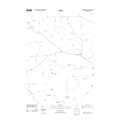 2013 Harrison Valley2013 Print · USGSHarrison Valley and the upper Cowanesque River are shown at the start of the twenty-first century, just as the region's rural character remains deeply intact. Trace family lands and geography near Mills, White Knoll, and the Susquehannock State Forest.
 - 2016 Map of Harrison Valley, 2016 Print
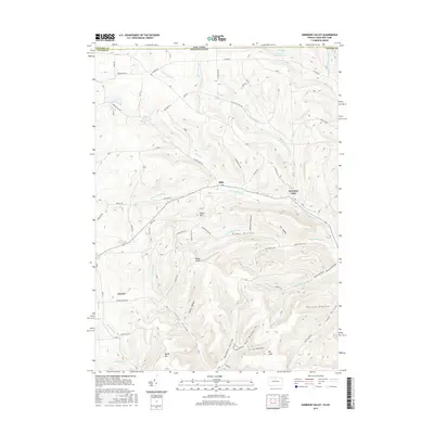 2016 Harrison Valley2016 Print · USGSThe Pennsylvania-New York state line cuts through this high-plateau landscape during the mid-2010s. Genealogists and local historians can trace family-named landmarks and remote settlements from Harrison Valley and Ulysses to the heights of Bailey Hill.
 - 2016 Map of Ulysses, 2016 Print
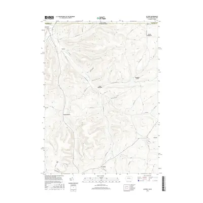 2016 Ulysses2016 Print · USGSThe Pennsylvania-New York borderlands are captured here in the mid-2010s, showing the rural crossroads and river valleys of Potter County. Genealogists and historians can trace family locations near North Bingham Cem or through the small settlements of West Bingham and Harmontown.
 - 2019 Map of Harrison Valley, 2019 Print
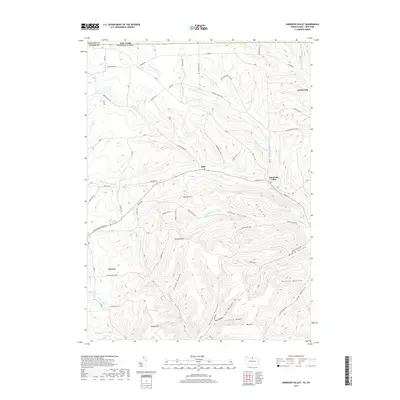 2019 Harrison Valley2019 Print · USGSThe northern borderlands of Pennsylvania and New York are captured here in late 2010s detail, showing the river-carved valleys of Potter and Steuben Counties. Researchers can trace family-named terrain and rural routes near Harrison Valley, Mills, and Ulysses.
 - 2019 Map of Ulysses, 2019 Print
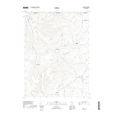 2019 Ulysses2019 Print · USGSThe Pennsylvania and New York border comes into sharp focus here in the late twenty-teens, showing the rural valley settlements along the upper Genesee River. Researchers can trace family sites from North Bingham Cem down to Hickox, Harmontown, and the streets of Ulysses.
 - 2023 Map of Harrison Valley, 2023 Print
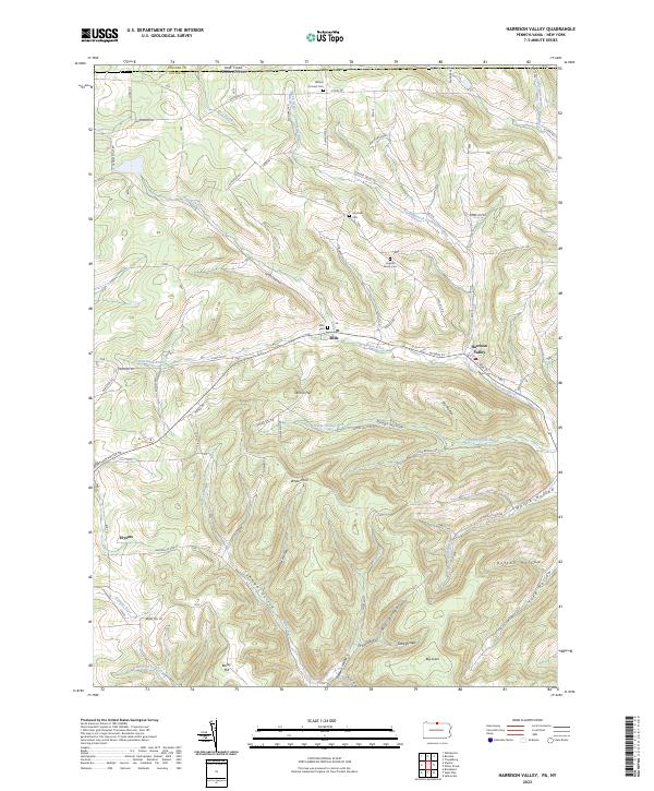 2023 Harrison Valley2023 Print · USGSHarrison Valley and the high ridges of Potter County are mapped here just south of the New York state line. Researchers can trace rural lineages through the English Family Cem, locate the small settlement of Mills, and follow the headwaters of the Genesee River.
 - 2023 Map of Ulysses, 2023 Print
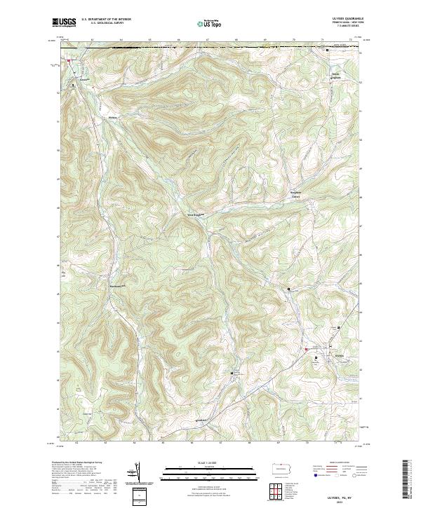 2023 Ulysses2023 Print · USGSPotter County hill country in the twenty-first century reveals a landscape of isolated villages and family burial grounds. Researchers can trace the rural layout of Ulysses, Newfield, and Bingham Center or locate the Old Lewisville Cem.
End of results
Showing maps 1-22 of 22
Frequently asked questions
- What are the different types of historical maps available for Ulysses?
- What is the oldest map of Ulysses?
- Where can I purchase historical maps of Ulysses for my home or office?
- Where can I download high-res historical maps of Ulysses?
- Are there historical topographic maps available for Ulysses?
- Is there historical aerial imagery available for Ulysses?
- Where are historical maps of Ulysses sourced from?