Old Maps of Brookland, Ulysses Township for Academic Research
Study the evolution of Brookland with 14 high-resolution historic maps. Whether you're teaching, researching, or modeling changes in land use, these maps provide essential visual documentation of urban, environmental, and geographic change.
- Analyze long-term change: Track patterns in development, transportation, and natural features.
- Ideal for environmental or urban studies: Support academic projects with primary historical map data.
- Use in the classroom or lab: Educators and researchers rely on these maps to bring historical context to life.
These maps are a powerful tool for teaching, research, and visualizing how Brookland has changed over the decades.
Brookland, Ulysses Township maps
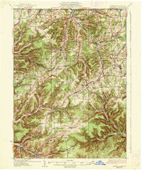
(14)- 1932 Map of Genesee, 1961 Print
 1932 Genesee1961 Print · USGSNorthern Pennsylvania’s high plateau is captured here in the early thirties, showing the transition from timber-hauling rail lines to mountain highways. Genealogists can locate family names at Andrews Settlement, the Sweden Hill Cem, or the Ice Mine.
 - 1937 Map of Genesee
 1937 Genesee1937 Print · USGSPotter County’s high plateau is captured in the 1930s when the headwaters of the Allegheny River and Genesee River met a complex network of mountain railroads. Genealogists can locate family landmarks like Sweden Hill Cem, the Ice Mine, and numerous district schools including Judd Sch.3 unique versions available
 - 1954 Map of Williamsport
 1954 Williamsport1954 Print · USGSNorth-central Pennsylvania in the mid-fifties is defined by the winding West Branch Susquehanna River and its industrial valley. Local historians can trace the massive Susquehanna Ordnance Depot and the extensive rail networks of the Pennsylvania Railroad.
 - 1960 Map of Williamsport
 1960 Williamsport1960 Print · USGSNorth-central Pennsylvania in the mid-twentieth century was a vital corridor of rail and river industry stretching from the New York line to the coal regions. Genealogists can trace the rail networks of the Pennsylvania RR and Lehigh Valley RR connecting towns like Williamsport, Towanda, and Lock Haven.
 - 1962 Map of Williamsport, 1966 Print
 1962 Williamsport1966 Print · USGSNorth-central Pennsylvania was a landscape of industrial river hubs and vast state woodlands in the early sixties. Researchers can trace the path of the Pennsylvania Railroad through Williamsport and explore the remote reaches of Bucktail State Park.5 unique versions available
 - 1965 Map of Williamsport
 1965 Williamsport1965 Print · USGSNorth-central Pennsylvania in the mid-1960s is defined by the industrial river towns and vast timberlands of the Allegheny Plateau. Researchers can trace historic rail lines like the Erie Lackawanna and Reading as they thread through Williamsport, Lock Haven, and Jersey Shore.
 - 1966 Map of Williamsport
 1966 Williamsport1966 Print · USGSThe Susquehanna Valley was a hub of transit and industry in the mid-seventies, where the river's West Branch connected major college towns and timberlands. Researchers can trace historical rail lines like the Reading or locate regional landmarks from Jersey Shore to Ricketts Glen State Park.
 - 1969 Map of Brookland, 1972 Print
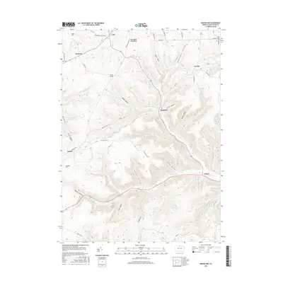
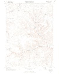 1969 Brookland1972 Print · USGSPotter County’s highland valleys are captured here in the late sixties, showing a landscape defined by state forests and rural crossroads. Genealogists can locate family landmarks like Oak Hall Sch and the Sweden Hill Ch alongside the rails of the Addison and Galeton.4 unique versions available
 - 1981 Map of Wellsboro, 1982 Print
 1981 Wellsboro1982 Print · USGSNorthern Pennsylvania in the early eighties shows a landscape of deep river gorges and vast state forests. Trace the rail lines of Conrail and explore old settlements from Coudersport to the Pine Creek Gorge.
 - 2010 Map of Brookland, 2010 Print
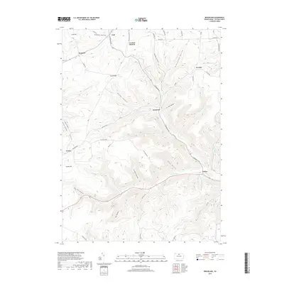
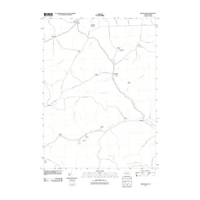 2010 Brookland2010 Print · USGSCovers Brookland, including Sweden Township, Allegany Township, and other nearby areas
 - 2013 Map of Brookland, 2013 Print
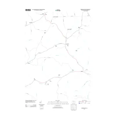 2013 Brookland2013 Print · USGSCovers Brookland, including Sweden Township, Allegany Township, and other nearby areas
 - 2016 Map of Brookland, 2016 Print
 2016 Brookland2016 Print · USGSCovers Brookland, including Sweden Township, Allegany Township, and other nearby areas
 - 2019 Map of Brookland, 2019 Print
 2019 Brookland2019 Print · USGSCovers Brookland, including Sweden Township, Allegany Township, and other nearby areas
 - 2023 Map of Brookland, 2023 Print
 2023 Brookland2023 Print · USGSPotter County's high plateaus and deep hollows are captured here in the early twenty-first century, showing a landscape of small settlements and forest trails. Researchers can locate ancestral sites at All Saints Episcopal Church Cem, Raymond Cem, and the high-elevation community of Gold.
End of results
Showing maps 1-14 of 14
Top cities near Brookland
- Willing historical maps
- Galeton historical maps
- Independence historical maps
- Harrison Township historical maps
- Troupsburg historical maps
- Alma historical maps
See more
Frequently asked questions
- What are the different types of historical maps available for Brookland?
- What is the oldest map of Brookland?
- Where can I purchase historical maps of Brookland for my home or office?
- Where can I download high-res historical maps of Brookland?
- Are there historical topographic maps available for Brookland?
- Is there historical aerial imagery available for Brookland?
- Where are historical maps of Brookland sourced from?