2000s (21st Century) Maps of Clifford Township, Pennsylvania
Explore 15 historic maps of Clifford Township from the 2000s (21st Century). These maps offer a rare glimpse into what life looked like during the 2000s — showing old roads, neighborhoods, homes, and landmarks that have changed or disappeared over time.
Whether you're researching your family's past, planning a metal detecting trip, or studying how Clifford Township's landscape evolved across the 2000s, these high-resolution maps are a powerful tool for exploring the history of this region.
- Focus on a specific era: All maps on this page are from the 2000s, giving you a focused view of this time period.
- See what’s changed: Compare century-old streets, trails, and buildings to today's modern landscape using overlays and satellite layers.
- Research with precision: Use these maps for genealogy, historical research, land use analysis, or educational projects.
- View, download, or print: Maps are fully viewable online in high resolution, and can be downloaded or printed for your own records.
Start exploring Clifford Township's history through authentic maps from the 2000s. This is your window into the past.
Clifford Township, PA maps
(15)- 2010 Map of Clifford, 2010 Print
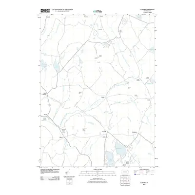 2010 Clifford2010 Print · USGSUpper Susquehanna County at the start of the 2010s shows a landscape of prominent ridges and high-country lakes. Genealogists and researchers can trace local family lineages through Clifford Cemetery, Burdick Corners, and the historic Milford and Owego Turnpike Rd.
- 2010 Map of Forest City, 2010 Print
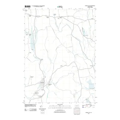 2010 Forest City2010 Print · USGSForest City and its surrounding boroughs are shown at the start of the 21st century, revealing a landscape shaped by coal mining and river travel. Researchers can trace industrial footprints like the Old Forest City Shaft or find local heritage sites at Saint James Cemetery and the Pleasant Mount Fish Hatchery.
- 2010 Map of Lenoxville, 2010 Print
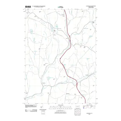 2010 Lenoxville2010 Print · USGSSusquehanna County’s rural character is on full display in this early twenty-first-century survey of the Tunkhannock Creek valley. Genealogists and local historians can trace family locations near Lenoxville, South Gibson, and the South Harford Cemetery.
- 2013 Map of Clifford, 2013 Print
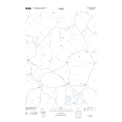 2013 Clifford2013 Print · USGSClifford Township and its surrounding highlands are captured here in the early twenty-first century. Genealogists and local historians can trace family-named roads while locating settlements like Dundaff, Birchtown, and the high-elevation Elk Hill Fire Tower.
- 2013 Map of Forest City, 2013 Print
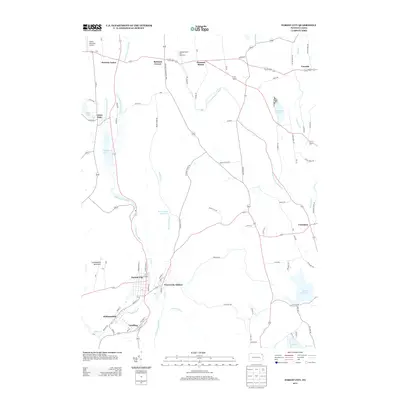 2013 Forest City2013 Print · USGSThe northern Lackawanna Valley comes into focus in the early twenty-first century, showing the corridor from Forest City to Union Dale. Genealogists can trace property locations and local landmarks like the Pleasant Mount Fish Hatchery and Stahl's Mountain Airport.
- 2013 Map of Lenoxville, 2013 Print
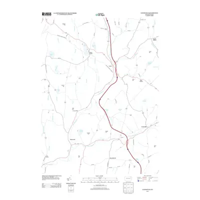 2013 Lenoxville2013 Print · USGSSusquehanna County’s rolling hills and creek valleys are mapped here in the early twenty-first century, showing a resilient landscape of small hamlets and turnpike roads. Genealogists and historians can trace family-named features like Jeffers Hill and Gunn Hill alongside historic routes like the Brooklyn and Lenox Tpke.
- 2016 Map of Lenoxville, 2016 Print
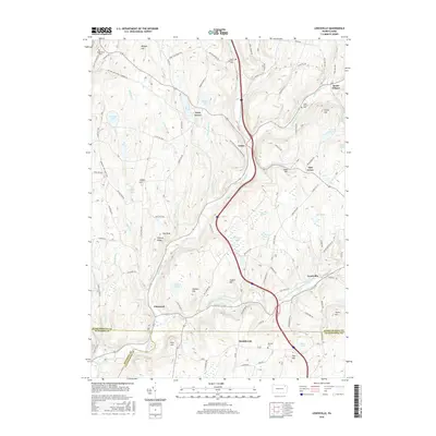 2016 Lenoxville2016 Print · USGSSusquehanna County hills and glacial lakes define this landscape in the mid-2010s. Researchers can trace historic routes like the Milford and Owego Turnpike Rd and locate family sites at South Gibson Cem or South Harford Cem.
- 2016 Map of Forest City, 2016 Print
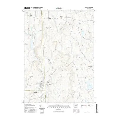 2016 Forest City2016 Print · USGSThe Upper Lackawanna Valley settlements of Forest City and Vandling are shown in 2016 at the intersection of three counties. Local historians can trace cemetery locations like Saint James Cem and map the drainage of the Lackawanna River and Brace Brook Reservoir.
- 2016 Map of Clifford, 2016 Print
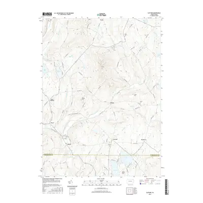 2016 Clifford2016 Print · USGSSusquehanna and Lackawanna counties meet in this 2010s survey, showing a landscape of upland ridges and old crossroads. Genealogists can trace several burial grounds including Lyons Street Cemetery and Burdick Cemetery near the shores of Crystal Lake.
- 2019 Map of Forest City, 2019 Print
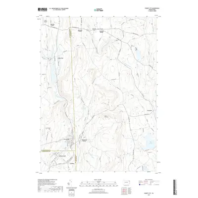 2019 Forest City2019 Print · USGSThe tri-county borderlands of Susquehanna, Wayne, and Lackawanna counties are captured here in the late twenty-tens. Researchers can trace the path of the Old Newburg Tpke through historic settlements like Union Dale, Pleasant Mount, and Forest City.
- 2019 Map of Clifford, 2019 Print
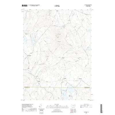 2019 Clifford2019 Print · USGSThe Susquehanna County highlands around Clifford are shown in detail as they appeared in 2019. Researchers can trace local lineage through several burial sites like Willow View Cem and explore the historic turnpike village of Dundaff.
- 2019 Map of Lenoxville, 2019 Print
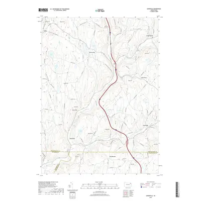 2019 Lenoxville2019 Print · USGSNortheastern Pennsylvania’s rural landscape is detailed here during the late twenty-teens, showing the intersection of three counties. Researchers can trace family sites near South Harford Cem or follow the waters of Tunkhannock Creek through Lenoxville.
- 2023 Map of Clifford, 2023 Print
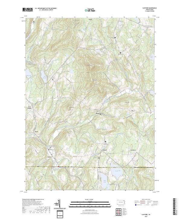 2023 Clifford2023 Print · USGSSusquehanna County highlands are shown here in the 2020s, centered on the historic crossroads of Clifford and Dundaff. Genealogists can trace family heritage at the Lyon Burial Ground, Welsh Hill Cem, and the Burdick Cem.
- 2023 Map of Lenoxville, 2023 Print
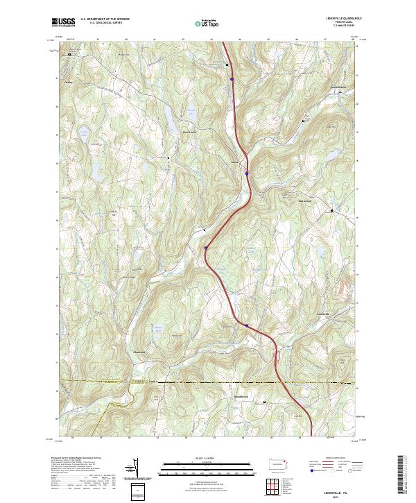 2023 Lenoxville2023 Print · USGSSusquehanna County at the turn of the twenty-first century reveals a landscape of winding creeks and high ridges. Trace local history through Maplewood Cemetery, follow the path of Tunkhannock Creek, or locate the historic West Lenox settlement.
- 2023 Map of Forest City, 2023 Print
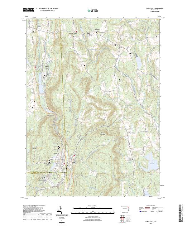 2023 Forest City2023 Print · USGSThe northern Moosic Mountains come into focus on the Susquehanna and Wayne County borders in this modern survey. Genealogists can trace family lines through the Meredith Family Cem, Wheeler Hill Cem, and the distinctive Old Colonial Mausoleum.
End of results
Showing maps 1-15 of 15
Top cities near Clifford Township
- Scranton historical maps
- Carbondale historical maps
- Blakely historical maps
- Archbald historical maps
- Dickson City historical maps
- Clarks Summit historical maps
See more
Top neighborhoods of Clifford Township
- Birchtown historical maps
- Dundaff historical maps
- Elkdale historical maps
- West Clifford historical maps
- Royal historical maps
Frequently asked questions
- What are the different types of historical maps available for Clifford Township?
- What is the oldest map of Clifford Township?
- Where can I purchase historical maps of Clifford Township for my home or office?
- Where can I download high-res historical maps of Clifford Township?
- Are there historical topographic maps available for Clifford Township?
- Is there historical aerial imagery available for Clifford Township?
- Where are historical maps of Clifford Township sourced from?