2000s (21st Century) Maps of New Milford Township, Pennsylvania
Explore 20 historic maps of New Milford Township from the 2000s (21st Century). These maps offer a rare glimpse into what life looked like during the 2000s — showing old roads, neighborhoods, homes, and landmarks that have changed or disappeared over time.
Whether you're researching your family's past, planning a metal detecting trip, or studying how New Milford Township's landscape evolved across the 2000s, these high-resolution maps are a powerful tool for exploring the history of this region.
- Focus on a specific era: All maps on this page are from the 2000s, giving you a focused view of this time period.
- See what’s changed: Compare century-old streets, trails, and buildings to today's modern landscape using overlays and satellite layers.
- Research with precision: Use these maps for genealogy, historical research, land use analysis, or educational projects.
- View, download, or print: Maps are fully viewable online in high resolution, and can be downloaded or printed for your own records.
Start exploring New Milford Township's history through authentic maps from the 2000s. This is your window into the past.
New Milford Township, PA maps
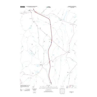
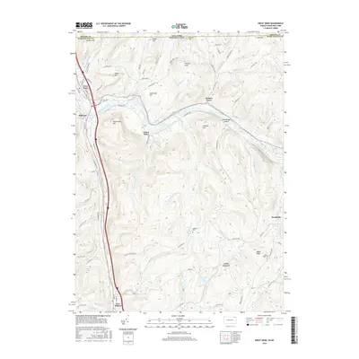
(20)- 2010 Map of Great Bend, 2010 Print
 2010 Great Bend2010 Print · USGSCovers New Milford Township, including Windsor, Kirkwood, and other nearby areas
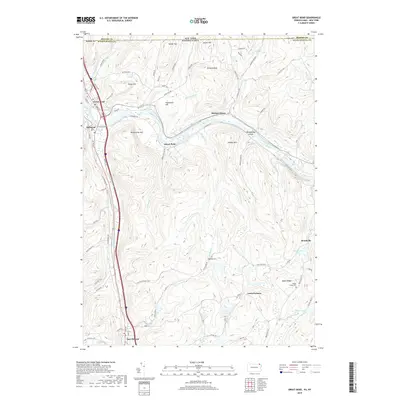
 - 2010 Map of Franklin Forks, 2010 Print
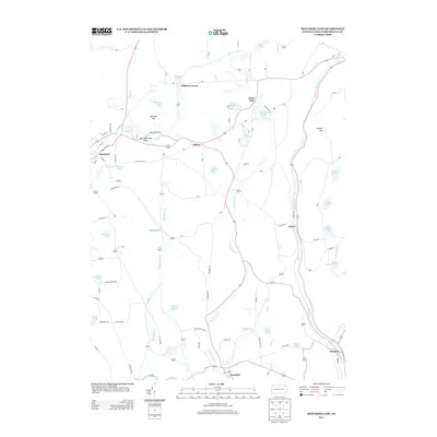
 2010 Franklin Forks2010 Print · USGSCovers New Milford Township, including Kirkwood, Conklin, and other nearby areas
 - 2010 Map of Montrose East, 2010 Print
 2010 Montrose East2010 Print · USGSCovers New Milford Township, including Bridgewater Township, Harford Township, and other nearby areas
 - 2010 Map of Harford, 2010 Print
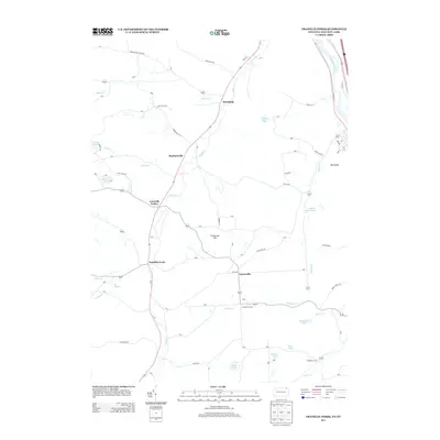
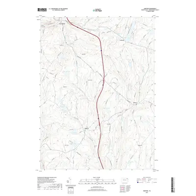
 2010 Harford2010 Print · USGSCovers New Milford Township, including Harford Township, Gibson Township, and other nearby areas
 - 2013 Map of Harford, 2013 Print
 2013 Harford2013 Print · USGSCovers New Milford Township, including Harford Township, Gibson Township, and other nearby areas
 - 2013 Map of Franklin Forks, 2013 Print
 2013 Franklin Forks2013 Print · USGSCovers New Milford Township, including Kirkwood, Conklin, and other nearby areas
 - 2013 Map of Montrose East, 2013 Print
 2013 Montrose East2013 Print · USGSCovers New Milford Township, including Bridgewater Township, Harford Township, and other nearby areas
 - 2013 Map of Great Bend, 2013 Print
 2013 Great Bend2013 Print · USGSCovers New Milford Township, including Windsor, Kirkwood, and other nearby areas
 - 2016 Map of Montrose East, 2016 Print
 2016 Montrose East2016 Print · USGSCovers New Milford Township, including Bridgewater Township, Harford Township, and other nearby areas
 - 2016 Map of Franklin Forks, 2016 Print
 2016 Franklin Forks2016 Print · USGSCovers New Milford Township, including Kirkwood, Conklin, and other nearby areas
 - 2016 Map of Great Bend, 2016 Print
 2016 Great Bend2016 Print · USGSCovers New Milford Township, including Windsor, Kirkwood, and other nearby areas
 - 2016 Map of Harford, 2016 Print
 2016 Harford2016 Print · USGSCovers New Milford Township, including Harford Township, Gibson Township, and other nearby areas
 - 2019 Map of Montrose East, 2019 Print
 2019 Montrose East2019 Print · USGSCovers New Milford Township, including Bridgewater Township, Harford Township, and other nearby areas
 - 2019 Map of Great Bend, 2019 Print
 2019 Great Bend2019 Print · USGSCovers New Milford Township, including Windsor, Kirkwood, and other nearby areas
 - 2019 Map of Harford, 2019 Print
 2019 Harford2019 Print · USGSCovers New Milford Township, including Harford Township, Gibson Township, and other nearby areas
 - 2019 Map of Franklin Forks, 2019 Print
 2019 Franklin Forks2019 Print · USGSCovers New Milford Township, including Kirkwood, Conklin, and other nearby areas
 - 2023 Map of Montrose East, 2023 Print
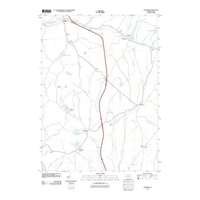
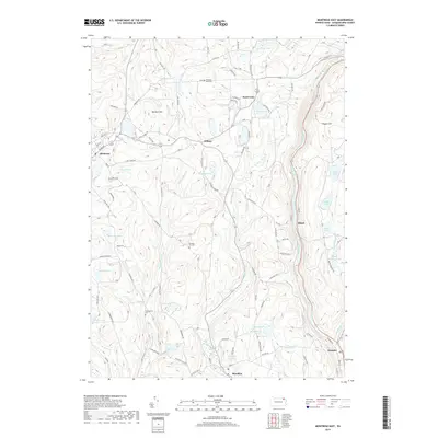
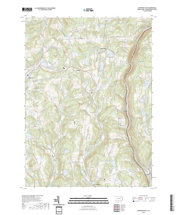 2023 Montrose East2023 Print · USGSSusquehanna County in the early twenty-first century remains a landscape of historic hilltop roads and glacial pond clusters. Researchers can trace family sites near Mountainview Cem, follow the Martins Creek corridor through Alford, or locate landmarks like Birchard Hill.
 - 2023 Map of Harford, 2023 Print
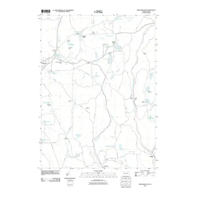
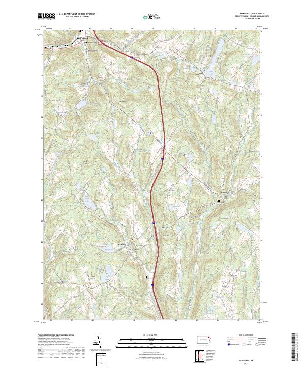 2023 Harford2023 Print · USGSSusquehanna County’s rolling upland plateau comes into focus in this recent survey of the Harford and New Milford area. Genealogists and local historians can trace family plots at Harford Cem and Gibson Cem or explore the shores of Tingley Lake.
 - 2023 Map of Franklin Forks, 2023 Print
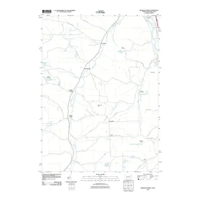
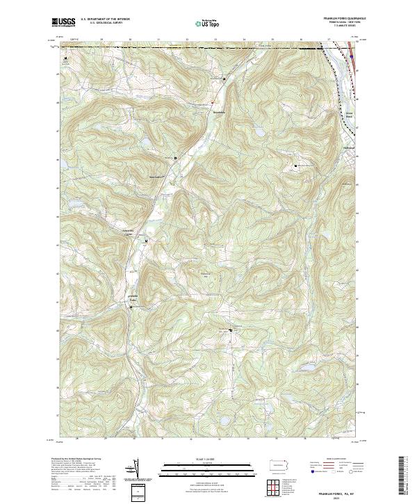 2023 Franklin Forks2023 Print · USGSSusquehanna County’s highland terrain and creek valleys are captured in modern detail just south of the New York border. Genealogists can trace family heritage through numerous remote burial sites like Butts - Martin Farm Cem, Lawsville Cem, and Mountain Valley Cem.
 - 2023 Map of Great Bend, 2023 Print
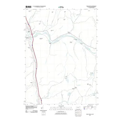
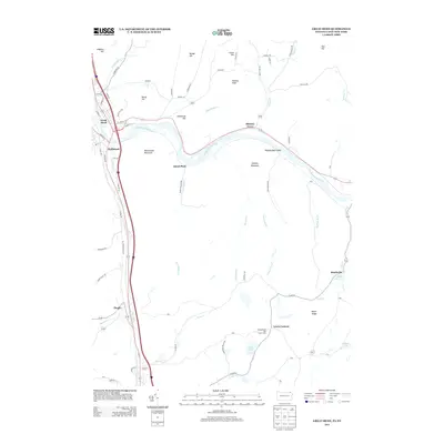
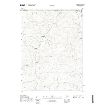
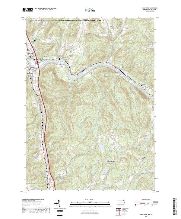 2023 Great Bend2023 Print · USGSThe Susquehanna River valley near the New York border is shown here in its modern landscape, where historical settlements and transportation corridors converge. Family historians can locate numerous burial sites, from Rose Hill Cem to the First Presbyterian Church Cem, alongside landmarks like Woodbridge Island.
End of results
Showing maps 1-20 of 20
Top cities near New Milford Township
- Union historical maps
- Binghamton historical maps
- Windsor historical maps
- Kirkwood historical maps
- Conklin historical maps
- Binghamton historical maps
See more
Top neighborhoods of New Milford Township
Frequently asked questions
- What are the different types of historical maps available for New Milford Township?
- What is the oldest map of New Milford Township?
- Where can I purchase historical maps of New Milford Township for my home or office?
- Where can I download high-res historical maps of New Milford Township?
- Are there historical topographic maps available for New Milford Township?
- Is there historical aerial imagery available for New Milford Township?
- Where are historical maps of New Milford Township sourced from?