Old Maps of Chatham Township, Pennsylvania for Genealogy
Trace your family roots with 33 historic maps of Chatham Township. These high-res maps reveal old neighborhoods, homesites, landmarks, and streets — helping you uncover where your ancestors lived and how the area evolved over time.
- Explore historic neighborhoods: Identify where your relatives may have lived in the 1800s or 1900s.
- Compare maps over time: Trace the changes in streets, buildings, and landmarks for multi-generational research.
- Perfect for genealogy & ancestry research: Used by family historians and researchers to map out lineage and migration.
These maps are an incredible resource for exploring your personal connection to Chatham Township's past.
Chatham Township, PA maps
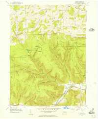
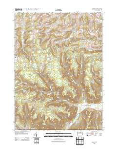
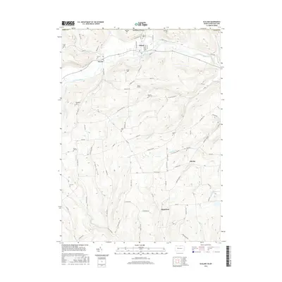
(33)- 1900 Map of Elkland
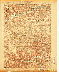 1900 Elkland1900 Print · USGSTioga County at the turn of the century is defined by its deep river valleys and the expanding rail networks of the Cowanesque River. Genealogists and local historians can trace the early footprints of Knoxville, Academy Corners, and the rail junction at Stokesdale Junc.5 unique versions available
 - 1954 Map of Williamsport
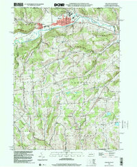
 1954 Williamsport1954 Print · USGSNorth-central Pennsylvania in the mid-fifties is defined by the winding West Branch Susquehanna River and its industrial valley. Local historians can trace the massive Susquehanna Ordnance Depot and the extensive rail networks of the Pennsylvania Railroad.
 - 1954 Map of Elkland, 1956 Print
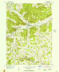
 1954 Elkland1956 Print · USGSThe Cowanesque River valley thrived in the mid-1950s as a vital transportation and industrial corridor along the New York state line. Genealogists and historians can locate family landmarks like Karls Corners and numerous rural cemeteries including McCollum Cem and Taylor Cem.4 unique versions available
 - 1954 Map of Knoxville, 1956 Print
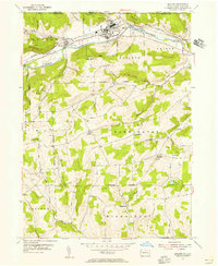
 1954 Knoxville1956 Print · USGSNorthern Tioga County in the mid-1950s is defined by its deep river valleys and the dual rail lines serving Knoxville. Genealogists can trace family sites like Woodlawn Cem and Academy Corners or locate the rural Jemison Valley Ch.3 unique versions available
 - 1954 Map of Kenneyville, 1956 Print
 1954 Kenneyville1956 Print · USGSTioga County's deep valleys and timbered ridges are captured here in the mid-fifties, just as the rural economy balanced rail-side industry with mountain recreation. Genealogists and hikers can trace old routes like the Bark Slide Trail or locate the Marsh Creek Sch and Middlebury Union Cem.3 unique versions available
 - 1954 Map of Asaph, 1956 Print
 1954 Asaph1956 Print · USGSTioga County highlands come into focus in the mid-1950s, showing a rugged landscape of ridges and timber trails before the interstate era. Researchers can trace the NEW YORK CENTRAL rail line and find local landmarks like Hessel Gesser Millstone and Ansonia Sta.3 unique versions available
 - 1960 Map of Williamsport
 1960 Williamsport1960 Print · USGSNorth-central Pennsylvania in the mid-twentieth century was a vital corridor of rail and river industry stretching from the New York line to the coal regions. Genealogists can trace the rail networks of the Pennsylvania RR and Lehigh Valley RR connecting towns like Williamsport, Towanda, and Lock Haven.
 - 1962 Map of Williamsport, 1966 Print
 1962 Williamsport1966 Print · USGSNorth-central Pennsylvania was a landscape of industrial river hubs and vast state woodlands in the early sixties. Researchers can trace the path of the Pennsylvania Railroad through Williamsport and explore the remote reaches of Bucktail State Park.5 unique versions available
 - 1965 Map of Williamsport
 1965 Williamsport1965 Print · USGSNorth-central Pennsylvania in the mid-1960s is defined by the industrial river towns and vast timberlands of the Allegheny Plateau. Researchers can trace historic rail lines like the Erie Lackawanna and Reading as they thread through Williamsport, Lock Haven, and Jersey Shore.
 - 1966 Map of Williamsport
 1966 Williamsport1966 Print · USGSThe Susquehanna Valley was a hub of transit and industry in the mid-seventies, where the river's West Branch connected major college towns and timberlands. Researchers can trace historical rail lines like the Reading or locate regional landmarks from Jersey Shore to Ricketts Glen State Park.
 - 1981 Map of Wellsboro, 1982 Print
 1981 Wellsboro1982 Print · USGSNorthern Pennsylvania in the early eighties shows a landscape of deep river gorges and vast state forests. Trace the rail lines of Conrail and explore old settlements from Coudersport to the Pine Creek Gorge.
 - 1994 Map of Keeneyville, 1998 Print
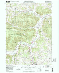 1994 Keeneyville1998 Print · USGSTioga County life in the late twentieth century is documented here along the winding valleys of Crooked Creek and Marsh Creek. Researchers can trace the legacy of small communities and rural institutions like the Catlin Hollow Ch and Niles Valley Cem.
 - 1999 Map of Elkland, 2001 Print
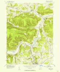
 1999 Elkland2001 Print · USGSThe Cowanesque River valley at the New York border is shown here at the close of the twentieth century. Researchers can trace family roots through numerous highland burial grounds like Taylor Cem and rural centers such as Karls Corners and Farmington Ch.
 - 2010 Map of Elkland, 2010 Print
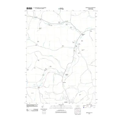
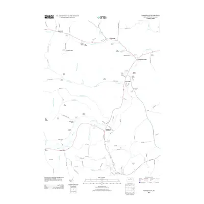
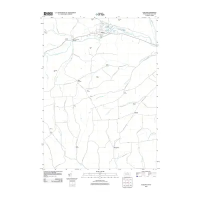 2010 Elkland2010 Print · USGSCovers Chatham Township, including Elkland, Woodhull, and other nearby areas
 - 2010 Map of Keeneyville, 2010 Print
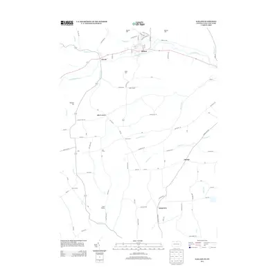
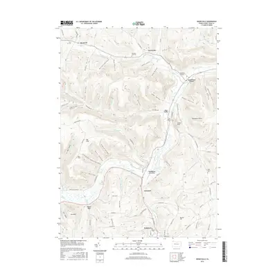
 2010 Keeneyville2010 Print · USGSCovers Chatham Township, including Wellsboro, Keeneyville, and other nearby areas
 - 2010 Map of Asaph, 2010 Print
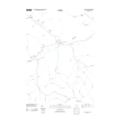
 2010 Asaph2010 Print · USGSCovers Chatham Township, including Clymer Township, Gaines Township, and other nearby areas
 - 2010 Map of Knoxville, 2010 Print
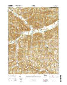
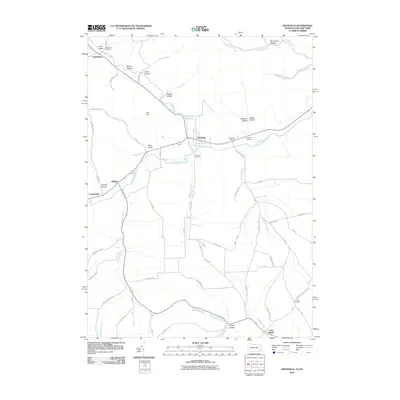 2010 Knoxville2010 Print · USGSCovers Chatham Township, including Woodhull, Troupsburg, and other nearby areas
 - 2013 Map of Elkland, 2013 Print
 2013 Elkland2013 Print · USGSCovers Chatham Township, including Elkland, Woodhull, and other nearby areas
 - 2013 Map of Knoxville, 2013 Print
 2013 Knoxville2013 Print · USGSCovers Chatham Township, including Woodhull, Troupsburg, and other nearby areas
 - 2013 Map of Asaph, 2013 Print
 2013 Asaph2013 Print · USGSCovers Chatham Township, including Clymer Township, Gaines Township, and other nearby areas
 - 2013 Map of Keeneyville, 2013 Print
 2013 Keeneyville2013 Print · USGSCovers Chatham Township, including Wellsboro, Keeneyville, and other nearby areas
 - 2016 Map of Asaph, 2016 Print
 2016 Asaph2016 Print · USGSCovers Chatham Township, including Clymer Township, Gaines Township, and other nearby areas
 - 2016 Map of Keeneyville, 2016 Print
 2016 Keeneyville2016 Print · USGSCovers Chatham Township, including Wellsboro, Keeneyville, and other nearby areas
 - 2016 Map of Knoxville, 2016 Print
 2016 Knoxville2016 Print · USGSCovers Chatham Township, including Woodhull, Troupsburg, and other nearby areas
 - 2016 Map of Elkland, 2016 Print
 2016 Elkland2016 Print · USGSCovers Chatham Township, including Elkland, Woodhull, and other nearby areas
Showing maps 1-25 of 33
Top cities near Chatham Township
- Erwin historical maps
- Wellsboro historical maps
- Addison historical maps
- Lindley historical maps
- Elkland historical maps
- Woodhull historical maps
See more
Top neighborhoods of Chatham Township
Frequently asked questions
- What are the different types of historical maps available for Chatham Township?
- What is the oldest map of Chatham Township?
- Where can I purchase historical maps of Chatham Township for my home or office?
- Where can I download high-res historical maps of Chatham Township?
- Are there historical topographic maps available for Chatham Township?
- Is there historical aerial imagery available for Chatham Township?
- Where are historical maps of Chatham Township sourced from?