2000s (21st Century) Maps of Covington Township, Pennsylvania
Explore 20 historic maps of Covington Township from the 2000s (21st Century). These maps offer a rare glimpse into what life looked like during the 2000s — showing old roads, neighborhoods, homes, and landmarks that have changed or disappeared over time.
Whether you're researching your family's past, planning a metal detecting trip, or studying how Covington Township's landscape evolved across the 2000s, these high-resolution maps are a powerful tool for exploring the history of this region.
- Focus on a specific era: All maps on this page are from the 2000s, giving you a focused view of this time period.
- See what’s changed: Compare century-old streets, trails, and buildings to today's modern landscape using overlays and satellite layers.
- Research with precision: Use these maps for genealogy, historical research, land use analysis, or educational projects.
- View, download, or print: Maps are fully viewable online in high resolution, and can be downloaded or printed for your own records.
Start exploring Covington Township's history through authentic maps from the 2000s. This is your window into the past.
Covington Township, PA maps
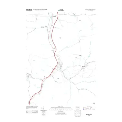
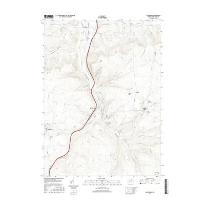
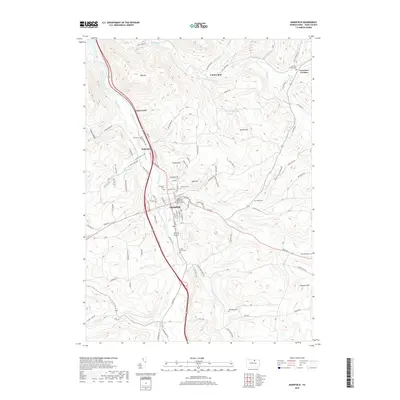
(20)- 2010 Map of Blossburg, 2010 Print
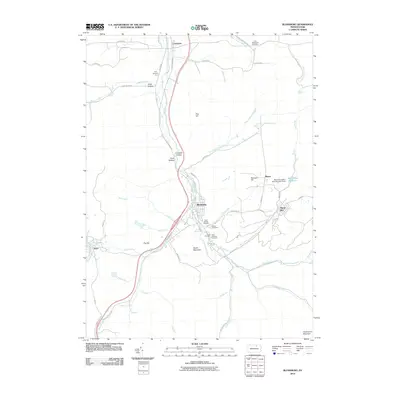 2010 Blossburg2010 Print · USGSCovers Covington Township, including Blossburg, Covington, and other nearby areas
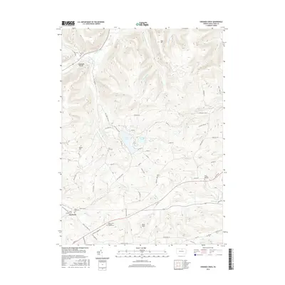
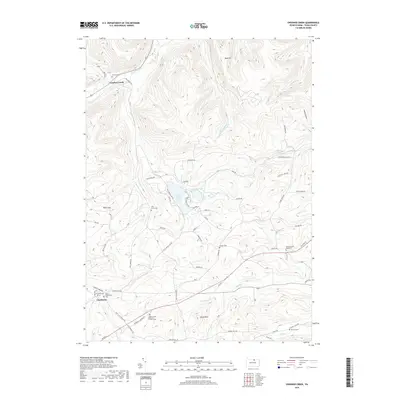
 - 2010 Map of Crooked Creek, 2010 Print
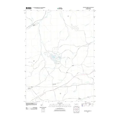 2010 Crooked Creek2010 Print · USGSCovers Covington Township, including Tioga Township, Crooked Creek, and other nearby areas
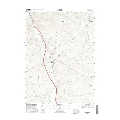
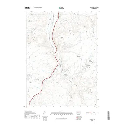
 - 2010 Map of Mansfield, 2010 Print
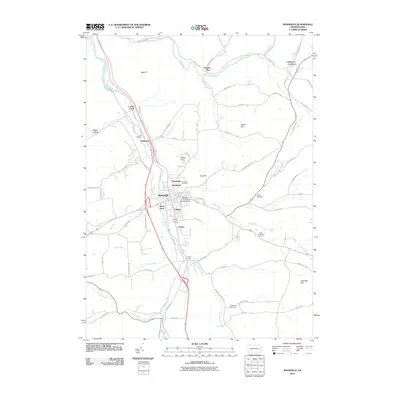 2010 Mansfield2010 Print · USGSCovers Covington Township, including Mansfield, Sullivan Township, and other nearby areas
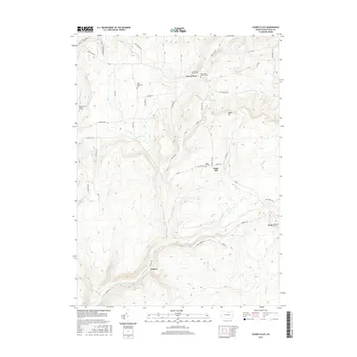
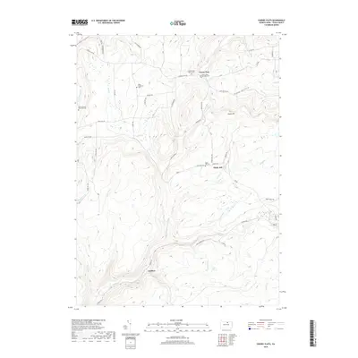
 - 2010 Map of Cherry Flats, 2010 Print
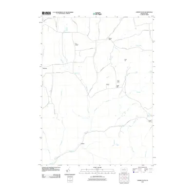 2010 Cherry Flats2010 Print · USGSCovers Covington Township, including Morris Township, Duncan Township, and other nearby areas
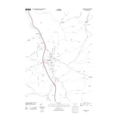
 - 2013 Map of Blossburg, 2013 Print
 2013 Blossburg2013 Print · USGSCovers Covington Township, including Blossburg, Covington, and other nearby areas
 - 2013 Map of Mansfield, 2013 Print
 2013 Mansfield2013 Print · USGSCovers Covington Township, including Mansfield, Sullivan Township, and other nearby areas
 - 2013 Map of Crooked Creek, 2013 Print
 2013 Crooked Creek2013 Print · USGSCovers Covington Township, including Tioga Township, Crooked Creek, and other nearby areas
 - 2013 Map of Cherry Flats, 2013 Print
 2013 Cherry Flats2013 Print · USGSCovers Covington Township, including Morris Township, Duncan Township, and other nearby areas
 - 2016 Map of Blossburg, 2016 Print
 2016 Blossburg2016 Print · USGSCovers Covington Township, including Blossburg, Covington, and other nearby areas
 - 2016 Map of Mansfield, 2016 Print
 2016 Mansfield2016 Print · USGSCovers Covington Township, including Mansfield, Sullivan Township, and other nearby areas
 - 2016 Map of Crooked Creek, 2016 Print
 2016 Crooked Creek2016 Print · USGSCovers Covington Township, including Tioga Township, Crooked Creek, and other nearby areas
 - 2016 Map of Cherry Flats, 2016 Print
 2016 Cherry Flats2016 Print · USGSCovers Covington Township, including Morris Township, Duncan Township, and other nearby areas
 - 2019 Map of Mansfield, 2019 Print
 2019 Mansfield2019 Print · USGSCovers Covington Township, including Mansfield, Sullivan Township, and other nearby areas
 - 2019 Map of Blossburg, 2019 Print
 2019 Blossburg2019 Print · USGSCovers Covington Township, including Blossburg, Covington, and other nearby areas
 - 2019 Map of Crooked Creek, 2019 Print
 2019 Crooked Creek2019 Print · USGSCovers Covington Township, including Tioga Township, Crooked Creek, and other nearby areas
 - 2019 Map of Cherry Flats, 2019 Print
 2019 Cherry Flats2019 Print · USGSCovers Covington Township, including Morris Township, Duncan Township, and other nearby areas
 - 2023 Map of Cherry Flats, 2023 Print
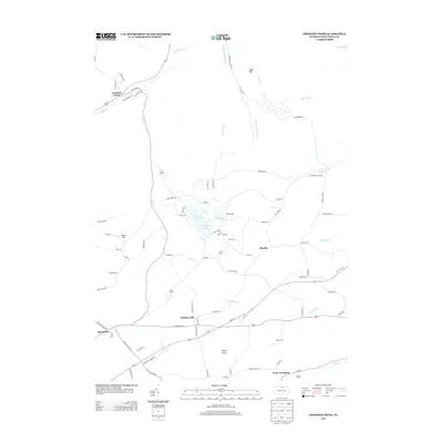
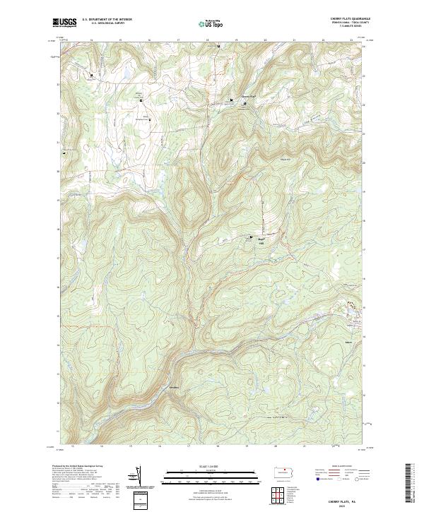 2023 Cherry Flats2023 Print · USGSTioga County's timbered valleys and old settlements are shown here as they appear today, preserving the footprint of early Pennsylvania residents. Researchers can trace family history at the Welsh Settlement Cem, Cherry Flats, or the remote Round Top Cem.
 - 2023 Map of Blossburg, 2023 Print
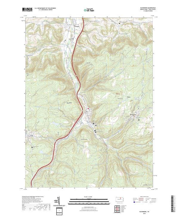 2023 Blossburg2023 Print · USGSTioga County's coal-country settlements are captured here in the contemporary era. Researchers can trace family history through a dense network of local burial sites like Gray Cem, Morris Run Cem, and the Saint Josephs Cem.
 - 2023 Map of Mansfield, 2023 Print
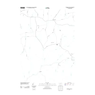
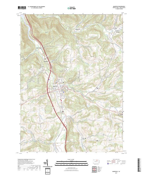 2023 Mansfield2023 Print · USGSTioga County's river valleys and university grounds are captured here in the early twenty-first century. Genealogists and local historians can locate numerous small burial sites like Clark Cem and Ripley Cem or trace the early paths of Corey Creek and Painter Run.
 - 2023 Map of Crooked Creek, 2023 Print
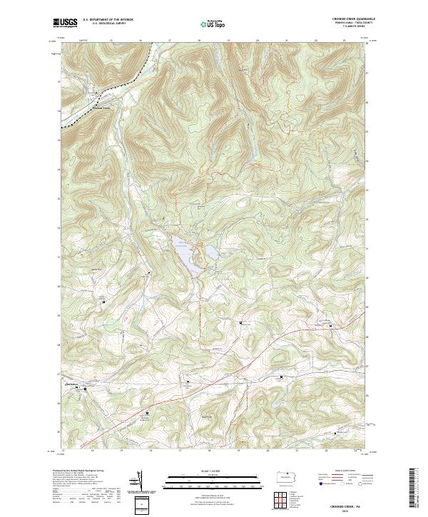 2023 Crooked Creek2023 Print · USGSTioga County's highland valleys and rural cemeteries are well-preserved in this modern survey of the region. Genealogists can locate numerous burial sites like Bullock Cem and Hills Creek Cem, or trace the path of the Mid State Trl.
End of results
Showing maps 1-20 of 20
Top cities near Covington Township
- Mansfield historical maps
- Wellsboro historical maps
- Blossburg historical maps
- Covington historical maps
- Osceola Township historical maps
- Morris Township historical maps
See more
Top neighborhoods of Covington Township
Frequently asked questions
- What are the different types of historical maps available for Covington Township?
- What is the oldest map of Covington Township?
- Where can I purchase historical maps of Covington Township for my home or office?
- Where can I download high-res historical maps of Covington Township?
- Are there historical topographic maps available for Covington Township?
- Is there historical aerial imagery available for Covington Township?
- Where are historical maps of Covington Township sourced from?