Old Maps of Lawrence Township, Pennsylvania for Metal Detecting
Plan your next treasure hunt with 27 historic maps of Lawrence Township. Find old homesites, ghost towns, trails, and gathering spots that may be lost to time — perfect for identifying promising metal detecting locations.
- Locate forgotten sites: Uncover places like long-lost settlements, abandoned rail lines, or gathering spots.
- Plan better hunts: Use map overlays combined with LiDAR or satellite views to narrow in on historically rich areas.
- Made for detectorists: Thousands of hobbyists use these maps to discover relics, coins, and hidden history.
Use these historic maps to boost your research and find new opportunities beneath the surface of Lawrence Township.
Lawrence Township, PA maps
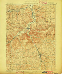
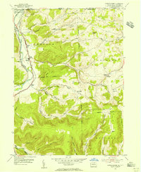
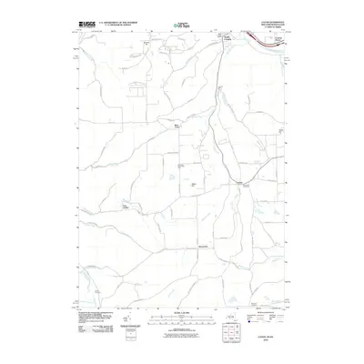
(27)- 1900 Map of Tioga
 1900 Tioga1900 Print · USGSTioga County at the turn of the century shows a landscape defined by the busy river corridors and the arrival of major rail networks. Researchers can trace the early footprints of Lawrenceville, Mansfield, and Tioga, or locate rural landmarks like Jackson Summit and Canoe Camp.
 - 1902 Map of Tioga
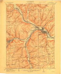
 1902 Tioga1902 Print · USGSNorthern Tioga County at the turn of the century shows a landscape dominated by the convergence of major rail lines and river valleys. Genealogists can trace family roots in riverside settlements like Canoe Camp or explore vanished rail stops like Tompkins and Hammond.5 unique versions available
 - 1914 Map of Corning
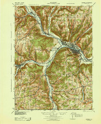
 1914 Corning1914 Print · USGSSteuben County is a thriving rail and river hub during the early twentieth century, centered on the strategic confluence at Painted Post. Genealogists and local historians can locate dozens of neighborhood landmarks, including French's Mill, Lumber City School, and the remote Liberty Pole School.6 unique versions available
 - 1944 Map of Corning
 1944 Corning1944 Print · USGSSteuben County was a vital rail and river junction during the Second World War. Genealogists and historians can trace an incredible density of rural landmarks, from Frenchs Mill to the many country schoolhouses like Lumber City Sch and Liberty Pole Sch.
 - 1950 Map of Elmira
 1950 Elmira1950 Print · USGSThe Finger Lakes region thrived in the late 1940s as a hub of industry and transport. Trace family roots and vanished landmarks near Seneca Lake or explore the rail lines of the Erie RR and the sprawling Seneca Ordnance Depot.2 unique versions available
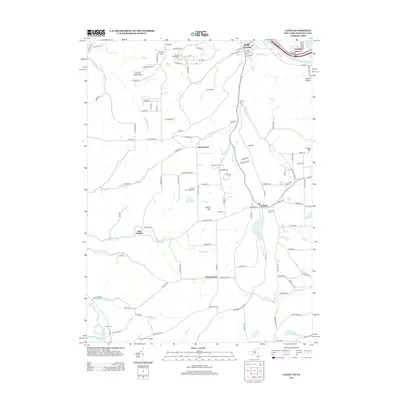
 - 1953 Map of Caton, 1955 Print
 1953 Caton1955 Print · USGSThe Chemung River valley and the rural uplands south of Corning are captured here in the mid-fifties. Researchers can trace family roots through numerous local landmarks like Elmwood Cem, Frenchs Mill, and several named schoolhouses.2 unique versions available
 - 1954 Map of Williamsport
 1954 Williamsport1954 Print · USGSNorth-central Pennsylvania in the mid-fifties is defined by the winding West Branch Susquehanna River and its industrial valley. Local historians can trace the massive Susquehanna Ordnance Depot and the extensive rail networks of the Pennsylvania Railroad.
 - 1954 Map of Jackson Summit, 1956 Print
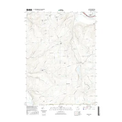
 1954 Jackson Summit1956 Print · USGSTioga County is captured here in the mid-1950s as a landscape of valley railroads and upland farming communities along the New York border. Researchers can trace family roots through several local burial grounds like Morrell Cem and early landmarks such as the Williamson Sch.4 unique versions available
 - 1954 Map of Tioga, 1956 Print
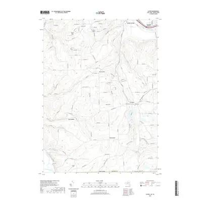
 1954 Tioga1956 Print · USGSTioga County's river valleys thrive in the mid-1950s as vital transport corridors for the New York Central Line and Erie RR. Local historians can trace the foundations of Lawrenceville and Tioga, or locate rural landmarks like Tompkins Ch and the Dailey Cem.4 unique versions available
 - 1958 Map of Elmira
 1958 Elmira1958 Print · USGSThe New York Finger Lakes during the late fifties reveal a complex landscape of glacial geology and industrial growth. Researchers can trace historic transport corridors like the Erie Canal and Erie RR, or locate institutional landmarks like Cornell University.2 unique versions available
 - 1960 Map of Williamsport
 1960 Williamsport1960 Print · USGSNorth-central Pennsylvania in the mid-twentieth century was a vital corridor of rail and river industry stretching from the New York line to the coal regions. Genealogists can trace the rail networks of the Pennsylvania RR and Lehigh Valley RR connecting towns like Williamsport, Towanda, and Lock Haven.
 - 1962 Map of Williamsport, 1966 Print
 1962 Williamsport1966 Print · USGSNorth-central Pennsylvania was a landscape of industrial river hubs and vast state woodlands in the early sixties. Researchers can trace the path of the Pennsylvania Railroad through Williamsport and explore the remote reaches of Bucktail State Park.5 unique versions available
 - 1962 Map of Elmira, 1969 Print
 1962 Elmira1969 Print · USGSThe Finger Lakes region and Southern Tier are captured here during a period of industrial maturity and highway expansion. Researchers can trace the path of the Erie Canal, the footprint of the Seneca Army Depot, and legacy rail lines through Elmira and Ithaca.4 unique versions available
 - 1965 Map of Elmira
 1965 Elmira1965 Print · USGSThe Finger Lakes and Southern Tier regions are captured in the mid-sixties, showcasing a landscape of deep glacial valleys and heavy rail infrastructure. Trace old railroad corridors like the Pennsylvania RR or visit landmarks like Letchworth State Park and the Seneca Army Depot.
 - 1965 Map of Williamsport
 1965 Williamsport1965 Print · USGSNorth-central Pennsylvania in the mid-1960s is defined by the industrial river towns and vast timberlands of the Allegheny Plateau. Researchers can trace historic rail lines like the Erie Lackawanna and Reading as they thread through Williamsport, Lock Haven, and Jersey Shore.
 - 1966 Map of Williamsport
 1966 Williamsport1966 Print · USGSThe Susquehanna Valley was a hub of transit and industry in the mid-seventies, where the river's West Branch connected major college towns and timberlands. Researchers can trace historical rail lines like the Reading or locate regional landmarks from Jersey Shore to Ricketts Glen State Park.
 - 1969 Map of Caton, 1971 Print
 1969 Caton1971 Print · USGSThe Southern Tier of New York meets the Pennsylvania border in the late sixties, where the Chemung River valley gives way to rural highlands. Genealogists and historians can trace family plots at Barnard Cem and old crossroads at Frenchs Mill or East Lindley.2 unique versions available
 - 1969 Map of Tioga, 1971 Print
 1969 Tioga1971 Print · USGSTioga County, Pennsylvania, is captured here in the late sixties as the river-and-rail economy shaped the borderlands near New York. Genealogists and local historians can trace family plots at Nelson Cem and Tioga Cem, or locate the old Tompkins Ch.
 - 1981 Map of Wellsboro, 1982 Print
 1981 Wellsboro1982 Print · USGSNorthern Pennsylvania in the early eighties shows a landscape of deep river gorges and vast state forests. Trace the rail lines of Conrail and explore old settlements from Coudersport to the Pine Creek Gorge.
 - 1986 Map of Hornell
 1986 Hornell1986 Print · USGSThe Southern Tier and Finger Lakes region thrive in the 1980s as rail and river corridors link Hornell to Corning. Trace local heritage through landmarks like Alfred University, the Veterans Adm Center, and the shores of Keuka Lake.2 unique versions available
 - 2010 Map of Caton, 2010 Print
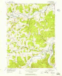
 2010 Caton2010 Print · USGSCovers Lawrence Township, including Erwin, Corning, and other nearby areas
 - 2013 Map of Caton, 2013 Print
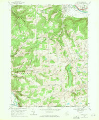
 2013 Caton2013 Print · USGSCovers Lawrence Township, including Erwin, Corning, and other nearby areas
 - 2016 Map of Caton, 2016 Print
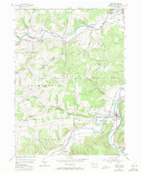
 2016 Caton2016 Print · USGSCovers Lawrence Township, including Erwin, Corning, and other nearby areas
 - 2019 Map of Caton, 2019 Print
 2019 Caton2019 Print · USGSCovers Lawrence Township, including Erwin, Corning, and other nearby areas
 - 2023 Map of Jackson Summit, 2023 Print
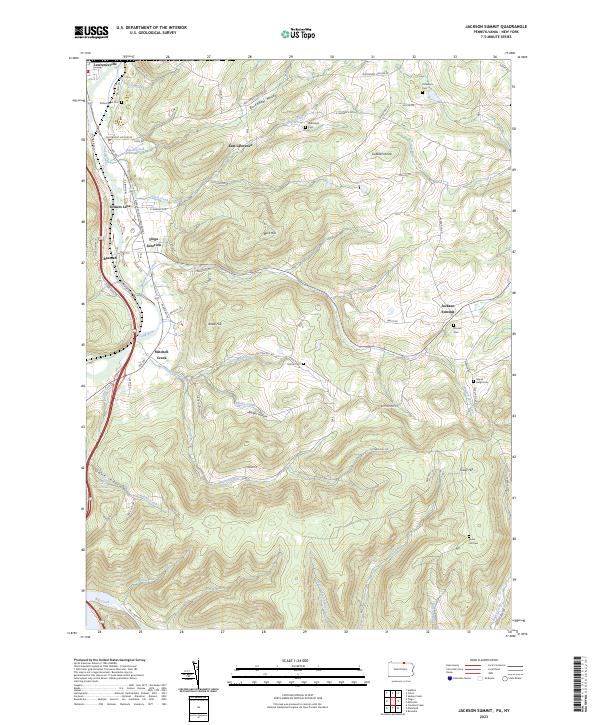 2023 Jackson Summit2023 Print · USGSTioga County's southern borderlands come to life in this detailed view of the Tioga River valley and the Appalachian Throughway. Researchers can trace family history through several rural burial grounds like Maple Ridge Cem and Tower Hill Cem, or explore the old rail-and-road junctions at Tioga Junction and Lawrenceville.
Showing maps 1-25 of 27
Top cities near Lawrence Township
- Corning historical maps
- Southport historical maps
- Erwin historical maps
- Big Flats historical maps
- Corning historical maps
- Big Flats historical maps
See more
Top neighborhoods of Lawrence Township
- Tompkins historical maps
- Tioga Junction historical maps
- Rising historical maps
- Somers Lane historical maps
- Beeman historical maps
- East Lawrence historical maps
Frequently asked questions
- What are the different types of historical maps available for Lawrence Township?
- What is the oldest map of Lawrence Township?
- Where can I purchase historical maps of Lawrence Township for my home or office?
- Where can I download high-res historical maps of Lawrence Township?
- Are there historical topographic maps available for Lawrence Township?
- Is there historical aerial imagery available for Lawrence Township?
- Where are historical maps of Lawrence Township sourced from?