Old Maps of Cherrytree Township, Pennsylvania
Explore 22 old maps of Cherrytree Township, spanning from 1927 to today. These high-resolution historic maps reveal how streets, neighborhoods, landmarks, and natural features evolved over time — perfect for genealogy, metal detecting, research, and local history exploration.
What you can do with these maps:
- See how Cherrytree Township changed over time: Compare historical maps to modern-day views to trace roads, homesites, rail lines & more.
- View detailed metadata: Each map includes creators, publishers, year, scale, and archive source.
- Overlay maps with satellite & LiDAR: Visualize the past alongside modern tools to explore terrain & human change.
- Trusted historical sources: Maps sourced from the USGS, Library of Congress, and other archives.
- Access maps your way: View online, download high-res files, or order prints for personal or research use.
Start exploring old maps of Cherrytree Township to uncover forgotten places, hidden landmarks, and the deep history beneath your feet.
Cherrytree Township, PA maps
(22)- 1927 Map of Townville
 1927 Townville1927 Print · USGSNorthwestern Pennsylvania's rural landscape is captured here in the late 1920s, revealing a network of small townships and family settlements. Genealogists can locate family landmarks like the Donation School, Mt Hope Church, and the lakeside community at Sugar Lake.3 unique versions available
 - 1927 Map of Titusville, 1958 Print
 1927 Titusville1958 Print · USGSThe oil region of northwestern Pennsylvania is captured here in the late 1920s, centered on the industrial and rail hub of Titusville. Genealogists and researchers can locate the historic Drake Oil Well, dozens of country schools like Fink Ridge Sch, and the local Harrison Cem.3 unique versions available
 - 1932 Map of Townville
 1932 Townville1932 Print · USGSCrawford and Venango Counties are captured here in the early thirties, showing a rural landscape of crossroads hamlets and family-named schools. Genealogists can trace ancestral sites from Little Cooley to Dempseytown, including landmarks like Wilson Mills and Sugar Lake.2 unique versions available
 - 1933 Map of Titusville
 1933 Titusville1933 Print · USGSNorthwestern Pennsylvania in the early thirties reveals a landscape defined by the oil industry and rural township life. Genealogists and historians can trace family-named crossroads like Rendalls Corners or locate the historic Drake Oil Well and Asbury Chapel.3 unique versions available
 - 1945 Map of Townville
 1945 Townville1945 Print · USGSCrawford and Venango Counties are documented here during the late 1920s and early 1940s, showing a landscape of small farming hamlets and rural school districts. Genealogists can trace family roots through numerous named locations like Hamilton Cors, Mt Hope Ch, and the many schools like Sugar Grove Sch.
 - 1957 Map of Warren, 1964 Print
 1957 Warren1964 Print · USGSThe northern Pennsylvania oil and timber country comes into focus in the mid-fifties, showing the region before modern highway expansions. Trace the industrial rail networks of the Pennsylvania RR and the early Allegheny River Reservoir near Warren and Oil City.4 unique versions available
 - 1958 Map of Warren
 1958 Warren1958 Print · USGSNorthern Pennsylvania’s timber and oil country is captured here during the late fifties, showing the interplay of industrial valleys and vast state forests. Genealogists can trace family connections across the Cornplanter Indian Reservation or through rail hubs like Oil City and Saint Marys.
 - 1959 Map of Warren
 1959 Warren1959 Print · USGSNorthern Pennsylvania's oil and timber country comes alive in this late-fifties study of the forest-clad plateaus. Trace the historic Cornplanter (Indian Reservation), the sprawling Oil Field, and the rail lines of the Pennsylvania RR.2 unique versions available
 - 1967 Map of Dempseytown, 1972 Print
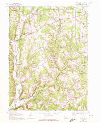 1967 Dempseytown1972 Print · USGSIn the hills of Venango County during the late sixties, rural life centered on small crossroads and local industry. Genealogists can trace family roots through locations like Dempseytown, Trinity Ch, and the Township Sch while exploring the region's oil wells.3 unique versions available
 - 1968 Map of Titusville South, 1971 Print
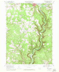 1968 Titusville South1971 Print · USGSThe oil region of Venango County is captured here in the late sixties, where the industrial legacy of the Oil Creek valley meets rural farm life. Researchers can trace the Penn Central line through historic sites like Drake Well State Park and Petroleum Center.5 unique versions available
 - 1971 Map of Warren
 1971 Warren1971 Print · USGSNorth Central Pennsylvania is captured here in the early seventies, showing a landscape defined by industrial centers and massive state forests. Genealogists and historians can trace the rail lines of the Penn Central and Erie Lackawanna connecting towns like Warren, Kane, and Du Bois.
 - 1983 Map of Warren, 1984 Print
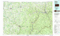 1983 Warren1984 Print · USGSNorthwestern Pennsylvania at the dawn of the 1980s reveals a landscape defined by the petroleum industry and expansive public lands. Trace the legacy of early oil at Drake Well Memorial Park and Pithole City Historical Site, or locate family sites near Warren State Hospital and Kellettville.
 - 2010 Map of Titusville South, 2010 Print
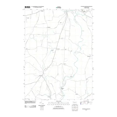 2010 Titusville South2010 Print · USGSThe Pennsylvania Oil Region south of Titusville is shown here in the early twenty-first century, centered on the winding Oil Creek. Genealogists and historians can trace the heritage of local industry through sites like Petroleum Center and Columbia Farm.
 - 2010 Map of Dempseytown, 2010 Print
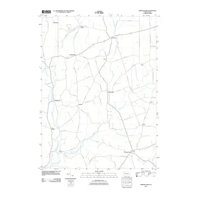 2010 Dempseytown2010 Print · USGSVenango County's rural crossroads and winding creek valleys are documented here in the early twenty-first century. Genealogists and local historians can trace the positions of Fairview Cemetery, Boals Bridge, and small communities like Dempseytown and Sunville.
 - 2013 Map of Dempseytown, 2013 Print
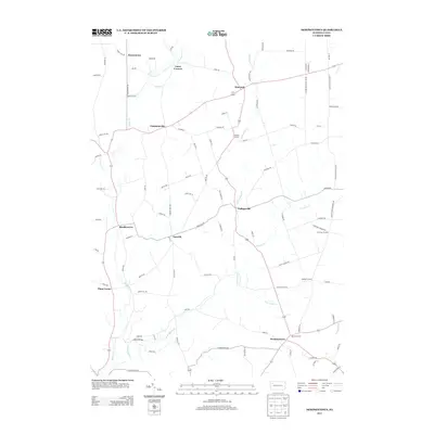 2013 Dempseytown2013 Print · USGSCherrytree Township in the early twenty-first century remains a landscape of historic crossroads and winding creek valleys. Genealogists and local historians can trace the locations of old centers like Dempseytown, Sunville, and Wallaceville along the banks of Little Sugar Cr.
 - 2013 Map of Titusville South, 2013 Print
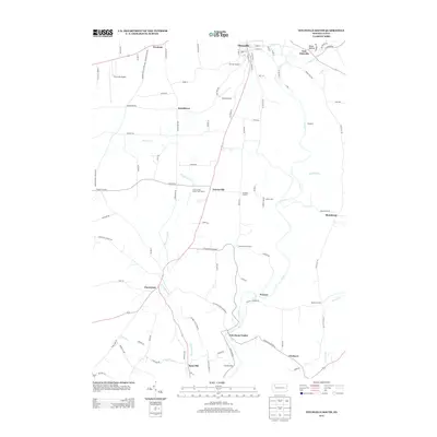 2013 Titusville South2013 Print · USGSThe Titusville area and the Oil Creek valley are shown here in the early twenty-first century, preserving the footprint of the world's first oil boom. Researchers can trace historic industrial sites like Petroleum Center, Columbia Farm, and the unique Oil Seeps along the riverbanks.
 - 2016 Map of Titusville South, 2016 Print
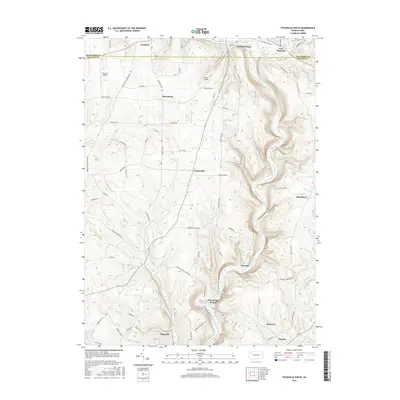 2016 Titusville South2016 Print · USGSThe oil heritage of the Venango and Crawford county line is captured here in the late twenty-first century. Genealogists and historians can trace family locations and old routes through Petroleum Center, Plumer, and along the banks of Oil Creek.
 - 2016 Map of Dempseytown, 2016 Print
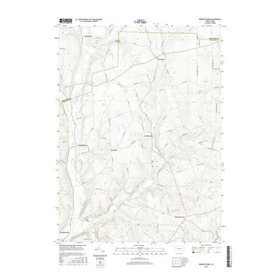 2016 Dempseytown2016 Print · USGSVenango County's northern townships are captured here during a period of quiet rural continuity. Genealogists and local historians can trace family lands near Dempseytown, find the Fairview Cem, and locate old crossings like Boals Bridge.
 - 2019 Map of Titusville South, 2019 Print
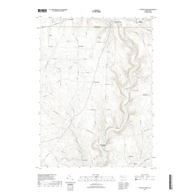 2019 Titusville South2019 Print · USGSThe Pennsylvania oil region comes into focus in this recent survey of the valley south of Titusville. Local historians can trace the heritage of the boom era through Petroleum Center, Oil Seeps, and the grounds of Kerr Hill Cem.
 - 2019 Map of Dempseytown, 2019 Print
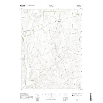 2019 Dempseytown2019 Print · USGSVenango County's northern townships are captured here in the early twenty-first century, showing a landscape defined by the winding Sugar Creek drainage. Researchers can trace family history through Maple Hill Cem or locate old community hubs like Dempseytown and Sunville.
 - 2023 Map of Dempseytown, 2023 Print
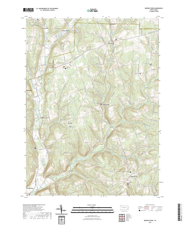 2023 Dempseytown2023 Print · USGSVenango and Crawford counties appear here in their modern rural character, defined by a network of historic crossroads and creek valleys. Genealogists can trace family heritage through the William Armstrong Burial Site, Sunville Cem, and the old community at Wallaceville.
 - 2023 Map of Titusville South, 2023 Print
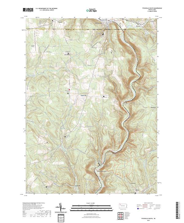 2023 Titusville South2023 Print · USGSThe Pennsylvania oil region south of Titusville comes alive in this contemporary topographical study. Genealogists and historians can locate numerous burial sites and small settlements, including Petroleum Center, Mcclintock Cem, and Pioneer.
End of results
Showing maps 1-22 of 22
Top cities near Cherrytree Township
- Oil City historical maps
- Cranberry Township historical maps
- Franklin historical maps
- Titusville historical maps
- Sugarcreek historical maps
- Pittsfield Township historical maps
See more
Top neighborhoods of Cherrytree Township
Frequently asked questions
- What are the different types of historical maps available for Cherrytree Township?
- What is the oldest map of Cherrytree Township?
- Where can I purchase historical maps of Cherrytree Township for my home or office?
- Where can I download high-res historical maps of Cherrytree Township?
- Are there historical topographic maps available for Cherrytree Township?
- Is there historical aerial imagery available for Cherrytree Township?
- Where are historical maps of Cherrytree Township sourced from?