Old Maps of Sandycreek Township, Pennsylvania for Genealogy
Trace your family roots with 25 historic maps of Sandycreek Township. These high-res maps reveal old neighborhoods, homesites, landmarks, and streets — helping you uncover where your ancestors lived and how the area evolved over time.
- Explore historic neighborhoods: Identify where your relatives may have lived in the 1800s or 1900s.
- Compare maps over time: Trace the changes in streets, buildings, and landmarks for multi-generational research.
- Perfect for genealogy & ancestry research: Used by family historians and researchers to map out lineage and migration.
These maps are an incredible resource for exploring your personal connection to Sandycreek Township's past.
Sandycreek Township, PA maps
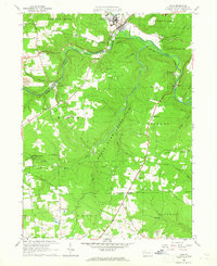
(25)- 1909 Map of Franklin, 1956 Print
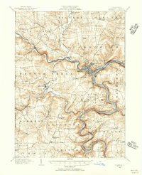 1909 Franklin1956 Print · USGSVenango County at the dawn of the twentieth century is a landscape defined by the deep meanders of the Allegheny River and a dense network of competing railroads. Genealogists can trace rural life through numerous landmarks like Five Points School, Hickory Grove Church, and the State Institute for Feeble Minded at Polk.2 unique versions available
 - 1911 Map of Franklin
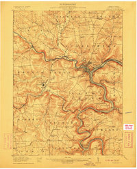 1911 Franklin1911 Print · USGSVenango County at the peak of the rail era shows the busy confluence of the Allegheny River and French Creek. Trace the legacy of early industrial settlements like Coal City, family landmarks at McKenzie Cors, and the grounds of the State Institute for Feeble Minded.4 unique versions available
 - 1957 Map of Warren, 1964 Print
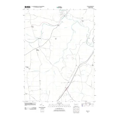
 1957 Warren1964 Print · USGSThe northern Pennsylvania oil and timber country comes into focus in the mid-fifties, showing the region before modern highway expansions. Trace the industrial rail networks of the Pennsylvania RR and the early Allegheny River Reservoir near Warren and Oil City.4 unique versions available
 - 1958 Map of Warren
 1958 Warren1958 Print · USGSNorthern Pennsylvania’s timber and oil country is captured here during the late fifties, showing the interplay of industrial valleys and vast state forests. Genealogists can trace family connections across the Cornplanter Indian Reservation or through rail hubs like Oil City and Saint Marys.
 - 1959 Map of Warren
 1959 Warren1959 Print · USGSNorthern Pennsylvania's oil and timber country comes alive in this late-fifties study of the forest-clad plateaus. Trace the historic Cornplanter (Indian Reservation), the sprawling Oil Field, and the rail lines of the Pennsylvania RR.2 unique versions available
 - 1963 Map of Franklin, 1964 Print
 1963 Franklin1964 Print · USGSThe industrial hub of Franklin and its river-and-rail network are captured here in the early sixties. Researchers can trace the extensive oil fields of Cranberry and locate historic landmarks like the White Fathers Novitiate and Chess-Lamberton Airport.2 unique versions available
 - 1963 Map of Kennerdell, 1965 Print
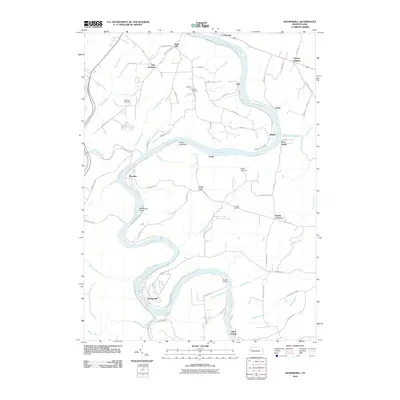
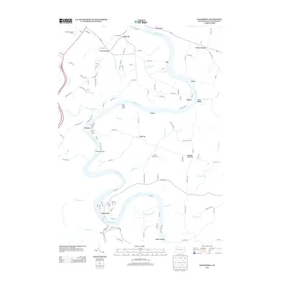
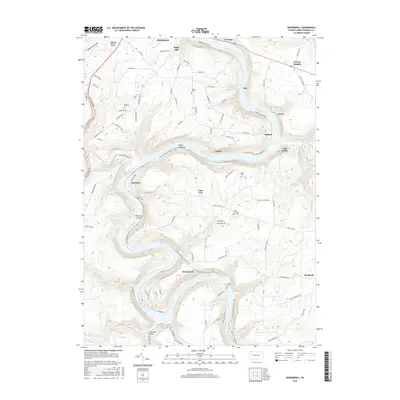
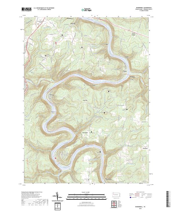
 1963 Kennerdell1965 Print · USGSVenango County's river valleys and oil fields are captured here in the early 1960s as the Allegheny River loops past industrial rail lines. Genealogists and historians can trace the Kennerdell Tunnel, numerous family plots like Graham Cem, and rural hubs such as Coal City and Smiths Corners.4 unique versions available
 - 1963 Map of Polk, 1965 Print
 1963 Polk1965 Print · USGSVenango County's industrial and institutional landscape is captured here in the early 1960s, centered on the confluence of French Creek and Sandy Creek. Genealogists and researchers can map out the extensive oil wells at Raymilton or locate family sites near Hebron Ch and Gadsby Cem.5 unique versions available
 - 1971 Map of Warren
 1971 Warren1971 Print · USGSNorth Central Pennsylvania is captured here in the early seventies, showing a landscape defined by industrial centers and massive state forests. Genealogists and historians can trace the rail lines of the Penn Central and Erie Lackawanna connecting towns like Warren, Kane, and Du Bois.
 - 1983 Map of Oil City, 1984 Print
 1983 Oil City1984 Print · USGSThe Allegheny and Clarion river valleys are shown in the early eighties as a hub of rail lines and conservation lands. Genealogists can trace family connections in Oil City and Franklin or locate rural sites like the Pennsylvania State Hospital and School and Coal City.
 - 2010 Map of Kennerdell, 2010 Print
 2010 Kennerdell2010 Print · USGSCovers Sandycreek Township, including Cranberry Township, Franklin, and other nearby areas
 - 2010 Map of Polk, 2010 Print
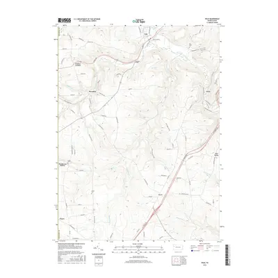
 2010 Polk2010 Print · USGSCovers Sandycreek Township, including Polk, Victory Township, and other nearby areas
 - 2010 Map of Franklin, 2010 Print
 2010 Franklin2010 Print · USGSCovers Sandycreek Township, including Cranberry Township, Franklin, and other nearby areas
 - 2013 Map of Kennerdell, 2013 Print
 2013 Kennerdell2013 Print · USGSCovers Sandycreek Township, including Cranberry Township, Franklin, and other nearby areas
 - 2013 Map of Franklin, 2013 Print
 2013 Franklin2013 Print · USGSCovers Sandycreek Township, including Cranberry Township, Franklin, and other nearby areas
 - 2013 Map of Polk, 2013 Print
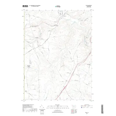
 2013 Polk2013 Print · USGSCovers Sandycreek Township, including Polk, Victory Township, and other nearby areas
 - 2016 Map of Franklin, 2016 Print
 2016 Franklin2016 Print · USGSCovers Sandycreek Township, including Cranberry Township, Franklin, and other nearby areas
 - 2016 Map of Kennerdell, 2016 Print
 2016 Kennerdell2016 Print · USGSCovers Sandycreek Township, including Cranberry Township, Franklin, and other nearby areas
 - 2016 Map of Polk, 2016 Print
 2016 Polk2016 Print · USGSCovers Sandycreek Township, including Polk, Victory Township, and other nearby areas
 - 2019 Map of Franklin, 2019 Print
 2019 Franklin2019 Print · USGSCovers Sandycreek Township, including Cranberry Township, Franklin, and other nearby areas
 - 2019 Map of Polk, 2019 Print
 2019 Polk2019 Print · USGSCovers Sandycreek Township, including Polk, Victory Township, and other nearby areas
 - 2019 Map of Kennerdell, 2019 Print
 2019 Kennerdell2019 Print · USGSCovers Sandycreek Township, including Cranberry Township, Franklin, and other nearby areas
 - 2023 Map of Franklin, 2023 Print
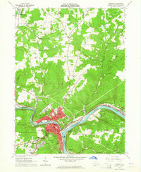
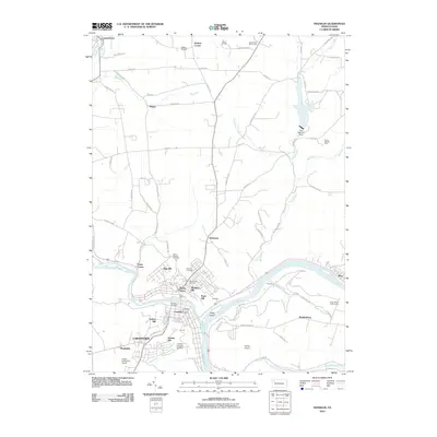
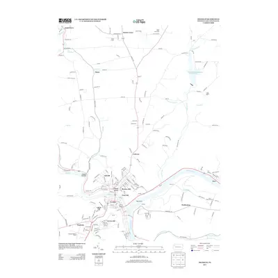
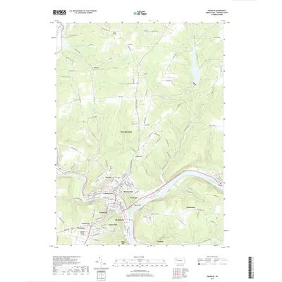
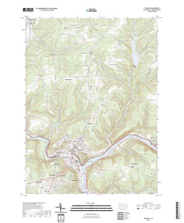 2023 Franklin2023 Print · USGSFranklin and the surrounding Allegheny River valley are shown in high detail in this recent survey. Local researchers can trace modern landmarks alongside historic sites like the Venango County Courthouse, Pioneer Cem, and the settlement of Bredinsburg.
 - 2023 Map of Polk, 2023 Print
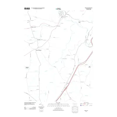
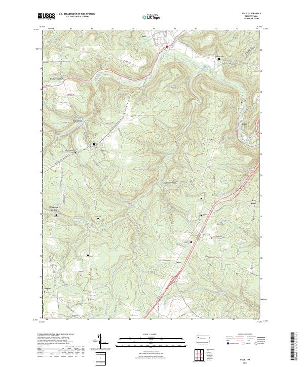 2023 Polk2023 Print · USGSVenango County's rural landscape is captured here during the 2020s, showing a region defined by the winding waters of Sandy Creek and South Sandy Creek. Researchers can locate numerous family-named burial grounds and small parishes, including Old Sandy Cem, Hebron Cem, and Simcox Cem.
 - 2023 Map of Kennerdell, 2023 Print
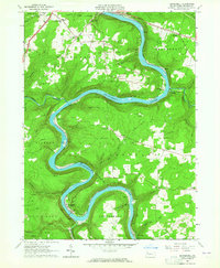
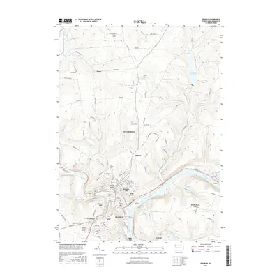
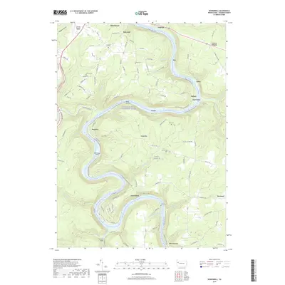
 2023 Kennerdell2023 Print · USGSVenango County's river-driven geography is on full display here as the modern century finds the landscape shaped by its deep valleys. Researchers can trace ancestral sites at the Mays-Smith Cem, locate the small settlement of Coal City, or follow the Middle Allegheny River Water Trail and the North Country National Scenic Trl.
End of results
Showing maps 1-25 of 25
Top cities near Sandycreek Township
- Oil City historical maps
- Grove City historical maps
- Cranberry Township historical maps
- Franklin historical maps
- Sugarcreek historical maps
- Cherrytree Township historical maps
See more
Top neighborhoods of Sandycreek Township
- Uniontown historical maps
- Bully Hill historical maps
- Twin Churchs historical maps
- Ajax historical maps
- Belmar historical maps
- Pecan historical maps
Frequently asked questions
- What are the different types of historical maps available for Sandycreek Township?
- What is the oldest map of Sandycreek Township?
- Where can I purchase historical maps of Sandycreek Township for my home or office?
- Where can I download high-res historical maps of Sandycreek Township?
- Are there historical topographic maps available for Sandycreek Township?
- Is there historical aerial imagery available for Sandycreek Township?
- Where are historical maps of Sandycreek Township sourced from?