Old Maps of Sugarcreek, Pennsylvania for Genealogy
Trace your family roots with 28 historic maps of Sugarcreek. These high-res maps reveal old neighborhoods, homesites, landmarks, and streets — helping you uncover where your ancestors lived and how the area evolved over time.
- Explore historic neighborhoods: Identify where your relatives may have lived in the 1800s or 1900s.
- Compare maps over time: Trace the changes in streets, buildings, and landmarks for multi-generational research.
- Perfect for genealogy & ancestry research: Used by family historians and researchers to map out lineage and migration.
These maps are an incredible resource for exploring your personal connection to Sugarcreek's past.
Sugarcreek, PA maps
(28)- 1909 Map of Franklin, 1956 Print
 1909 Franklin1956 Print · USGSVenango County at the dawn of the twentieth century is a landscape defined by the deep meanders of the Allegheny River and a dense network of competing railroads. Genealogists can trace rural life through numerous landmarks like Five Points School, Hickory Grove Church, and the State Institute for Feeble Minded at Polk.2 unique versions available
 - 1911 Map of Franklin
 1911 Franklin1911 Print · USGSVenango County at the peak of the rail era shows the busy confluence of the Allegheny River and French Creek. Trace the legacy of early industrial settlements like Coal City, family landmarks at McKenzie Cors, and the grounds of the State Institute for Feeble Minded.4 unique versions available
 - 1922 Map of Oil City
 1922 Oil City1922 Print · USGSVenango County's river-driven economy and rural community structure are captured here in the early twenties, showing the intersection of heavy rail and upland farming. Researchers can trace family origins through numerous rural school sites like Rose School and old post offices at Cranberry PO or Davis Corners.2 unique versions available
 - 1924 Map of Oil City
 1924 Oil City1924 Print · USGSVenango County's industrial river valleys and rural plateaus are captured here in the early twenties as the oil economy shaped the land. Genealogists can trace family roots through numerous country schools and post offices like Cranberry PO, Monarch Park, and St Marks Church.4 unique versions available
 - 1943 Map of Oil City, 1944 Print
 1943 Oil City1944 Print · USGSVenango County oil country is shown in detail during the early 1940s, centered on the industrial hub of Oil City. Genealogists can trace family names through dozens of rural schools like McCalmont Sch and churches such as St Marks Ch or Hoag Hill Ch.
 - 1957 Map of Warren, 1964 Print
 1957 Warren1964 Print · USGSThe northern Pennsylvania oil and timber country comes into focus in the mid-fifties, showing the region before modern highway expansions. Trace the industrial rail networks of the Pennsylvania RR and the early Allegheny River Reservoir near Warren and Oil City.4 unique versions available
 - 1958 Map of Warren
 1958 Warren1958 Print · USGSNorthern Pennsylvania’s timber and oil country is captured here during the late fifties, showing the interplay of industrial valleys and vast state forests. Genealogists can trace family connections across the Cornplanter Indian Reservation or through rail hubs like Oil City and Saint Marys.
 - 1959 Map of Warren
 1959 Warren1959 Print · USGSNorthern Pennsylvania's oil and timber country comes alive in this late-fifties study of the forest-clad plateaus. Trace the historic Cornplanter (Indian Reservation), the sprawling Oil Field, and the rail lines of the Pennsylvania RR.2 unique versions available
 - 1963 Map of Oil City, 1964 Print
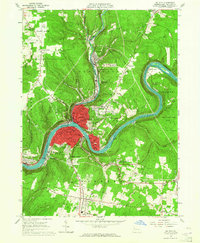 1963 Oil City1964 Print · USGSVenango County's industrial river valley comes to life in the early 1960s, centered on the complex rail yards and urban infrastructure of Oil City. Genealogists and historians can trace family locations near Rouseville, Rynd Farm Cem, and several neighborhood schools like Hasson Heights Sch.3 unique versions available
 - 1963 Map of Franklin, 1964 Print
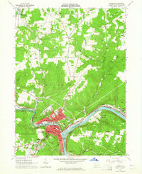 1963 Franklin1964 Print · USGSThe industrial hub of Franklin and its river-and-rail network are captured here in the early sixties. Researchers can trace the extensive oil fields of Cranberry and locate historic landmarks like the White Fathers Novitiate and Chess-Lamberton Airport.2 unique versions available
 - 1963 Map of Utica, 1964 Print
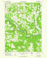 1963 Utica1964 Print · USGSVenango County's river valleys and hills are captured here in the early 1960s, showing the interaction between the winding French Creek and local industry. Genealogists and historians can locate old rural landmarks like Reynolds Ch, the Polk State School campus, and the Erie-Lackawanna rail line.5 unique versions available
 - 1971 Map of Warren
 1971 Warren1971 Print · USGSNorth Central Pennsylvania is captured here in the early seventies, showing a landscape defined by industrial centers and massive state forests. Genealogists and historians can trace the rail lines of the Penn Central and Erie Lackawanna connecting towns like Warren, Kane, and Du Bois.
 - 1983 Map of Oil City, 1984 Print
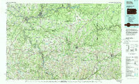 1983 Oil City1984 Print · USGSThe Allegheny and Clarion river valleys are shown in the early eighties as a hub of rail lines and conservation lands. Genealogists can trace family connections in Oil City and Franklin or locate rural sites like the Pennsylvania State Hospital and School and Coal City.
 - 2010 Map of Oil City, 2010 Print
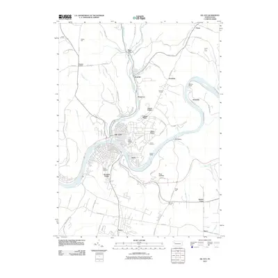 2010 Oil City2010 Print · USGSThe riverfront neighborhoods and upland developments of Venango County are captured here in the early twenty-first century. Genealogists and local historians can trace family plots at Saint Josephs or explore the hills around Rouseville and Siverly.
 - 2010 Map of Franklin, 2010 Print
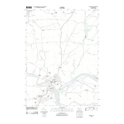 2010 Franklin2010 Print · USGSThe riverfront communities of Venango County are shown here in the early twenty-first century as they cluster along the Allegheny River. Researchers can trace local heritage through several burial grounds like Pioneer Cemetery and settlements including Rocky Grove and Galloway.
 - 2010 Map of Utica, 2010 Print
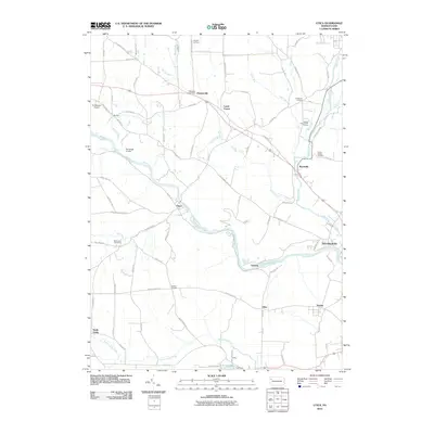 2010 Utica2010 Print · USGSVenango County's rural landscape is centered on the winding French Creek and the borough of Utica during the early 21st century. Genealogists and local historians can locate historic burial grounds like Millcreek Cemetery and family landmarks such as Raughs Corners or Bodine Corners.
 - 2013 Map of Franklin, 2013 Print
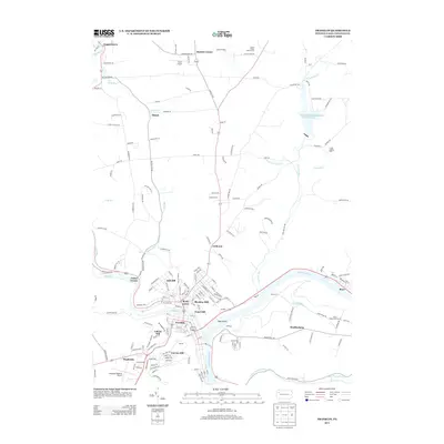 2013 Franklin2013 Print · USGSFranklin and the winding Allegheny River valley appear in the early 21st century as a hub of interconnected riverfront settlements. Modern researchers can trace the growth of Rocky Grove and Reno or locate landmarks like the Venango Regional Airport.
 - 2013 Map of Oil City, 2013 Print
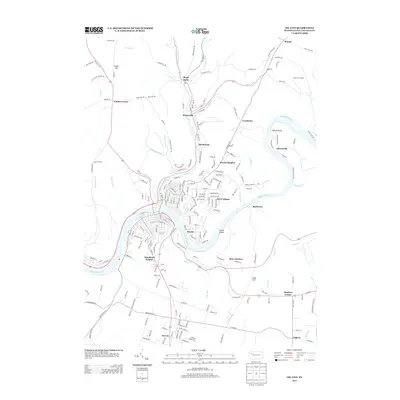 2013 Oil City2013 Print · USGSVenango County's river valleys and hillsides are captured in this modern survey of the region. Local researchers can trace residential growth and land use from Rouseville to Seneca, including landmarks like the Plumer Fire Tower and Alcorn Island.
 - 2013 Map of Utica, 2013 Print
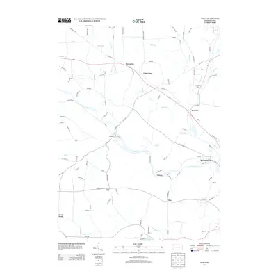 2013 Utica2013 Print · USGSVenango County's rural crossroads and watercourses are documented here in the early twenty-first century. Researchers can trace the development of small communities like Utica, Hannasville, and Wyattville along the banks of French Creek.
 - 2016 Map of Franklin, 2016 Print
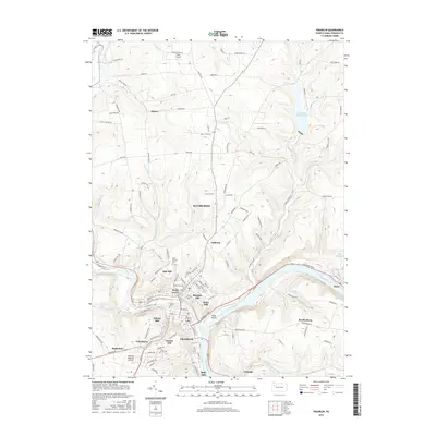 2016 Franklin2016 Print · USGSVenango County's river valleys and plateau settlements appear here in modern detail near the meeting of the Allegheny River and French Creek. Genealogists and historians can trace the hills of Franklin and search for family roots at Pioneer Cem or Saint Patricks Cem.
 - 2016 Map of Oil City, 2016 Print
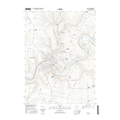 2016 Oil City2016 Print · USGSVenango County during the mid-2010s shows a landscape deeply shaped by the petroleum industry and the winding Allegheny River. Researchers can trace the layout of OIL CITY, find family plots at Grove Hill Cem or Mount Pleasant Cem, and locate the modern Oil City High Sch.
 - 2016 Map of Utica, 2016 Print
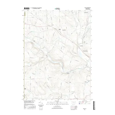 2016 Utica2016 Print · USGSVenango County's rural heartland is captured here in the mid-2010s, centered on the winding French Creek valley. Researchers can trace ancestral connections in Utica, Polk, and Hannasville, or locate family sites near Oakwood Cem and Millcreek Cem.
 - 2019 Map of Utica, 2019 Print
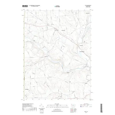 2019 Utica2019 Print · USGSVenango County's creek valleys and hilltop settlements come into focus in this late-decade study of the Sugarcreek area. Genealogists and local historians can trace family locations near Utica, Polk, and cemeteries such as Oakwood Cem and Millcreek Cem.
 - 2019 Map of Franklin, 2019 Print
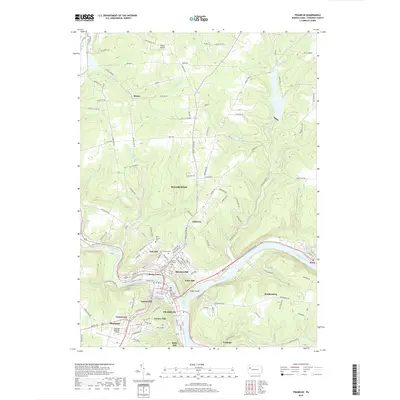 2019 Franklin2019 Print · USGSThe confluence of the Allegheny River and French Creek dominates this Venango County landscape in the late 2010s. Genealogists can locate several historic burial sites like Mount Zion Cem and trace the civic center around the Venango County Courthouse.
 - 2019 Map of Oil City, 2019 Print
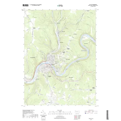 2019 Oil City2019 Print · USGSOil City and the surrounding Pennsylvania hills appear here in the late twenty-teens, showcasing a landscape deeply tied to the heritage of the petroleum industry. Researchers can locate numerous local burial grounds like Mount Pleasant Cem and trace the historic Oil Seeps along Oil Creek near Rouseville.
Showing maps 1-25 of 28
Frequently asked questions
- What are the different types of historical maps available for Sugarcreek?
- What is the oldest map of Sugarcreek?
- Where can I purchase historical maps of Sugarcreek for my home or office?
- Where can I download high-res historical maps of Sugarcreek?
- Are there historical topographic maps available for Sugarcreek?
- Is there historical aerial imagery available for Sugarcreek?
- Where are historical maps of Sugarcreek sourced from?