Old Maps of Deerfield Township, Pennsylvania for Genealogy
Trace your family roots with 34 historic maps of Deerfield Township. These high-res maps reveal old neighborhoods, homesites, landmarks, and streets — helping you uncover where your ancestors lived and how the area evolved over time.
- Explore historic neighborhoods: Identify where your relatives may have lived in the 1800s or 1900s.
- Compare maps over time: Trace the changes in streets, buildings, and landmarks for multi-generational research.
- Perfect for genealogy & ancestry research: Used by family historians and researchers to map out lineage and migration.
These maps are an incredible resource for exploring your personal connection to Deerfield Township's past.
Deerfield Township, PA maps
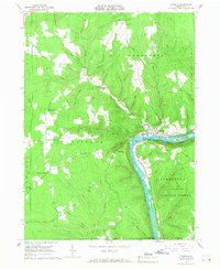
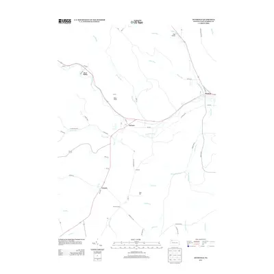
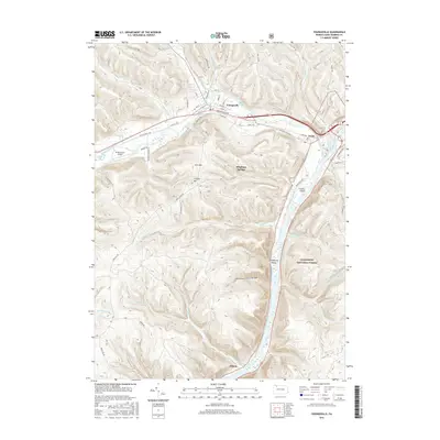
(34)- 1926 Map of Youngsville, 1961 Print
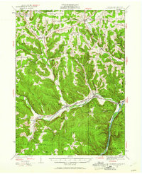 1926 Youngsville1961 Print · USGSWarren County at the dawn of the motorized age shows a landscape of small valley towns and isolated hill farms. Local researchers can trace old schoolhouse locations like White Sch and family-named landmarks such as Pikes Rocks and Cole Hill Fire Tower.
 - 1927 Map of Tidioute
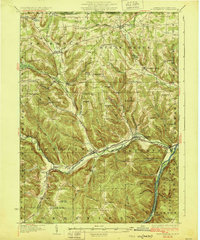
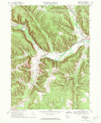
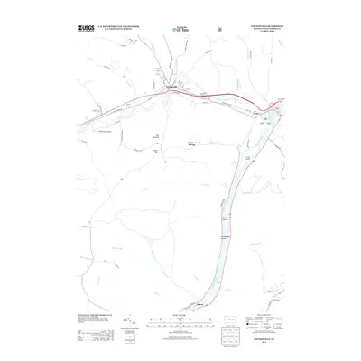
 1927 Tidioute1927 Print · USGSThe Allegheny River valley was a bustling corridor of rail and river industry in the late twenties. Genealogists can trace family footprints across dozens of local schoolhouses like Triumph Sch and rural hubs such as Endeavor or East Hickory.4 unique versions available
 - 1929 Map of Youngsville
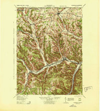
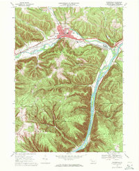
 1929 Youngsville1929 Print · USGSWarren County at the close of the twenties shows a landscape of busy rail junctions and upland farm communities. You can trace early family sites through dozens of named schoolhouses like Yankebush Sch, find the Cole Hill Fire Tower, or follow the Erie RR through Bear Lake.5 unique versions available
 - 1930 Map of Tidioute
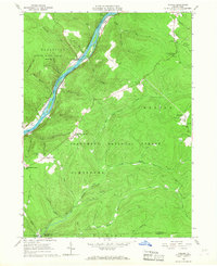
 1930 Tidioute1930 Print · USGSThe Allegheny River valley and the Pennsylvania Railroad corridor are shown in detail during the late 1920s. Genealogists and historians can trace defunct school sites like Triumph Sch and remote settlements such as Fagundus or Trunkeyville.4 unique versions available
 - 1943 Map of Youngsville
 1943 Youngsville1943 Print · USGSThe valleys and ridges of Warren County appear in detail during the early 1940s, highlighting the rail-to-river economy along the Allegheny River. Genealogists can trace family roots through numerous hill schools and rural churches like Davy Hill Ch and Vankirkbush Sch.
 - 1957 Map of Warren, 1964 Print
 1957 Warren1964 Print · USGSThe northern Pennsylvania oil and timber country comes into focus in the mid-fifties, showing the region before modern highway expansions. Trace the industrial rail networks of the Pennsylvania RR and the early Allegheny River Reservoir near Warren and Oil City.4 unique versions available
 - 1958 Map of Warren
 1958 Warren1958 Print · USGSNorthern Pennsylvania’s timber and oil country is captured here during the late fifties, showing the interplay of industrial valleys and vast state forests. Genealogists can trace family connections across the Cornplanter Indian Reservation or through rail hubs like Oil City and Saint Marys.
 - 1959 Map of Warren
 1959 Warren1959 Print · USGSNorthern Pennsylvania's oil and timber country comes alive in this late-fifties study of the forest-clad plateaus. Trace the historic Cornplanter (Indian Reservation), the sprawling Oil Field, and the rail lines of the Pennsylvania RR.2 unique versions available
 - 1966 Map of Cobham, 1967 Print
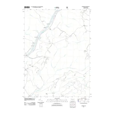
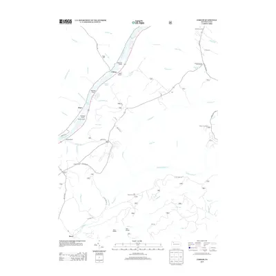
 1966 Cobham1967 Print · USGSThe Allegheny River valley in Warren County was a mix of conservation land and resource extraction in the mid-sixties. Genealogists and historians can locate family-named landmarks like Bimber Corners, the Economite Cem, and the Plank Road Sch.3 unique versions available
 - 1966 Map of Tidioute, 1968 Print
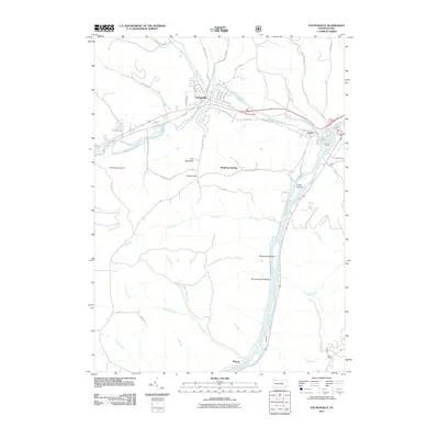
 1966 Tidioute1968 Print · USGSThe riverfront borough of Tidioute and the surrounding timberlands of the Allegheny National Forest are captured here in the mid-1960s. Genealogists and researchers can locate old family burial grounds like Morrison Hill Cem and remote settlements such as Fagundus.4 unique versions available
 - 1968 Map of Pittsfield, 1971 Print
 1968 Pittsfield1971 Print · USGSWestern Warren County in the late sixties shows a landscape of deep valleys and vital rail connections along Brokenstraw Creek. Researchers can trace the heritage of small settlements like Torpedo and Garland or locate family sites near Whitestown Cem.3 unique versions available
 - 1969 Map of Youngsville, 1971 Print
 1969 Youngsville1971 Print · USGSYoungsville and the Allegheny River valley appear here in the late sixties, showing a landscape defined by industry and conservation. Local historians can trace the Penn Central rail lines and locate the County Home and Hospital or the historic St Lukes Ch.4 unique versions available
 - 1971 Map of Warren
 1971 Warren1971 Print · USGSNorth Central Pennsylvania is captured here in the early seventies, showing a landscape defined by industrial centers and massive state forests. Genealogists and historians can trace the rail lines of the Penn Central and Erie Lackawanna connecting towns like Warren, Kane, and Du Bois.
 - 1983 Map of Warren, 1984 Print
 1983 Warren1984 Print · USGSNorthwestern Pennsylvania at the dawn of the 1980s reveals a landscape defined by the petroleum industry and expansive public lands. Trace the legacy of early oil at Drake Well Memorial Park and Pithole City Historical Site, or locate family sites near Warren State Hospital and Kellettville.
 - 2010 Map of Pittsfield, 2010 Print
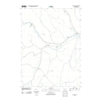 2010 Pittsfield2010 Print · USGSCovers Deerfield Township, including Pittsfield Township, Spring Creek Township, and other nearby areas
 - 2011 Map of Tidioute, 2011 Print
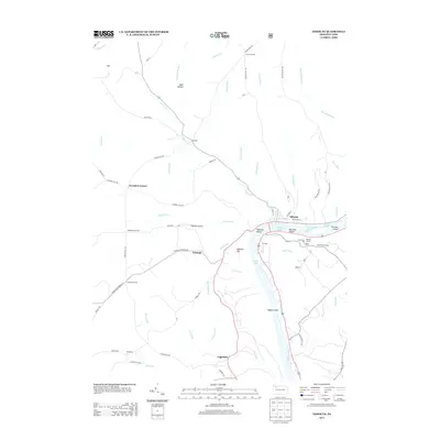
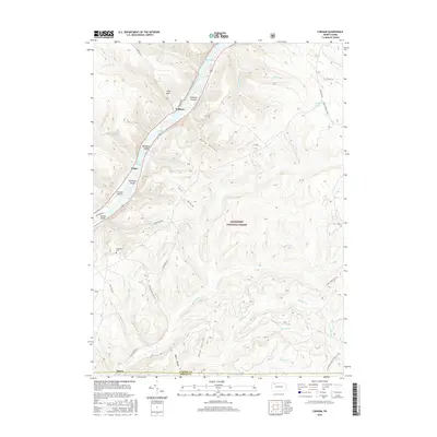
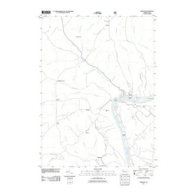 2011 Tidioute2011 Print · USGSCovers Deerfield Township, including Tidioute, Triumph Township, and other nearby areas
 - 2011 Map of Cobham, 2011 Print
 2011 Cobham2011 Print · USGSCovers Deerfield Township, including Watson Township, Hearts Content, and other nearby areas
 - 2011 Map of Youngsville, 2011 Print
 2011 Youngsville2011 Print · USGSCovers Deerfield Township, including Youngsville, Pittsfield Township, and other nearby areas
 - 2013 Map of Cobham, 2013 Print
 2013 Cobham2013 Print · USGSCovers Deerfield Township, including Watson Township, Hearts Content, and other nearby areas
 - 2013 Map of Pittsfield, 2013 Print
 2013 Pittsfield2013 Print · USGSCovers Deerfield Township, including Pittsfield Township, Spring Creek Township, and other nearby areas
 - 2013 Map of Youngsville, 2013 Print
 2013 Youngsville2013 Print · USGSCovers Deerfield Township, including Youngsville, Pittsfield Township, and other nearby areas
 - 2013 Map of Tidioute, 2013 Print
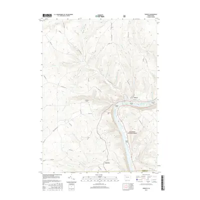
 2013 Tidioute2013 Print · USGSCovers Deerfield Township, including Tidioute, Triumph Township, and other nearby areas
 - 2016 Map of Tidioute, 2016 Print
 2016 Tidioute2016 Print · USGSCovers Deerfield Township, including Tidioute, Triumph Township, and other nearby areas
 - 2016 Map of Youngsville, 2016 Print
 2016 Youngsville2016 Print · USGSCovers Deerfield Township, including Youngsville, Pittsfield Township, and other nearby areas
 - 2016 Map of Cobham, 2016 Print
 2016 Cobham2016 Print · USGSCovers Deerfield Township, including Watson Township, Hearts Content, and other nearby areas
Showing maps 1-25 of 34
Top cities near Deerfield Township
- Warren historical maps
- Corry historical maps
- Columbus historical maps
- Youngsville historical maps
- Pittsfield Township historical maps
- Spring Creek Township historical maps
See more
Top neighborhoods of Deerfield Township
Frequently asked questions
- What are the different types of historical maps available for Deerfield Township?
- What is the oldest map of Deerfield Township?
- Where can I purchase historical maps of Deerfield Township for my home or office?
- Where can I download high-res historical maps of Deerfield Township?
- Are there historical topographic maps available for Deerfield Township?
- Is there historical aerial imagery available for Deerfield Township?
- Where are historical maps of Deerfield Township sourced from?