Old Maps of North Bethlehem Township, Pennsylvania for Academic Research
Study the evolution of North Bethlehem Township with 28 high-resolution historic maps. Whether you're teaching, researching, or modeling changes in land use, these maps provide essential visual documentation of urban, environmental, and geographic change.
- Analyze long-term change: Track patterns in development, transportation, and natural features.
- Ideal for environmental or urban studies: Support academic projects with primary historical map data.
- Use in the classroom or lab: Educators and researchers rely on these maps to bring historical context to life.
These maps are a powerful tool for teaching, research, and visualizing how North Bethlehem Township has changed over the decades.
North Bethlehem Township, PA maps
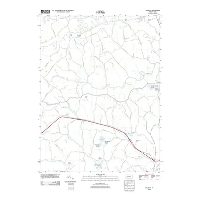
(28)- 1901 Map of Amity, 1956 Print
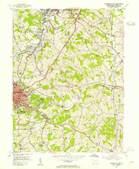
 1901 Amity1956 Print · USGSWashington County at the turn of the century shows a landscape transitioning between historic pikes and the burgeoning rail era. Researchers can trace ancestral property near Tenmile Creek or follow the route of the National Pike through Laboratory and Zediker.
 - 1904 Map of Amity
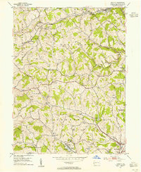
 1904 Amity1904 Print · USGSWashington County at the start of the twentieth century was a bustling nexus of rail and road, centered on the growing city of WASHINGTON. Researchers can trace early property lines and rail stops like Meadowlands, Laboratory, and the Pittsburg and Washington Turnpike.6 unique versions available
 - 1951 Map of Canton
 1951 Canton1951 Print · USGSThe industrial heartland of Ohio and Pennsylvania reached its mid-century peak during this era of heavy rail and river transit. Genealogists and historians can trace the development of steel towns like Aliquippa and Weirton alongside the Ohio River and major lines of the Pennsylvania RR.
 - 1953 Map of Canton
 1953 Canton1953 Print · USGSThe industrial heartland of Ohio and Pennsylvania is captured at its mid-century peak in this detailed regional survey. Genealogists and historians can trace the vast rail networks of the Pennsylvania RR and find local landmarks like Nimisila Reservoir and Tappan Reservoir.
 - 1953 Map of Washington East, 1955 Print
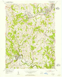
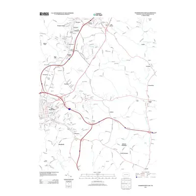
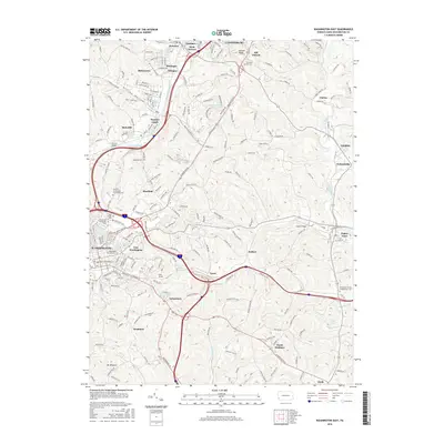
 1953 Washington East1955 Print · USGSThe coal and rail landscape of Washington County comes alive in the mid-fifties, showing the region as its industrial and suburban identities merged. Genealogists can locate family names at Hill Church or Immaculate Conception Cem, while historians can trace the operations of the Lindley Mine and the Pennsylvania RR.5 unique versions available
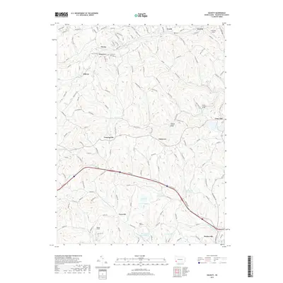
 - 1953 Map of Hackett, 1955 Print
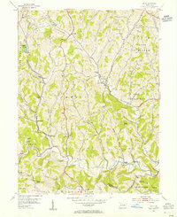
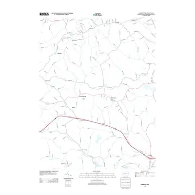
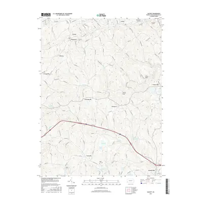
 1953 Hackett1955 Print · USGSWashington County coal and gas country is captured here in the mid-fifties as the local economy revolved around mining and the rail. Genealogists and historians can trace the foundations of Bentleyville and find rural landmarks like Munntown Cem and Edwards Chapel.6 unique versions available
 - 1954 Map of Ellsworth, 1955 Print
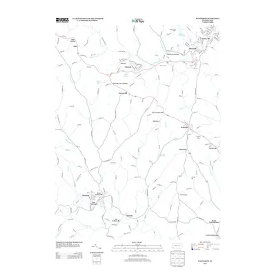
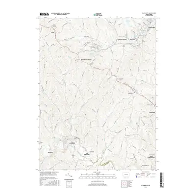
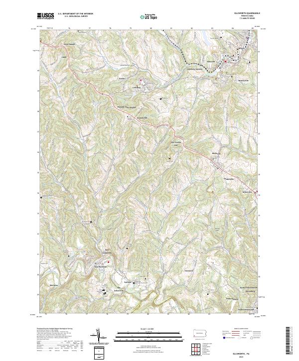
 1954 Ellsworth1955 Print · USGSWashington County at the height of its industrial era reveals a landscape of coal patches, rail spurs, and historic crossroads. Genealogists and historians can trace family roots through the numerous rural schools and cemeteries, from Old Zollarsville to the St Clements Cem.5 unique versions available
 - 1954 Map of Amity, 1955 Print
 1954 Amity1955 Print · USGSWashington and Greene Counties appear in the mid-fifties as a landscape of rural schoolhouses and coal mines. Genealogists and local historians can locate family-named landmarks like Baker Station and Condit Crossing or trace early industry at Harts Mill and the Lone Pine Mine.5 unique versions available
 - 1957 Map of Canton, 1971 Print
 1957 Canton1971 Print · USGSThe industrial heartland of eastern Ohio and western Pennsylvania comes alive in this mid-century survey of the Ohio River Valley. Trace the heritage of rail and river commerce through Pittsburgh, the massive steel towns along the Ohio River, and major junctions on the Pennsylvania RR.3 unique versions available
 - 1962 Map of Canton
 1962 Canton1962 Print · USGSThe industrial heartland of Eastern Ohio and Western Pennsylvania thrives in the early sixties as steel mills and rail lines dominate the river valleys. Genealogists and historians can trace local landmarks like McKinley National Memorial, Malone College, and industrial sites such as Republic Steel Corp.2 unique versions available
 - 1986 Map of Pittsburgh West
 1986 Pittsburgh West1986 Print · USGSThe Tri-State region's coal and rail corridors are captured in the mid-eighties as industry and aviation expanded. Trace the legacy of extraction at Nelms Mine No 1, locate Short Creek PO, or follow the Chessie System tracks along the Ohio River.3 unique versions available
 - 1993 Map of Hackett, 1999 Print
 1993 Hackett1999 Print · USGSThe hill country of Washington County appears in the late twentieth century as a landscape of deep-rooted rural townships and legacy coal mining. Researchers can trace family sites at Munnstown Cem, locate the Thomas Tunnel, or explore settlements like Venetia and Bentleyville.
 - 2010 Map of Ellsworth, 2010 Print
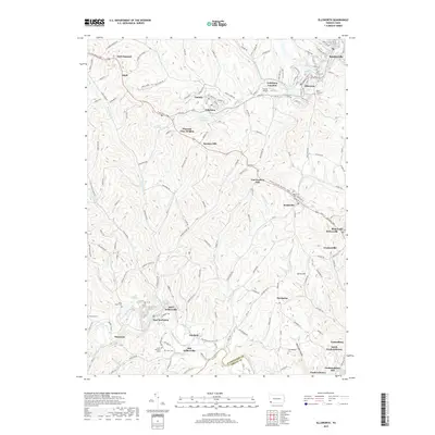
 2010 Ellsworth2010 Print · USGSCovers North Bethlehem Township, including Bentleyville, Ellsworth, and other nearby areas
 - 2010 Map of Washington East, 2010 Print
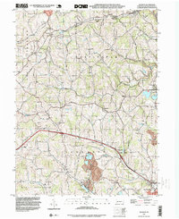
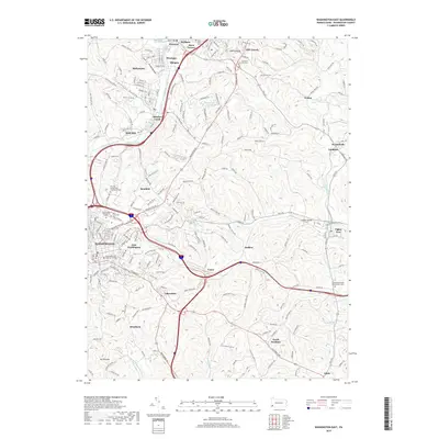
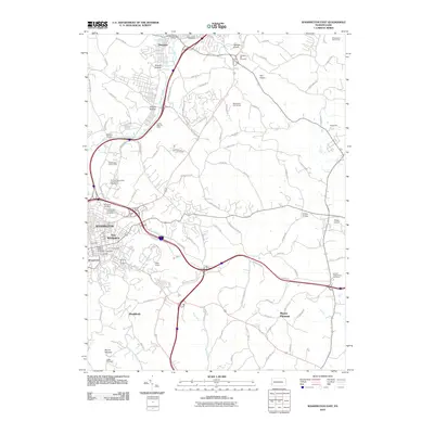 2010 Washington East2010 Print · USGSCovers North Bethlehem Township, including Washington, South Strabane Township, and other nearby areas
 - 2010 Map of Hackett, 2010 Print
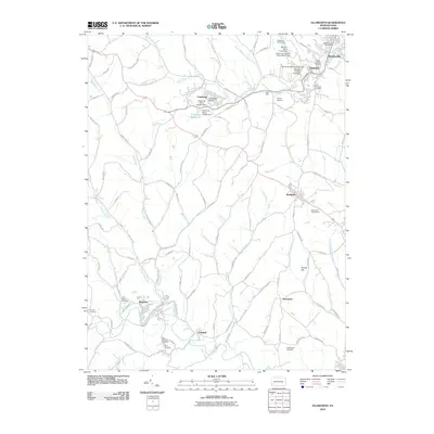
 2010 Hackett2010 Print · USGSCovers North Bethlehem Township, including Bentleyville, North Strabane Township, and other nearby areas
 - 2013 Map of Hackett, 2013 Print
 2013 Hackett2013 Print · USGSCovers North Bethlehem Township, including Bentleyville, North Strabane Township, and other nearby areas
 - 2013 Map of Washington East, 2013 Print
 2013 Washington East2013 Print · USGSCovers North Bethlehem Township, including Washington, South Strabane Township, and other nearby areas
 - 2013 Map of Ellsworth, 2013 Print
 2013 Ellsworth2013 Print · USGSCovers North Bethlehem Township, including Bentleyville, Ellsworth, and other nearby areas
 - 2016 Map of Hackett, 2016 Print
 2016 Hackett2016 Print · USGSCovers North Bethlehem Township, including Bentleyville, North Strabane Township, and other nearby areas
 - 2016 Map of Ellsworth, 2016 Print
 2016 Ellsworth2016 Print · USGSCovers North Bethlehem Township, including Bentleyville, Ellsworth, and other nearby areas
 - 2016 Map of Washington East, 2016 Print
 2016 Washington East2016 Print · USGSCovers North Bethlehem Township, including Washington, South Strabane Township, and other nearby areas
 - 2019 Map of Ellsworth, 2019 Print
 2019 Ellsworth2019 Print · USGSCovers North Bethlehem Township, including Bentleyville, Ellsworth, and other nearby areas
 - 2019 Map of Washington East, 2019 Print
 2019 Washington East2019 Print · USGSCovers North Bethlehem Township, including Washington, South Strabane Township, and other nearby areas
 - 2019 Map of Hackett, 2019 Print
 2019 Hackett2019 Print · USGSCovers North Bethlehem Township, including Bentleyville, North Strabane Township, and other nearby areas
 - 2023 Map of Ellsworth, 2023 Print
 2023 Ellsworth2023 Print · USGSWashington County communities like Ellsworth and Marianna are documented here during a period of modern persistence. Genealogists can trace deep local roots through numerous family burial sites such as Crooks Cem and historic locations like Old Zollarsville.
Showing maps 1-25 of 28
Top cities near North Bethlehem Township
- Bethel Park historical maps
- McKeesport historical maps
- Upper St. Clair historical maps
- Washington historical maps
- Cecil Township historical maps
- Canonsburg historical maps
See more
Top neighborhoods of North Bethlehem Township
- Little Summit historical maps
- Odell historical maps
- Ontario historical maps
- Pleasant View Heights historical maps
- Glyde historical maps
- Scenery Hill historical maps
Frequently asked questions
- What are the different types of historical maps available for North Bethlehem Township?
- What is the oldest map of North Bethlehem Township?
- Where can I purchase historical maps of North Bethlehem Township for my home or office?
- Where can I download high-res historical maps of North Bethlehem Township?
- Are there historical topographic maps available for North Bethlehem Township?
- Is there historical aerial imagery available for North Bethlehem Township?
- Where are historical maps of North Bethlehem Township sourced from?