Old Maps of Manchester Township, Pennsylvania for Metal Detecting
Plan your next treasure hunt with 35 historic maps of Manchester Township. Find old homesites, ghost towns, trails, and gathering spots that may be lost to time — perfect for identifying promising metal detecting locations.
- Locate forgotten sites: Uncover places like long-lost settlements, abandoned rail lines, or gathering spots.
- Plan better hunts: Use map overlays combined with LiDAR or satellite views to narrow in on historically rich areas.
- Made for detectorists: Thousands of hobbyists use these maps to discover relics, coins, and hidden history.
Use these historic maps to boost your research and find new opportunities beneath the surface of Manchester Township.
Manchester Township, PA maps
(35)- 1920 Map of Long Eddy
 1920 Long Eddy1920 Print · USGSThe Delaware River borderlands come alive in the 1920s as a hub of rail activity and riverfront commerce. Genealogists can locate family names near landmarks like Peckville P O, Equinunk, and rural schoolhouses like the South Branch School.3 unique versions available
 - 1921 Map of Long Eddy
 1921 Long Eddy1921 Print · USGSThe Delaware River borderlands are captured here in the early twenties, showing a network of small upland communities and river crossings. Genealogists can trace family footprints through numerous rural schoolhouses and landmarks like Read Cemetery, Abrahamsville, and the Ferry.
 - 1923 Map of Long Eddy
 1923 Long Eddy1923 Print · USGSThe Delaware River valley thrived in the 1920s as a rail and timber hub between New York and Pennsylvania. Genealogists can trace family roots through the many rural schoolhouses and riverside settlements like Lordville, Equinunk, and Fishs Eddy.5 unique versions available
 - 1926 Map of Starrucca
 1926 Starrucca1926 Print · USGSThe river-and-rail corridor at the New York and Pennsylvania border comes alive in the mid-1920s, showing the vital confluence at Hancock. Genealogists and rail historians can trace the paths of the Erie R R, identifying old transit points like Stockport Sta and Sands Switch.
 - 1930 Map of Starrucca
 1930 Starrucca1930 Print · USGSUpper Wayne County was a major transportation and recreation hub in the 1930s, defined by the Delaware River rail corridors and numerous upland lakes. Genealogists can trace family roots through localized sites like the South Preston Grange Hall and schools like Fairmont Sch.3 unique versions available
 - 1933 Map of Starrucca
 1933 Starrucca1933 Print · USGSUpper Wayne County was a landscape of rail-connected dairy farms and summer camps in the years between the wars. Genealogists can locate family-named rural schools and depots from Stephens Switch and Stockport Sta to Hines Corners.3 unique versions available
 - 1943 Map of Honesdale
 1943 Honesdale1943 Print · USGSThe northern Poconos and the Upper Delaware River valley appear here during the early war years, showing a network of mountain hamlets and riverfront rail towns. Genealogists can trace family roots through numerous remote institutions like Kingsbury Hill Church, Peakville P O, and the Hiawatha School.
 - 1944 Map of Long Eddy
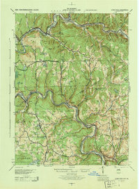 1944 Long Eddy1944 Print · USGSThe Delaware River valley straddles the state line during the mid-forties, showing a landscape of isolated hill farms and riverside rail towns. Researchers can locate numerous vanished country schools such as Priceville Sch and Cooley Sch or trace the path of the Erie RR.
 - 1950 Map of Scranton, 1952 Print
 1950 Scranton1952 Print · USGSMid-century Northeast Pennsylvania and the Hudson Valley come alive in this survey of the tri-state region. Genealogists and historians can trace the dense rail networks of the Erie RR and DL&W RR between industrial hubs like Scranton and Wilkes-Barre.
 - 1953 Map of Scranton
 1953 Scranton1953 Print · USGSNortheastern Pennsylvania and the Catskills are shown in great detail during the early fifties, a time when rail lines and river valleys dictated the region's growth. Genealogists and historians can trace the industrial hearts of Scranton and Wilkes-Barre or locate remote landmarks like High Point and Lake Wallenpaupack.
 - 1959 Map of Scranton
 1959 Scranton1959 Print · USGSThe northern coalfields and the Hudson Valley meet in this mid-century survey of the Pennsylvania and New York borderlands. Genealogists and historians can trace the intricate rail networks of the Erie Railroad and the vast waters of Lake Wallenpaupack.2 unique versions available
 - 1962 Map of Scranton, 1977 Print
 1962 Scranton1977 Print · USGSThe industrial heart of eastern Pennsylvania and the New York Catskills are captured here in the early sixties. Genealogists and historians can trace the dense valley settlements from Scranton to Wilkes-Barre and the rail lines of the Erie Lackawanna Railroad.2 unique versions available
 - 1965 Map of Scranton
 1965 Scranton1965 Print · USGSThe tri-state highlands of Pennsylvania, New York, and New Jersey come alive in the mid-sixties as industry and recreation converge. Trace the intricate rail lines of the Erie Lackawanna RR or locate landmarks like the U S Military Academy.2 unique versions available
 - 1965 Map of Callicoon, 1967 Print
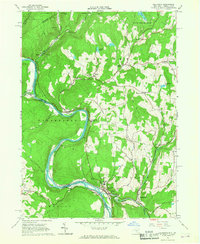 1965 Callicoon1967 Print · USGSThe Upper Delaware River valley in the mid-sixties is captured here, showing the river winding through the borderlands of Sullivan and Wayne counties. Genealogists and local historians can trace the Erie Lackawanna rail line and sites like St Josephs Seminary and Kellams Bridge.3 unique versions available
 - 1965 Map of Long Eddy, 1967 Print
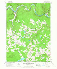 1965 Long Eddy1967 Print · USGSThe Delaware River valley mid-century served as a busy border between New York and Pennsylvania, defined by the winding Erie-Lackawanna rail line. Researchers can trace riverside life in Equinunk or explore inland crossroads and recreation sites like Priceville and Union Lake.3 unique versions available
 - 1968 Map of Lake Como, 1970 Print
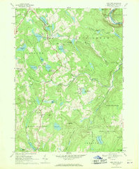 1968 Lake Como1970 Print · USGSWayne County and the New York borderlands appear here in the late sixties, showing a landscape of upland lakes and small dairy-era crossroads. Researchers can trace the Erie Lackawanna line, find St Julianas Ch, and locate family names near Dillontown or Rudes Corner.2 unique versions available
 - 1986 Map of Honesdale
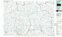 1986 Honesdale1986 Print · USGSNortheastern Pennsylvania and the New York borderlands appear here in the mid-1980s, during a period of transition for the region's industrial river valleys. Genealogists can trace family connections across the Moosic Mountains between the coal towns of Carbondale and the canal-era heritage of Honesdale.2 unique versions available
 - 1992 Map of Callicoon, 1994 Print
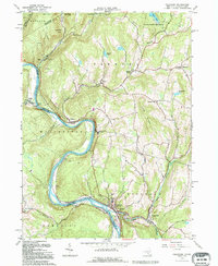 1992 Callicoon1994 Print · USGSThe Upper Delaware River valley of New York and Pennsylvania is captured here in the early nineties, showing a landscape defined by river bends and high ridges. Genealogists can trace family roots through Holy Cross Cem, the streets of Hortonville, and the grounds of St Josephs Seminary.
 - 1992 Map of Long Eddy, 1995 Print
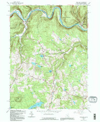 1992 Long Eddy1995 Print · USGSAlong the Delaware River border in the early nineties, these valley and upland communities reflect a landscape defined by timber, stone, and recreation. Researchers can trace the layout of Equinunk, Long Eddy, and Pine Mill, or locate Union Church and Duck Harbor Pond.
 - 1992 Map of Lake Como, 1995 Print
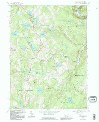 1992 Lake Como1995 Print · USGSWayne County's lake country is captured here in the early 1990s, showing a landscape of seasonal camps and rural crossroads. Researchers can locate St Julianas Cem at Church Hill or trace the Old Railroad Grade near Dillontown.
 - 2010 Map of Lake Como, 2010 Print
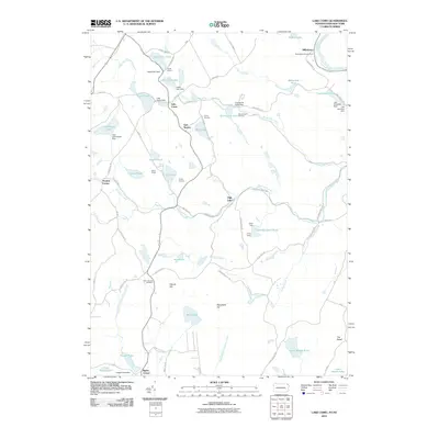 2010 Lake Como2010 Print · USGSUpper Wayne County and the Delaware River border appear here in the early twenty-first century, characterized by its numerous recreation camps and glacial lakes. Researchers can locate Saint Julianas Cemetery and trace old family road names near Lake Como and Dillontown.
 - 2010 Map of Long Eddy, 2010 Print
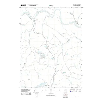 2010 Long Eddy2010 Print · USGSThe Delaware River valley and Wayne County highlands are captured here in the early twenty-first century. Genealogists and local historians can trace family-named roads and water features, from the riverside at Equinunk to the waters of Duck Harbor Pond and Saw Mill Dam.
 - 2010 Map of Callicoon, 2010 Print
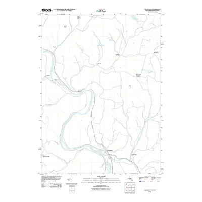 2010 Callicoon2010 Print · USGSThe Upper Delaware Valley borderlands are documented here in the early twenty-first century, showing the rural communities along the river's edge. Genealogists can trace family landmarks and local sites like Holy Cross Cemetery, Kellams Bridge, and Abrahamsville.
 - 2013 Map of Long Eddy, 2013 Print
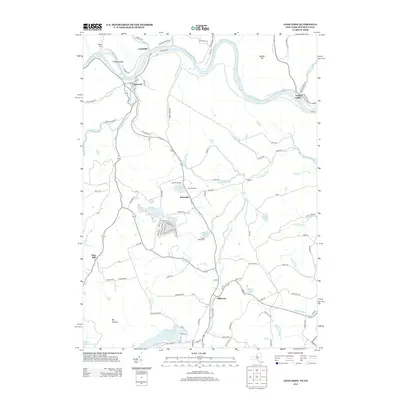 2013 Long Eddy2013 Print · USGSThe Upper Delaware River corridor appears here in the early twenty-first century, showing the enduring hamlets along the New York-Pennsylvania line. Genealogists can trace family footprints near Equinunk, Priceville, and the remote cemetery and roads around Hilltown.
 - 2013 Map of Callicoon, 2013 Print
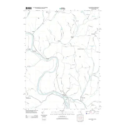 2013 Callicoon2013 Print · USGSThe Upper Delaware River valley is documented here in the early twenty-first century, showing the enduring rural layout of river towns and highland settlements. Researchers can trace family sites and local landmarks from Obernburg to Abrahamsville, including Basket Cem and Kellams Bridge.
Showing maps 1-25 of 35
Top cities near Manchester Township
- Lackawaxen Township historical maps
- Honesdale historical maps
- Damascus Township historical maps
- Rockland historical maps
- Callicoon historical maps
- Hancock historical maps
See more
Top neighborhoods of Manchester Township
Frequently asked questions
- What are the different types of historical maps available for Manchester Township?
- What is the oldest map of Manchester Township?
- Where can I purchase historical maps of Manchester Township for my home or office?
- Where can I download high-res historical maps of Manchester Township?
- Are there historical topographic maps available for Manchester Township?
- Is there historical aerial imagery available for Manchester Township?
- Where are historical maps of Manchester Township sourced from?