Old Maps of Ligonier, Westmoreland County for Academic Research
Study the evolution of Ligonier with 16 high-resolution historic maps. Whether you're teaching, researching, or modeling changes in land use, these maps provide essential visual documentation of urban, environmental, and geographic change.
- Analyze long-term change: Track patterns in development, transportation, and natural features.
- Ideal for environmental or urban studies: Support academic projects with primary historical map data.
- Use in the classroom or lab: Educators and researchers rely on these maps to bring historical context to life.
These maps are a powerful tool for teaching, research, and visualizing how Ligonier has changed over the decades.
Ligonier, Westmoreland County maps
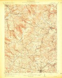
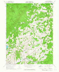
(16)- 1913 Map of Somerset, 1961 Print
 1913 Somerset1961 Print · USGSCovers Ligonier, including Somerset, Boswell, and other nearby areas
 - 1915 Map of Somerset
 1915 Somerset1915 Print · USGSCovers Ligonier, including Somerset, Boswell, and other nearby areas6 unique versions available
 - 1920 Map of New Florence, 1958 Print
 1920 New Florence1958 Print · USGSCovers Ligonier, including Brush Valley Township, Black Lick Township, and other nearby areas
 - 1921 Map of New Florence
 1921 New Florence1921 Print · USGSCovers Ligonier, including Brush Valley Township, Black Lick Township, and other nearby areas
 - 1922 Map of New Florence
 1922 New Florence1922 Print · USGSCovers Ligonier, including Brush Valley Township, Black Lick Township, and other nearby areas5 unique versions available
 - 1944 Map of Somerset
 1944 Somerset1944 Print · USGSCovers Ligonier, including Somerset, Boswell, and other nearby areas
 - 1944 Map of New Florence
 1944 New Florence1944 Print · USGSCovers Ligonier, including Brush Valley Township, Black Lick Township, and other nearby areas
 - 1953 Map of Pittsburgh
 1953 Pittsburgh1953 Print · USGSCovers Ligonier, including Pittsburgh, Penn Hills, and other nearby areas
 - 1954 Map of Pittsburgh
 1954 Pittsburgh1954 Print · USGSCovers Ligonier, including Pittsburgh, Penn Hills, and other nearby areas2 unique versions available
 - 1958 Map of Pittsburgh
 1958 Pittsburgh1958 Print · USGSCovers Ligonier, including Pittsburgh, Penn Hills, and other nearby areas5 unique versions available
 - 1959 Map of Pittsburgh
 1959 Pittsburgh1959 Print · USGSCovers Ligonier, including Pittsburgh, Penn Hills, and other nearby areas
 - 1964 Map of Pittsburgh
 1964 Pittsburgh1964 Print · USGSCovers Ligonier, including Pittsburgh, Penn Hills, and other nearby areas
 - 1964 Map of Wilpen, 1966 Print
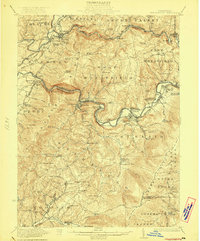
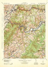
 1964 Wilpen1966 Print · USGSCovers Ligonier, including Fairfield Township, Ligonier Township, and other nearby areas4 unique versions available
 - 1967 Map of Ligonier, 1971 Print
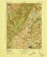
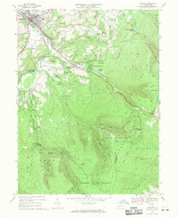 1967 Ligonier1971 Print · USGSCovers Ligonier, including Jenner Township, Laurel Mountain Park, and other nearby areas4 unique versions available
 - 1977 Map of Ligonier, 1979 Print
 1977 Ligonier1979 Print · USGSCovers Ligonier, including Jenner Township, Laurel Mountain Park, and other nearby areas
 - 1986 Map of Pittsburgh East
 1986 Pittsburgh East1986 Print · USGSCovers Ligonier, including Pittsburgh, Penn Hills, and other nearby areas3 unique versions available
End of results
Showing maps 1-16 of 16
Frequently asked questions
- What are the different types of historical maps available for Ligonier?
- What is the oldest map of Ligonier?
- Where can I purchase historical maps of Ligonier for my home or office?
- Where can I download high-res historical maps of Ligonier?
- Are there historical topographic maps available for Ligonier?
- Is there historical aerial imagery available for Ligonier?
- Where are historical maps of Ligonier sourced from?