Old Maps of Hallam, Hellam Township for Genealogy
Trace your family roots with 31 historic maps of Hallam. These high-res maps reveal old neighborhoods, homesites, landmarks, and streets — helping you uncover where your ancestors lived and how the area evolved over time.
- Explore historic neighborhoods: Identify where your relatives may have lived in the 1800s or 1900s.
- Compare maps over time: Trace the changes in streets, buildings, and landmarks for multi-generational research.
- Perfect for genealogy & ancestry research: Used by family historians and researchers to map out lineage and migration.
These maps are an incredible resource for exploring your personal connection to Hallam's past.
Hallam, Hellam Township maps
(31)- 1908 Map of Middletown
 1908 Middletown1908 Print · USGSThe Susquehanna River corridor thrives in the early 1900s as a hub for the Pennsylvania Railroad and the burgeoning industry of Lancaster and Dauphin counties. Researchers can trace the path of the Pennsylvania Canal (Abandoned) and locate family-named landmarks like Shocks Mills or Hoffer Church.7 unique versions available
 - 1908 Map of York, 1963 Print
 1908 York1963 Print · USGSYork County's diverse industrial and agricultural landscape is captured here in the early twentieth century. Researchers can trace ancestral property near dozens of local landmarks like Margaretta Furnace, Smalls School, and the Camp Meeting Grounds.
 - 1910 Map of York
 1910 York1910 Print · USGSYork County at the turn of the century reveals a landscape shaped by rail expansion and deep-rooted rural industry. Genealogists and historians can trace family-named sites like Sechrist Mill, Klein School, and Hopewell Church along the winding Maryland & Pennsylvania RR.6 unique versions available
 - 1943 Map of Middletown
 1943 Middletown1943 Print · USGSAs World War II mobilization reached its peak, this survey captures the Susquehanna River corridor as a vital industrial and rail artery. Genealogists and researchers can trace family landmarks like Donegal Springs Church, Codorus Furnace, and the early layout of Three Mile Island.
 - 1948 Map of Baltimore
 1948 Baltimore1948 Print · USGSMaryland and Pennsylvania crossroads are captured in the late 1940s, showing a landscape defined by historic rail lines and major military installations. Genealogists can trace family connections in Gettysburg, Westminster, and near the U.S. Naval Academy in Annapolis.2 unique versions available
 - 1950 Map of Harrisburg, 1952 Print
 1950 Harrisburg1952 Print · USGSMid-century Central Pennsylvania comes alive through its dense rail networks and river valley settlements during the post-war industrial era. Genealogists and historians can trace family roots through hubs like Harrisburg, locate Carlisle Barracks, or follow the Pennsylvania RR through the Lebanon Valley.
 - 1953 Map of Red Lion, 1956 Print
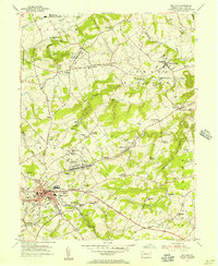 1953 Red Lion1956 Print · USGSYork County's industrial and rural landscape is captured here in the early fifties as the region's rail network supported growing boroughs and historic furnaces. Researchers can trace family sites at Snavelys Sch, Leiphart Mill, or the historic Canadochly Ch.5 unique versions available
 - 1954 Map of Baltimore
 1954 Baltimore1954 Print · USGSThe Mid-Atlantic region in the early fifties shows a landscape of growing suburban centers and heavy rail corridors. Trace mid-century transit networks and military landmarks from the Aberdeen Proving Ground to the Gettysburg National Military Park.
 - 1956 Map of Baltimore
 1956 Baltimore1956 Print · USGSMid-century Maryland and Pennsylvania are captured here during a period of massive suburban and military growth across the Chesapeake region. Genealogists and historians can trace the rail corridors of the Baltimore & Ohio RR and locate landmarks like Fort McHenry or the Aberdeen Proving Ground.
 - 1956 Map of Middletown, 1959 Print
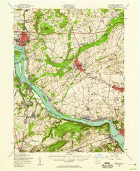 1956 Middletown1959 Print · USGSThe Susquehanna River corridor bustles with Cold War-era industry and riverside life in the mid-1950s. Genealogists and local researchers can trace family landmarks like Shenks Cem, identify regional education hubs such as Elizabethville College, or locate the sprawling Olmsted AFB.2 unique versions available
 - 1957 Map of Harrisburg
 1957 Harrisburg1957 Print · USGSMid-century Central Pennsylvania comes into focus as a bustling network of rail, river, and mountain ridges. Genealogists and historians can trace the development of the State Capitol and surrounding hubs like Middletown, Columbia, and Pottsville.7 unique versions available
 - 1957 Map of Baltimore, 1964 Print
 1957 Baltimore1964 Print · USGSMaryland and Southern Pennsylvania are shown during the mid-century expansion of the Baltimore-Washington corridor. Researchers can trace the extensive rail lines of the Baltimore & Ohio RR and locate sites like Fort Detrick and Gettysburg National Military Park.5 unique versions available
 - 1961 Map of Harrisburg
 1961 Harrisburg1961 Print · USGSCentral Pennsylvania is shown at a mid-century peak of industrial and military activity, from the Susquehanna water gaps to the fertile Dutch Country. Genealogists and historians can trace the rail corridors of the Pennsylvania RR and find landmarks like Carlisle Barracks or the Anthracite Coal Fields.2 unique versions available
 - 1961 Map of Baltimore
 1961 Baltimore1961 Print · USGSMaryland and Pennsylvania are captured at a mid-century peak of industrial and military expansion. Genealogists and historians can trace rail corridors like the Western Maryland Ry or locate regional landmarks such as Camp Detrick and Kent Island.
 - 1964 Map of Harrisburg
 1964 Harrisburg1964 Print · USGSCentral Pennsylvania in the mid-fifties reveals a landscape shaped by ridge-and-valley geology and critical Cold War infrastructure. Researchers can trace the massive Indiantown Gap Military Reservation or the rail corridors of the Pennsylvania RR and Reading RR.
 - 1964 Map of Columbia West, 1965 Print
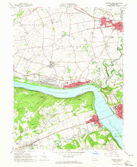 1964 Columbia West1965 Print · USGSThe Susquehanna River corridor thrives in the mid-sixties, showing the industrial and military footprint of the Marietta Air Force Station. Researchers can trace old family names and sites at Donegal Ch, Eberly Cem, and Lauxmont Farms.5 unique versions available
 - 1983 Map of York, 1984 Print
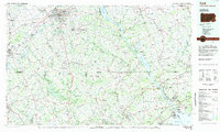 1983 York1984 Print · USGSSouth Central Pennsylvania and Northern Maryland meet along the Susquehanna during the early eighties. Genealogists and local historians can trace the transit networks of Conrail and Amtrak through towns like Red Lion and Seven Valleys.2 unique versions available
 - 1984 Map of Harrisburg, 1985 Print
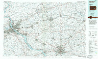 1984 Harrisburg1985 Print · USGSCentral Pennsylvania in the mid-eighties shows a landscape defined by the winding Susquehanna River and the industrial growth of its river towns. Researchers can trace the rail corridors of Amtrak and Conrail or explore the bounds of Fort Indiantown Gap Military Reservation.2 unique versions available
 - 1989 Map of Baltimore
 1989 Baltimore1989 Print · USGSThe Mid-Atlantic corridor in the late eighties is captured here, from the Baltimore harbor to the Blue Ridge foothills. Researchers can trace the sprawling footprints of Aberdeen Proving Ground, the historic grounds of Gettysburg National Military Park, and the winding Susquehanna River.
 - 1997 Map of Columbia West, 1999 Print
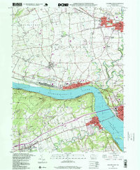 1997 Columbia West1999 Print · USGSThe Susquehanna River corridor thrives in the late nineties as a hub of rail activity and riverfront industry between Lancaster and York. Genealogists can locate family landmarks like Eberly Cem, Donegal Springs, and schools such as Kraybill Sch.
 - 1999 Map of Red Lion, 2002 Print
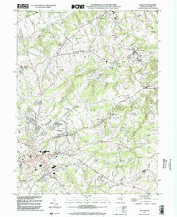 1999 Red Lion2002 Print · USGSYork County at the close of the twentieth century reveals a landscape shaped by early industry and community nodes like Red Lion and Hallam. Genealogists and historians can trace family roots through numerous sites including Margaretta Furnace, Mazie Gable Sch Cem, and Leiphart Mill.
 - 2010 Map of Columbia West, 2010 Print
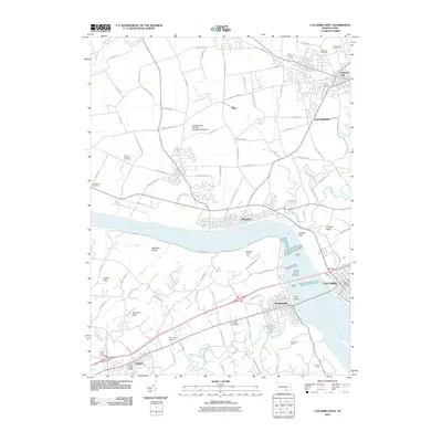 2010 Columbia West2010 Print · USGSThe riverfront communities of Lancaster and York Counties are seen here in the early twenty-first century as they border the Susquehanna River. Researchers can locate several historical burial sites like Eberly Cemetery and Brenneman Cemetery, or trace the landmarks of Chickies Rock and Hellam Hills.
 - 2010 Map of Red Lion, 2010 Print
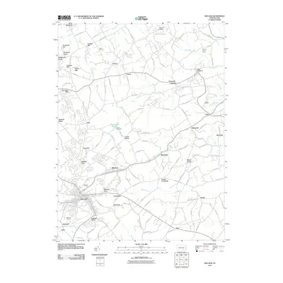 2010 Red Lion2010 Print · USGSRed Lion and the surrounding York County countryside are shown here in the years following the turn of the millennium. Researchers can trace local lineages at Olewiler Cemetery or explore established locales like Margaretta Furnace and Grimms Crossroads.
 - 2013 Map of Red Lion, 2013 Print
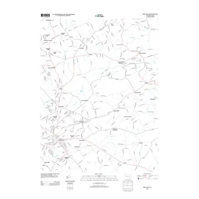 2013 Red Lion2013 Print · USGSYork County's rolling landscape near the Susquehanna is shown in detail during the early 21st century, centered on the growth of Red Lion and Windsor. Genealogists and historians can trace local landmarks like Margaretta Furnace, Leiphart Mill, and the many family-named crossroads like Snyder Corner.
 - 2013 Map of Columbia West, 2013 Print
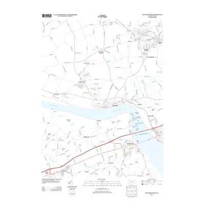 2013 Columbia West2013 Print · USGSThe Susquehanna River corridor thrives in this 2013 record of Lancaster and York counties, where riverfront boroughs meet the rolling hills of Maytown. Genealogists and local historians can trace family-named lands like Lehman Farm and Lauxmont Farms alongside landmarks like Chickies Rock.
Showing maps 1-25 of 31
Top cities near Hallam
- York historical maps
- Elizabethtown historical maps
- Columbia historical maps
- Middletown historical maps
- Mount Joy historical maps
- Shrewsbury historical maps
See more
Top neighborhoods of Hallam
Frequently asked questions
- What are the different types of historical maps available for Hallam?
- What is the oldest map of Hallam?
- Where can I purchase historical maps of Hallam for my home or office?
- Where can I download high-res historical maps of Hallam?
- Are there historical topographic maps available for Hallam?
- Is there historical aerial imagery available for Hallam?
- Where are historical maps of Hallam sourced from?