2000s (21st Century) Maps of Hopewell Township, Pennsylvania
Explore 20 historic maps of Hopewell Township from the 2000s (21st Century). These maps offer a rare glimpse into what life looked like during the 2000s — showing old roads, neighborhoods, homes, and landmarks that have changed or disappeared over time.
Whether you're researching your family's past, planning a metal detecting trip, or studying how Hopewell Township's landscape evolved across the 2000s, these high-resolution maps are a powerful tool for exploring the history of this region.
- Focus on a specific era: All maps on this page are from the 2000s, giving you a focused view of this time period.
- See what’s changed: Compare century-old streets, trails, and buildings to today's modern landscape using overlays and satellite layers.
- Research with precision: Use these maps for genealogy, historical research, land use analysis, or educational projects.
- View, download, or print: Maps are fully viewable online in high resolution, and can be downloaded or printed for your own records.
Start exploring Hopewell Township's history through authentic maps from the 2000s. This is your window into the past.
Hopewell Township, PA maps
(20)- 2010 Map of Glen Rock, 2010 Print
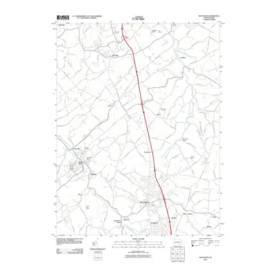 2010 Glen Rock2010 Print · USGSCovers Hopewell Township, including Shrewsbury, New Freedom, and other nearby areas
 - 2010 Map of Stewartstown, 2010 Print
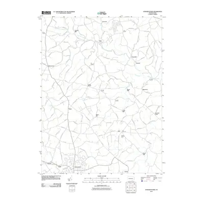 2010 Stewartstown2010 Print · USGSCovers Hopewell Township, including Stewartstown, Cross Roads, and other nearby areas
 - 2011 Map of Norrisville, 2011 Print
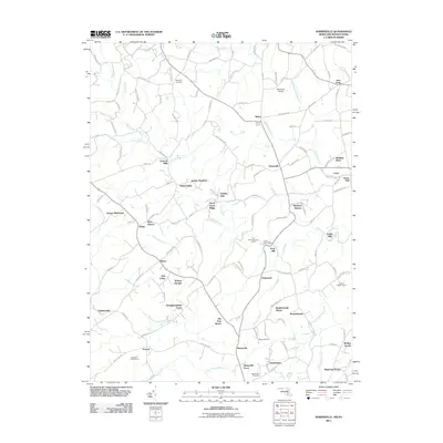 2011 Norrisville2011 Print · USGSCovers Hopewell Township, including Stewartstown, Norrisville, and other nearby areas
 - 2011 Map of New Freedom, 2011 Print
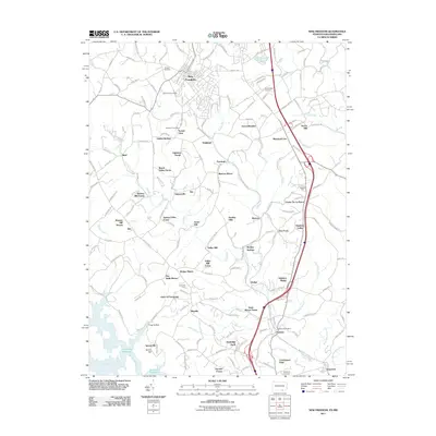 2011 New Freedom2011 Print · USGSCovers Hopewell Township, including Shrewsbury, New Freedom, and other nearby areas
 - 2013 Map of Stewartstown, 2013 Print
 2013 Stewartstown2013 Print · USGSCovers Hopewell Township, including Stewartstown, Cross Roads, and other nearby areas
 - 2013 Map of Glen Rock, 2013 Print
 2013 Glen Rock2013 Print · USGSCovers Hopewell Township, including Shrewsbury, New Freedom, and other nearby areas
 - 2013 Map of New Freedom, 2013 Print
 2013 New Freedom2013 Print · USGSCovers Hopewell Township, including Shrewsbury, New Freedom, and other nearby areas
 - 2014 Map of Norrisville, 2014 Print
 2014 Norrisville2014 Print · USGSCovers Hopewell Township, including Stewartstown, Norrisville, and other nearby areas
 - 2016 Map of New Freedom, 2016 Print
 2016 New Freedom2016 Print · USGSCovers Hopewell Township, including Shrewsbury, New Freedom, and other nearby areas
 - 2016 Map of Glen Rock, 2016 Print
 2016 Glen Rock2016 Print · USGSCovers Hopewell Township, including Shrewsbury, New Freedom, and other nearby areas
 - 2016 Map of Stewartstown, 2016 Print
 2016 Stewartstown2016 Print · USGSCovers Hopewell Township, including Stewartstown, Cross Roads, and other nearby areas
 - 2016 Map of Norrisville, 2016 Print
 2016 Norrisville2016 Print · USGSCovers Hopewell Township, including Stewartstown, Norrisville, and other nearby areas
 - 2019 Map of New Freedom, 2019 Print
 2019 New Freedom2019 Print · USGSCovers Hopewell Township, including Shrewsbury, New Freedom, and other nearby areas
 - 2019 Map of Stewartstown, 2019 Print
 2019 Stewartstown2019 Print · USGSCovers Hopewell Township, including Stewartstown, Cross Roads, and other nearby areas
 - 2019 Map of Glen Rock, 2019 Print
 2019 Glen Rock2019 Print · USGSCovers Hopewell Township, including Shrewsbury, New Freedom, and other nearby areas
 - 2019 Map of Norrisville, 2019 Print
 2019 Norrisville2019 Print · USGSCovers Hopewell Township, including Stewartstown, Norrisville, and other nearby areas
 - 2023 Map of Stewartstown, 2023 Print
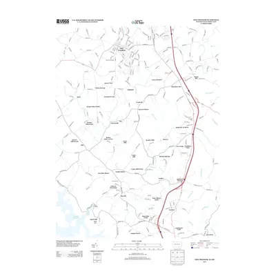
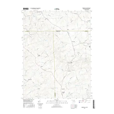
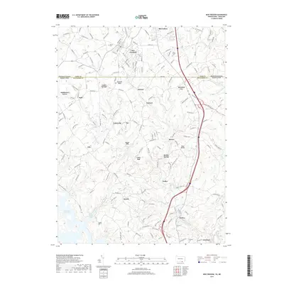
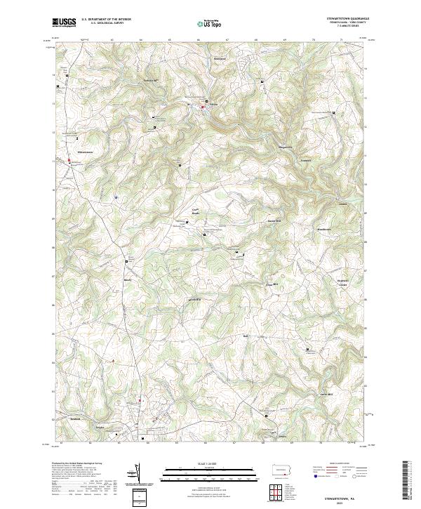 2023 Stewartstown2023 Print · USGSYork County's rural character is preserved in this modern study of the area surrounding Stewartstown and Felton. Genealogists can trace family names through numerous sites like Old Roundhill Cem or the Mount Pleasant Cem.
 - 2023 Map of New Freedom, 2023 Print
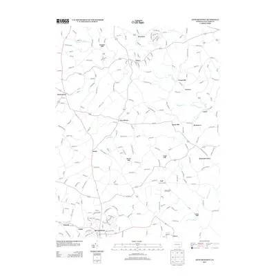
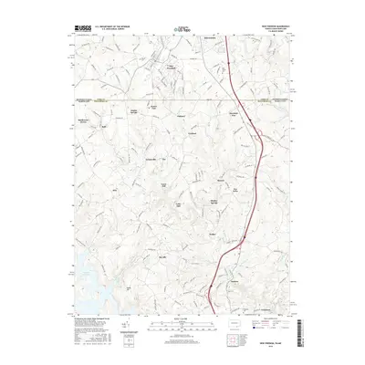
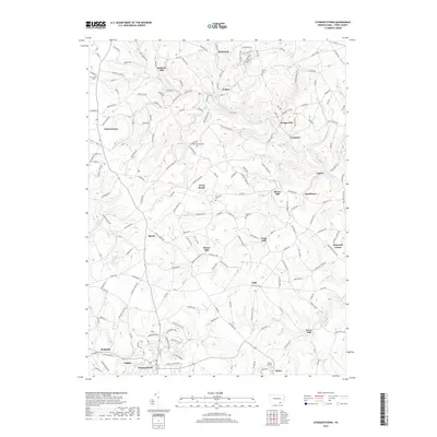
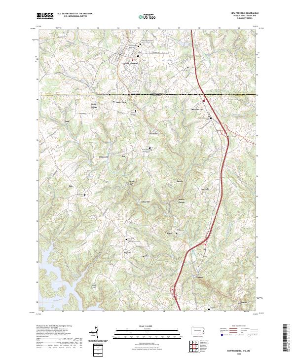 2023 New Freedom2023 Print · USGSCrossing the Pennsylvania-Maryland line in the current era, this map shows a landscape of small border towns and deep family history. Researchers can find numerous local landmarks like Bentley Springs, Maryland Line, and the historic Kelley Family Cem.
 - 2023 Map of Glen Rock, 2023 Print
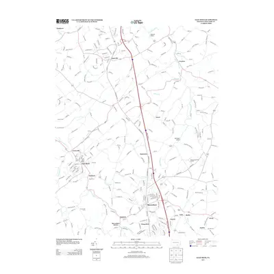
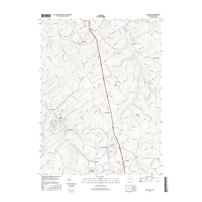
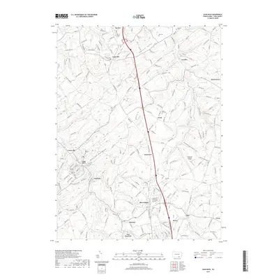
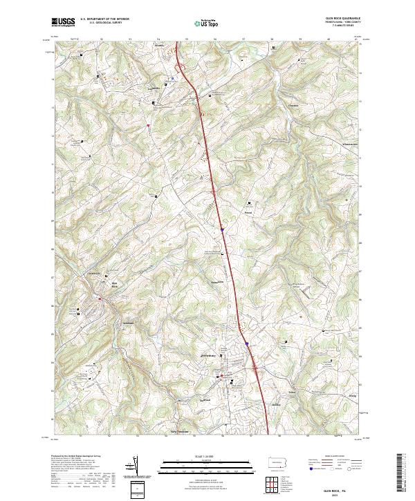 2023 Glen Rock2023 Print · USGSSouthern York County is shown in detail during the early 2020s, centered on the historic corridor between Shrewsbury and New Freedom. Genealogists can trace family names through numerous burial grounds like the Gibson Burial Ground and Joseph Giesey Memorial Cem.
 - 2023 Map of Norrisville, 2023 Print
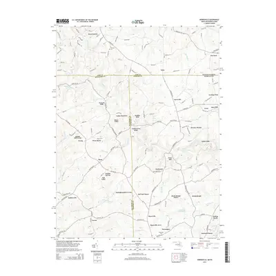
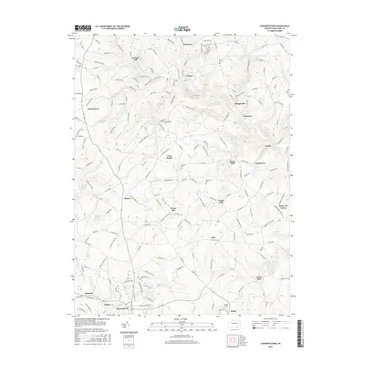
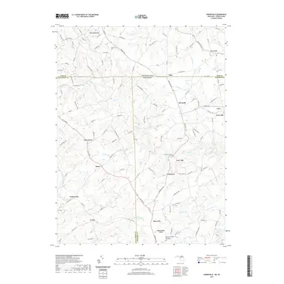
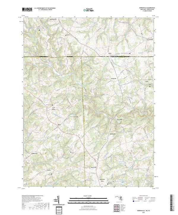 2023 Norrisville2023 Print · USGSThe Mason-Dixon line crosses this rural borderland during the early twenty-first century, where Harford and York counties meet. Researchers can trace ancestral ties through the Almony Family Cem and old milling sites like Amos Mill or Ivory Mill.
End of results
Showing maps 1-20 of 20
Top cities near Hopewell Township
- York historical maps
- Forest Hill historical maps
- Shrewsbury historical maps
- Red Lion historical maps
- West York historical maps
- New Freedom historical maps
See more
Top neighborhoods of Hopewell Township
- Draco historical maps
- Reimold historical maps
- Anstine historical maps
- Sheffer historical maps
- Zeigler historical maps
- Orwig historical maps
See more
Frequently asked questions
- What are the different types of historical maps available for Hopewell Township?
- What is the oldest map of Hopewell Township?
- Where can I purchase historical maps of Hopewell Township for my home or office?
- Where can I download high-res historical maps of Hopewell Township?
- Are there historical topographic maps available for Hopewell Township?
- Is there historical aerial imagery available for Hopewell Township?
- Where are historical maps of Hopewell Township sourced from?