Old Maps of North Hopewell Township, Pennsylvania for Academic Research
Study the evolution of North Hopewell Township with 30 high-resolution historic maps. Whether you're teaching, researching, or modeling changes in land use, these maps provide essential visual documentation of urban, environmental, and geographic change.
- Analyze long-term change: Track patterns in development, transportation, and natural features.
- Ideal for environmental or urban studies: Support academic projects with primary historical map data.
- Use in the classroom or lab: Educators and researchers rely on these maps to bring historical context to life.
These maps are a powerful tool for teaching, research, and visualizing how North Hopewell Township has changed over the decades.
North Hopewell Township, PA maps
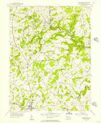
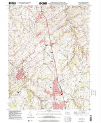
(30)- 1908 Map of York, 1963 Print
 1908 York1963 Print · USGSYork County's diverse industrial and agricultural landscape is captured here in the early twentieth century. Researchers can trace ancestral property near dozens of local landmarks like Margaretta Furnace, Smalls School, and the Camp Meeting Grounds.
 - 1910 Map of York
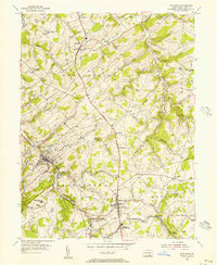
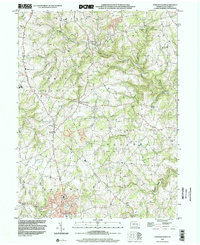
 1910 York1910 Print · USGSYork County at the turn of the century reveals a landscape shaped by rail expansion and deep-rooted rural industry. Genealogists and historians can trace family-named sites like Sechrist Mill, Klein School, and Hopewell Church along the winding Maryland & Pennsylvania RR.6 unique versions available
 - 1948 Map of Baltimore
 1948 Baltimore1948 Print · USGSMaryland and Pennsylvania crossroads are captured in the late 1940s, showing a landscape defined by historic rail lines and major military installations. Genealogists can trace family connections in Gettysburg, Westminster, and near the U.S. Naval Academy in Annapolis.2 unique versions available
 - 1953 Map of Stewartstown, 1956 Print
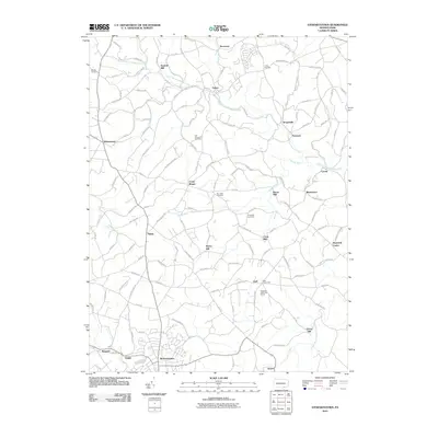
 1953 Stewartstown1956 Print · USGSYork County's agricultural heartland is documented here in the early fifties, as the Maryland and Pennsylvania rail line served rural hubs like Stewartstown. Genealogists and historians can trace legacy landmarks from Sechrist Mill to local burials at Old Roundhill Cem.4 unique versions available
 - 1954 Map of Baltimore
 1954 Baltimore1954 Print · USGSThe Mid-Atlantic region in the early fifties shows a landscape of growing suburban centers and heavy rail corridors. Trace mid-century transit networks and military landmarks from the Aberdeen Proving Ground to the Gettysburg National Military Park.
 - 1954 Map of Glen Rock, 1956 Print
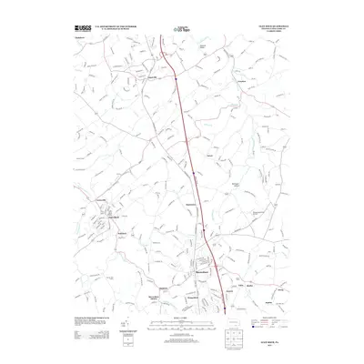
 1954 Glen Rock1956 Print · USGSSouthern York County in the mid-fifties is characterized by the busy rail corridor between Glen Rock and New Freedom. Researchers can trace old family schoolhouses like Krout Sch, historic country churches such as Bupps Union Ch, and the winding Susquehanna Trail.6 unique versions available
 - 1954 Map of York, 1957 Print
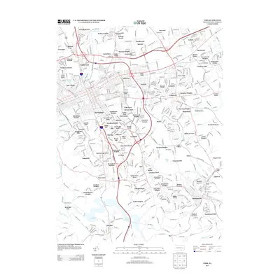
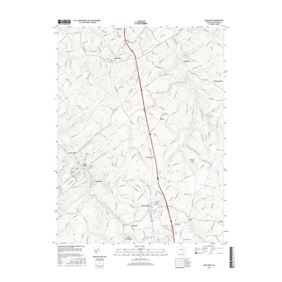
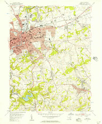 1954 York1957 Print · USGSMid-century York and its surrounding boroughs are captured here during a period of significant post-war growth. Researchers can trace family-named sites and vanished industrial markers like Reynolds Mill, Kralls Ch, and the Drive-in Theater near Stonybrook.4 unique versions available
 - 1956 Map of Baltimore
 1956 Baltimore1956 Print · USGSMid-century Maryland and Pennsylvania are captured here during a period of massive suburban and military growth across the Chesapeake region. Genealogists and historians can trace the rail corridors of the Baltimore & Ohio RR and locate landmarks like Fort McHenry or the Aberdeen Proving Ground.
 - 1957 Map of Baltimore, 1964 Print
 1957 Baltimore1964 Print · USGSMaryland and Southern Pennsylvania are shown during the mid-century expansion of the Baltimore-Washington corridor. Researchers can trace the extensive rail lines of the Baltimore & Ohio RR and locate sites like Fort Detrick and Gettysburg National Military Park.5 unique versions available
 - 1961 Map of Baltimore
 1961 Baltimore1961 Print · USGSMaryland and Pennsylvania are captured at a mid-century peak of industrial and military expansion. Genealogists and historians can trace rail corridors like the Western Maryland Ry or locate regional landmarks such as Camp Detrick and Kent Island.
 - 1983 Map of York, 1984 Print
 1983 York1984 Print · USGSSouth Central Pennsylvania and Northern Maryland meet along the Susquehanna during the early eighties. Genealogists and local historians can trace the transit networks of Conrail and Amtrak through towns like Red Lion and Seven Valleys.2 unique versions available
 - 1989 Map of Baltimore
 1989 Baltimore1989 Print · USGSThe Mid-Atlantic corridor in the late eighties is captured here, from the Baltimore harbor to the Blue Ridge foothills. Researchers can trace the sprawling footprints of Aberdeen Proving Ground, the historic grounds of Gettysburg National Military Park, and the winding Susquehanna River.
 - 1999 Map of York, 2001 Print
 1999 York2001 Print · USGSYork and its surrounding boroughs are captured at the close of the twentieth century, showing a transition from dense urban centers to burgeoning suburban valleys. Trace local history through family landmarks like Reynolds Mill, old burial grounds such as Stump Cem, and the historic Lincoln Highway.
 - 1999 Map of Glen Rock, 2001 Print
 1999 Glen Rock2001 Print · USGSSouthern York County at the end of the twentieth century shows a landscape of historic boroughs linked by winding creeks and modern interchanges. Genealogists and local historians can trace family sites at Friedensaal Ch Cem, the borough of Glen Rock, and the aptly named village of Railroad.
 - 1999 Map of Stewartstown, 2002 Print
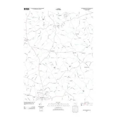
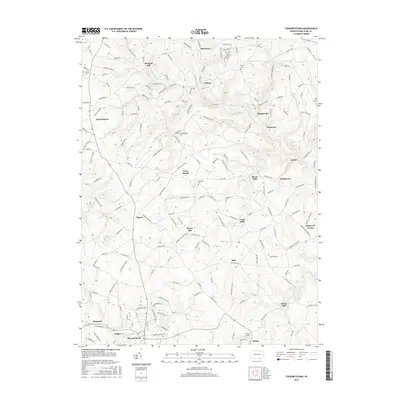
 1999 Stewartstown2002 Print · USGSSouthern York County's agrarian landscape is preserved here as it appeared in the late twentieth century, centered on the hub of Stewartstown. Researchers can trace the legacy of local industry through family-named landmarks like Sechrist Mill, Hyson Mill, and Grove Mill.
 - 2010 Map of Glen Rock, 2010 Print
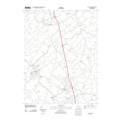 2010 Glen Rock2010 Print · USGSCovers North Hopewell Township, including Shrewsbury, New Freedom, and other nearby areas
 - 2010 Map of York, 2010 Print
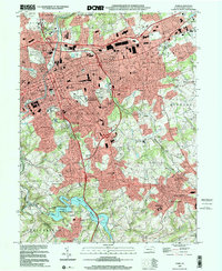
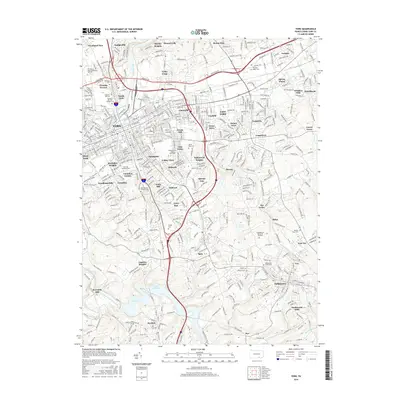
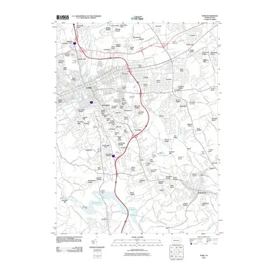 2010 York2010 Print · USGSCovers North Hopewell Township, including York, West York, and other nearby areas
 - 2010 Map of Stewartstown, 2010 Print
 2010 Stewartstown2010 Print · USGSCovers North Hopewell Township, including Stewartstown, Cross Roads, and other nearby areas
 - 2013 Map of Stewartstown, 2013 Print
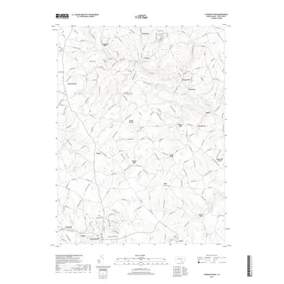
 2013 Stewartstown2013 Print · USGSCovers North Hopewell Township, including Stewartstown, Cross Roads, and other nearby areas
 - 2013 Map of Glen Rock, 2013 Print
 2013 Glen Rock2013 Print · USGSCovers North Hopewell Township, including Shrewsbury, New Freedom, and other nearby areas
 - 2013 Map of York, 2013 Print
 2013 York2013 Print · USGSCovers North Hopewell Township, including York, West York, and other nearby areas
 - 2016 Map of Glen Rock, 2016 Print
 2016 Glen Rock2016 Print · USGSCovers North Hopewell Township, including Shrewsbury, New Freedom, and other nearby areas
 - 2016 Map of Stewartstown, 2016 Print
 2016 Stewartstown2016 Print · USGSCovers North Hopewell Township, including Stewartstown, Cross Roads, and other nearby areas
 - 2016 Map of York, 2016 Print
 2016 York2016 Print · USGSCovers North Hopewell Township, including York, West York, and other nearby areas
 - 2019 Map of Stewartstown, 2019 Print
 2019 Stewartstown2019 Print · USGSCovers North Hopewell Township, including Stewartstown, Cross Roads, and other nearby areas
Showing maps 1-25 of 30
Top cities near North Hopewell Township
- York historical maps
- Columbia historical maps
- Shrewsbury historical maps
- Red Lion historical maps
- West York historical maps
- New Freedom historical maps
See more
Frequently asked questions
- What are the different types of historical maps available for North Hopewell Township?
- What is the oldest map of North Hopewell Township?
- Where can I purchase historical maps of North Hopewell Township for my home or office?
- Where can I download high-res historical maps of North Hopewell Township?
- Are there historical topographic maps available for North Hopewell Township?
- Is there historical aerial imagery available for North Hopewell Township?
- Where are historical maps of North Hopewell Township sourced from?