Old Maps of Kent County, Rhode Island for Academic Research
Study the evolution of Kent County with 108 high-resolution historic maps. Whether you're teaching, researching, or modeling changes in land use, these maps provide essential visual documentation of urban, environmental, and geographic change.
- Analyze long-term change: Track patterns in development, transportation, and natural features.
- Ideal for environmental or urban studies: Support academic projects with primary historical map data.
- Use in the classroom or lab: Educators and researchers rely on these maps to bring historical context to life.
These maps are a powerful tool for teaching, research, and visualizing how Kent County has changed over the decades.
Kent County, RI maps
(108)- 1887 Map of Providence
 1887 Providence1887 Print · USGSProvidence and its surrounding mill towns are captured here at the height of the industrial era. Trace the rail-and-river infrastructure of the Blackstone River through Lorraine Mills, Saylesville, and the Cranston Print Works.
 - 1889 Map of Providence
 1889 Providence1889 Print · USGSProvidence and its industrial corridors thrive at the close of the nineteenth century as a massive rail-and-water network takes shape. Genealogists and historians can trace the foundations of local industry at the Sayles Bleachery or locate long-standing institutions like Friends School and Dexter Asylum.
 - 1889 Map of Moosup
 1889 Moosup1889 Print · USGSThe Connecticut-Rhode Island borderlands were a hive of rail activity and river power in the late nineteenth century. You can trace early transit routes through Plainfield Junction or locate rural landmarks like Moosup Valley P.O. and Sterling Station.
 - 1890 Map of Narragansett Bay
 1890 Narragansett Bay1890 Print · USGSNarragansett Bay's western shore comes to life in the late nineteenth century, showing a landscape of rail-linked villages and coastal landmarks. Genealogists and historians can trace old homesteads and transit hubs from Wickford Junction to the State Farm and the Bristol Ferry.
 - 1890 Map of Kent
 1890 Kent1890 Print · USGSRhode Island's industrial heartland is in full swing during the late nineteenth century, dominated by mill towns and busy rail lines. Trace the development of Phenix, Coventry Center, and Arctic along the Pawtuxet River and the expanding New York and New England Railroad.
 - 1892 Map of Narragansett Bay
 1892 Narragansett Bay1892 Print · USGSNarragansett Bay in the late nineteenth century reveals a coastline defined by maritime commerce and early rail connectivity. Genealogists can trace family roots in old village centers like Wickford, Apponaug, and Conimicut, or locate the State Prison near Natick.8 unique versions available
 - 1893 Map of Moosup
 1893 Moosup1893 Print · USGSEastern Connecticut and western Rhode Island meet here in the late nineteenth century at a peak of rail-driven industry. Genealogists can trace family footprints through historic hubs like Jewett City, Hopkins Hollow, and the mills surrounding Pachaug Pond.7 unique versions available
 - 1894 Map of Kent
 1894 Kent1894 Print · USGSCentral Rhode Island’s mill towns and rural uplands are shown here at the height of the Victorian era. Researchers can trace the path of the Valley Railroad through industrial hubs like Phenix or locate small settlements like Noose Neck and Usquepaug.7 unique versions available
 - 1894 Map of Providence
 1894 Providence1894 Print · USGSThe industrial corridor from Providence to Pawtucket thrives in the 1890s as a hub of rail and river commerce. Genealogists can trace early neighborhood lines and locate vanished institutions like the Dexter Asylum, Sayles Bleachery, and the Butler Hospital.10 unique versions available
 - 1919 Map of Narragansett Bay, 1921 Print
 1919 Narragansett Bay1921 Print · USGSThe Rhode Island coast thrived as a hub of rail and maritime activity during the early twentieth century. Genealogists and historians can trace rail lines like the Sea View Electric R.R. and locate old landmarks like the Portsmouth Coal Mines and State Farm.2 unique versions available
 - 1920 Map of Moosup
 1920 Moosup1920 Print · USGSEastern Connecticut and the Rhode Island border were thriving hubs of textile milling and rail transit just after the Great War. Genealogists and local historians can trace family-named locations such as Hopkins Hollow, industrial sites like Sterling Station, and the intricate rail network at Plainfield Junction.
 - 1921 Map of Providence
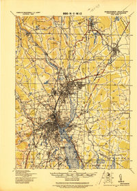 1921 Providence1921 Print · USGSProvidence and its industrial satellites are captured here at the height of the rail-and-mill era. Genealogists and historians can trace old neighborhoods and worksites like Sayles Bleachery, the Dexter Asylum, and Lonsdale Station.
 - 1935 Map of Providence, 1958 Print
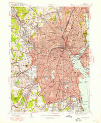 1935 Providence1958 Print · USGSProvidence and its industrial periphery are shown in detail during the mid-1930s, capturing the city's dense urban fabric and riverside mill settlements. Genealogists and historians can locate family landmarks like the Dexter Asylum, St Anns Cemetery, and the State Home for Children.
 - 1939 Map of Providence
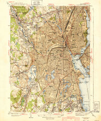 1939 Providence1939 Print · USGSThe Rhode Island capital appears in full detail during the 1930s, showing a landscape defined by urban density and river-driven industry. Researchers can trace historic family plots in the North Burial Ground or locate vanished neighborhoods near Olneyville and Pawtuxet.3 unique versions available
 - 1939 Map of Bristol, 1953 Print
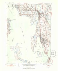 1939 Bristol1953 Print · USGSCoastal Rhode Island just before the war shows a landscape of busy maritime towns and expanding shorefront neighborhoods. Trace the foundations of the community through the Soldiers Home, Juniper Hill Cem, and the New Haven and Hartford RR line.2 unique versions available
 - 1942 Map of Wickford, 1957 Print
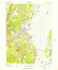 1942 Wickford1957 Print · USGSWickford and the West Passage are captured here just as modern transit began to reshape the coastline. Genealogists can trace family names at Quidnessett Cem and Allenton Cem or locate homes near Wickford Junction and Hamilton.
 - 1942 Map of East Greenwich, 1958 Print
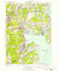 1942 East Greenwich1958 Print · USGSThe Rhode Island coast south of Cranston was a hub of institutional life and maritime activity in the early 1940s. Genealogists and historians can trace the foundations of Apponaug, the grounds of the State Farm, or locate the St Marys Ch and Oakland Beach Sch.
 - 1943 Map of Voluntown
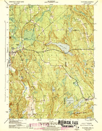 1943 Voluntown1943 Print · USGSThe Connecticut and Rhode Island borderlands are shown here during the early 1940s, capturing the rural character of New London and Washington Counties. Researchers can trace ancestral locations at Rockville and Voluntown, or locate historic sites like Wylie Sch and the Rockville Cem.4 unique versions available
 - 1943 Map of Providence
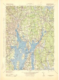 1943 Providence1943 Print · USGSNarragansett Bay and the industrial Blackstone Valley appear here in the midst of the Second World War. Genealogists and researchers can trace local landmarks like Lonsdale Station, the St Marys Reservoir, and the Rhode Island State Airport.
 - 1943 Map of Crompton
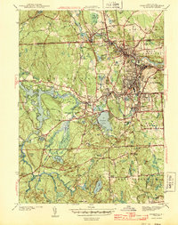 1943 Crompton1943 Print · USGSCentral Rhode Island during the early 1940s reveals a dense landscape of river-powered industrial villages and expanding reservoirs. Trace the rail-and-river network through Phenix, locate local family sites near Mishnock Swamp, or find old schools like Read Sch.4 unique versions available
 - 1943 Map of Slocum
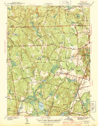 1943 Slocum1943 Print · USGSRhode Island's rural interior comes into focus during the early 1940s, showing a landscape of upland farms, mill ponds, and dispersed hamlets. Researchers can locate vanished schoolhouses and local landmarks like Hitty Corner Sch, Yorker Mill Pond, and the State Hospital.2 unique versions available
 - 1943 Map of Hope Valley
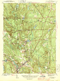 1943 Hope Valley1943 Print · USGSSouthern Rhode Island’s rural mill villages and inland waterways are preserved here in the early nineteen-forties. Genealogists and historians can trace the foundations of local life through the Barber Cem, the Old Bates Sch, and the industrial cluster at Hope Valley.2 unique versions available
 - 1943 Map of Bristol
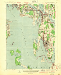 1943 Bristol1943 Print · USGSNarragansett Bay and the Bristol peninsula appear here in the early 1940s, showing a landscape defined by maritime commerce and rail travel. Trace the former route of the New York New Haven and Hartford railroad or locate the Soldiers Home and historic Juniper Hill Cem.2 unique versions available
 - 1943 Map of Coventry
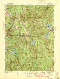 1943 Coventry1943 Print · USGSKent County at the height of the war years reveals a landscape of upland forests and tightly-knit crossroads settlements. Genealogists and historians can trace family-named sites like Bowen Hill, rural schools such as Louttit Sch, and early infrastructure including the Airway Beacon.3 unique versions available
 - 1943 Map of Putnam, 1944 Print
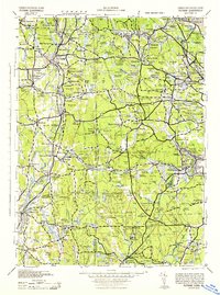 1943 Putnam1944 Print · USGSThe Connecticut and Rhode Island borderlands are captured here during the wartime era, showing a landscape defined by textile river towns and sprawling state forests. Trace the industrial rail corridor of the New York New Haven and Hartford through Putnam, Danielson, and Moosup.
Showing maps 1-25 of 108
Top cities of Kent County
- Warwick historical maps
- Coventry historical maps
- West Warwick historical maps
- East Greenwich historical maps
- West Greenwich historical maps
Frequently asked questions
- What are the different types of historical maps available for Kent County?
- What is the oldest map of Kent County?
- Where can I purchase historical maps of Kent County for my home or office?
- Where can I download high-res historical maps of Kent County?
- Are there historical topographic maps available for Kent County?
- Is there historical aerial imagery available for Kent County?
- Where are historical maps of Kent County sourced from?