2000s (21st Century) Maps of Warwick, Rhode Island
Explore 20 historic maps of Warwick from the 2000s (21st Century). These maps offer a rare glimpse into what life looked like during the 2000s — showing old roads, neighborhoods, homes, and landmarks that have changed or disappeared over time.
Whether you're researching your family's past, planning a metal detecting trip, or studying how Warwick's landscape evolved across the 2000s, these high-resolution maps are a powerful tool for exploring the history of this region.
- Focus on a specific era: All maps on this page are from the 2000s, giving you a focused view of this time period.
- See what’s changed: Compare century-old streets, trails, and buildings to today's modern landscape using overlays and satellite layers.
- Research with precision: Use these maps for genealogy, historical research, land use analysis, or educational projects.
- View, download, or print: Maps are fully viewable online in high resolution, and can be downloaded or printed for your own records.
Start exploring Warwick's history through authentic maps from the 2000s. This is your window into the past.
Warwick, RI maps
(20)- 2012 Map of Crompton, 2012 Print
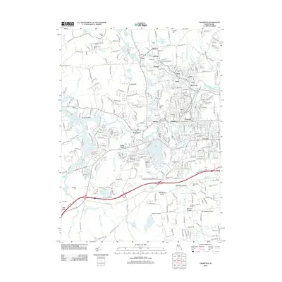 2012 Crompton2012 Print · USGSCovers Warwick, including Cranston, Coventry, and other nearby areas
 - 2012 Map of Bristol, 2012 Print
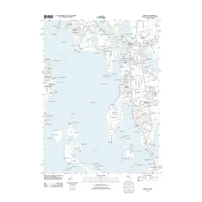 2012 Bristol2012 Print · USGSCovers Warwick, including East Providence, Bristol, and other nearby areas
 - 2012 Map of East Greenwich, 2012 Print
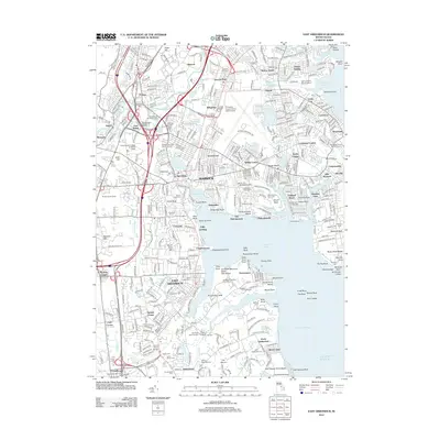 2012 East Greenwich2012 Print · USGSCovers Warwick, including Cranston, West Warwick, and other nearby areas
 - 2012 Map of Providence, 2012 Print
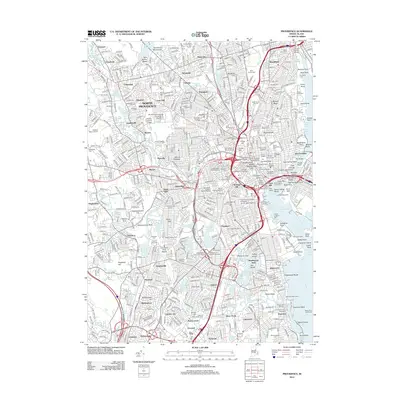 2012 Providence2012 Print · USGSCovers Warwick, including Providence, Cranston, and other nearby areas
 - 2015 Map of Bristol, 2015 Print
 2015 Bristol2015 Print · USGSCovers Warwick, including East Providence, Bristol, and other nearby areas
 - 2015 Map of Crompton, 2015 Print
 2015 Crompton2015 Print · USGSCovers Warwick, including Cranston, Coventry, and other nearby areas
 - 2015 Map of Providence, 2015 Print
 2015 Providence2015 Print · USGSCovers Warwick, including Providence, Cranston, and other nearby areas
 - 2015 Map of East Greenwich, 2015 Print
 2015 East Greenwich2015 Print · USGSCovers Warwick, including Cranston, West Warwick, and other nearby areas
 - 2018 Map of East Greenwich, 2018 Print
 2018 East Greenwich2018 Print · USGSCovers Warwick, including Cranston, West Warwick, and other nearby areas
 - 2018 Map of Crompton, 2018 Print
 2018 Crompton2018 Print · USGSCovers Warwick, including Cranston, Coventry, and other nearby areas
 - 2018 Map of Bristol, 2018 Print
 2018 Bristol2018 Print · USGSCovers Warwick, including East Providence, Bristol, and other nearby areas
 - 2018 Map of Providence, 2018 Print
 2018 Providence2018 Print · USGSCovers Warwick, including Providence, Cranston, and other nearby areas
 - 2021 Map of Crompton, 2021 Print
 2021 Crompton2021 Print · USGSCovers Warwick, including Cranston, Coventry, and other nearby areas
 - 2021 Map of East Greenwich, 2021 Print
 2021 East Greenwich2021 Print · USGSCovers Warwick, including Cranston, West Warwick, and other nearby areas
 - 2021 Map of Bristol, 2021 Print
 2021 Bristol2021 Print · USGSCovers Warwick, including East Providence, Bristol, and other nearby areas
 - 2021 Map of Providence, 2021 Print
 2021 Providence2021 Print · USGSCovers Warwick, including Providence, Cranston, and other nearby areas
 - 2024 Map of East Greenwich, 2024 Print
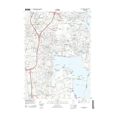
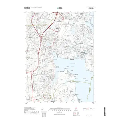
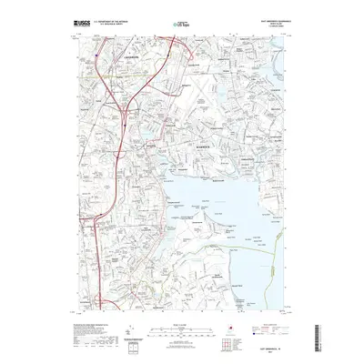
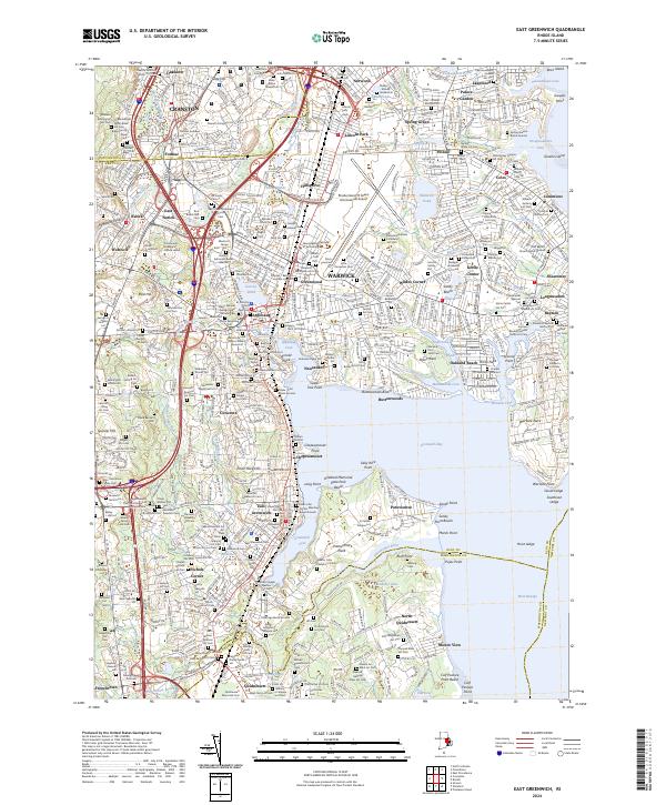 2024 East Greenwich2024 Print · USGSThe Rhode Island shoreline at Greenwich Bay shows a complex blend of deep family history and major infrastructure. Genealogists can trace dozens of private burial grounds like the Prophet Holden Lot and Wanton Arnold Major William Snow Lot alongside the modern TF Green International Airport.
 - 2024 Map of Crompton, 2024 Print
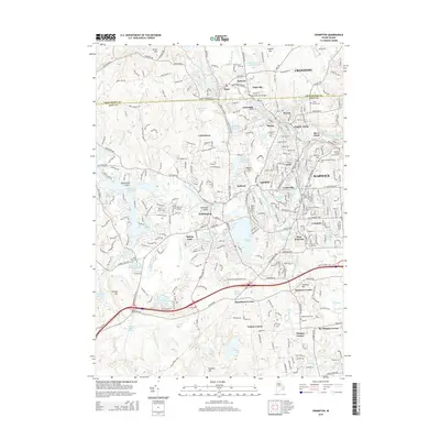
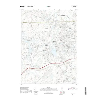
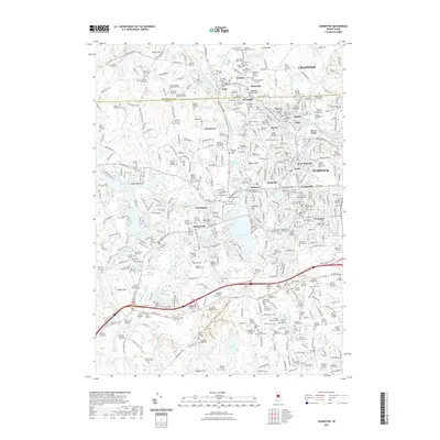
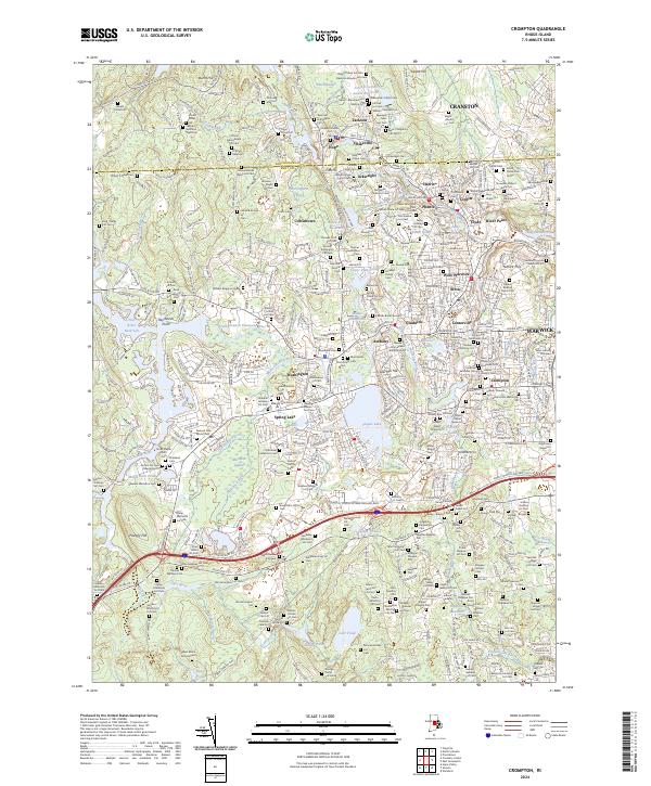 2024 Crompton2024 Print · USGSThe industrial river valleys of Kent County appear in high detail during the early twenty-first century. Genealogists can trace family lineages through the Friends Burial Ground and Joseph Potter Lot while exploring the mill towns of Arctic and Phenix.
 - 2024 Map of Bristol, 2024 Print
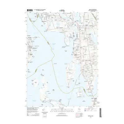
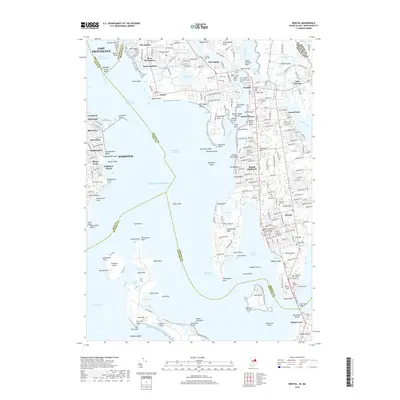
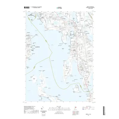
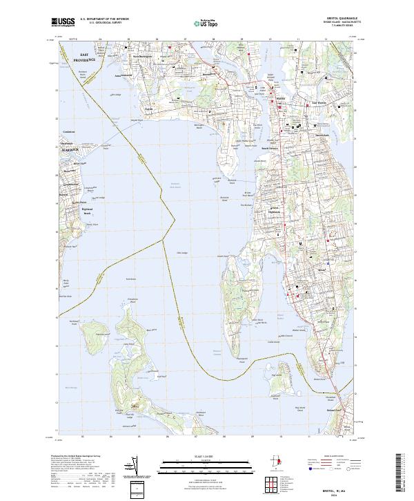 2024 Bristol2024 Print · USGSNarragansett Bay and the East Bay peninsulas are shown in meticulous detail during the early 2020s. Genealogists can locate family landmarks like the Obadiah Bowen Lot, while historians can trace the bounds of Bristol Ferry and Prince's Hill Burial Ground.
 - 2024 Map of Providence, 2024 Print
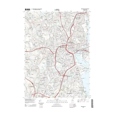
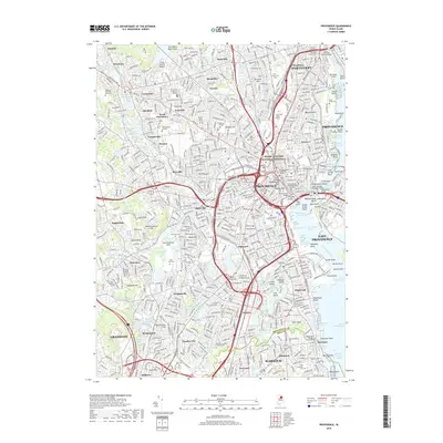
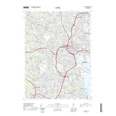
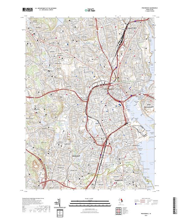 2024 Providence2024 Print · USGSProvidence and its neighboring mill towns appear in high detail during the early 2020s, showing the dense urban fabric of the Rhode Island capital. Researchers can pinpoint historic family plots and academic landmarks from Brown University to the North Burial Ground and Pocasset Cemetery.
End of results
Showing maps 1-20 of 20
Top cities near Warwick
- Providence historical maps
- Cranston historical maps
- Pawtucket historical maps
- East Providence historical maps
- Attleboro historical maps
- Coventry historical maps
See more
Top neighborhoods of Warwick
- Apponaug historical maps
- Apponaug Historic District historical maps
- Bayside historical maps
- Buttonwoods historical maps
- Chepiwanoxet historical maps
- Norwood historical maps
See more
Frequently asked questions
- What are the different types of historical maps available for Warwick?
- What is the oldest map of Warwick?
- Where can I purchase historical maps of Warwick for my home or office?
- Where can I download high-res historical maps of Warwick?
- Are there historical topographic maps available for Warwick?
- Is there historical aerial imagery available for Warwick?
- Where are historical maps of Warwick sourced from?