Old Maps of Tocito, Shiprock Agency
Explore 13 old maps of Tocito, spanning from 1889 to today. These high-resolution historic maps reveal how streets, neighborhoods, landmarks, and natural features evolved over time — perfect for genealogy, metal detecting, research, and local history exploration.
What you can do with these maps:
- See how Tocito changed over time: Compare historical maps to modern-day views to trace roads, homesites, rail lines & more.
- View detailed metadata: Each map includes creators, publishers, year, scale, and archive source.
- Overlay maps with satellite & LiDAR: Visualize the past alongside modern tools to explore terrain & human change.
- Trusted historical sources: Maps sourced from the USGS, Library of Congress, and other archives.
- Access maps your way: View online, download high-res files, or order prints for personal or research use.
Start exploring old maps of Tocito to uncover forgotten places, hidden landmarks, and the deep history beneath your feet.
Tocito, Shiprock Agency maps
(13)- 1889 Map of Chaco
 1889 Chaco1889 Print · USGSNorthwestern New Mexico appears here in the late nineteenth century as a frontier of emerging river settlements and high-desert springs. Researchers can trace early footprints at Farmington and Aztec, or locate watering points like Sheep Spring and Seven Lakes.
 - 1892 Map of Chaco
 1892 Chaco1892 Print · USGSNorthwestern New Mexico in the late nineteenth century reveals the early river-side foundations of the Four Corners region. Genealogists and historians can trace the development of Farmington, Aztec, and Jewett along the San Juan River and the high desert outpost of Seven Lakes.5 unique versions available
 - 1953 Map of Sanostee, 1954 Print
 1953 Sanostee1954 Print · USGSThe high desert of northwestern New Mexico is captured here in the mid-fifties, featuring the eastern slopes of the Chuska Mountains. Genealogists and historians can locate early centers of commerce like the Sanostee Trading Post and trace the complex network of irrigation ditches along Pena Blanca Creek.
 - 1954 Map of Shiprock
 1954 Shiprock1954 Print · USGSThe Four Corners region in the mid-fifties reveals a vast landscape of tribal lands and desert landmarks. Researchers can trace the mid-century footprints of the Navajo Indian Reservation, identifying remote Trading Posts, the early growth of Farmington, and the iconic spire of Ship Rock.5 unique versions available
 - 1958 Map of Shiprock
 1958 Shiprock1958 Print · USGSThe Four Corners region in the mid-fifties shows a vast network of remote outposts and river settlements. You can locate numerous historic sites like the Emmanuel Mission and several commercial hubs such as Burnham Trading Post and Bisti Trading Post.
 - 1959 Map of Shiprock
 1959 Shiprock1959 Print · USGSThe Four Corners region comes alive in the mid-fifties, showing the high desert outposts and river-valley towns of the Navajo Nation and San Juan County. Genealogists and researchers can locate remote landmarks like the Burnham Trading Post, Two Grey Hills, and the early Helium Plant.
 - 1966 Map of Sanostee East, 1970 Print
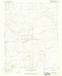 1966 Sanostee East1970 Print · USGSSan Juan County within the Navajo Nation during the mid-1960s shows a landscape of traditional water sources and emerging energy production. Genealogists and historians can trace the paths of Sanostee Wash past Rock Mesa or locate the remote Tocito Springs.2 unique versions available
 - 1980 Map of Toadlena, 1981 Print
 1980 Toadlena1981 Print · USGSSan Juan County and the Navajo Nation are shown in the 1980s as a landscape of high mesas and desert washes. Trace the routes between Toadlena, the Tsaya Trading Post, and the ancient grounds of Chaco Canyon National Monument.3 unique versions available
 - 2010 Map of Sanostee East, 2010 Print
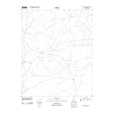 2010 Sanostee East2010 Print · USGSSanostee and the surrounding Shiprock Agency are documented here in the early twenty-first century as the high-desert landscape modernizes. Local historians and genealogists can trace families around the Sanostee Trading Post and Tocito, or locate the Tocito Dome Oil Field.
 - 2013 Map of Sanostee East, 2013 Print
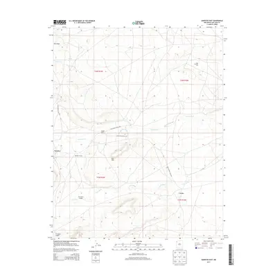 2013 Sanostee East2013 Print · USGSThe Shiprock Agency area in the early twenty-first century reveals a high-desert landscape shaped by tribal infrastructure and seasonal washes. Researchers can trace local landmarks like the Sanostee Trading Post, the Tocito Dome Oil Field, and Rock Mesa.
 - 2017 Map of Sanostee East, 2017 Print
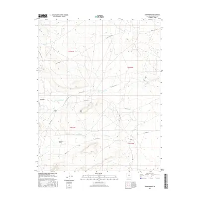 2017 Sanostee East2017 Print · USGSShiprock Agency territory in the twenty-first century reveals a desert landscape of mesas and canyons defined by tribal road networks. Researchers can trace the pathways of Indian Svc Rte 5005 between Sanostee, Tocito, and Rock Mesa.
 - 2020 Map of Sanostee East, 2020 Print
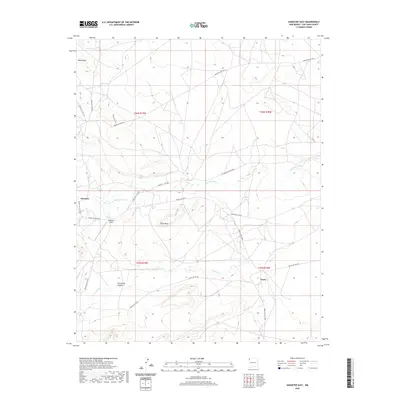 2020 Sanostee East2020 Print · USGSThe high-desert terrain of San Juan County comes into focus in this modern era, centered on the settlements of Sanostee and Tocito. Researchers can trace the network of service roads and remote landmarks like Rock Mesa and the Sanostee Airport.
 - 2023 Map of Sanostee East, 2023 Print
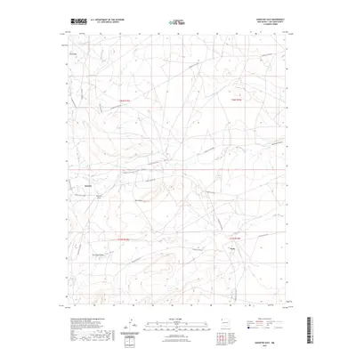 2023 Sanostee East2023 Print · USGSSanostee and the surrounding high-desert plateaus are shown in detail during the early 2020s. Researchers can trace the local road network and land use near Sanostee Airport and along the seasonal Sanostee Wash.
End of results
Showing maps 1-13 of 13
Top cities near Tocito
- Shiprock Agency historical maps
- Chinle Agency historical maps
- Fort Defiance Agency historical maps
- Eastern Navajo Agency historical maps
Frequently asked questions
- What are the different types of historical maps available for Tocito?
- What is the oldest map of Tocito?
- Where can I purchase historical maps of Tocito for my home or office?
- Where can I download high-res historical maps of Tocito?
- Are there historical topographic maps available for Tocito?
- Is there historical aerial imagery available for Tocito?
- Where are historical maps of Tocito sourced from?