Old Maps of Yazzi, Shiprock Agency for Hiking & Exploration
Hike through history with 12 historic maps of Yazzi. Explore old trails, ghost towns, and forgotten backroads — perfect for outdoor adventurers and local explorers.
- Rediscover forgotten places: Map out old mining camps, roads, and footpaths that no longer exist on modern maps.
- Layer with modern tools: Combine with LiDAR or satellite views to plan hikes through historical terrain.
- Made for exploration: Popular among hikers, overlanders, and local history lovers.
Use these maps to find adventure and explore the hidden past of Yazzi.
Yazzi, Shiprock Agency maps
(12)- 1892 Map of Canyon De Chelly
 1892 Canyon De Chelly1892 Print · USGSApache County's high desert and deep sandstone canyons are documented here in the early 1890s, shortly after the initial 1883 survey. Modern researchers can trace the intricate drainages of Canyon De Chelly and find early water sources like Hospitito Spring and Tatezaka Tank.5 unique versions available
 - 1953 Map of Redrock Valley SW, 1954 Print
 1953 Redrock Valley SW1954 Print · USGSThe high plateau and mountain ranges of Apache County are captured here in the early fifties, showing the isolated outposts of the Navajo Indian Reservation. Researchers can trace the layout of the Cove School and locate the mountain-guarded Emergency Landing Strip and Natural Arch.
 - 1953 Map of Redrock Valley, 1956 Print
 1953 Redrock Valley1956 Print · USGSThe Navajo Nation's high-desert country comes into focus in the early fifties, where the Arizona and New Mexico borders meet. Geologists and local historians can trace the foundations of Red Rock and Black Rock, or locate early Mines and the remote Cove Sch.2 unique versions available
 - 1954 Map of Shiprock
 1954 Shiprock1954 Print · USGSThe Four Corners region in the mid-fifties reveals a vast landscape of tribal lands and desert landmarks. Researchers can trace the mid-century footprints of the Navajo Indian Reservation, identifying remote Trading Posts, the early growth of Farmington, and the iconic spire of Ship Rock.5 unique versions available
 - 1958 Map of Shiprock
 1958 Shiprock1958 Print · USGSThe Four Corners region in the mid-fifties shows a vast network of remote outposts and river settlements. You can locate numerous historic sites like the Emmanuel Mission and several commercial hubs such as Burnham Trading Post and Bisti Trading Post.
 - 1959 Map of Shiprock
 1959 Shiprock1959 Print · USGSThe Four Corners region comes alive in the mid-fifties, showing the high desert outposts and river-valley towns of the Navajo Nation and San Juan County. Genealogists and researchers can locate remote landmarks like the Burnham Trading Post, Two Grey Hills, and the early Helium Plant.
 - 1982 Map of Cove, 1983 Print
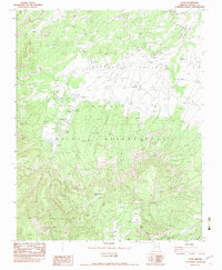 1982 Cove1983 Print · USGSTraditional Navajo lands in Apache County are captured here in the early eighties as the community of Cove centers its life between the peaks and the valley. Researchers can trace local landmarks like the Cove Day Sch and find remote water sources such as Cottonwood Spring and Pine Spring Water.
 - 1986 Map of Rock Point, 1987 Print
 1986 Rock Point1987 Print · USGSThe Navajo Nation's high desert landscape is documented here in the mid-eighties as it spans four states. Researchers can locate remote uranium operations like Sun Tan Mine, seasonal water sources at Sweetwater Wash, and desert outposts like Beclabito and Tes Nez Iah.2 unique versions available
 - 2011 Map of Cove, 2011 Print
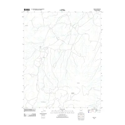 2011 Cove2011 Print · USGSThe Shiprock Agency region comes into focus during the early twenty-first century as a land of mountain peaks and desert springs. Researchers can trace rural settlement patterns near Cove and Yazzi, while locating remote landmarks like Royal Arch and Cottonwood Spring.
 - 2014 Map of Cove, 2014 Print
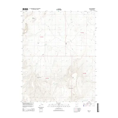 2014 Cove2014 Print · USGSCove and the surrounding high country are captured here in the early twenty-first century as the landscape shifts from desert wash to mountain peak. Researchers can trace local water sources like Pine Water Spring and landmarks such as the Royal Arch and Yazzi.
 - 2018 Map of Cove, 2018 Print
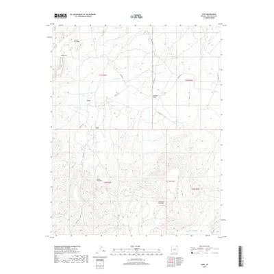 2018 Cove2018 Print · USGSShiprock Agency territory in the late 2010s is defined by the sharp transition between valley floors and the towering Chuska Mountains. Researchers can trace the layout of Cove and find local landmarks like Cottonwood Spring, Royal Arch, and Red Rock Valley.
 - 2021 Map of Cove, 2021 Print
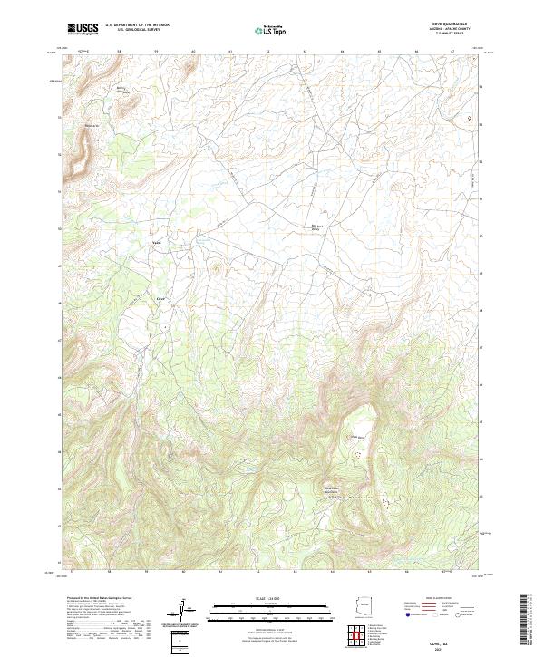 2021 Cove2021 Print · USGSNortheastern Arizona at the foot of the mountains reveals a network of high-desert settlements and traditional routes. Genealogists and researchers can trace local landmarks like Cove, Yazzi, and the vital Cottonwood Spring nestled along Cove Wash.
End of results
Showing maps 1-12 of 12
Top cities near Yazzi
Frequently asked questions
- What are the different types of historical maps available for Yazzi?
- What is the oldest map of Yazzi?
- Where can I purchase historical maps of Yazzi for my home or office?
- Where can I download high-res historical maps of Yazzi?
- Are there historical topographic maps available for Yazzi?
- Is there historical aerial imagery available for Yazzi?
- Where are historical maps of Yazzi sourced from?