2020s Maps of Fairfax, South Carolina
Explore 4 historic maps of Fairfax from the 2020s. These maps offer a rare glimpse into what life looked like during the 2020s — showing old roads, neighborhoods, homes, and landmarks that have changed or disappeared over time.
Whether you're researching your family's past, planning a metal detecting trip, or studying how Fairfax's landscape evolved across the 2020s, these high-resolution maps are a powerful tool for exploring the history of this region.
- Focus on a specific era: All maps on this page are from the 2020s, giving you a focused view of this time period.
- See what’s changed: Compare century-old streets, trails, and buildings to today's modern landscape using overlays and satellite layers.
- Research with precision: Use these maps for genealogy, historical research, land use analysis, or educational projects.
- View, download, or print: Maps are fully viewable online in high resolution, and can be downloaded or printed for your own records.
Start exploring Fairfax's history through authentic maps from the 2020s. This is your window into the past.
Fairfax, SC maps
(4)- 2020 Map of Fairfax, 2020 Print
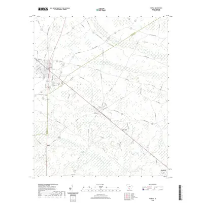 2020 Fairfax2020 Print · USGSCovers Fairfax, including Hampton, Brunson, and other nearby areas
 - 2020 Map of Barton, 2020 Print
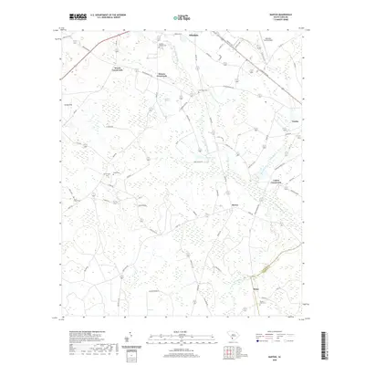 2020 Barton2020 Print · USGSCovers Fairfax, including Allendale, Rouse, and other nearby areas
 - 2024 Map of Fairfax, 2024 Print
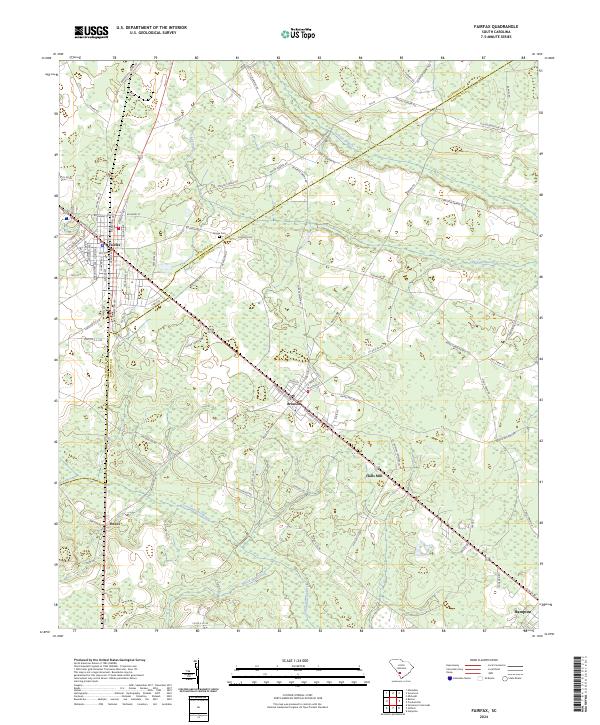 2024 Fairfax2024 Print · USGSThe borderlands of Allendale and Hampton Counties come alive in this recent survey, showcasing the enduring rail-and-road network of the Lowcountry. Genealogists and local historians can trace family-named routes like John P Carter Rd and locate sites such as Googe Cem and Halls Mill.
 - 2024 Map of Barton, 2024 Print
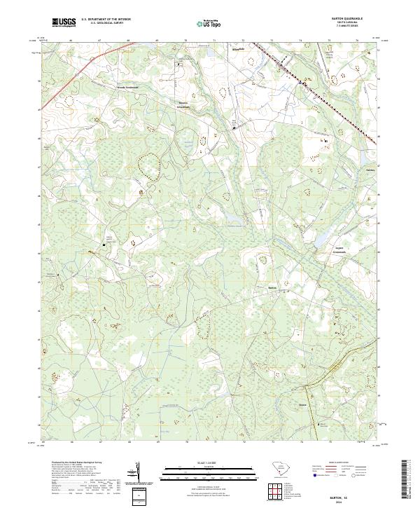 2024 Barton2024 Print · USGSCoastal plain crossroads and river wetlands define the landscape of Allendale and Hampton counties in recent years. Genealogists and local historians can trace family-named sites like Smyma Baptist Church Cem, Lopers Crossroads, and Swallow Savanna.
End of results
Showing maps 1-4 of 4
Top cities near Fairfax
- Allendale historical maps
- Hampton historical maps
- Estill historical maps
- Varnville historical maps
- Brunson historical maps
- Ehrhardt historical maps
See more
Frequently asked questions
- What are the different types of historical maps available for Fairfax?
- What is the oldest map of Fairfax?
- Where can I purchase historical maps of Fairfax for my home or office?
- Where can I download high-res historical maps of Fairfax?
- Are there historical topographic maps available for Fairfax?
- Is there historical aerial imagery available for Fairfax?
- Where are historical maps of Fairfax sourced from?