Old Maps of Glenwood Annex, Belton for Metal Detecting
Plan your next treasure hunt with 11 historic maps of Glenwood Annex. Find old homesites, ghost towns, trails, and gathering spots that may be lost to time — perfect for identifying promising metal detecting locations.
- Locate forgotten sites: Uncover places like long-lost settlements, abandoned rail lines, or gathering spots.
- Plan better hunts: Use map overlays combined with LiDAR or satellite views to narrow in on historically rich areas.
- Made for detectorists: Thousands of hobbyists use these maps to discover relics, coins, and hidden history.
Use these historic maps to boost your research and find new opportunities beneath the surface of Glenwood Annex.
Glenwood Annex, Belton maps
(11)- 1954 Map of Greenville, 1965 Print
 1954 Greenville1965 Print · USGSThe Upstate and Northeast Georgia are captured here during a decade of massive transformation as new reservoirs reshaped the Piedmont. Genealogists and hikers can trace the Appalachian Trail over Brasstown Bald or locate old community centers like Demorest, Westminster, and Royston.3 unique versions available
 - 1957 Map of Williamston, 1958 Print
 1957 Williamston1958 Print · USGSMid-century South Carolina comes into focus as textile towns and military installations expand across the Piedmont landscape. Genealogists can trace family roots through dozens of rural landmarks like McKelvey Crossroads, Standing Springs Ch, and Traynham Cem.2 unique versions available
 - 1958 Map of Greenville
 1958 Greenville1958 Print · USGSThe Piedmont and Blue Ridge foothills come alive in this mid-century survey of the Upstate and Northeast Georgia. Trace the regional rail-and-river economy through the Southern Railway corridors and early reservoir developments like Lake Sidney Lanier.
 - 1983 Map of Belton East
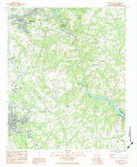 1983 Belton East1983 Print · USGSUpstate South Carolina in the early eighties reveals a landscape of river-powered industry and deep-rooted rural communities. Researchers can trace family landmarks and transport hubs like the Pelzer Mills Dam, Cheddar, and Cedar Grove Sch.
 - 1984 Map of Greenville
 1984 Greenville1984 Print · USGSThe South Carolina Upstate undergoes rapid suburban growth in the mid-eighties as modern interstates begin to reshape the landscape. Researchers can trace historic rail lines like the Greenville and Northern Railway and locate local landmarks such as Clemson University and Paris Mountain State Park.
 - 1991 Map of Greenville
 1991 Greenville1991 Print · USGSThe South Carolina Upstate was a landscape of rapid growth and engineering in the early nineties. Researchers can trace the expansion of Greenville and Spartanburg, find Clemson University, or study the massive reservoirs of Hartwell Lake and Lake Keowee.
 - 2011 Map of Belton East, 2011 Print
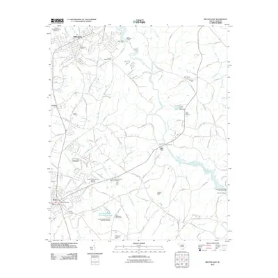 2011 Belton East2011 Print · USGSIn the early twenty-first century, this area of the South Carolina Piedmont shows a landscape defined by the Saluda River and its many tributaries. Researchers can locate family heritage sites like Beech Springs Cemetery or trace the agricultural footprint of Callaham Orchards and Moores Field.
 - 2014 Map of Belton East, 2014 Print
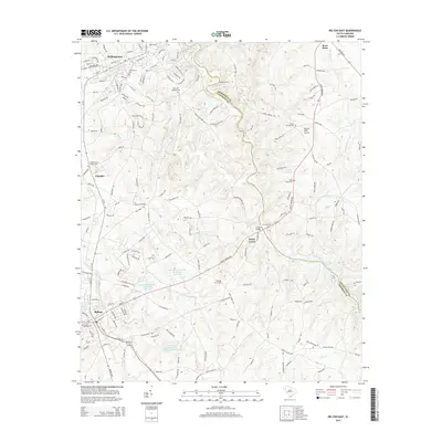 2014 Belton East2014 Print · USGSThe borderlands of Anderson and Greenville counties are captured here in the early 21st century, centered on the Saluda River valley. Local historians can trace old river crossings like Hollands Ford and find family names at Cedar Shoals Cem or Beech Springs Cem.
 - 2017 Map of Belton East, 2017 Print
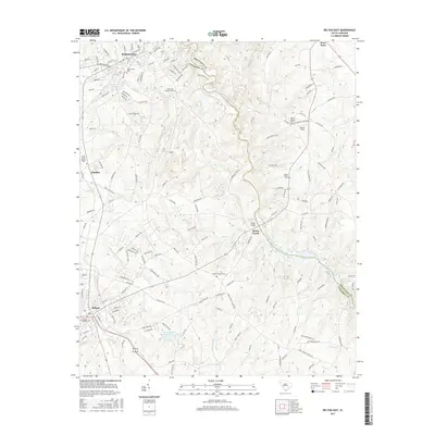 2017 Belton East2017 Print · USGSAnderson and Greenville Counties are captured here during a period of modern growth that maintains its rural character. Genealogists can trace family lines through several local sites like Shadow Grove Cem, Williamston Cem, and the community at Toney Creek.
 - 2020 Map of Belton East, 2020 Print
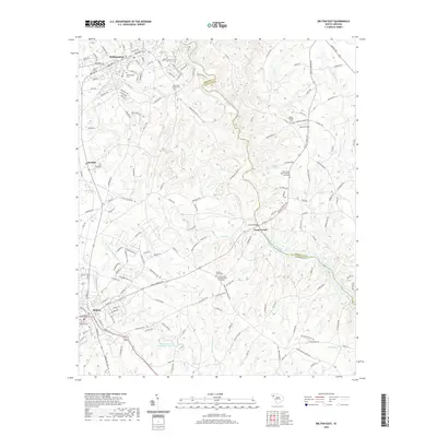 2020 Belton East2020 Print · USGSAnderson and Greenville counties meet along the winding Saluda River in this modern survey of the South Carolina Piedmont. Genealogists and local historians can trace family plots at Big Creek Baptist Cem, Shadow Grove Cem, and Beech Springs Cem.
 - 2024 Map of Belton East, 2024 Print
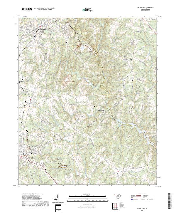 2024 Belton East2024 Print · USGSAnderson and Greenville counties are captured here in the mid-2020s, showing a landscape defined by the winding Saluda River and established rural communities. Family historians can trace numerous burial grounds and landmarks like Sally Reed Cem, New Hope Church Graveyard, and the historic crossing at Clarks Ferry.
End of results
Showing maps 1-11 of 11
Frequently asked questions
- What are the different types of historical maps available for Glenwood Annex?
- What is the oldest map of Glenwood Annex?
- Where can I purchase historical maps of Glenwood Annex for my home or office?
- Where can I download high-res historical maps of Glenwood Annex?
- Are there historical topographic maps available for Glenwood Annex?
- Is there historical aerial imagery available for Glenwood Annex?
- Where are historical maps of Glenwood Annex sourced from?